
Creation of the Crown City.
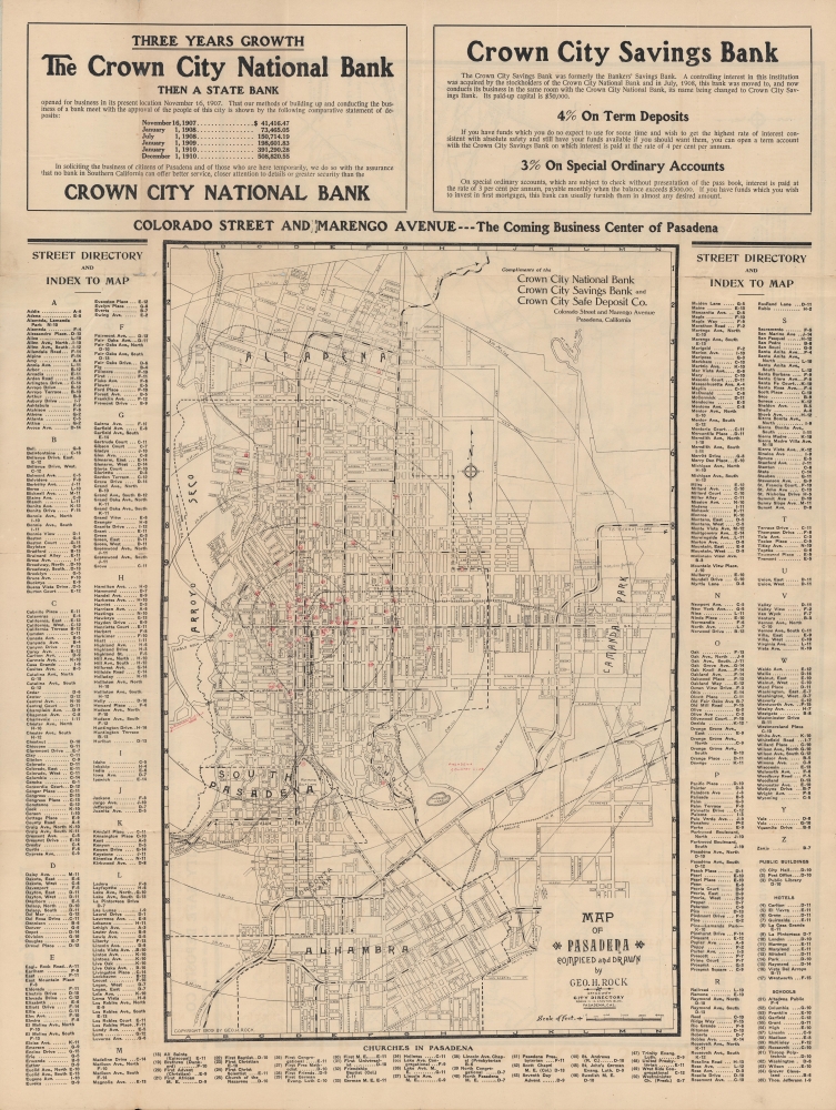
Map of Pasadena.
sold
- Digital Map Information
- Suitable for large format printing
- Full resolution TIFF file
- ICC color profile embedded
- Delivered instantly via download link
A 1909 map of Pasadena, California and surrounding communities (Altadena, South Pasadena, Alhambra) by George Rock. It displays the city at an important point in its history, as it expanded rapidly, becoming renowned as an idyllic retreat from Los Angeles and points much farther afield. (more details)
Land ownership and layers of history.
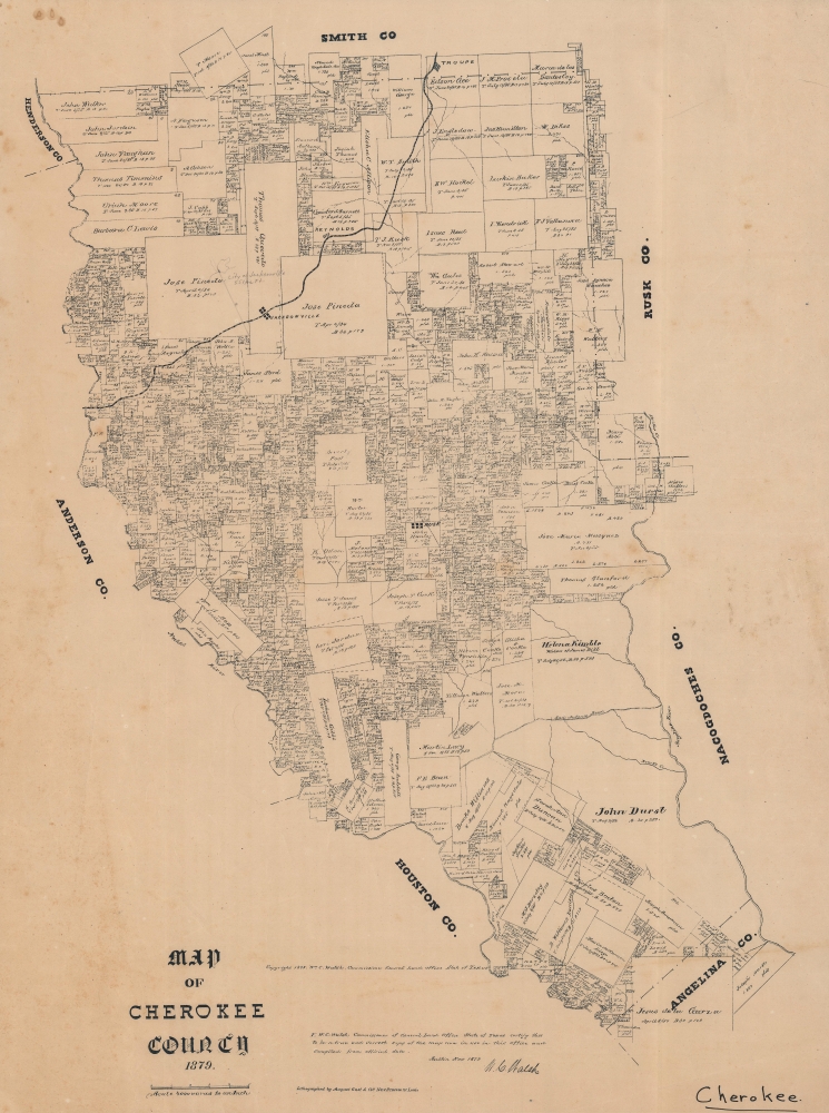
Map of Cherokee County, 1879.
sold
- Digital Map Information
- Suitable for large format printing
- File Size: 25.43 MB
- File Type: ZIP / TIFF
- ICC color profile embedded
- Delivered instantly via download link
An 1879 Texas General Land Office cadastral map of Cherokee County, Texas. The map features manuscript highlighting the relocation of Jacksonville to Troup, to capitalize on the route Great Northern Railroad. Moreover, the early history of the county, from Spanish colonization though to Texas statehood, can be deduced from the plots and other features. (more details)
'One of the supreme examples of the map maker's art'. ~ Shirley
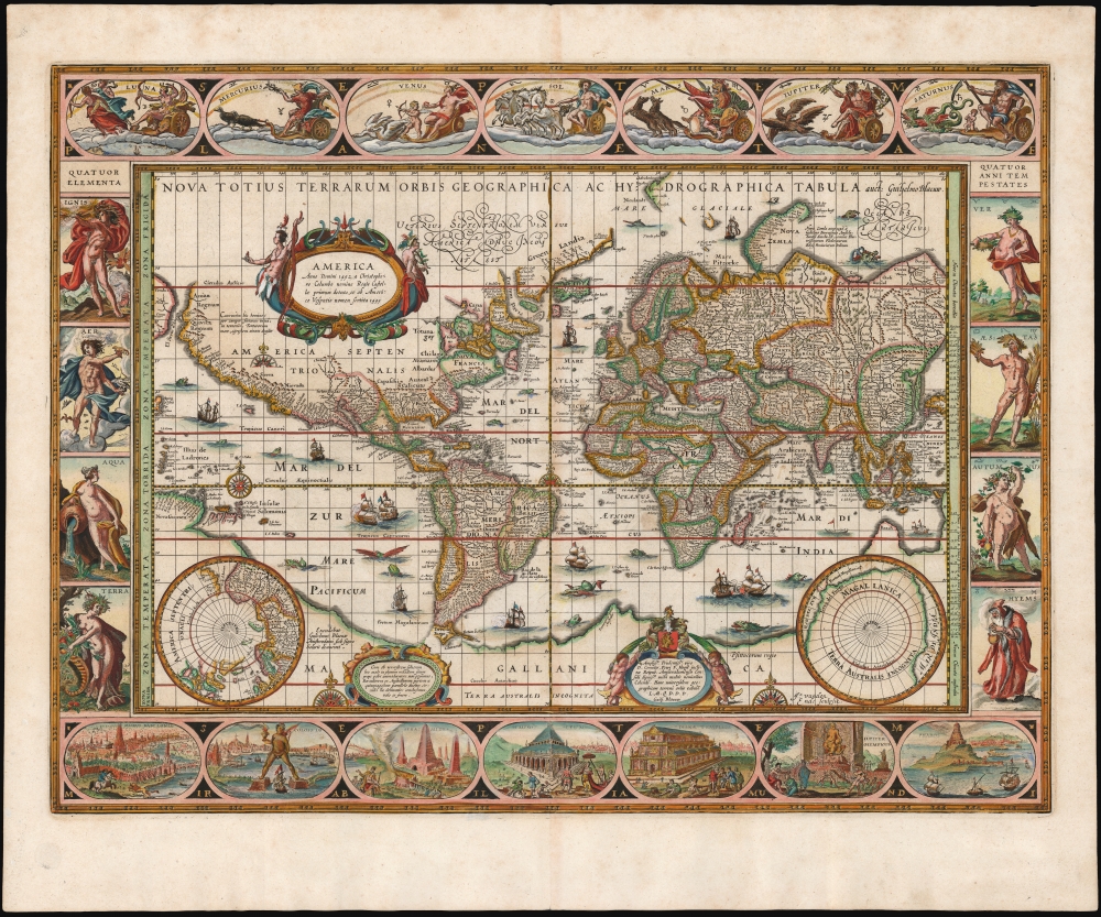
Nova Totius Terrarum Orbis Geographica ac Hydrographica Tabula. auct. Guiljelmo Blaeuw.
sold
- Digital Map Information
- Suitable for large format printing
- DPI: 600
- File Size: 61.29 MB
- File Type: ZIP / TIFF
- ICC color profile embedded
- Delivered instantly via download link
This is Willem Blaeu's magnificent map of the world, considered the epitome of the carte á figures and the gold standard for decorative cartography of the Dutch Golden Age. Despite being created in 1606, it was the centerpiece map for Blaeu's Atlas Novus for nearly twenty years starting in 1630. It represented the dominant European image of the world for the first part of the 17th century, and remains the sine qua non for collectors of world maps, and of Dutch cartography. (more details)
Elegant Edition of the Pinnacle of the Colonial Mapping of Virginia.
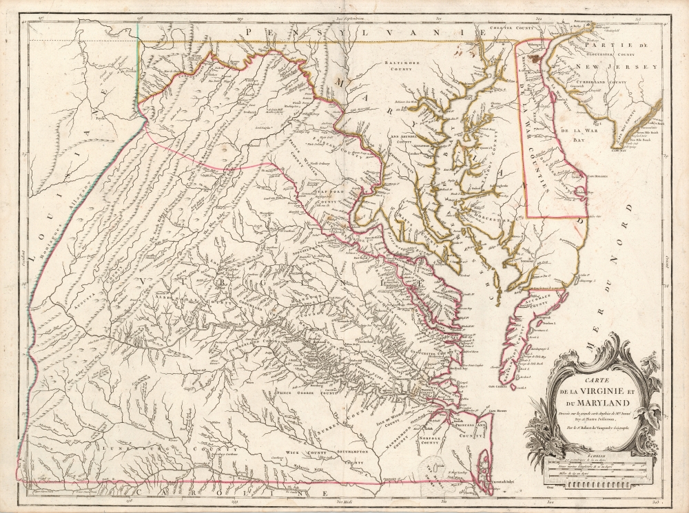
Carte de la Virginie et du Maryland Dressée sur la grande carte Angloise de Mrs. Josué Fry et Pierre Jefferson, Par le Sr. Robert de Vaugondy Géographe.
$2,200.00
Acquire
- Digital Map Information
- Suitable for large format printing
- Full resolution TIFF file
- ICC color profile embedded
- Delivered instantly via download link
This is Robert de Vaugondy's 1755 map of Virginia and Maryland, here in an attractive example of the 1793 5th state. (more details)
Marks gold deposits as well as oil and gas.
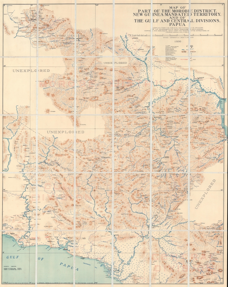
Map of Part of the Morobe District, New Guinea Mandated Territory, and of the Gulf and Central Divisions, Papua.
sold
- Digital Map Information
- Suitable for large format printing
- File Size: 162.84 MB
- File Type: ZIP / TIFF
- ICC color profile embedded
- Delivered instantly via download link
A contrast of incredible detail alongside blank unexplored regions, this is a 1935 James Nason-Jones map of part of Papua New Guinea. A geologist and prospector, Nason-Jones mapped the area while searching for gold and oil and deposits of both are marked here. (more details)
Superbly decorative map of Asia.
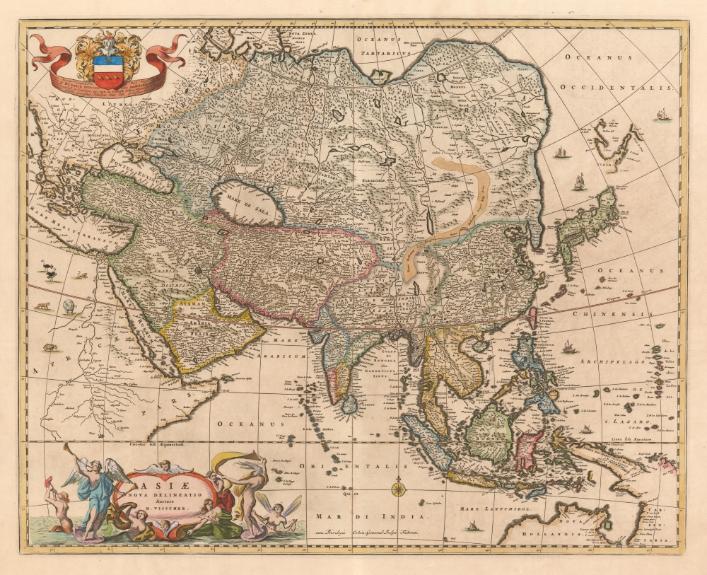
Asiae Nova Delineatio Auctore N. Visscher.
sold
- Digital Map Information
- Suitable for large format printing
- DPI: 600
- File Size: 21.69 MB
- File Type: ZIP / TIFF
- ICC color profile embedded
- Delivered instantly via download link
This is Nicolas Visscher's c. 1657 map of Asia, presenting an updated view of Pacific coast of the continent. The Visscher family generally employed larger plates and finer detail than the mapmakers of the first half of the 17th century, improving the clarity of the maps and allowing the addition of more geographical detail. The northern coast of Australia (Nova Hollandia on the map) and the coastline of New Guinea reflect the 1643 and 1644 voyages of Abel Tasman. (more details)
Join the Navy!

The Navy Wants Men.
sold
- Digital Map Information
- Suitable for large format printing
- File Size: 78.96 MB
- File Type: ZIP / TIFF
- ICC color profile embedded
- Delivered instantly via download link
This is a 1915 British Admiralty World War I recruiting broadside depicting sailors and an officer atop a crow's nest. One sailor looks through a spyglass to the right while the others gaze in various directions. Flags fly in the background. The blank white box in the bottom right corner usually displays information concerning local recruiting offices. (more details)
First edition of Mercator's Map of Denmark.
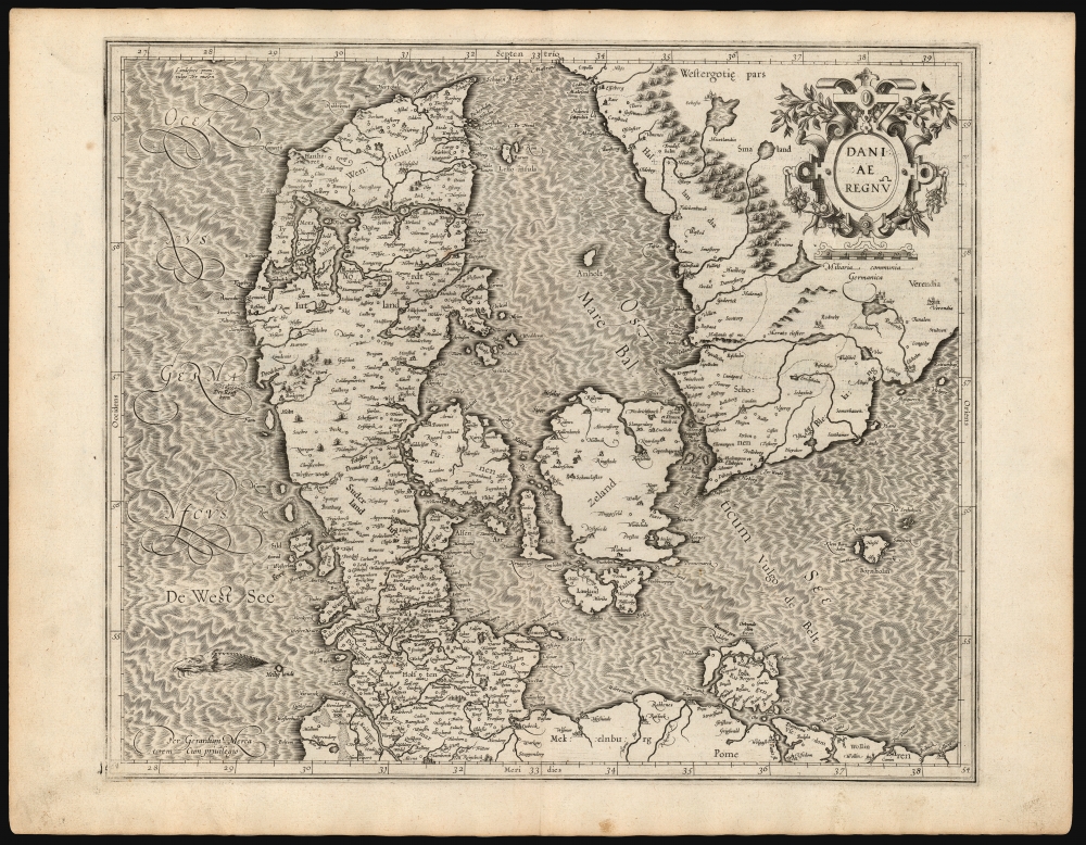
Daniae Regnū.
sold
- Digital Map Information
- Suitable for large format printing
- DPI: 600
- File Size: 56.73 MB
- File Type: ZIP / TIFF
- ICC color profile embedded
- Delivered instantly via download link
This is a superb example of Gerard Mercator's 1595 map of the kingdom of Denmark, in its first edition. It shows the kingdom during the prosperous 16th century, during which it controlled both sides of the entrance to the Baltic Sea. (more details)
Battle for the Baltic.
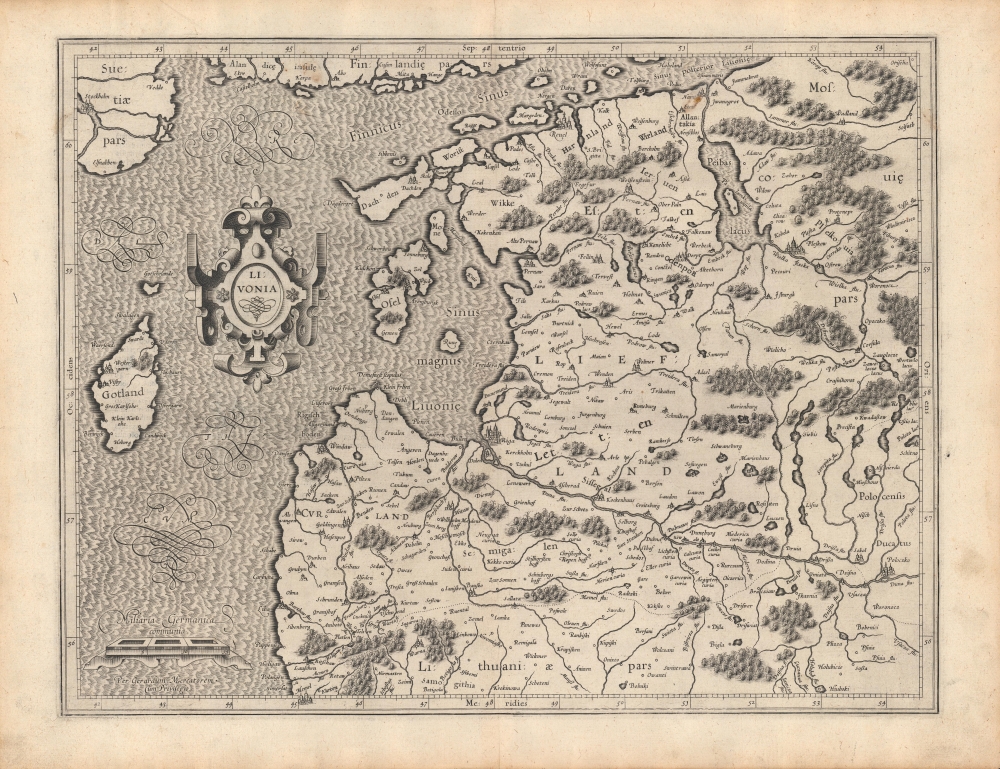
Livonia.
sold
- Digital Map Information
- Suitable for large format printing
- Full resolution TIFF file
- ICC color profile embedded
- Delivered instantly via download link
A beautifully engraved 1595 map of Livonia (modern-day Latvia and Estonia) that appeared in Gerardus Mercator's Atlas. It was published in the wake of a long conflict, known as the Livonian War (1558 - 1583), which drew in the nearby powers of Poland-Lithuania, Sweden, and Denmark-Norway, to prevent a Russian takeover of the region. (more details)
Silk Road Caravans and Caspian Sturgeon
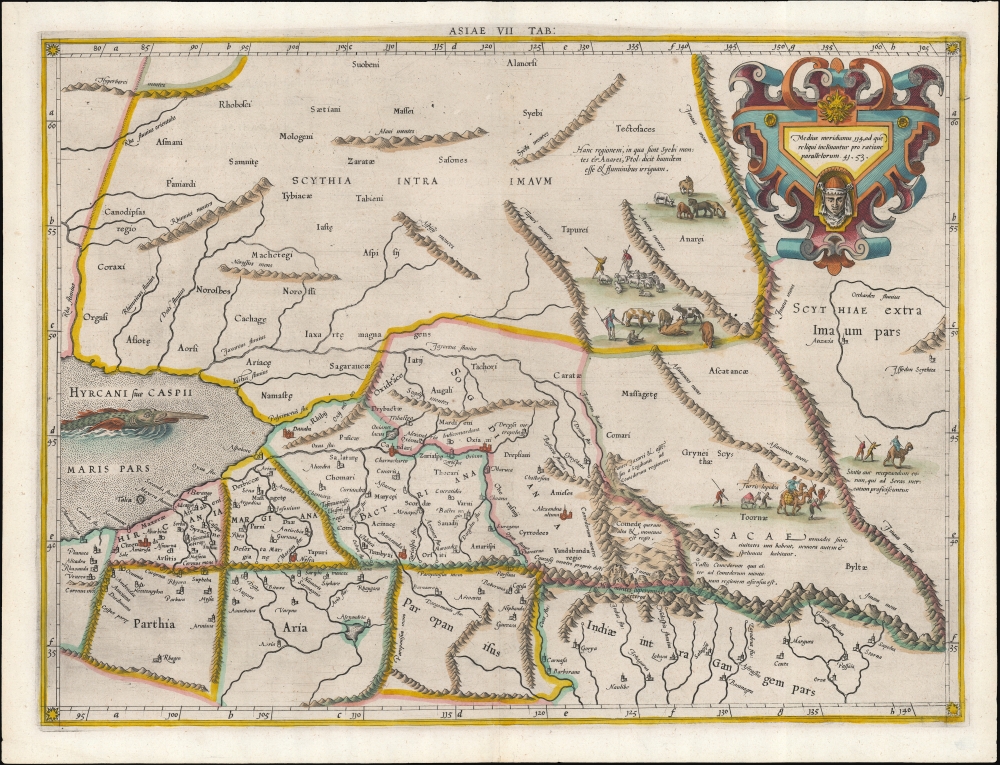
Asiae VII Tab.
sold
- Digital Map Information
- Suitable for large format printing
- DPI: 600
- File Size: 36.51 MB
- File Type: ZIP / TIFF
- ICC color profile embedded
- Delivered instantly via download link
This is an edition of Gerard Mercator's superb Ptolemaic map of central Asia and the Silk Road. The seventh Asian map from Ptolemy's Geography, it depicts the lands in Central Asia, east of the Caspian Sea. These were occupied in the 1st and 2nd centuries CE by the Sogdiana, an ancient Iranian civilization that at different times included territory located in present-day Kazakhstan, Tajikistan, and Uzbekistan. To the north are shown the lands of the nomadic Scythians. (more details)
Riding the roads and rails of Texas.
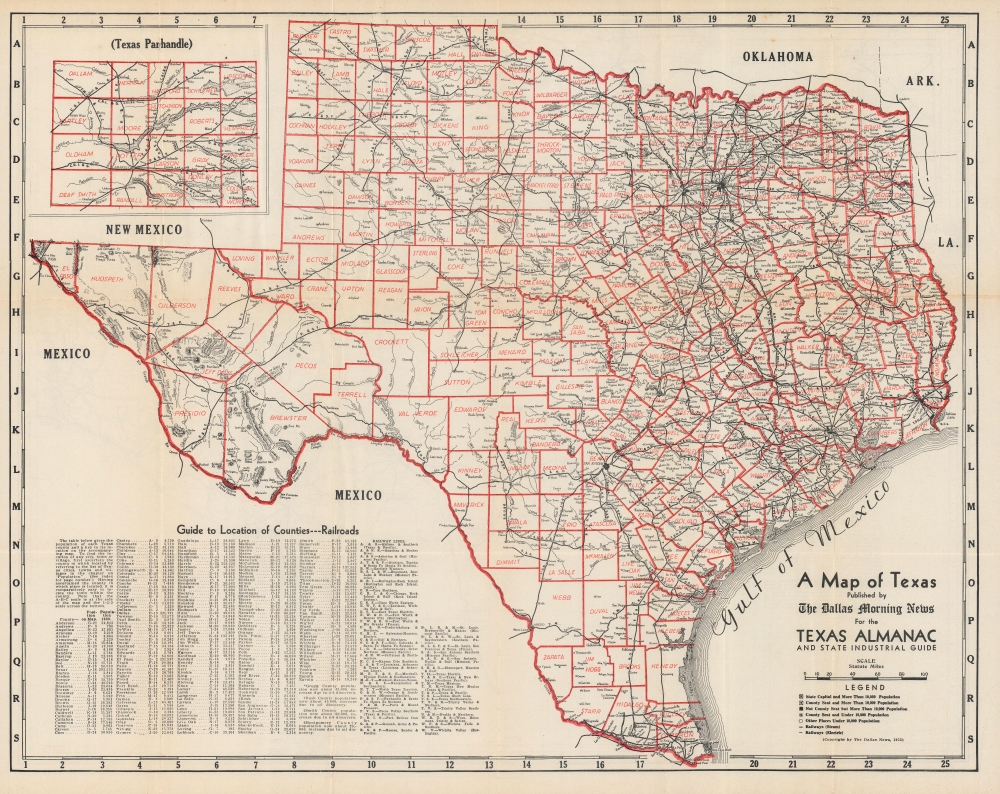
A Map of Texas / Highway Map of Texas.
sold
- Digital Map Information
- Suitable for large format printing
- Full resolution TIFF file
- ICC color profile embedded
- Delivered instantly via download link
An impressive double-sided map of Texas, published in 1933 by the Dallas Morning News, highlighting the state's extensive rail and road infrastructure. (more details)
Turmoil over slavery.
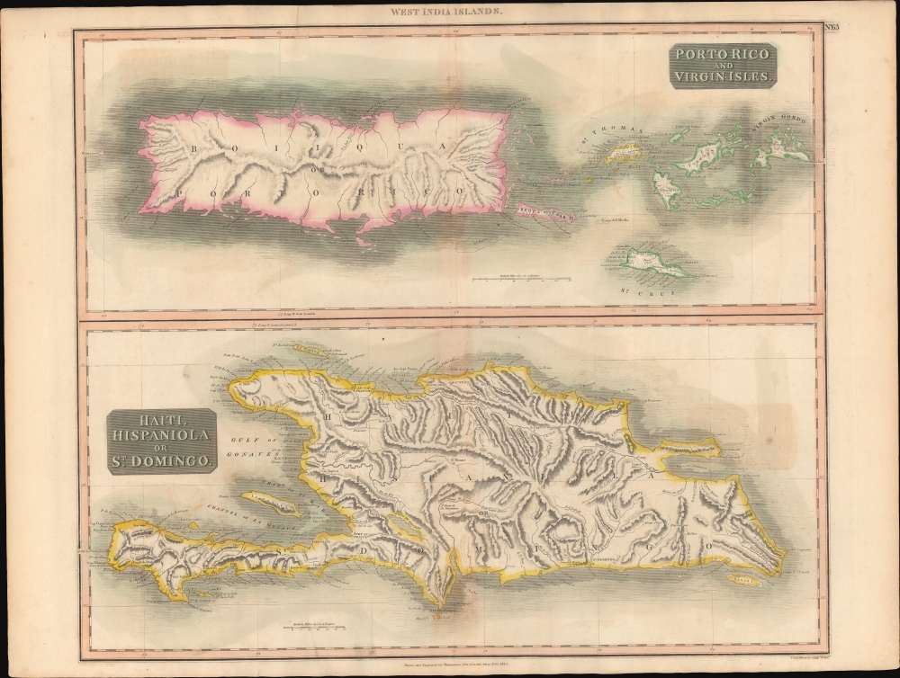
Porto Rico and Virgin Isles. / Haiti, Hispaniola or St. Domingo.
sold
- Digital Map Information
- Suitable for large format printing
- DPI: 600
- File Size: 714.76 MB
- File Type: ZIP / TIFF
- ICC color profile embedded
- Delivered instantly via download link
A beautiful large format 1815 John Thomson map of Porto Rico, the Virgin Islands, and Hispaniola (Haiti / Dominican Republic). When this map was issued, this was a region racked with internal strife and rebellion - mostly revolving around slavery. (more details)
Prime real estate on the Brazos.
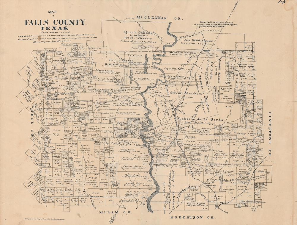
Map of Falls County, Texas.
sold
- Digital Map Information
- Suitable for large format printing
- File Size: 16.62 MB
- File Type: ZIP / TIFF
- ICC color profile embedded
- Delivered instantly via download link
A scarce 1879 plat map of Falls County, Texas produced by the Texas General Land Office. It provides a detailed portrait of the county roughly thirty years after its creation. (more details)
Contest for Control of Northern Italy.
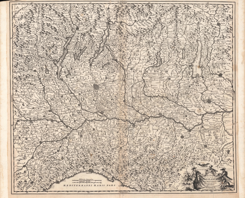
S.R.I. Feudum Ducatus Mediolanensis In Suas Principales Partes Exacte Divisus.
sold
- Digital Map Information
- Suitable for large format printing
- Full resolution TIFF file
- ICC color profile embedded
- Delivered instantly via download link
A scarce, early map by Johann Baptist Homann, published c. 1705, depicting a wide region around Milan, including Lombardy, Piedmont, Trentino-Alto Adige, and much of Switzerland. It was produced during the War of the Spanish Succession (1700 - 1715), when northern Italy was one of several battlefields contested by rival Habsburg and Bourbon forces. (more details)
Exploring the Arctic and Antarctic.
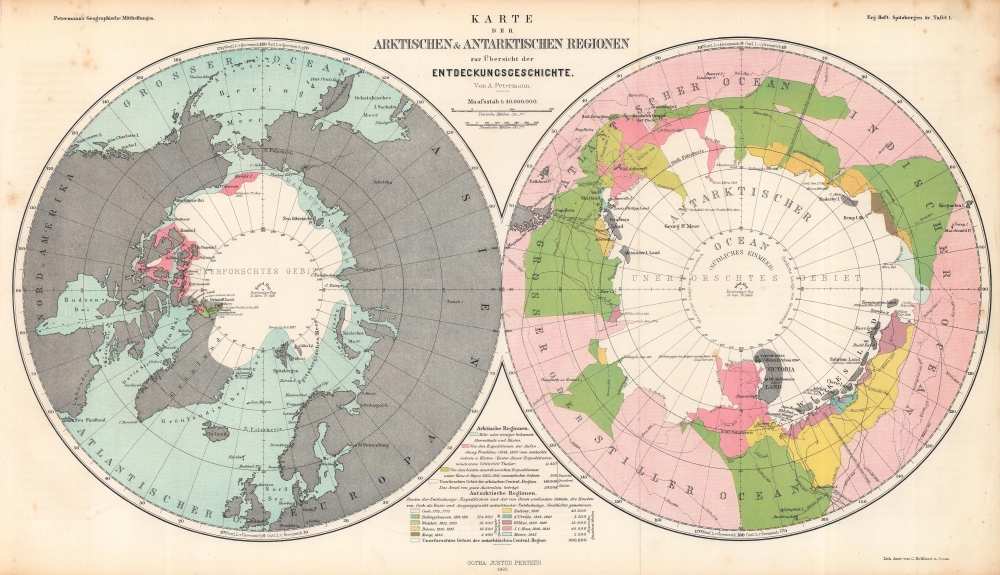
Karte der Arktischen und Antarktischen Regionen zur Übersicht der Entdeckungsgeschichte. / Map of the Arctic and Antarctic Regions for the Overview of the History of Discovery.
sold
- Digital Map Information
- Suitable for large format printing
- File Size: 25.7 MB
- File Type: ZIP / TIFF
- ICC color profile embedded
- Delivered instantly via download link
Consisting of two polar projection maps on one sheet, this is an 1865 Augustus Petermann map of the Arctic and Antarctic. Both maps highlight areas recorded by European explorers beginning in the 1770s through the 1860s. Islands, straits, bays, seas, and other locations are noted in both regions. A key explaining the various colors employed is situated at bottom center. (more details)
Before the railroads.
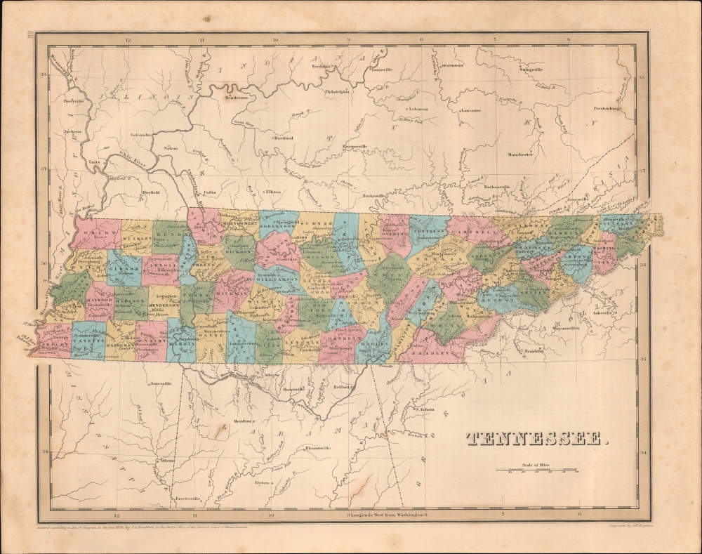
Tennessee.
sold
- Digital Map Information
- Suitable for large format printing
- DPI: 600
- File Size: 21.04 MB
- File Type: ZIP / TIFF
- ICC color profile embedded
- Delivered instantly via download link
This is an 1838 Thomas G. Bradford map of Tennessee. (more details)
The Mormon War of 1838.
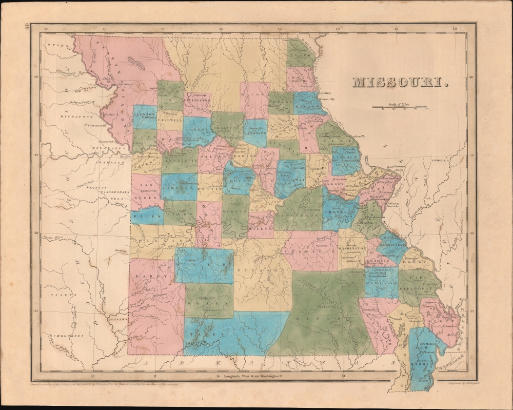
Missouri.
sold
- Digital Map Information
- Suitable for large format printing
- DPI: 600
- File Size: 21.95 MB
- File Type: ZIP / TIFF
- ICC color profile embedded
- Delivered instantly via download link
This is an 1838 Thomas G. Bradford map of Missouri. The map illustrates Missouri in the midst of massive growth and expansion, as well as during a period of significant internal turmoil relating to the 1838 Mormon War and ongoing repercussions of its admission to the Union, nearly 20 years earlier, as a Slave State. (more details)
The center of the pre-Civil War progressive Politics.
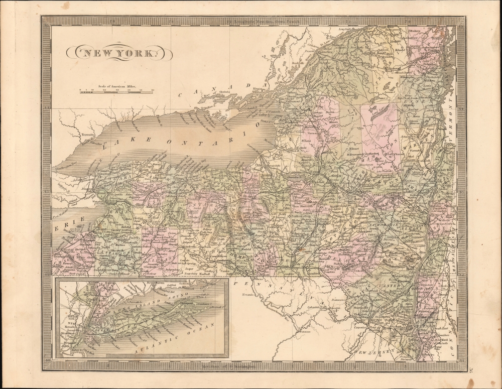
New York.
sold
- Digital Map Information
- Suitable for large format printing
- DPI: 600
- File Size: 20.74 MB
- File Type: ZIP / TIFF
- ICC color profile embedded
- Delivered instantly via download link
This is Jeremiah Greenleaf's 1849 map of New York State. It is one of the most well-developed and detailed maps from the atlas due to the precursor map being by David Burr, who was not only a New Yorker, but Surveyor General of New York under Governor Simeon De Witt. When this map was issued, New York was the hub of American progressive politics and the driving force behind the Abolitionist Movement. (more details)
Early urbanization of Pinellas County.
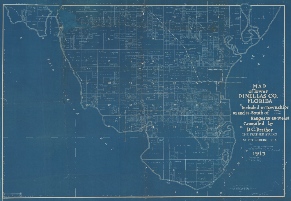
Map of Lower Pinellas Co. Florida Included in Townships 31 and 32 South of Ranges 15-16-17 east Compiled by R. C. Prather.
sold
- Digital Map Information
- Suitable for large format printing
- File Size: 234.12 MB
- File Type: ZIP / TIFF
- ICC color profile embedded
- Delivered instantly via download link
An extraordinary 1913 Ralph Carlyle Prather cyanotype map of the southern part of the Pinellas County Peninsula, near Tampa, Florida. It illustrates the early urbanization not only of Tampa Bay and Pinellas County, but also of the wider Florida Land Boom that would reach its peak 8 year later. (more details)
Vietnamese map detailing a Tet Offensive attack.

Quyết Tâm Chiến Đấu. Tấn Công của B.C.H./T.P. (Ban Chỉ Huy Thành Phố)./ Determined to Fight. Assault by the City Command Committee.
sold
An outstanding discovery, this is a 1968 Vietnamese Vietnam War field tactics manuscript map of My Tho, South Vietnam, detailing a Viet Cong attack during the Tet Offensive. (more details)