
Anville, Jean Baptiste Bourguignon d' (sold)
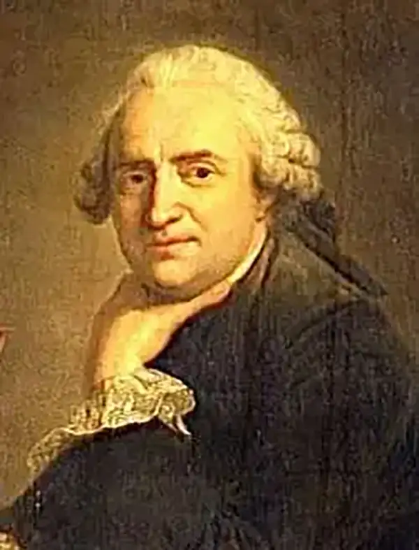
Jean Baptiste Bourguignon d'Anville (1697 - 1782) was perhaps the most important and prolific cartographer of the 18th century. D'Anville's passion for cartography manifested during his school years when he amused himself by composing maps for Latin texts. There is a preserved manuscript dating to 1712, Graecia Vetus, which may be his earliest surviving map - he was only 15 when he drew it. He would retain an interest in the cartography of antiquity throughout his long career and published numerous atlases to focusing on the ancient world. At twenty-two D'Anville, sponsored by the Duke of Orleans, was appointed Geographer to the King of France. As both a cartographer and a geographer, he instituted a reform in the general practice of cartography. Unlike most period cartographers, D'Anville did not rely exclusively on earlier maps to inform his work, rather he based his maps on intense study and research. His maps were thus the most accurate and comprehensive of his period - truly the first modern maps. Thomas Basset and Philip Porter write: "It was because of D'Anville's resolve to depict only those features which could be proven to be true that his maps are often said to represent a scientific reformation in cartography." (The Journal of African History, Vol. 32, No. 3 (1991), pp. 367-413). In 1754, when D'Anville turned 57 and had reached the height of his career, he was elected to the Academie des Inscriptions. Later, at 76, following the death of Philippe Buache, D'Anville was appointed to both of the coveted positions Buache held: Premier Geographe du Roi, and Adjoint-Geographer of the Academie des Sciences. During his long career D'Anville published some 211 maps as well as 78 treatises on geography. D'Anville's vast reference library, consisting of over 9000 volumes, was acquired by the French government in 1779 and became the basis of the Depot Geographique - though D'Anville retained physical possession his death in 1782. Remarkably almost all of D'Anville's maps were produced by his own hand. His published maps, most of which were engraved by Guillaume de la Haye, are known to be near exact reproductions of D'Anville' manuscripts. The borders as well as the decorative cartouche work present on many of his maps were produced by his brother Hubert-Francois Bourguignon Gravelot. The work of D'Anville thus marked a transitional point in the history of cartography and opened the way to the maps of English cartographers Cary, Thomson and Pinkerton in the early 19th century.
Scarce highly detailed map of East Africa detailing the explorations of Jeronimo Lobo.
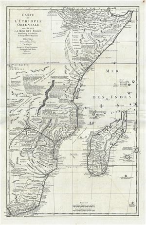
Carte de L'Ethiopie Orientale situee sur La Mer Des Indes Entre le Cap Guardasouin, le Cap de Bonne Esperance.
sold
- Digital Map Information
- Suitable for large format printing
- DPI: 300
- File Size: 19.81 MB
- File Type: ZIP / TIFF
- ICC color profile embedded
- Delivered instantly via download link
A scarce 1727 map of eastern and southern Africa by J. B. B. D'Anville. The map covers the Africa coastline from Bab al-Mandab and the Horn of Africa couth to the Cape of Good Hope, South Africa, and extends inland roughly to the, at this time in history, largely ... (more details)
Incredible hand colored map of Hispaniola before Christopher Columbus illustrating indigenous Zemi artifacts.
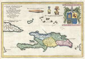
L'Isle Espagnole Sous le Nom Indien d'Hayti où comme elle étoit possédée par ses habitans naturels lor de la découverte, Avec les prémiers Etablissements des Espagnols.
sold
- Digital Map Information
- Suitable for large format printing
- DPI: 300
- File Size: 2.56 MB
- File Type: ZIP / TIFF
- ICC color profile embedded
- Delivered instantly via download link
This is a beautiful hand colored 1731 Jean-Baptiste Bourguinon d'Anville map of Haiti. This map depicts the island of Hispaniola as it may have been before Christopher Columbus made is trans-Atlantic voyage. Hispaniola is divided into five different 'states,' ... (more details)
Scarce map of South Central Africa.
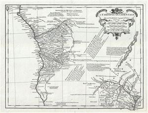
L'Ethiopie Occidentale.
sold
- Digital Map Information
- Suitable for large format printing
- DPI: 300
- File Size: 6.62 MB
- File Type: ZIP / TIFF
- ICC color profile embedded
- Delivered instantly via download link
Scarce map of the Congo, Angola, central Africa, and Monomotapa (Zimbabwe / Malawi) issued in 1732 by Jean-Baptiste Bourguignon d'Anville. D'Anville's map covers the west coast of Africa roughly from Sao Tome and the Gabon River southwards as far as Gulfo ... (more details)
The first detailed western atlas map of Jiangsu Province and Shanghai Municipality featuring gold foiling.
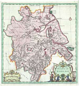
Province de Kiang-Nan.
sold
- Digital Map Information
- Suitable for large format printing
- DPI: 300
- File Size: 6.45 MB
- File Type: ZIP / TIFF
- ICC color profile embedded
- Delivered instantly via download link
A rare and important 1737 map of Kiang-Nan Province, China, by the prominent French cartographer Jean Baptiste Bourguignon d'Anville. Centered loosely on Nanjing, the map roughly covers the modern-day Jiangsu Province and Shanghai Municipality. ... (more details)
The first map to provide Europeans with information about Korea.
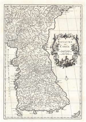
Royaume de Corée.
sold
- Digital Map Information
- Suitable for large format printing
- Full resolution TIFF file
- ICC color profile embedded
- Delivered instantly via download link
This is Jean Baptiste Bourguignon d'Anville's (1697 - 1782) landmark 1737 map of Korea - the first map to introduce Korea to Europe. It is the first European published map to provide detailed cartographic data on Korea including a breakdown of Korean provinces with a reasonably accurate nomenclature. It further provides valuable references relating to the Dokdo / Ulleungdo dispute between Korea and Japan. (more details)
First European map of Korea.
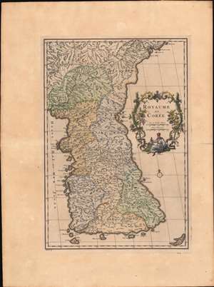
Royaume de Corée.
sold
- Digital Map Information
- Suitable for large format printing
- Full resolution TIFF file
- ICC color profile embedded
- Delivered instantly via download link
This is Jean Baptiste Bourguignon d'Anville's landmark 1737 map of Korea - the first map to introduce Korea to Europe. It is the first European published map to provide detailed cartographic data on Korea including a breakdown of Korean provinces with a reasonably accurate nomenclature. It further provides valuable references relating to the Dokdo / Ulleungdo dispute between Korea and Japan. (more details)
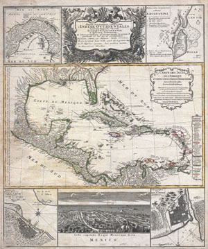
Mappa geographica, complectens I. Indiae Occidentalis partem mediam circum Panamensem II. Ipsumq. isthmum III. Ichnographiam praecipuorum locorum & portuum ad has terras pertinentium. / Carte des Isles de L'Amerique et Deplusieurs Pays de Terre Ferme situes su devant de ces Isles & autour de Golfe de Mexique.
sold
- Digital Map Information
- Suitable for large format printing
- DPI: 300
- File Size: 8.25 MB
- File Type: ZIP / TIFF
- ICC color profile embedded
- Delivered instantly via download link
A wonderful example of J. B. Homann's spectacular map of the West Indies. Consists of maps based upon the admirable work of D'Anville complied into a single sheet. The primary map, attributed to D'Anville's work of 1731, depicts the West Indies ... (more details)
An early example of d'Anville's influential map of China.
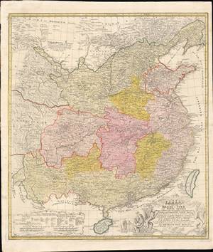
Regni Sinae Vel Sinae Propriae Mappa et Descriptio Geographica.
sold
- Digital Map Information
- Suitable for large format printing
- Full resolution TIFF file
- ICC color profile embedded
- Delivered instantly via download link
This is a rare and early example of d'Anville's famous map of China, printed in c. 1738 by Johann Hase of the Homann Heirs publishing house. It shows the geography and provinces of 'China proper,' as well as surrounding regions, as it stood in the early 18th century. (more details)
One of the finest large format maps of Africa to appear in the 18th century.
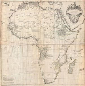
Afrique Publiee sous les Auspices de Monseigneur le Duc D'Orleans Premier Prince du Sang.
sold
- Digital Map Information
- Suitable for large format printing
- DPI: 300
- File Size: 43.33 MB
- File Type: ZIP / TIFF
- ICC color profile embedded
- Delivered instantly via download link
This is one of the largest and most influential maps of Africa to appear in the mid-18th century. Anville's map covers the entire continent of Africa from the Mediterranean to the Cape of Good Hope and from the Cape Verde Islands to Madagascar. ... (more details)
Map showing one of the earliest obtainable depictions of a harbor in Florida.
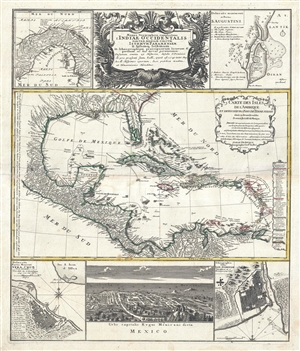
Mappa geographica, complectens I. Indiae Occidentalis partem mediam circum Panamensem II. Ipsumq. isthmum III. Ichnographiam praecipuorum locorum & portuum ad has terras pertinentium. / Carte des Isles de L'Amerique et Deplusieurs Pays de Terre Ferme situes su devant de ces Isles & autour de Golfe de Mexique.
sold
- Digital Map Information
- Suitable for large format printing
- DPI: 300
- File Size: 16.11 MB
- File Type: ZIP / TIFF
- ICC color profile embedded
- Delivered instantly via download link
A wonderful example of J. B. Homann's spectacular map of the West Indies. Consists of maps based upon the admirable work of D'Anville compiled into a single sheet. The primary map, attributed to D'Anville's work of 1731, depicts the West Indies ... (more details)
The War of Jenkins' Ear.
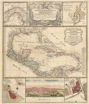
Mappa geographica, complectens I. Indiae Occidentalis partem mediam circum Panamensem II. Ipsumq. isthmum III. Ichnographiam praecipuorum locorum et portuum ad has terras pertinentium. / Carte des Isles de L'Amerique et Deplusieurs Pays de Terre Ferme situes su devant de ces Isles et autour de Golfe de Mexique.
sold
- Digital Map Information
- Suitable for large format printing
- DPI: 600
- File Size: 62.38 MB
- File Type: ZIP / TIFF
- ICC color profile embedded
- Delivered instantly via download link
This is a 1740 Homann Heirs map of Florida, the West Indies, and Central America, published to highlight the major theater of conflict during the War of Jenkins' Ear. It is based upon the cartography of Jean Baptiste Bourguignon d'Anville, but features several relevant maps compiled into a single sheet. (more details)
D'Anville's map of Italy.
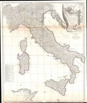
L'Italie, publiee sous les auspices de Monseigneur le Duc d'Orleans, Premier Prince du Sang.
sold
- Digital Map Information
- Suitable for large format printing
- DPI: 600
- File Size: 38.96 MB
- File Type: ZIP / TIFF
- ICC color profile embedded
- Delivered instantly via download link
This is a 1743 Jean Baptiste Bourguignon d'Anville map of Italy. D'Anville's trademark detail is present throughout, with innumerable cities, towns, and villages identified. Rivers and lakes are illustrated and labeled, including Lake Geneva and Lake Como. Mount Etna and Mount Vesuvius are labeled as well. The Dalmatian coast, including modern-day Croatia, occupy the upper right quadrant and are situated next to a decorative title cartouche which adorns the upper right corner. (more details)
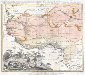
Gvinea propia, nec non Nigritae vel Terae Nigrorvm maxima pars : geographis hodiernis dicta utraq[ue] Aethiopia inferior, & hujus quidem pars australis ex delineationibus Anvillianis itineri guineensi D. de Marchais insertis secundum leges projectionis stereographicæ Hasianae designata & edita studio & labore Homannianorum Heredum. Norimb. cum privil. S.C.M. A. 1743 La Gvinee de meme que la plus grande partie du Pais des Negres : appellées par les geographes modernes Ethiopie inferievre & meridionale tirées des morceaux geographiques de Mr. d'Anville, qu'il a inseres au voyage du Chev. de Marchais, & puis desinées suivant les loix de la nouvelle projection de feu Mr. le Prof. Has, par les Heritiers d'Homan A. 1743.
sold
- Digital Map Information
- Suitable for large format printing
- Full resolution TIFF file
- ICC color profile embedded
- Delivered instantly via download link
One of the most beautifully produced maps of west Africa to appear in the 17th century. Based on earlier Homann maps and research by Anville, this map covers the northwestern part of Africa from Cape Blanc and Senegal to Guinea Inferior, around ... (more details)
First Accurate English Map of Tibet.
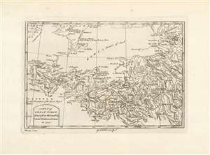
A Map of Great Tibet, drawn from that made by Lama Mathematicians in 1717.
sold
- Digital Map Information
- Suitable for large format printing
- Full resolution TIFF file
- ICC color profile embedded
- Delivered instantly via download link
This is the earliest English map of Tibet, engraved for Braddock Mead's A New General Collection of Voyages and Travels, published under his pseudonym 'John Green' by Thomas Astley in 1747. It is one of the few maps of the region to rely (ultimately) on local sources - although the mapmaker's claim that the map was 'drawn from that made by Lama Mathematicians' does not include the chain of Jesuit missionaries and French cartographers linking the 'Lama Mathematicians' to the 'English engraver'. The map covers an area from northern India (Delhi is shown) to encompass the Gobi Desert and as far as Kashgar. The map includes Lake Kokonor in the Qinghai Province of China, and embraces what is now the Xinjiang Uyghur Autonomous Region. The Himalaya Mountains of Tibet appear pictorially, but the map is rich in place names and rivers, including several rivers disappearing into the endoheiric basins of the Gobi. (more details)
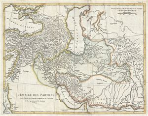
L'Empire des Parthes, pour l'Histoire des Empereurs Romains.
sold
- Digital Map Information
- Suitable for large format printing
- Full resolution TIFF file
- ICC color profile embedded
- Delivered instantly via download link
This is a scarce 1749 map of the Parthian or Arsacid Empire by J. B. B. D'Anville. Centered on the ancient Arsacid Empire in ancient Persia or Iran, it covers from Cyprus and Ankara in modern day Turkey east as far as the Indus River in modern ... (more details)
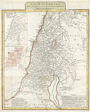
La Palestine pour l'Histoire des Empereurs Romains.
sold
- Digital Map Information
- Suitable for large format printing
- Full resolution TIFF file
- ICC color profile embedded
- Delivered instantly via download link
This is a beautiful example of J. B. B. D'Anville's 1750 map of Palestine, Israel, or the Holy Land. It covers from the ancient city of Sidon in modern day Lebanon south as far as the city of Gaza and Egypt. Includes the modern day countries ... (more details)
Rare and historically important map of Ecuador and the Spanish-French Geodesic Mission.
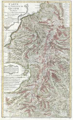
Carte de la Province de Quito au Perou. Dressée sur les observations astronomiques, mesure géographiques, journaux de route et mémoires de Mr. de Condamine et sur ceux de Don Pedro Maldonado.
sold
- Digital Map Information
- Suitable for large format printing
- DPI: 300
- File Size: 12.49 MB
- File Type: ZIP / TIFF
- ICC color profile embedded
- Delivered instantly via download link
This is a 1751 Charles Marie de la Condamine and Jean-Baptiste Bourguinon d'Anville map of Ecuador and Peru. This map details, with incredible precision, the area which the Spanish called the Province of Quito, which covers parts of modern day ... (more details)
A foundational map of Persia, Arabia, and India.
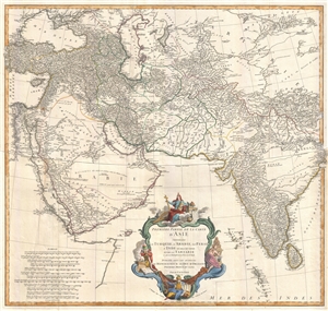
Premiere Partie de la Carte d'Asie contenant La Turquie, L'Arabie, La Perse, L'Inde en deca du Gange et de la Tartarie ce qui est limitrophe de la Perse et de l'Inde.
sold
- Digital Map Information
- Suitable for large format printing
- DPI: 300
- File Size: 25.92 MB
- File Type: ZIP / TIFF
- ICC color profile embedded
- Delivered instantly via download link
A monumental and highly detailed 1751 map of India, Persia, and Arabia by the French cartographer Jean Baptiste Bourguignon d'Anville. Centered on Persia, this map covers from Istanbul to eastern India and Tibet, and from the Black Sea to the ... (more details)
A foundational map of Persia, Arabia, and India.
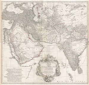
Premiere Partie de la Carte d'Asie contenant La Turquie, L'Arabie, La Perse, L'Inde en deca du Gange et de la Tartarie ce qui est limitrophe de la Perse et de l'Inde.
sold
- Digital Map Information
- Suitable for large format printing
- DPI: 300
- File Size: 34.98 MB
- File Type: ZIP / TIFF
- ICC color profile embedded
- Delivered instantly via download link
A monumental and highly detailed 1751 map of India, Persia, and Arabia by the French cartographer Jean Baptiste Bourguignon d'Anville. Centered on Persia, this map covers from Istanbul to eastern India and Tibet, and from the Black Sea to the ... (more details)
A foundational map of Persia, Arabia, and India.
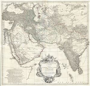
Premiere Partie de la Carte d'Asie contenant La Turquie, L'Arabie, La Perse, L'Inde en deca du Gange et de la Tartarie ce qui est limitrophe de la Perse et de l'Inde.
sold
- Digital Map Information
- Suitable for large format printing
- DPI: 300
- File Size: 36.34 MB
- File Type: ZIP / TIFF
- ICC color profile embedded
- Delivered instantly via download link
A monumental and highly detailed 1751 map of India, Persia, and Arabia by the French cartographer Jean Baptiste Bourguignon d'Anville. Centered on Persia, this map covers from Istanbul to eastern India and Tibet, and from the Black Sea to the ... (more details)
The finest obtainable Colonial Era map of the Gulf Coast around the Mississippi Delta and Louisiana.
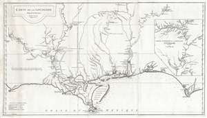
Carte de la Louisiane.
sold
- Digital Map Information
- Suitable for large format printing
- Full resolution TIFF file
- ICC color profile embedded
- Delivered instantly via download link
A lovely example of an important 1732/52 map of the Gulf coast and lower Mississippi River Valley by Jean Baptiste Bourguignon d'Anville. D'Anville's map covers from Sabine Pass (Cabo del Norte), Texas, past the Mississippi River Delta, ... (more details)
The finest obtainable Colonial Era map of the Gulf Coast around the Mississippi Delta and Louisiana.
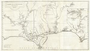
Carte de la Louisiane.
sold
- Digital Map Information
- Suitable for large format printing
- Full resolution TIFF file
- ICC color profile embedded
- Delivered instantly via download link
A flawless example of an extraordinary and important 1732/52 map of the Gulf coast and lower Mississippi River Valley by Jean Baptiste Bourguignon d'Anville. D'Anville's map covers from Sabine Pass (Cabo del Norte), Texas, past the ... (more details)
The finest obtainable Colonial Era map of the Gulf Coast around the Mississippi Delta and Louisiana.
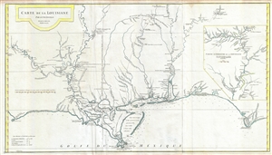
Carte de la Louisiane.
sold
- Digital Map Information
- Suitable for large format printing
- Full resolution TIFF file
- ICC color profile embedded
- Delivered instantly via download link
A fine example of an extraordinary and important 1732/52 map of the Gulf coast and lower Mississippi River Valley by Jean Baptiste Bourguignon d'Anville. D'Anville's map covers from Sabine Pass (Cabo del Norte), Texas, past the ... (more details)
The finest obtainable Colonial Era map of the Gulf Coast around the Mississippi Delta and Louisiana.
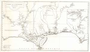
Carte de la Louisiane.
sold
- Digital Map Information
- Suitable for large format printing
- Full resolution TIFF file
- ICC color profile embedded
- Delivered instantly via download link
A lovely example of an important 1732/52 map of the Gulf coast and lower Mississippi River Valley by Jean Baptiste Bourguignon d'Anville. D'Anville's map covers from Sabine Pass (Cabo del Norte), Texas, past the Mississippi River Delta, Mobile Bay, and Pensacola Bay, to Saint Joseph Bay (Baye de St. Joseph) and Cabo Escondido (Cape San Blas), Florida. The map extends northwards along the Mississippi River as far as, roughly, Lake Providence, and northwards along the Alabama River (Riviere des Alibamons) as far as Fort Toulouse (modern day Wetumpka, Alabama). An inset in the upper right quadrant focuses on the upper Mississippi River Valley and includes much of the lower Missouri River as far as the Kansas River (Kansaz). Minimal topography is present as little was known, but the region's river courses, including the lower Mississippi, the Red, the Osage, and the lower Missouri, appear in some detail. presents Numerous depth soundings are indicated along the Gulf Coast and in the adjacent Bays. (more details)
New perspective on East Asia.
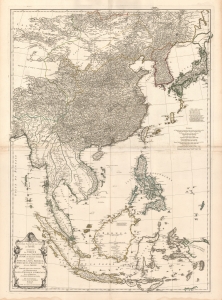
Seconde partie de la Carte d'Asie contenant La Chine et Partie de la Tartarie, L'Inde au de la du Gange, les Isles Sumatra, Java, Borneo, Moluques, Philippines, et du Japon.
sold
- Digital Map Information
- Suitable for large format printing
- DPI: 600
- File Size: 160.89 MB
- File Type: ZIP / TIFF
- ICC color profile embedded
- Delivered instantly via download link
A beautiful example of French cartographer J. B. B. d'Anville's 1752 map of the East Indies, China, Korea, and Japan. This influential map redefined European perceptions of East Asia and remained the dominant cartographic assessment of the region until the early 19th century. (more details)
A scarce large format map of East Asia.
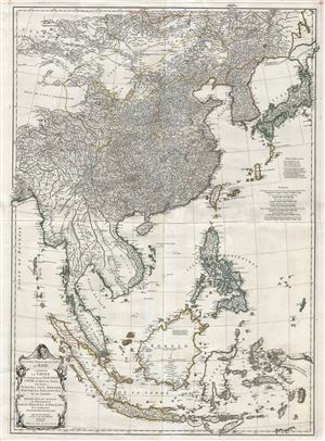
Seconde partie de la Carte d'Asie contenant La Chine et Partie de la Tartarie, L'Inde au de la du Gange, les Isles Sumatra, Java, Borneo, Moluques, Philippines, et du Japon.
sold
- Digital Map Information
- Suitable for large format printing
- Full resolution TIFF file
- ICC color profile embedded
- Delivered instantly via download link
A remarkable and near pristine example of French cartographer Jean Baptiste Bourguignon d'Anville's 1752 map of the East Indies, China Korea and Japan. This impressive map covers from the latitudes of Mongolia and Hokkaido ... (more details)
A fine 18th century wall map of North America.
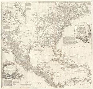
North America.
sold
- Digital Map Information
- Suitable for large format printing
- Full resolution TIFF file
- ICC color profile embedded
- Delivered instantly via download link
This is an exceptionally interesting and beautiful 1752 wall map of North America composed by Malachy Postlethwayte. Postlethwayte, an englishman, prepared this map for issue in conjunction with the second edition (1752) ... (more details)
A fine 18th century wall map of North America.
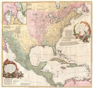
North America.
sold
- Digital Map Information
- Suitable for large format printing
- DPI: 300
- File Size: 40.79 MB
- File Type: ZIP / TIFF
- ICC color profile embedded
- Delivered instantly via download link
This is an exceptionally interesting and beautiful 1752 wall map of North America composed by Malachy Postlethwayte. Postlethwayte, an Englishman, prepared this map for issue in conjunction with the second edition (1752) ... (more details)
Essential French-and-Indian War Map.
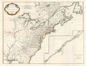
Canada Louisiane et Terres Angloises.
sold
- Digital Map Information
- Suitable for large format printing
- DPI: 300
- File Size: 56.89 MB
- File Type: ZIP / TIFF
- ICC color profile embedded
- Delivered instantly via download link
This is Jean-Baptiste Bourguignon d'Anville's 1755 map of North America from the Mississippi watershed eastwards. It spans from Newfoundland and James' Bay to St. Augustine, Florida. The map reaches westward as far as modern day Texas, and extends eastward to embrace Newfoundland. It details the English colonies along the Atlantic seaboard, as well as French claims in Louisiana (the Mississippi Valley) and modern day Canada. Elevation is rendered in profile with fortifications, towns, and American Indian villages identified. A large inset centered on Montreal details the course of the St. Lawrence River from the Isle Aux Coudres to Lake Ontario. (more details)
Anglophile edition of D'Anville's East Asia and Southeast Asia.
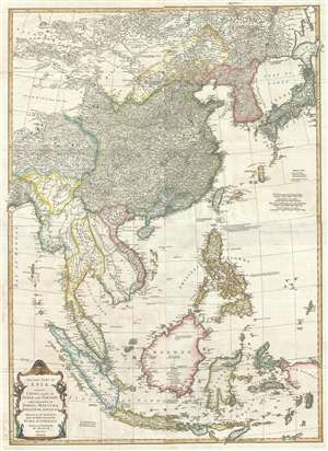
Second part of Asia, being China, part of India and Tartary: the islands of Sonda, Molucka, Philippin, Japan and c.
sold
- Digital Map Information
- Suitable for large format printing
- DPI: 300
- File Size: 31 MB
- File Type: ZIP / TIFF
- ICC color profile embedded
- Delivered instantly via download link
An exceptional 1755 map of East Asia by Malachy Postlethwayte and Solomon Bolton. Centered on the South China Sea, the map covers from Mongolia to java and from the Bay of Bengal to Hokkaido and new Guinea. It includes ... (more details)
Quirky 18th century British four-sheet wall map identifying the Biblical paradise of Ophir.
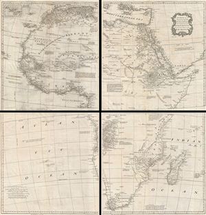
Africa, Performed by the Sr. D'Anville under the Patronage of the Duke of Orleans.
sold
- Digital Map Information
- Suitable for large format printing
- DPI: 300
- File Size: 56.05 MB
- File Type: ZIP / TIFF
- ICC color profile embedded
- Delivered instantly via download link
A curious and uncommon four panel wall map 1755 map of Africa by the english publisher M. Postlethwayte. A derivative of D'Anville's map of 1749, Postlethwayte's map covers the entire continent of Africa from the ... (more details)
Quirky 18th century British multi-sheet wall map of the Near and Middle East.
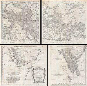
First Part of Asia, being Turkey, Arabia, Persia, most of India and Tartary.
sold
- Digital Map Information
- Suitable for large format printing
- DPI: 300
- File Size: 43.02 MB
- File Type: ZIP / TIFF
- ICC color profile embedded
- Delivered instantly via download link
A curious and uncommon four panel wall map 1786 map of India, Persia, and Arabia by the english publisher M. Postlethwayte. Published in four separate panels, this map can be either joined as a single massive map ... (more details)
Important map issued at the outset of the French and Indian War.
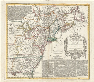
America Septentrionalis a domino d'Anville in Galiis edita nunc in Anglia coloniis in interiorem Virginiam deductis nec non fluvii Ohio cursu aucta notisq geographicis et historicis illustrata.
sold
- Digital Map Information
- Suitable for large format printing
- DPI: 300
- File Size: 14.65 MB
- File Type: ZIP / TIFF
- ICC color profile embedded
- Delivered instantly via download link
A fine example of the 1756 first edition of the Homann Heirs map of the English Colonies in North America near the outset of the French and Indian War. The map covers much of the eastern part of the modern day ... (more details)
Cutting-edge French Cartography, fine Dutch printing.
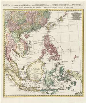
Carte d'une partie de la Chine, les isles Philippines, de la Sonde, Moluques, de Papoesi, etc.
sold
- Digital Map Information
- Suitable for large format printing
- DPI: 600
- File Size: 81.79 MB
- File Type: ZIP / TIFF
- ICC color profile embedded
- Delivered instantly via download link
This is a 1757 Covens and Mortier map of southern China, the Malay Peninsula, and the East Indies. It includes Taiwan (Formosa), the Philippines, Vietnam (Tonquin and Cochinchine), Laos, Cambodia, Thailand (Siam), Malay, Singapore, Sumatra, and Borneo, as well as most of modern-day Indonesia. The map replaces earlier Covens and Mortier maps based on the work of Guillaume De l'Isle, instead drawing on newer maps by Jean Baptiste Bourguignon d'Anville. (more details)
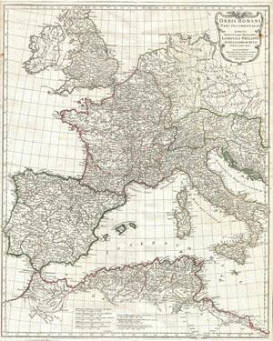
Orbis Romani, pars occidentalis. Auspiciis Serenissimi Principis Ludovici Philippi, Aurelianorum Ducis publici juris facta. Auctor d'Anville, Regiae Humaniorium Litterarum Academiae, et Scientiarum Petropolitanae Socius, Celsitudinique Serenissimae a Secretis. MDCCLXIII.
sold
- Digital Map Information
- Suitable for large format printing
- Full resolution TIFF file
- ICC color profile embedded
- Delivered instantly via download link
This is the stunning western sheet from Jean Baptiste Bourguignon D'Anville's two map set depicting the Roman Empire. Depicts the western portion of the Roman Empire from Italy and Dalmatia westward to include ... (more details)
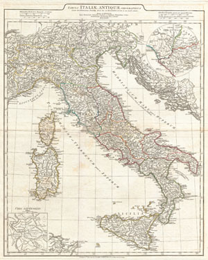
Tabula Italiae Antiquae Geographica Quam Excellentissimus Dominus Dux de la Rochefou Cauld in oere incidi curavit.
sold
- Digital Map Information
- Suitable for large format printing
- DPI: 300
- File Size: 17.94 MB
- File Type: ZIP / TIFF
- ICC color profile embedded
- Delivered instantly via download link
A large and dramatic 1764 J. B. B. D'Anville map of Italy in ancient Roman times. Covers from Lake Geneva (Lemanus Lac) to Sicily (Sicilia), inclusive of the entire Italian peninsula, Sardinia, Corsica, ... (more details)
A fine 18th century wall map of North America.
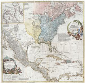
North America.
sold
- Digital Map Information
- Suitable for large format printing
- DPI: 300
- File Size: 40.31 MB
- File Type: ZIP / TIFF
- ICC color profile embedded
- Delivered instantly via download link
This is an exceptionally interesting and beautiful 1766 wall map of North America composed by Malachy Postlethwayte. Postlethwayte, an Englishman, prepared this map for issue in conjunction with the 3rd ... (more details)
Premier Great Lakes Map of the Mid-18th Century.
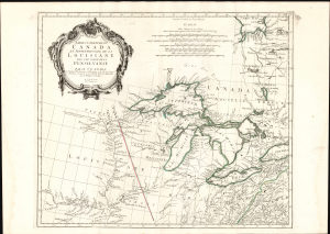
Partie Occidentale du Canada et Septentrionale de la Louisiane avec une partie de Pensilvanie.
sold
- Digital Map Information
- Suitable for large format printing
- Full resolution TIFF file
- ICC color profile embedded
- Delivered instantly via download link
This is Paolo Santini's 1775 map of the western part of Canada, the Upper Mississippi, and the Great Lakes Region. Produced to satisfy European interest in the American Revolutionary War (1775 - 1783), it drew on D'Anville's map, the best French mapping of the region produced during the French and Indian War (1754 - 1763). (more details)
One the eve of the American Revolution.
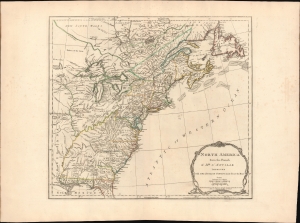
North America from the French of Mr. D'Anville improved with The English Surveys made since the Peace.
sold
- Digital Map Information
- Suitable for large format printing
- File Size: 26.39 MB
- File Type: ZIP / TIFF
- ICC color profile embedded
- Delivered instantly via download link
This is the 1775 Sayer and Bennett edition of Thomas Jefferys' map of the British Colonies in America, published on the eve of the American Revolutionary War (1775 - 1783). When this map was issued in June 1775, the Battles of Lexington and Concord had already occurred, and a formal Declaration of War from the Continental Congress was imminent. (more details)
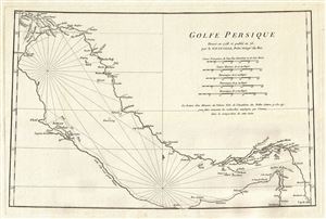
Golfe Persique dresse en 1758 et publie en 76, par le Sr. d'Anville, Prem. Geogr. du Roi.
sold
- Digital Map Information
- Suitable for large format printing
- DPI: 300
- File Size: 6.43 MB
- File Type: ZIP / TIFF
- ICC color profile embedded
- Delivered instantly via download link
A scarce 1776 map of the Persian Gulf by Jean Baptiste Bourguignon d'Anville. Essentially a nautical chart, this map covers from Basrah to the Straits of Hormuz. D'Anville prepared this map in 1758 to ... (more details)
Early speculative nautical chart of the Persian Gulf.
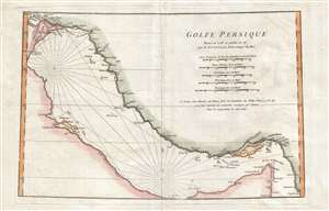
Golfe Persique.
sold
- Digital Map Information
- Suitable for large format printing
- Full resolution TIFF file
- ICC color profile embedded
- Delivered instantly via download link
A scarce 1776 map of the Persian Gulf by Jean Baptiste Bourguignon d'Anville. Essentially a nautical chart, this map covers from Basrah to the Straits of Hormuz. D'Anville prepared this map in 1758 to ... (more details)
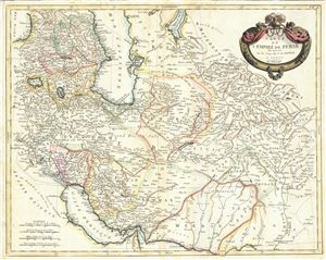
Carte de l'Empire de Perse.
sold
- Digital Map Information
- Suitable for large format printing
- DPI: 300
- File Size: 16.39 MB
- File Type: ZIP / TIFF
- ICC color profile embedded
- Delivered instantly via download link
This is a beautiful example of Paolo Santini's 1779 map of Persia. It covers the Persian Empire from the Black Sea south as far as the Persian Gulf and east as far as Kashmir and Punjab in India, ... (more details)
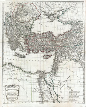
Orbis Romani, pars orientalis. Auspiciis Serenissimi Principis Ludovici Philippi, Aurelianorum Ducis publici juris facta. Auctor d'Anville, Regiae Humaniorium Litterarum Academiae, et Scientiarum Petropolitanae Socius, Celsitudinique Serenissimae a Secretis. MDCCLXXXII.
sold
- Digital Map Information
- Suitable for large format printing
- DPI: 300
- File Size: 30.82 MB
- File Type: ZIP / TIFF
- ICC color profile embedded
- Delivered instantly via download link
This is the stunning eastern sheet from Jean Baptiste Bourguignon D'Anville's two map set depicting the Roman Empire. Depicts the eastern portion of the Mediterranean inclusive of Greece and ... (more details)
First edition to name the United States.
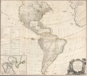
A New Map of the Whole Continent of America, divided into North and South and West Indies, wherein are exactly Described the United States of North America as well as the Several European Possessions according to the Preliminaries of the Peace singed at Versailles Jan. 20 1783.
sold
- Digital Map Information
- Suitable for large format printing
- DPI: 600
- File Size: 97.78 MB
- File Type: ZIP / TIFF
- ICC color profile embedded
- Delivered instantly via download link
A scarce 1783 Sayer and Bennett wall map of America issued shortly after the American Revolutionary War (1775 - 1783). This map followed closely on the Treaty of Versailles, which ended the Revolutionary War and established British recognition of the independent United States. This is the first issue of this map to name the United States - here, including all territory north of Florida, South of the Great Lakes (except Michigan), and east of the Mississippi. (more details)
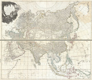
Asia and its Islands According to d'Anville; Divided into Empires, Kingdoms, States, Regions, &ca. with the European possessions and settlements in the East Indies and an exact delineation of all the discoveries made in the eastern parts by the English under Captn. Cook.
sold
- Digital Map Information
- Suitable for large format printing
- DPI: 300
- File Size: 67.68 MB
- File Type: ZIP / TIFF
- ICC color profile embedded
- Delivered instantly via download link
An absolutely stunning and monumental two panel 1794 wall map of Asia by J. B. B. D'Anville. Covers the entire continent of Asia, including Arabia, the Indian subcontinent, and the East ... (more details)
Superb 18th century mapping of an area largely unknown to Europeans.
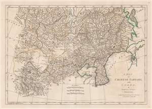
A Map of Chinese Tartary, with Corea.
sold
- Digital Map Information
- Suitable for large format printing
- Full resolution TIFF file
- ICC color profile embedded
- Delivered instantly via download link
This is an uncommon 1786 Samuel Dunn map of Korea, Manchuria, Hokkaido, Mongolia, and Chinese Tartary. Coverage extends from Tibet and Independent Tartary to Sakhalin, Hokkaido, and Japan. It extends south roughly as far as China's eastern Shandong Province. Korea exhibits a distinctly square base, and, as with much of this map, is consistent with the innovative cartography of J. B. B. D'Anville, one of the preeminent mapmakers of the period. The sea between Japan and Korea, alternately called the Sea of Korea or the Sea of Japan, depending on the mapmaker, is here settled in favor of Korea. The great wall is noted. (more details)
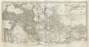
Erster Theil der Karte von Asien welche die Turkei, Arabien, Persien Indien diesseits des Ganges und einen Theil der Tatarei enthalt.
sold
- Digital Map Information
- Suitable for large format printing
- DPI: 300
- File Size: 25.39 MB
- File Type: ZIP / TIFF
- ICC color profile embedded
- Delivered instantly via download link
This is a highly detailed 1786 map of Persia and Arabia by the Austrian cartographer F. A. Scharembl. Representing the upper sheet of a larger map covering India, Persia and Arabia, ... (more details)
Monumental map of Arabia, Persia and India based on D'Anville.
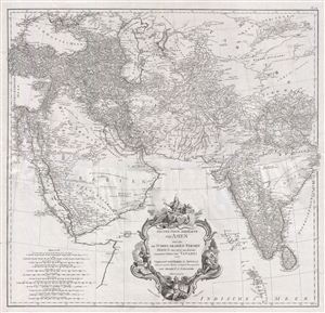
Erster Theil der Karte von Asien welche die Türkei, Arabien, Persien Indien diesseits des Ganges und einen Theil der Tatarei enthält.
sold
- Digital Map Information
- Suitable for large format printing
- DPI: 300
- File Size: 37.9 MB
- File Type: ZIP / TIFF
- ICC color profile embedded
- Delivered instantly via download link
A monumental and highly detailed 1786 map of India, Persia, and Arabia by the Austrian cartographer F. A. Scharembl. Centered on Persia, this map covers from Istanbul to eastern ... (more details)
From the best sources.
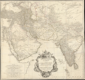
Erster Theil der Karte von Asien welche die Türkei, Arabien, Persien Indien diesseits des Ganges und einen Theil der Tatarei enthält.
sold
- Digital Map Information
- Suitable for large format printing
- DPI: 600
- File Size: 1087.81 MB
- File Type: ZIP / TIFF
- ICC color profile embedded
- Delivered instantly via download link
A striking 1786 separate-issue F. A. Schrämbl map of India, Persia, and Arabia. It is based upon the best cartographic sources of the era and was engraved for one of the first Austrian world atlases, Schrämbl's Allgemeiner Grosser Atlas. The present example is a separate issue likely predating the 1800 publication of the atlas. (more details)
British Foothold in the African Slave Trade.
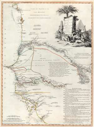
The Western Coast of Africa from Cape Blanco to Cape Vigo, Exhibiting Senegambia Proper by T. Jefferys, Geographer to His Majesty.
sold
- Digital Map Information
- Suitable for large format printing
- DPI: 600
- File Size: 29.76 MB
- File Type: ZIP / TIFF
- ICC color profile embedded
- Delivered instantly via download link
This is a beautiful example of Robert Sayer's 1789 map of western coastal Africa. It is focused on Senegal, but includes parts of modern Mauritania, Mali, Guinea-Bissau, and Guinea. It reaches from as far north as Cap Blanco and the Arguin Banks to the mouth of the Rio Nuñez and Cap Virgo in the south. The map traces the course of the Senegal River as far east as the Felou Rocks, present site of the Félou Hydroelectric Plant in Mali. (more details)