
Lapie, Pierre M. (sold) (Alexandre Emile Lapie)

Pierre M. Lapie (fl. 1779 - 1850) and his son Alexandre Emile Lapie (fl. 1809 - 1850) were French cartographers and engravers active in the early part of the 19th century. The Lapies were commissioned officers in the French army holding the ranks of Colonel and Capitan, respectively. Alexander enjoyed the title of "First Geographer to the King", and this title appears on several of his atlases. Both father and son were exceptional engravers and fastidious cartographers. Working separately and jointly they published four important atlases, an 1811 Atlas of the French Empire (Alexander), the 1812 Atlas Classique et Universel (Pierre), the Atlas Universel de Geographie Ancienne et Modern (joint issue), and the 1848 Atlas Militaire (Alexander). They also issued many smaller maps and independent issues. All of these are products of exceptional beauty and detail. Despite producing many beautiful maps and atlases, the work of the Lapie family remains largely underappreciated by most modern collectors and map historians. The later 19th century cartographer A. H. Dufour claimed to be a student of Lapie, though it is unclear if he was referring to the father or the son. The work of the Lapie firm, with its precise engraving and informational density, strongly influenced the mid-19th century German commercial map publishers whose maps would eventually dominate the continental market.
AKA: Alexandre Emile Lapie
Ephemeral mapping of North America immediately followng the Louisiana Purchase.
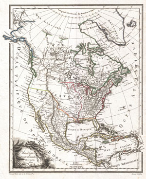
Amerique Septentrionale.
sold
- Digital Map Information
- Suitable for large format printing
- DPI: 300
- File Size: 4.37 MB
- File Type: ZIP / TIFF
- ICC color profile embedded
- Delivered instantly via download link
A highly uncommon and desirable 1810 map of North America by the French cartographer Ambrose Tardieu. Depicts all of North America including Canada, Mexico the United States at a formative but ephemeral period shortly following the U.S. acquisition of Louisiana ... (more details)
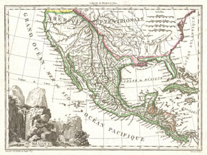
Mexique.
sold
- Digital Map Information
- Suitable for large format printing
- Full resolution TIFF file
- ICC color profile embedded
- Delivered instantly via download link
This is an unusual 1810 map of Mexico and the United States by the French cartographer J. B. Tardieu. Depicts all of Mexico and much of the United States shortly following the acquisition of Louisiana but prior to the acquisition of Florida, Texas and Upper ... (more details)
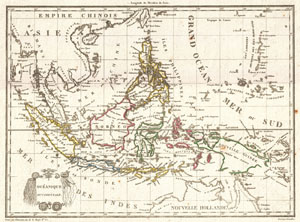
Oceanique Occidentale.
sold
- Digital Map Information
- Suitable for large format printing
- DPI: 300
- File Size: 3.65 MB
- File Type: ZIP / TIFF
- ICC color profile embedded
- Delivered instantly via download link
A highly desirable c. 1810 mapping of Southeast Asia and the East Indies by the French cartographer Ambrose Tardieu. Covers from Burma to Australia and from Sumatra to New Guinea. Includes Siam (Thailand), Cambodia (Cambodge), Vietnam (Tonquin and ... (more details)
Map prepared for Napoleon's catastrophic invasion of Russia.
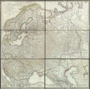
Carte de la Russie d'Europe, avec l'Empire d'Autriche, la Suede, le Danemark et la Norwege, la Prusse, le Grand Duche de Varsovie, les provinces Illyriennes, et une partie de la Confederation du Rhin et de la Turquie d'Europe.
sold
- Digital Map Information
- Suitable for large format printing
- DPI: 300
- File Size: 135.89 MB
- File Type: ZIP / TIFF
- ICC color profile embedded
- Delivered instantly via download link
This extraordinary six-sheet 1812 wall map of Russia was prepared by Pierre M. Lapie and Pierre Antoine-François Tardieu in anticipation of Napoleon's catastrophic 1812 French Invasion of Russia. Centered on Moscow (Moscau), the map depicts ... (more details)
A call for brotherhood against the hated English.
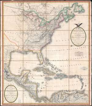
A Map of the United States and Canada, New-Scotland, New-Brunswick and New-Foundland. / Carte des Etats-Unis, avec le Canada, La Nouvelle Ecosse, Le Nouveau Brunswick et Terre-Neuve. / A Map of the West-Indies and of the Mexican-Gulph. / Carte des Indies Occidental et du Golfe du Méxique.
sold
- Digital Map Information
- Suitable for large format printing
- Full resolution TIFF file
- ICC color profile embedded
- Delivered instantly via download link
A lavish, large-scale French map of the United States and West Indies issued in September of 1812 - shortly after the outbreak of the War of 1812 (1812 - 1815). This is one of the few major French cartographic productions not focused on Europe to appear during the Napoleonic Wars (1803 - 1815) and needs to be addressed in this context to be fully understood. With titles both in English and French, it calls for brotherhood and alliance against the hated English. (more details)
Napoleonic map of South America during the Wars of Independence.

A Map of South America. / Carte de L'Amérique Méridionale.
sold
- Digital Map Information
- Suitable for large format printing
- Full resolution TIFF file
- ICC color profile embedded
- Delivered instantly via download link
A striking and expansive two-section 1814 case map of South America issued by Pierre Lapie. The map captures South America at the height of the Spanish American Wars of Independence (1808 - 1833), a heady and violent period that reshaped the continent's political geography. (more details)
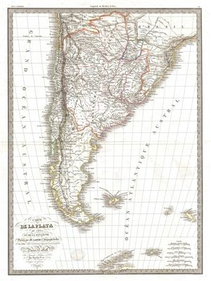
Carte de la Plata de Chili et de la Patagonie.
sold
- Digital Map Information
- Suitable for large format printing
- DPI: 300
- File Size: 9.11 MB
- File Type: ZIP / TIFF
- ICC color profile embedded
- Delivered instantly via download link
A fine first edition example of M. Lapie's 1829 map of the plate of Chile and Patagonia. Centered on the United Provinces of La Plata, the map covers all of Chile, Patagonia, Paraguay and parts of Brazil and Upper Peru. It also shows the ... (more details)
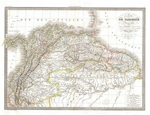
Carte de Colombie et des Guyanes.
sold
- Digital Map Information
- Suitable for large format printing
- DPI: 300
- File Size: 12.82 MB
- File Type: ZIP / TIFF
- ICC color profile embedded
- Delivered instantly via download link
A fine first edition example of M. Lapie's 1828 map of Colombia and Guyana. The map covers all of Colombia from the Caribbean Sea in the north to Peru and the Brazil in the south. Lapie's map offers fine detail throughout with elevation ... (more details)
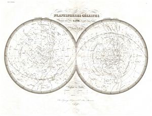
Planispheres Celestes.
sold
- Digital Map Information
- Suitable for large format printing
- DPI: 300
- File Size: 6.56 MB
- File Type: ZIP / TIFF
- ICC color profile embedded
- Delivered instantly via download link
A fine first edition example of M. Lapie's 1828 chart or map of the stars and constellations. This beautifully engraved map consists of two hemispheres detailing the starts of the Northern (left) and Southern (right) Hemispheres. ... (more details)
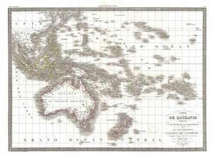
Carte de L'Oceanie contenant L'Australie, La Polynesie et Les Iles Asiatiques.
sold
- Digital Map Information
- Suitable for large format printing
- DPI: 300
- File Size: 10.22 MB
- File Type: ZIP / TIFF
- ICC color profile embedded
- Delivered instantly via download link
A fine first edition example of M. Lapie's 1830 map of Australia, New Zealand, Polynesia, and the east India Islands. This map covers from Southeast Asia eastward as far as the remote Polynesian islands of elisabeth and Henderson, ... (more details)
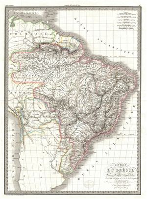
Carte du Bresil.
sold
- Digital Map Information
- Suitable for large format printing
- DPI: 300
- File Size: 11.63 MB
- File Type: ZIP / TIFF
- ICC color profile embedded
- Delivered instantly via download link
A fine first edition example of M. Lapie's 1829 map of Brazil. The map shows all of Brazil from Colombia to the Atlantic Ocean as well as adjacent parts of Chile, Peru, the Caribbean Sea and the Atlantic Ocean. Issued shortly ... (more details)
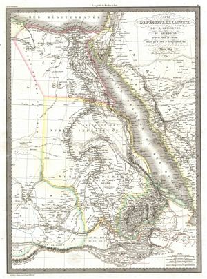
Carte de l'Egypte de la Nubie, de l'Abissinie, du Kourdofan.
sold
- Digital Map Information
- Suitable for large format printing
- DPI: 300
- File Size: 11.32 MB
- File Type: ZIP / TIFF
- ICC color profile embedded
- Delivered instantly via download link
A fine first edition example of M. Lapie's 1829 map of egypt. The map covers the lower Nile valley including egypt and Nubia, as well as the adjacent Arabian Gulf or Red Sea, Mediterranean Sea, Arabia, Kordofan, Sudan, ... (more details)
Reveals Greece after throwing off the Ottoman yolk.
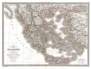
Carte de la Grece, et de L'Archipel.
sold
- Digital Map Information
- Suitable for large format printing
- DPI: 300
- File Size: 13.75 MB
- File Type: ZIP / TIFF
- ICC color profile embedded
- Delivered instantly via download link
A fine first edition example of M. Lapie's 1829 map of Greece and the Balkands. The map covers Greece from and the Balkans from Romania to Crete (Candia) and from Asia Minor to the Ionian Sea. It includes Greece, ... (more details)
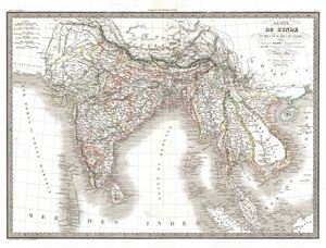
Catre de l'Inde en Deca et au Dela du Gange.
sold
- Digital Map Information
- Suitable for large format printing
- DPI: 300
- File Size: 13.58 MB
- File Type: ZIP / TIFF
- ICC color profile embedded
- Delivered instantly via download link
A fine first edition example of M. Lapie's 1829 map of India and Southeast Asia. The map covers all of what was once known as Greater and Lesser India, that is to say, all of modern India, Ceylon or Sri Lanka, ... (more details)
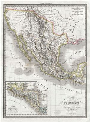
Carte des Etats-Unis du Mexique.
sold
- Digital Map Information
- Suitable for large format printing
- DPI: 300
- File Size: 16.03 MB
- File Type: ZIP / TIFF
- ICC color profile embedded
- Delivered instantly via download link
A beautiful but little known 1829 first edition map of Mexico and its pre-1849 North American claims in Upper California and Texas by Emile Lapie. The map covers all of Mexico from Cape San Sebastian and the ... (more details)
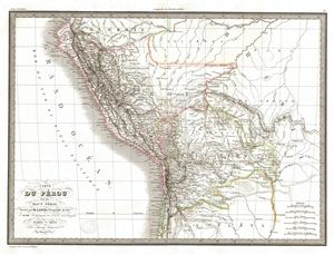
Carte du Perou et du Haut Perou.
sold
- Digital Map Information
- Suitable for large format printing
- DPI: 300
- File Size: 10.69 MB
- File Type: ZIP / TIFF
- ICC color profile embedded
- Delivered instantly via download link
A fine first edition example of M. Lapie's 1829 map of Peru, ecuador, and Bolivia. The map shows all of Peru and Upper Peru (modern day Bolivia) from the Pacific Ocean to Brazil and from Colombia to ... (more details)
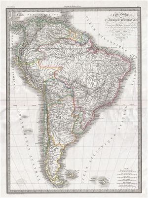
Carte generale de l'Amerique Meridionale.
sold
- Digital Map Information
- Suitable for large format printing
- DPI: 300
- File Size: 13.52 MB
- File Type: ZIP / TIFF
- ICC color profile embedded
- Delivered instantly via download link
A fine first edition example of M. Lapie's 1829 general map of South America. The map covers entire South America from the Pacific Ocean to the Atlantic Ocean. It shows Colombia, Brazil, Peru, Upper ... (more details)
Map revealing the last days of the Barbary Corsairs.
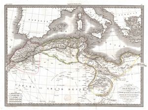
Carte de la Barbarie contenant L'Empire de Maroc et Les Regences D'Alger, De Tunis et de Tripoli.
sold
- Digital Map Information
- Suitable for large format printing
- DPI: 300
- File Size: 12.2 MB
- File Type: ZIP / TIFF
- ICC color profile embedded
- Delivered instantly via download link
A fine first edition example of M. Lapie's 1830 map of the Barbary Coast. This map covers western Mediterranean Coast of Africa from Morocco to Benghazi, including modern day Morocco, Algeria, ... (more details)
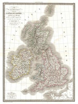
Carte de isle Britanniques comprenant l'Angleterre l'Ecosse et l'Irlande.
sold
- Digital Map Information
- Suitable for large format printing
- DPI: 300
- File Size: 12.64 MB
- File Type: ZIP / TIFF
- ICC color profile embedded
- Delivered instantly via download link
A fine first edition example of M. Lapie's 1829 map of the British Isles, including england, Scotland and Ireland. The Map covers the countries of the United Kingdom from the Shetland Islands ... (more details)
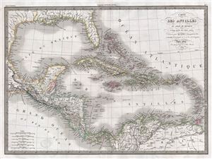
Carte des Antilles du Golfe due Mexique et d'une partie des Etates voisins.
sold
- Digital Map Information
- Suitable for large format printing
- DPI: 300
- File Size: 14.15 MB
- File Type: ZIP / TIFF
- ICC color profile embedded
- Delivered instantly via download link
A fine first edition example of M. Lapie's 1829 map of the West Indies. This map covers from the Gulf of Mexico to the Lesser Antilles and from Florida and the Bahamas to the Spanish Main, ... (more details)
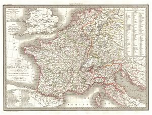
Carte Comparee de la France en 1789 et 1813.
sold
- Digital Map Information
- Suitable for large format printing
- DPI: 300
- File Size: 13.66 MB
- File Type: ZIP / TIFF
- ICC color profile embedded
- Delivered instantly via download link
A fine first edition example of M. Lapie's 1830 comparative map of France in 1789 and 1813. Marking a period of historical significance, this map depicts the French empire both before and ... (more details)
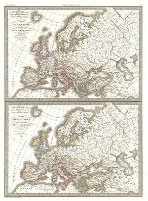
Carte de l'Europe avant l'invasion des Barbares vers l'an 350. Carte de l'Europe apres l'invasion des Barbares vers la fin du 5e siecle.
sold
- Digital Map Information
- Suitable for large format printing
- DPI: 300
- File Size: 12.33 MB
- File Type: ZIP / TIFF
- ICC color profile embedded
- Delivered instantly via download link
A fine first edition example of M. Lapie's map depicting europe before and after the so-called Barbarian Invasions, which saw the western Roman empire fall to Goths, Visigoths, and ... (more details)
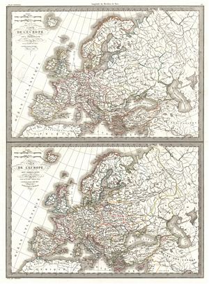
Carte de l'Europe sous Charlemagne vers l'an 800. Carte de l'Europe sous Charles-Quint vers l'an 1500.
sold
- Digital Map Information
- Suitable for large format printing
- DPI: 300
- File Size: 14.17 MB
- File Type: ZIP / TIFF
- ICC color profile embedded
- Delivered instantly via download link
A fine first edition example of M. Lapie's map contrasting europe under Charlemagne in 800 versus europe under Charles V in 1500. The map is divided into two parts, with the upper ... (more details)
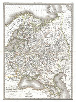
Carte de la Russie d'Europe.
sold
- Digital Map Information
- Suitable for large format printing
- DPI: 300
- File Size: 13.41 MB
- File Type: ZIP / TIFF
- ICC color profile embedded
- Delivered instantly via download link
A fine first edition example of M. Lapie's 1830 map of european Russia. The map covers Russia from the Arctic Ocean to Turkey and from the Kingdom of Sweden to Independent Tartary ... (more details)
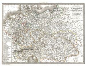
Carte d'Allemagne comprenant la Confederation Germanique l'Empire d'Autriche le Royaume de Prusse et le Royaume de Pologne.
sold
- Digital Map Information
- Suitable for large format printing
- DPI: 300
- File Size: 14.13 MB
- File Type: ZIP / TIFF
- ICC color profile embedded
- Delivered instantly via download link
A fine first edition example of M. Lapie's 1831 map of Germany including the Germanic Confederation, the Austrian empire, the Kingdom of Prussia and the Kingdom of Poland. The map ... (more details)
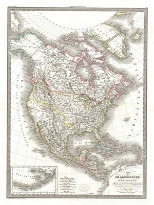
Carte de l'Amerique Septentrionale.
sold
- Digital Map Information
- Suitable for large format printing
- DPI: 300
- File Size: 14.09 MB
- File Type: ZIP / TIFF
- ICC color profile embedded
- Delivered instantly via download link
A fine first edition example of M. Lapie's 1830 map of North America. The map covers the entire North American continent from the North Pole and Arctic Ocean to Panama and from the ... (more details)
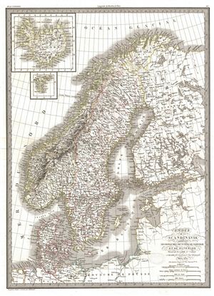
Carte de la Scandinavie comprenant Les Royaumes de Suede de Norwege et de Danemark.
sold
- Digital Map Information
- Suitable for large format printing
- Full resolution TIFF file
- ICC color profile embedded
- Delivered instantly via download link
A fine first edition example of M. Lapie's 1830 map of Scandinavia. Centered on the Kingdom of Sweden, this map covers all of Scandinavia, from the Arctic Ocean to Denmark and ... (more details)
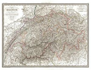
Carte de la Suisse ou Helvetie.
sold
- Digital Map Information
- Suitable for large format printing
- DPI: 300
- File Size: 16.85 MB
- File Type: ZIP / TIFF
- ICC color profile embedded
- Delivered instantly via download link
A fine first edition example of M. Lapie's 1830 map of Switzerland. Centered on the country of Switzerland, this map also includes parts of adjacent France, Germany, and ... (more details)
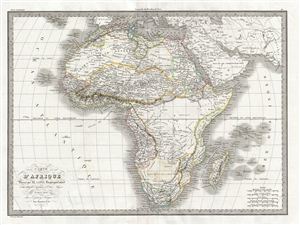
Carte d'Afrique.
sold
- Digital Map Information
- Suitable for large format printing
- DPI: 300
- File Size: 13.26 MB
- File Type: ZIP / TIFF
- ICC color profile embedded
- Delivered instantly via download link
A fine first edition example of M. Lapie's 1831 map of Africa. Medieval maps had long depicted kingdoms throughout Africa, often represented as icons accompanied by ... (more details)
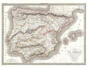
Carte de l'Iberie ou Espagne Ancienne.
sold
- Digital Map Information
- Suitable for large format printing
- DPI: 300
- File Size: 12.86 MB
- File Type: ZIP / TIFF
- ICC color profile embedded
- Delivered instantly via download link
A fine first edition example of M. Lapie's 1831 map of ancient Iberia or modern day Spain and Portugal. The map covers all of Iberia under the Roman Republic from ... (more details)
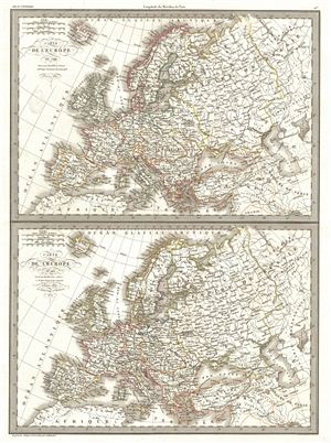
Carte de l'Europe en 1789. Carte de l'Europe en 1813.
sold
- Digital Map Information
- Suitable for large format printing
- DPI: 300
- File Size: 13.29 MB
- File Type: ZIP / TIFF
- ICC color profile embedded
- Delivered instantly via download link
A fine first edition example of M. Lapie's maps of europe in 1789 and 1813. The sheet is divided into two parts: the upper half maps europe on the eve of the 1789 ... (more details)
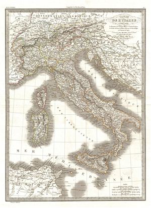
Carte de l'Italie comprenant Les Royaumes de Sardaigne, d'Illyrie et Lombard Venitien, les Duches de Parme, de Modene, de Toscane, les Etats de l'Eglise et le Royaume de Naples.
sold
- Digital Map Information
- Suitable for large format printing
- DPI: 300
- File Size: 12.33 MB
- File Type: ZIP / TIFF
- ICC color profile embedded
- Delivered instantly via download link
A fine first edition example of M. Lapie's 1831 map of Italy. This map covers all of Italy, inclusive of Sardinia, Corsica, Sicily, Malta, the Dalmatian Coast, and ... (more details)
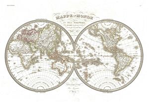
Mappe-Monde en deux Hemispheres.
sold
- Digital Map Information
- Suitable for large format printing
- Full resolution TIFF file
- ICC color profile embedded
- Delivered instantly via download link
A fine first edition example of M. Lapie's 1831 map of the world in two hemispheres. Lapie's map offers fine detail throughout with elevation rendered by hachure ... (more details)
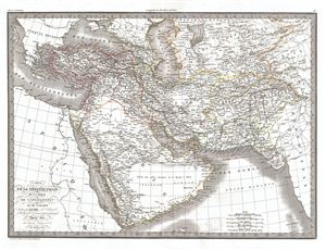
Carte de la Turquie d'Asie de la Perse de l'Afghanistan et de l'Arabie.
sold
- Digital Map Information
- Suitable for large format printing
- DPI: 300
- File Size: 13.13 MB
- File Type: ZIP / TIFF
- ICC color profile embedded
- Delivered instantly via download link
A fine first edition example of M. Lapie's 1831 map of Turkey in Asia. Detailing the declining years of the Ottoman empire, this map includes all of Arabia, ... (more details)
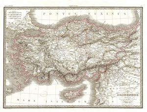
Carte de L'Asie Mineure Ancienne.
sold
- Digital Map Information
- Suitable for large format printing
- DPI: 300
- File Size: 13.56 MB
- File Type: ZIP / TIFF
- ICC color profile embedded
- Delivered instantly via download link
A fine first edition example of M. Lapie's 1830 map of Asia Minor in Antiquity. This map covers from the Aegean Sea to Mesopotamia and from the Black Sea ... (more details)
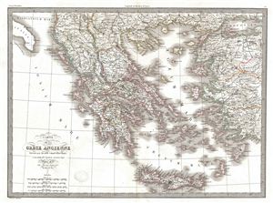
Carte de la Grece Ancienne.
sold
- Digital Map Information
- Suitable for large format printing
- DPI: 300
- File Size: 12.41 MB
- File Type: ZIP / TIFF
- ICC color profile embedded
- Delivered instantly via download link
A fine first edition example of M. Lapie's 1832 map of Ancient Greece. The map focuses on the Greece under the Roman empire, covering from the Ionian Sea ... (more details)
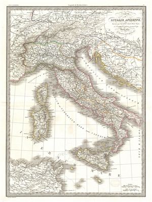
Catre de l'Italie Ancienne.
sold
- Digital Map Information
- Suitable for large format printing
- DPI: 300
- File Size: 11.21 MB
- File Type: ZIP / TIFF
- ICC color profile embedded
- Delivered instantly via download link
A fine first edition example of M. Lapie's 1829 map of Italy during ancient Roman times. The map covers all of Italy in the days of the Roman empire from ... (more details)
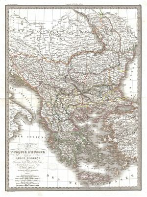
Carte de la Turquie d'Europe et de la Grece Moderne.
sold
- Digital Map Information
- Suitable for large format printing
- DPI: 300
- File Size: 13.38 MB
- File Type: ZIP / TIFF
- ICC color profile embedded
- Delivered instantly via download link
A fine first edition example of M. Lapie's 1829 map of Greece, the Balkans, and the eruopean Part of Turkey. The map covers Turkey and Greece from the ... (more details)
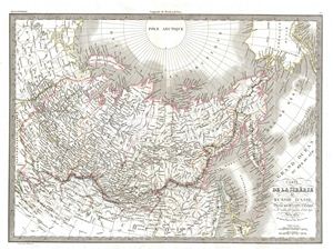
Carte de la Siberie ou Russie d'Asie.
sold
- Digital Map Information
- Suitable for large format printing
- DPI: 300
- File Size: 14.2 MB
- File Type: ZIP / TIFF
- ICC color profile embedded
- Delivered instantly via download link
A fine first edition example of M. Lapie's 1832 map of Russia in Asia. The map Asian Russia from the Arctic Pole to China and from european Russia to, ... (more details)
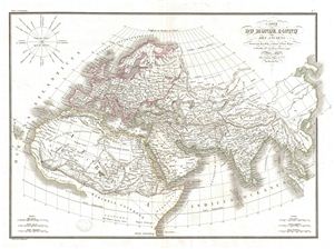
Carte du Monde Connu des Anciens.
sold
- Digital Map Information
- Suitable for large format printing
- DPI: 300
- File Size: 10.29 MB
- File Type: ZIP / TIFF
- ICC color profile embedded
- Delivered instantly via download link
A fine first edition example of M. Lapie's 1832 map of The Ancient World, including Asia, europe and Africa. The map shows the Ancient World from the ... (more details)
Identifies both the Sea of Korea and the Sea of japan.
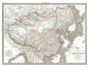
Carte de l'Empire Chinois et du Japon.
sold
- Digital Map Information
- Suitable for large format printing
- DPI: 300
- File Size: 13.64 MB
- File Type: ZIP / TIFF
- ICC color profile embedded
- Delivered instantly via download link
A fine first edition example of M. Lapie's 1832 map of the Chinese empire and Japan. The map covers all of China, Korea, and Japan from Asiatic Russia ... (more details)
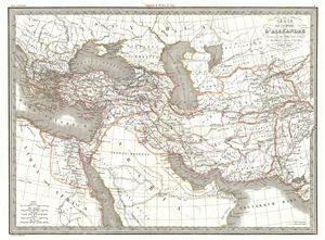
Carte de l'Empire d'Alexandre.
sold
- Digital Map Information
- Suitable for large format printing
- DPI: 300
- File Size: 11.46 MB
- File Type: ZIP / TIFF
- ICC color profile embedded
- Delivered instantly via download link
A fine first edition example of M. Lapie's 1832 map of the conquests of Alexander the Great. The map covers from Alexander's homeland in Macedonia ... (more details)
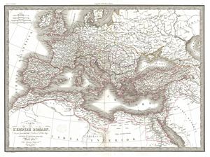
Carte de l'Empire Romain.
sold
- Digital Map Information
- Suitable for large format printing
- DPI: 300
- File Size: 13.36 MB
- File Type: ZIP / TIFF
- ICC color profile embedded
- Delivered instantly via download link
A fine first edition example of M. Lapie's 1832 map of The Roman empire. The map shows the extent of the Roman empire at its height, and covers ... (more details)
Important but little known map of the United States from the era of the Mountain Men.
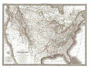
Carte des Etats-Unis d'Amerique du Canada, du Nouveau Brunswick de la Nouvelle Bretagne.
sold
- Digital Map Information
- Suitable for large format printing
- DPI: 300
- File Size: 14.33 MB
- File Type: ZIP / TIFF
- ICC color profile embedded
- Delivered instantly via download link
A significant though little known 1832 map of the United States, this is the first edition of M. Lapie's 1832 map of the United States. Lapie's ... (more details)
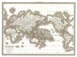
Mappe-Monde sur la Projection de Mercator.
sold
- Digital Map Information
- Suitable for large format printing
- DPI: 300
- File Size: 10.97 MB
- File Type: ZIP / TIFF
- ICC color profile embedded
- Delivered instantly via download link
A fine first edition example of M. Lapie's 1831 map of the world on a Mercator projection. Lapie's map offers fine detail throughout with ... (more details)
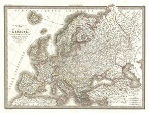
Carte de l'Europe.
sold
- Digital Map Information
- Suitable for large format printing
- DPI: 300
- File Size: 15.28 MB
- File Type: ZIP / TIFF
- ICC color profile embedded
- Delivered instantly via download link
A fine first edition example of M. Lapie's 1833 map of europe. The map covers all of europe from the Atlantic Ocean to the eastern edges ... (more details)
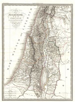
Carte de la Palestine ou Terre Sainte.
sold
- Digital Map Information
- Suitable for large format printing
- DPI: 300
- File Size: 11.25 MB
- File Type: ZIP / TIFF
- ICC color profile embedded
- Delivered instantly via download link
A fine first edition example of M. Lapie's 1829 map of the Israel, the Holy Land, or Palestine. This beautifully engraved map covers ... (more details)
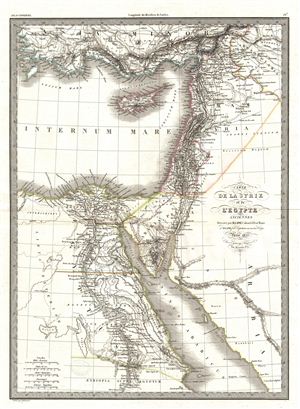
Carte de la Syrie et de l'Egypte.
sold
- Digital Map Information
- Suitable for large format printing
- DPI: 300
- File Size: 10.15 MB
- File Type: ZIP / TIFF
- ICC color profile embedded
- Delivered instantly via download link
A fine first edition example of M. Lapie's 1833 map of Syria and Ancient egypt. The map covers all of Syria and egypt from Asia ... (more details)

Systemes Planetaires.
sold
- Digital Map Information
- Suitable for large format printing
- Full resolution TIFF file
- ICC color profile embedded
- Delivered instantly via download link
A fine first edition example of M. Lapie's 1829 chart of the planetary systems. This beautifully engraved chart consists of ... (more details)
An Early Map to Show French Recognition of the Republic of Texas
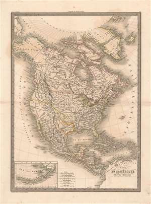
Carte de l'Amerique Septentrionale.
sold
- Digital Map Information
- Suitable for large format printing
- DPI: 600
- File Size: 29.07 MB
- File Type: ZIP / TIFF
- ICC color profile embedded
- Delivered instantly via download link
A fine example of M. Lapie’s 1838 map of North America. The map covers the entire North American continent and Greenland, embracing the Caribbean. An inset in the lower left corner details the Bering Sea and the Aleutian Islands. This map was engraved by Armand Joseph Lallemand as plate no. 42 in the first edition of M. Lapie’s important Atlas Universel, and it was retained in later editions with minor updates. The original hand color this example conforms to that of the 1838 edition, which is of significance because it is with color that the mapmaker illuminates the political borders on the map, particularly that of the Republic of Texas. (more details)