
NEW ACQUISITIONS
Keeping Time in Yokohama.
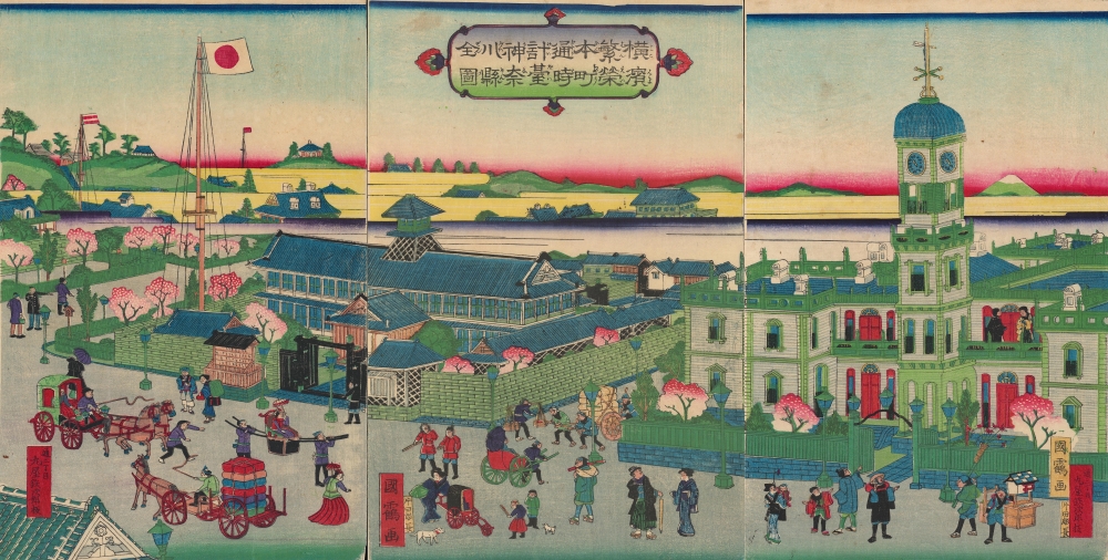
橫濱繁榮本町通時計臺神奈川縣全圖 / [Complete View of the Clock Tower in Yokohama's Flourishing Neighborhood of Honcho, Kanagawa Prefecture].
$2,500.00
Acquire
- Digital Map Information
- Suitable for large format printing
- Full resolution TIFF file
- ICC color profile embedded
- Delivered instantly via download link
A scarce and brightly-colored ukiyo-e 1874 woodblock triptych by Utagawa Kunitsuru depicting Yokohama's town hall (横浜町会所), constructed in 1874 (Meiji 7), one of many new marvels depicted in Yokohama-e prints of the era. Bridging past and present, Kunitsuru employed established nishiki-e conventions but added relatively new, vibrant pink, yellow, and purple aniline inks, most imported from Europe, that eventually became distinctive of Meiji-era woodblock prints. (more details)
Shanghai at the moment of the Shanghai Ceasefire Agreement in which the city became a demilitarized zone.
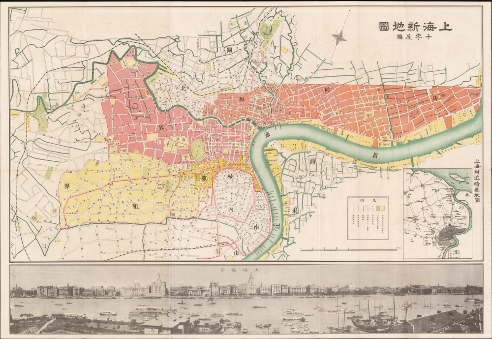
Shanghai New Map. / 上海新地圖
$1,900.00
Acquire
- Digital Map Information
- Suitable for large format printing
- Full resolution TIFF file
- ICC color profile embedded
- Delivered instantly via download link
A scarce March 5, 1932, map of Shanghai, China, issued by Osaka-based Cross-House publishing firm. The map was issued to illustrate the Shanghai Ceasefire Agreement (淞沪停战协定), a peace treaty between China and Japan that made Shanghai a demilitarized zone. It follows the January 28 Incident, also known as the Shanghai Incident (January 28 - March 3, 1932), a conflict in the Shanghai International Settlement between the Republic of China and the Empire of Japan. (more details)
Patriotic Schoolboy.
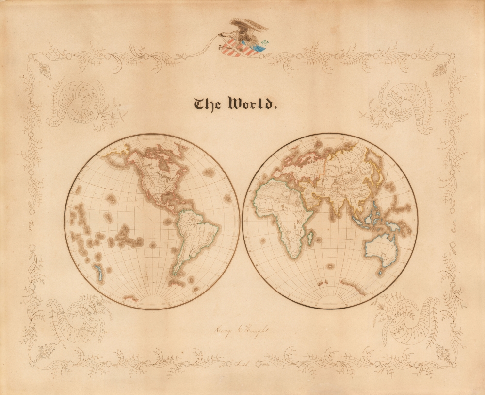
The World. George A. Knight.
$1,900.00
Acquire
- Digital Map Information
- Suitable for large format printing
- File Size: 20.81 MB
- File Type: ZIP / TIFF
- ICC color profile embedded
- Delivered instantly via download link
A very attractive c. 1865 patriotic manuscript schoolboy map of the world executed by George A. Knight, in or about 1865. The map covers the world on a double-hemisphere projection, with geographical features corresponding very closely to the separate maps of the Eastern and Western Hemispheres printed in Mitchell's Intermediate Atlas, specifically, the 1865 editions. (more details)
Ephemeral trolley from New Bedford to Fall River.
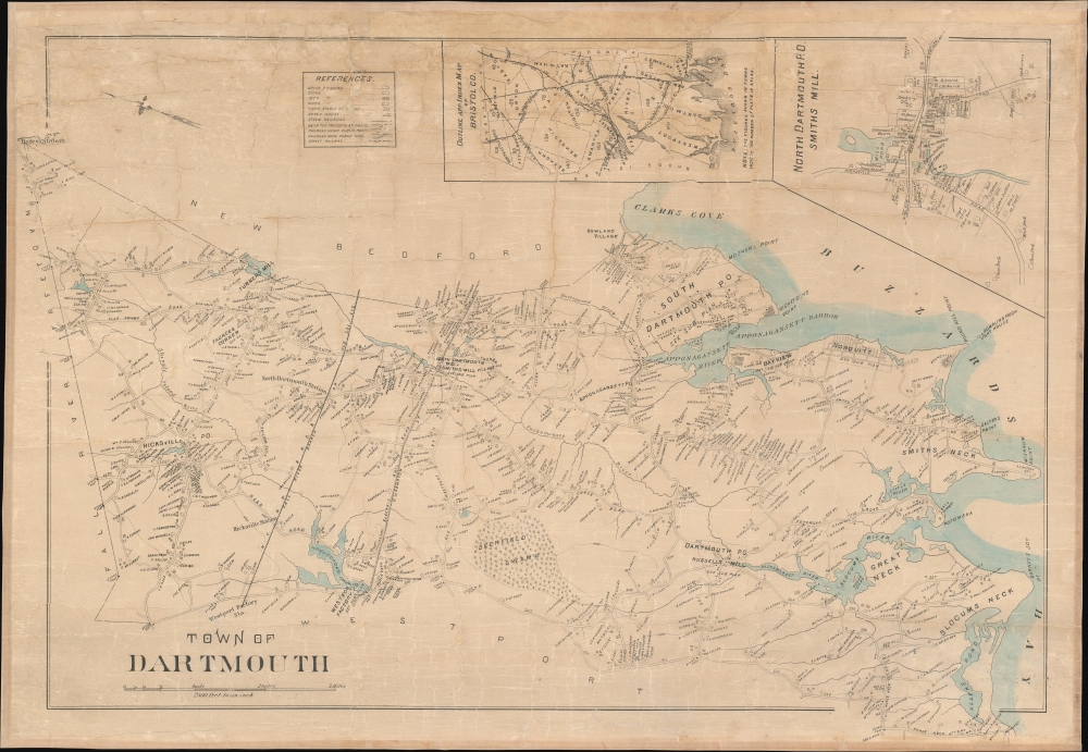
Town of Dartmouth.
$1,900.00
Acquire
- Digital Map Information
- Suitable for large format printing
- File Size: 30.04 MB
- File Type: ZIP / TIFF
- ICC color profile embedded
- Delivered instantly via download link
This is a rare separately issued c. 1895 city map of Dartmouth, Massachusetts. (more details)
World's greatest wines.
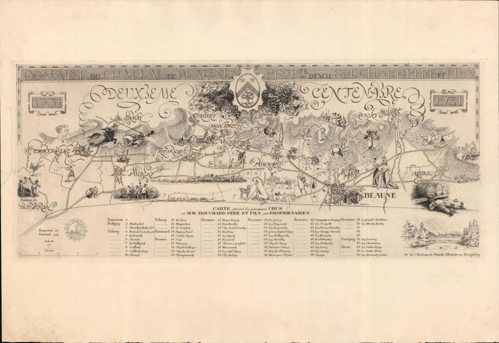
Domaine du chateau de Beaune Propte. de MM Bouchard père et fils / Carte situant les principaux crus où MM Bouchard père et fils sont proprietaires.
$1,800.00
Acquire
- Digital Map Information
- Suitable for large format printing
- File Size: 508.49 MB
- File Type: ZIP / TIFF
- ICC color profile embedded
- Delivered instantly via download link
This scarce 1931 pictorial map of the Bourgogne Côte d'Or region, issued for the bicentennial of Bouchard Père et Fils, one of the great Bourgogne vineyards. (more details)
Detailing the transportation network of the Upper Midwest.
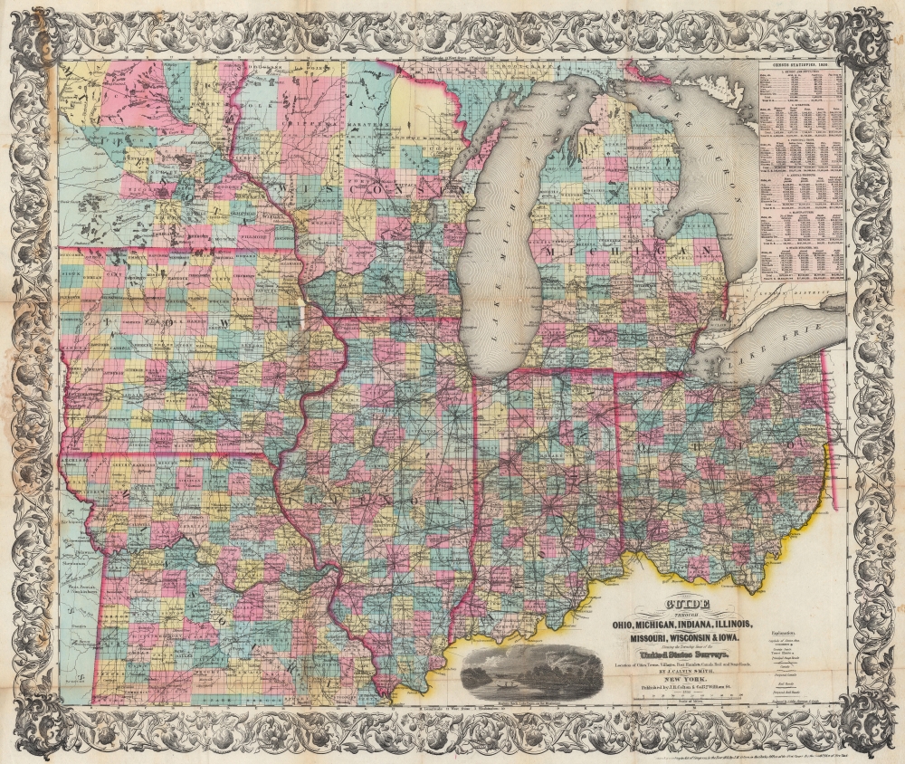
Guide Through Ohio, Michigan, Indiana, Illinois, Missouri, Wisconsin, and Iowa. Showing the Township lines of the United States Surveys, Locations of Cities, Towns, Villages, Post Hamlets, Canals, Rail and Stage Roads.
$1,200.00
Acquire
- Digital Map Information
- Suitable for large format printing
- File Size: 46.6 MB
- File Type: ZIP / TIFF
- ICC color profile embedded
- Delivered instantly via download link
This is an 1855 John Calvin Smith and John H. Colton map of Ohio, Michigan, Indiana, Illinois, Missouri, Wisconsin, and Iowa, along with part of Minnesota. The map captures a pivotal moment as mass emigration, developing industries, and displaced indigenous people transformed regional social, economic, and political spheres. (more details)
Pearl River Watershed.
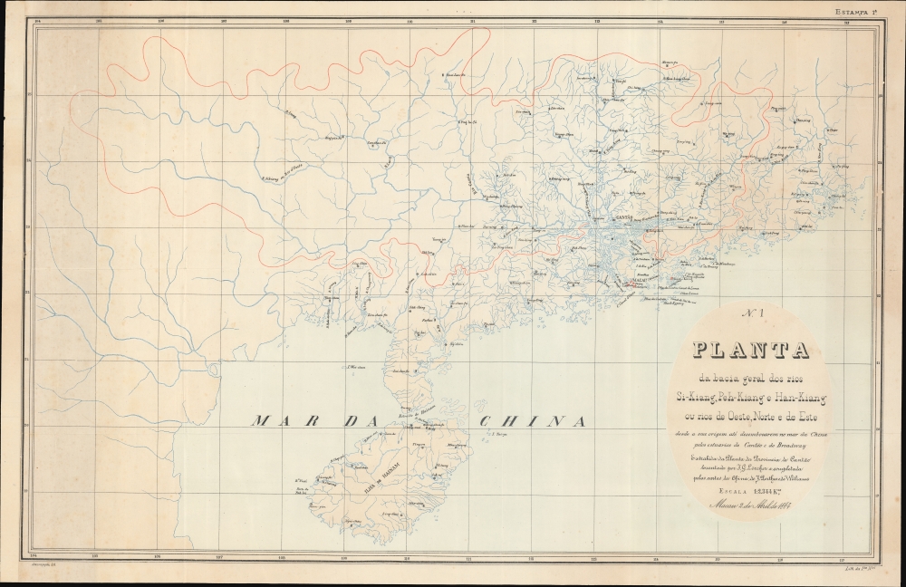
Planta da bacia geral dos rios Si-Kiang, Peh-Kiang e Han-Kiang ou rios do Oeste, Norte e de Este, desde a sua origem até desenbocarem no mar da China pelos estuários de Cantão e do Broadway.
$1,200.00
Acquire
- Digital Map Information
- Suitable for large format printing
- File Size: 488.68 MB
- File Type: ZIP / TIFF
- ICC color profile embedded
- Delivered instantly via download link
This is a remarkable 1884 Portuguese-language Adolfo Ferreira Loureiro map of Guangdong Province (广东; Canton), China, including Hong Kong, Macao, Guangzhou, and the Pearl River Estuary. The map was designed by Loureiro to assist in his engineering commission to control silt build-up in Macao Harbor. It thus focuses on the vast watershed that drains into the Pearl River, and is, as such, among the earliest works to address the complex river system. (more details)
Rare English edition of a Rarer Spanish Chart.
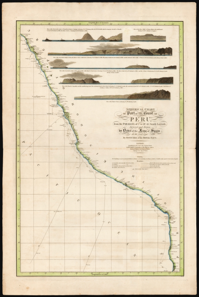
Spherical chart of part of the coast of Peru, from the Parallel of 7.° to 21.° 45.' South Latititude; Surveyed and Drawn by Order of the King of Spain in the year 1790, By Officers of the Royal Navy.
$950.00
Acquire
- Digital Map Information
- Suitable for large format printing
- Full resolution TIFF file
- ICC color profile embedded
- Delivered instantly via download link
This beautiful, rare nautical map of the coast of Peru was printed in 1805 by William Faden. It is based on the elusive chart of Felipe Bauzá y Cañas, who attended the Alexandro Malaspina Expedition (1789 - 1794) on its 1790 exploration of this coast. (more details)
The 'Mother of States'.
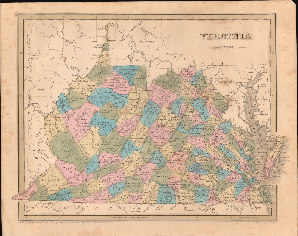
Virginia.
$400.00
Acquire
- Digital Map Information
- Suitable for large format printing
- DPI: 600
- File Size: 23.43 MB
- File Type: ZIP / TIFF
- ICC color profile embedded
- Delivered instantly via download link
An example of Thomas G. Bradford's 1846 map of Virginia (with West Virginia), published in his A Universal Illustrated Atlas. (more details)
Elegant 18th-century map of Ireland.
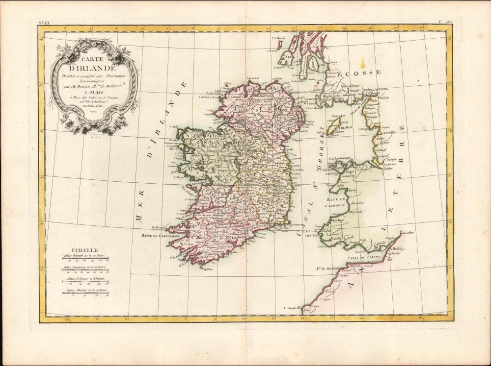
Carte D'Irlande Projettée de assujettie aux Observation Astronomiques par M. Bonne M.tre de Mathémat.
$350.00
Acquire
- Digital Map Information
- Suitable for large format printing
- DPI: 600
- File Size: 26.49 MB
- File Type: ZIP / TIFF
- ICC color profile embedded
- Delivered instantly via download link
A beautiful example of Rigobert Bonne's 1771 map of Ireland. (more details)
'...most important of all the maps of 1848,' -Wheat
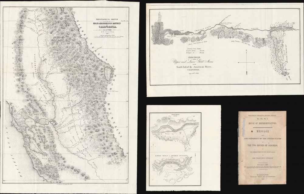
Topographical Sketch of the Gold and Quicksilver District of California. / Positions of the Upper and Lower Gold Mines on the South Fork of the American River, California. / Upper Mines. / Lower Mines or Mormon Diggings.
$2,250.00
Acquire
- Digital Map Information
- Suitable for large format printing
- Full resolution TIFF file
- ICC color profile embedded
- Delivered instantly via download link
This is a series of three 1848 maps by E. O. C. Ord of the gold discoveries in California's Sacramento Valley. These are, in aggregate, the first and most significant early maps illustrating the 1849 California Gold Rush, compiled to introduce the gold discovery to the U.S. Congress. As noted by Wheat, these were 'the first map[s] to make any pretense at cartographic accuracy after the gold discoveries,' thus being 'the most important of all the maps of 1848 . . . of paramount importance in any cartographical consideration of the gold rush.' The maps accompany Ex. Doc. No. 1, issued for the House of Representatives. (more details)
German interest in the American Revolution.
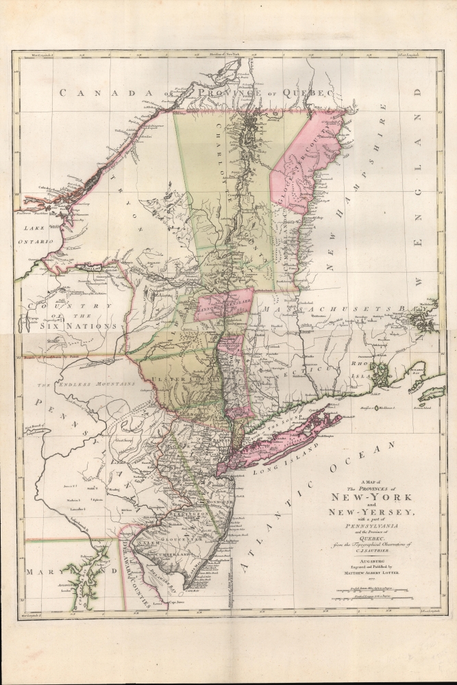
A Map of The Provinces of New-York and New-Jersey, with a part of Pennsylvania and the Province of Quebec from the Topographical Observations of C. J. Sauthier.
$2,250.00
Acquire
- Digital Map Information
- Suitable for large format printing
- DPI: 600
- File Size: 937.14 MB
- File Type: ZIP / TIFF
- ICC color profile embedded
- Delivered instantly via download link
An important 1777 Revolutionary War era map of New York and New Jersey by Claude Joseph Sauthier and Matthäus Albrecht Lotter. The map reflects significant German interest in the war related to widespread participation by Germans on both sides of the conflict. (more details)
Hong Kong issued shortly after the acquisition of Kowloon.
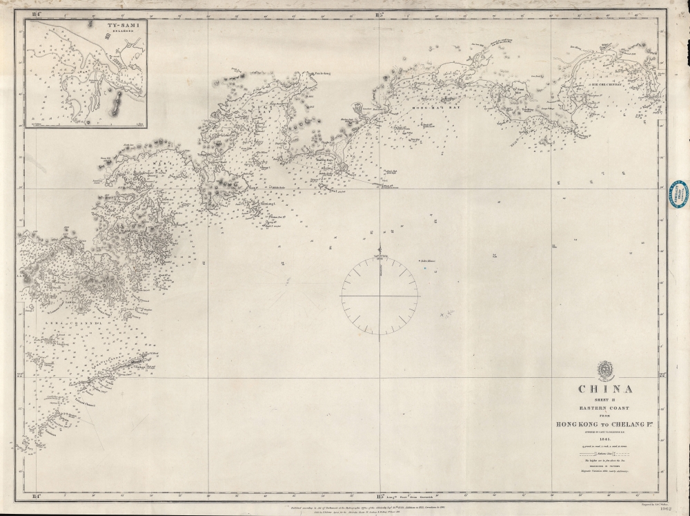
China Sheet II Eastern Coast from Hong Kong to Chelang Pt.
$2,200.00
Acquire
- Digital Map Information
- Suitable for large format printing
- File Size: 21.93 MB
- File Type: ZIP / TIFF
- ICC color profile embedded
- Delivered instantly via download link
A rare 1861 British Admiralty / Richard Collinson nautical map covering the coast of China around Hong Kong. It was issued shortly after the Second Opium War (1856 - 1860) and the British acquisition of Kowloon (which is labeled). (more details)
Remarkable mid-century modern promotional maps for Air France.
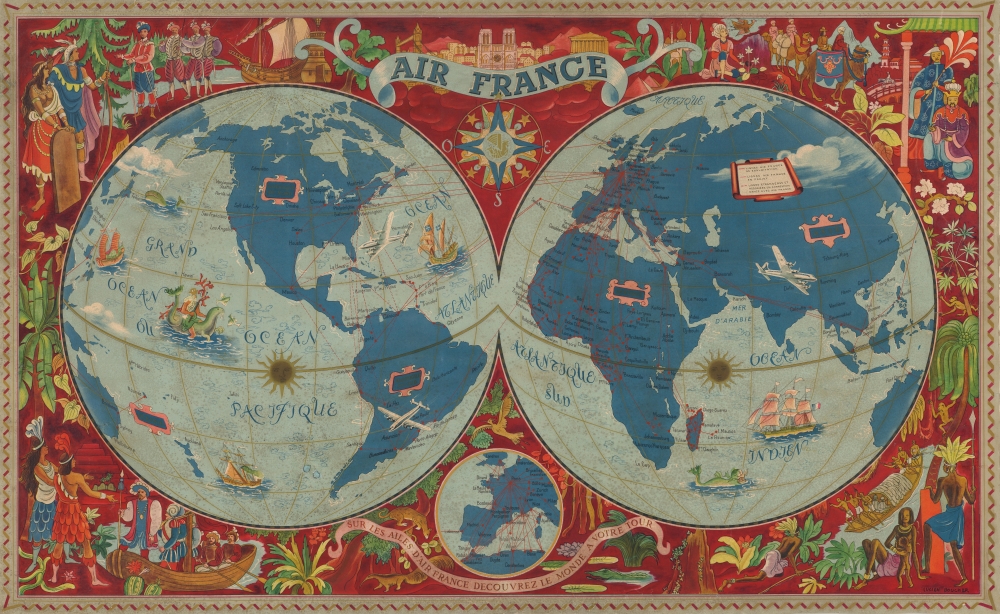
Air France. Sur les Ailes d'Air France Decouvrez le Monde a Votre Tour.
$1,200.00
Acquire
- Digital Map Information
- Suitable for large format printing
- File Size: 56.55 MB
- File Type: ZIP / TIFF
- ICC color profile embedded
- Delivered instantly via download link
One of Lucien Boucher's more iconic images, this is his c. 1952 promotional map of the world of Air France in its large format edition. Boucher utilizes a beautiful double hemisphere projection, shading the continents in a rich blue. Air France routes (highlighted in red) crisscross the globe, connecting world capitals and shrinking travel times. A Lockheed Constellation appears just east of Florida over the Atlantic, its iconic triple-tail recognizable. Neptune sits astride a sea monster in the center of the Pacific ,and a whale surfaces off the coast of Japan. Sailing ships are illustrated in the oceans, and another sea monster swims southeast of Madagascar. The surround, on a field of burgundy, features illustrations of global historic events, flora, fauna, and cultures, all in a mid-century modern aesthetic. (more details)
Great American newspaper publishers.
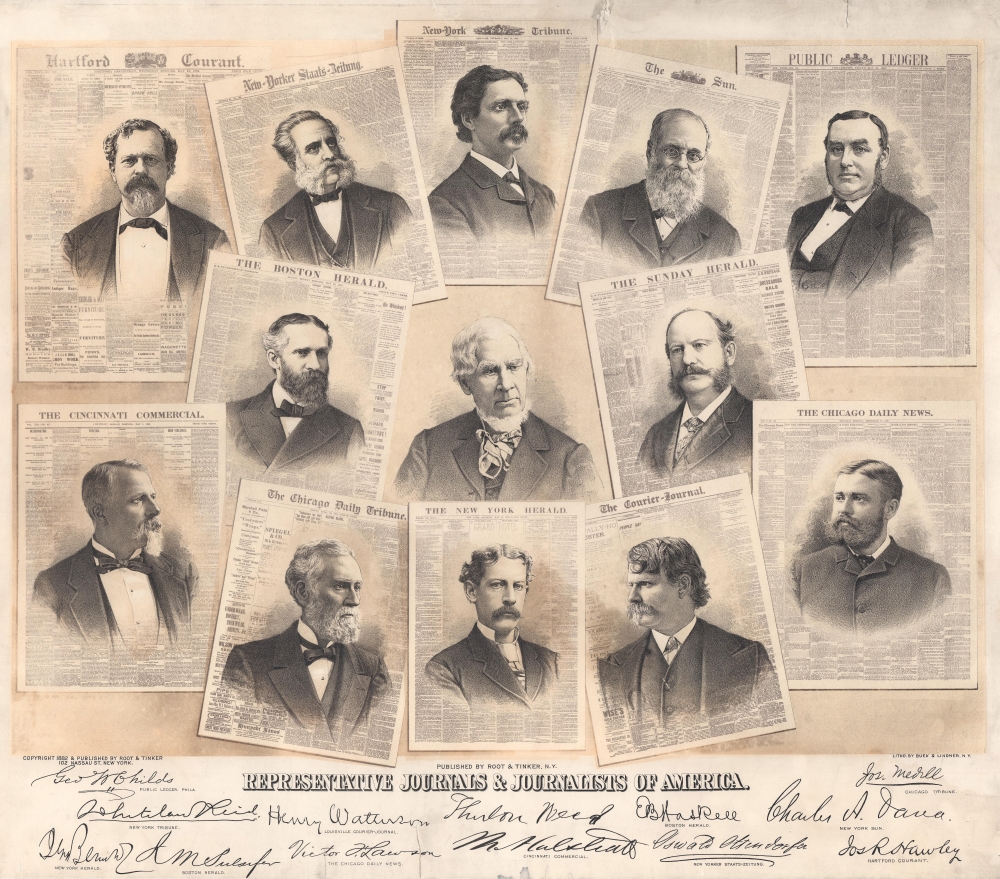
Representative Journals and Journalists of America.
$800.00
Acquire
- Digital Map Information
- Suitable for large format printing
- File Size: 32.76 MB
- File Type: ZIP / TIFF
- ICC color profile embedded
- Delivered instantly via download link
This rare broadsheet is Gustov H. Buek's tribute to America's great newspaper men. Published by Root and Tinker in 1882, it celebrates 12 of America's greatest newspaper editors and owners superimposed upon frontpage facsimiles of their newspapers. A portrait of Thurlow Weed, the retired editor of the Rochester Telegraph and the Albany Evening Journal, occupies the center of the print, but is not accompanied by a facsimile. (more details)
Boundary ambiguity.
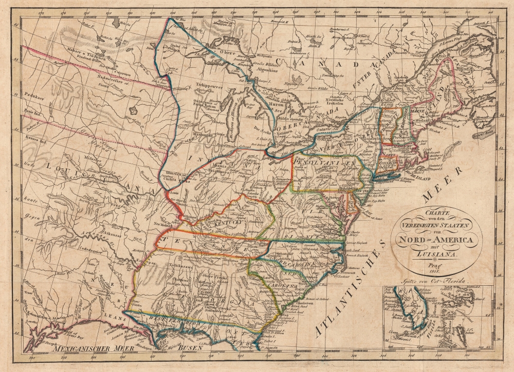
Charte von den Vereinigten Staaten von Nord=America mit Luisiana.
$750.00
Acquire
- Digital Map Information
- Suitable for large format printing
- DPI: 600
- File Size: 14.62 MB
- File Type: ZIP / TIFF
- ICC color profile embedded
- Delivered instantly via download link
This is an 1818 Franz Pluth map of the eastern United States. The is an intriguing Czech production published in Prague. It is both impressively detailed and utterly confusing, reflecting ambiguity regarding U.S territorial claims following the Louisiana Purchase. (more details)
One of the great female pioneers of pictorial cartography.
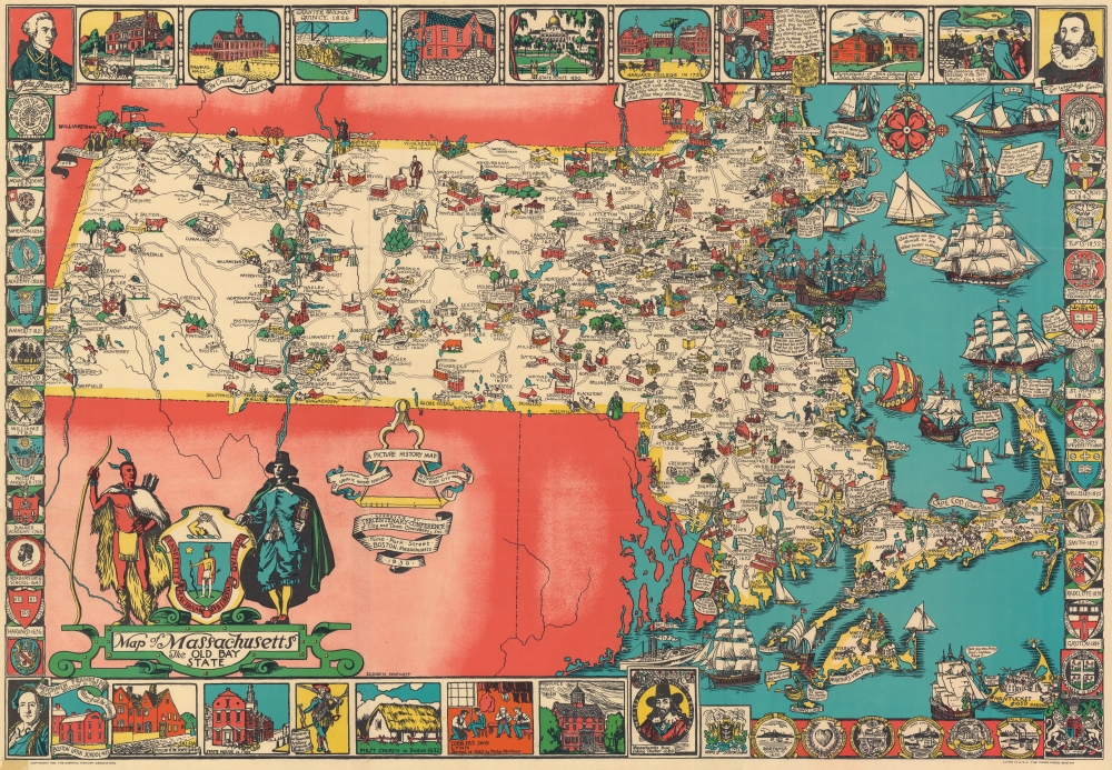
Map of Massachusetts The Old Bay State.
$650.00
Acquire
- Digital Map Information
- Suitable for large format printing
- File Size: 64.57 MB
- File Type: ZIP / TIFF
- ICC color profile embedded
- Delivered instantly via download link
An uncommon 1930 pictorial map of Massachusetts issued by Tudor Press and Elizabeth Shurtleff, one of the most prominent female pictorial mapmakers. The map covers all of Massachusetts with vignette cartoon illustrations of various towns. Considerable focus is placed on industry, and many towns are highlighted with factory and/or mill illustrations. Indications of the merchandise produced there are also noted, including knit goods, shoes, jewelry, optical goods, textiles, etc. Other illustrations reference events of the American Revolutionary War. Surrounding the map are decorative armorial crests celebrating the many distinguished institutions of learning located throughout Massachusetts. Among them are Harvard, the Roxbury Latin School, Williams, Phillips Andover, the Bradford Academy, Amherst, Wheaton, the Abbot Academy, Mount Holyoke, Holy Cross, Tufts, MIT, Boston College, St. Marks, and Boston University. (more details)
Abreast of West Point.
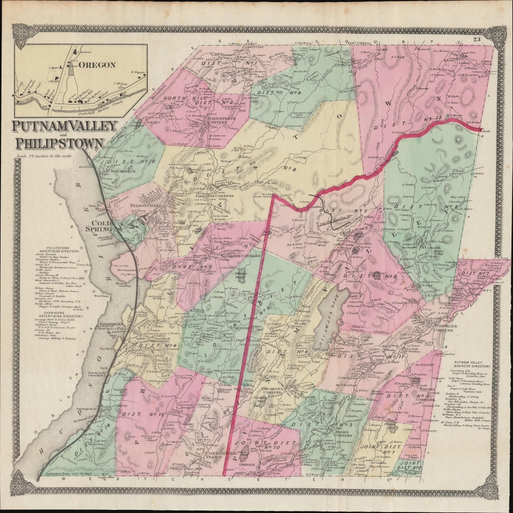
Putnam Valley and Philipstown.
$450.00
Acquire
- Digital Map Information
- Suitable for large format printing
- File Size: 43.1 MB
- File Type: ZIP / TIFF
- ICC color profile embedded
- Delivered instantly via download link
This is F. W. Beers' 1867 hand-colored map of the towns of Putnam Valley and Philipstown, along the Hudson River in Putnam County, New York. (more details)
Heartland of the Hudson Valley.
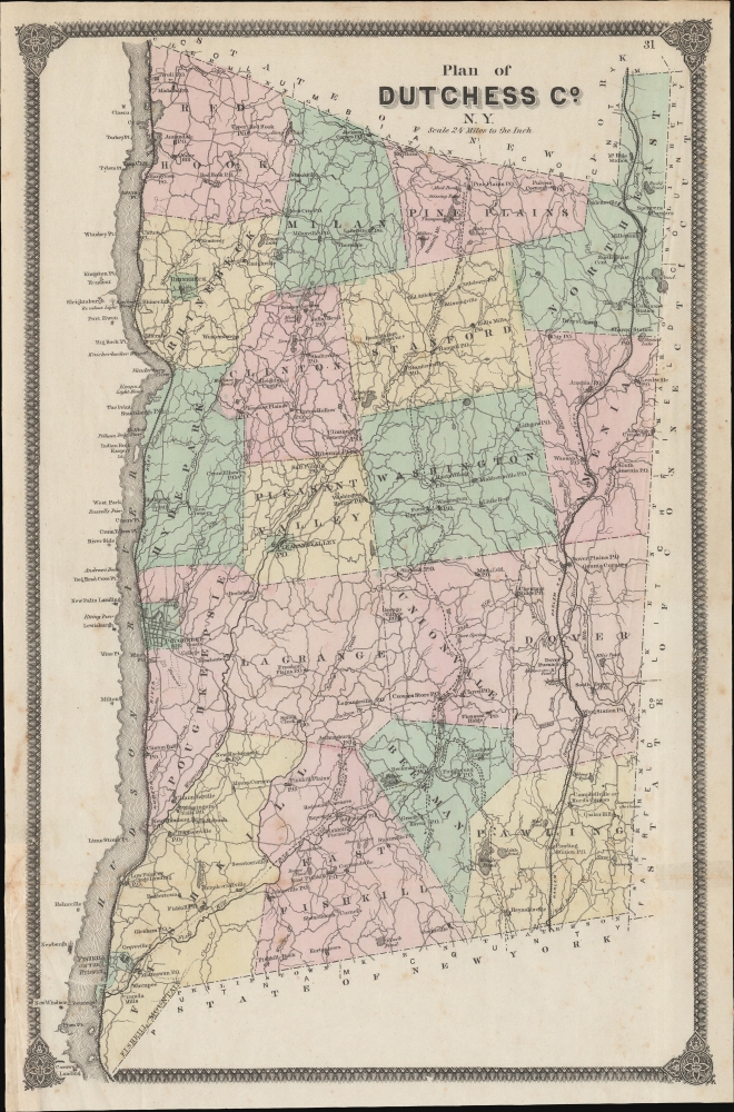
Plan of Dutchess Co. N. Y.
$350.00
Acquire
- Digital Map Information
- Suitable for large format printing
- File Size: 330.2 MB
- File Type: ZIP / TIFF
- ICC color profile embedded
- Delivered instantly via download link
A lovely example of F. W. Beers 1867 map of Dutchess County, New York that appeared in his Atlas of New York and Vicinity from Actual Surveys. This area is known for its scenic beauty, historical significance (especially its association with the Roosevelts), and educational institutions, notably Vassar College. (more details)
Celebrating California history.
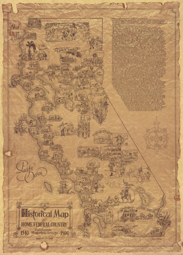
Historical Map of Home Federal Country. California Historical Events 1540 - 1890.
$275.00
Acquire
This is a 1973 Darrel Millsap pictorial map of California highlighting historical events. (more details)