
NEW ACQUISITIONS
Indian Army's Showcase Campaign in the Great War.
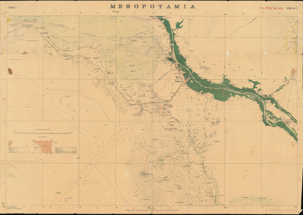
Mesopotamia. Sheet No. 1. Basrah. No.888 D.D.D. 1917 (2.D.O.) S.I. 2000.
$3,500.00
Acquire
- Digital Map Information
- Suitable for large format printing
- Full resolution TIFF file
- ICC color profile embedded
- Delivered instantly via download link
This is a rare 1917 Survey of India map focusing on the key strategic regions of Basra-Zubair in south-eastern Iraq and the adjacent Khorramshahr area of Persia, and it is one of the first maps to show Abadan, the first oil boomtown of the Middle East. It was also a showcase theater for the employment of units of the Indian Army, whose officers were given charge of the campaign at the beginning of the war. (more details)
Mapping Taiwan, with an Eye towards Expansion.
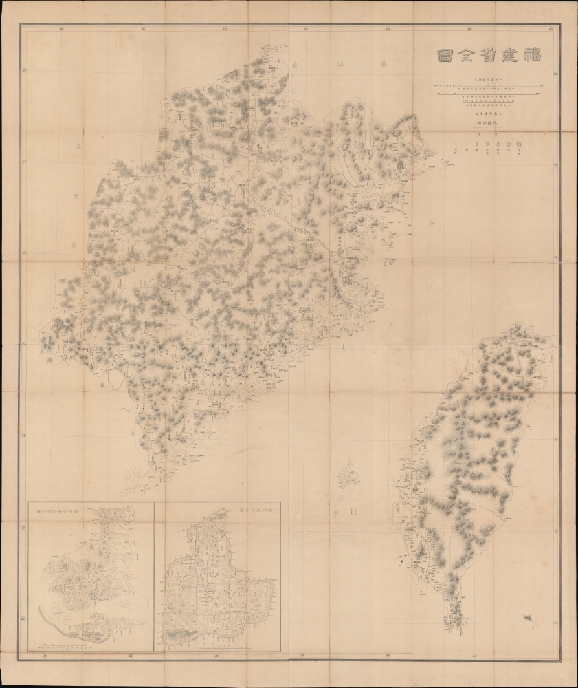
福建省全圖 / [Complete Map of Fujian Province].
$3,000.00
Acquire
- Digital Map Information
- Suitable for large format printing
- Full resolution TIFF file
- ICC color profile embedded
- Delivered instantly via download link
This is a rare c. 1882 large-format folding map of Fujian and Taiwan, produced by the General Staff of the Japanese Imperial Army. Made in the wake of Japan's 1874 Punitive Expedition to Taiwan, this map presages the 1895 conquest and colonization of Formosa. (more details)
An Early View of Yokohama's Red-Light District.
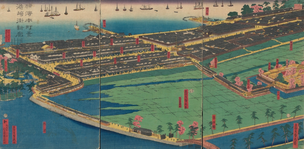
橫濱本町景港崎街新廓 / [View of Yokohama Honmachi and the New Miyozaki Quarter].
$3,000.00
Acquire
- Digital Map Information
- Suitable for large format printing
- Full resolution TIFF file
- ICC color profile embedded
- Delivered instantly via download link
This is a c. 1860 ukiyo-e triptych of Yokohama highlighting, among other elements, the Miyozaki Pleasure Quarter, prepared by Sadahide and published by Yamaguchiya Tōbei. The city, hitherto a small fishing village, rapidly developed after being opened to foreign traders and residents in 1859, building new districts, including Miyozaki, in a handful of months. (more details)
First Atlas Map of the North Parts of the World.
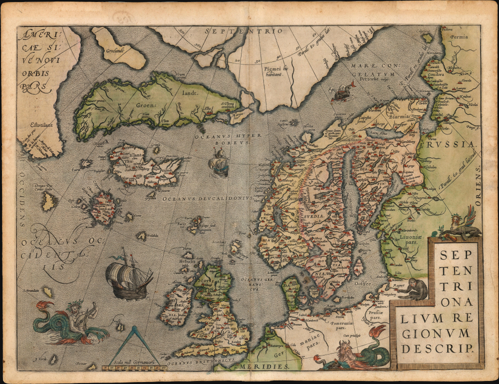
Septentrionalium Regionum Descrip.
$3,000.00
Acquire
- Digital Map Information
- Suitable for large format printing
- Full resolution TIFF file
- ICC color profile embedded
- Delivered instantly via download link
A beautiful example of one of Abraham Ortelius' most interesting maps, his 1570 map of Scandinavia and the Arctic. During the Age of Discovery, the Arctic was as remote and unfamiliar as the coasts of America, Africa, or Asia. This map played a role in propagating several cartographic fallacies, including the Zeno Fraud: Frisland, Estotiland, Drogeo. The present example, in a 1602 Vrients edition, features warm, original color. (more details)
Kyiv after Beauplan's Firsthand Survey. During the Russo-Polish War (1654 - 1667).
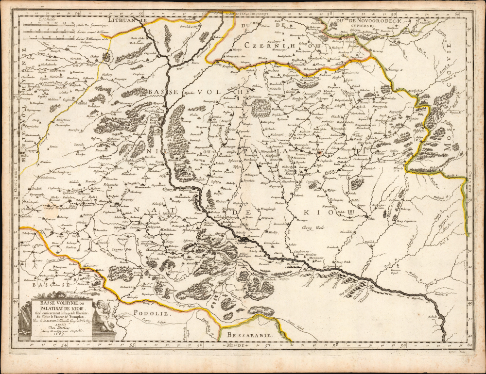
Basse Volhynie, ou Palatinate de Kiow.
$2,000.00
Acquire
- Digital Map Information
- Suitable for large format printing
- Full resolution TIFF file
- ICC color profile embedded
- Delivered instantly via download link
This is a beautifully engraved 1665 map of central Ukraine by Nicolas Sanson. Published during the Russo-Polish War (1654 - 1667), it is the earliest French iteration of the geography of Franco-Polish cartographer, engineer, and architect Guillaume Levasseur de Beauplan. Beauplan produced the best 17th-century survey of the Dniepr and laid the foundation for the modern mapping of Ukraine. (more details)
Reconciling ancient geography with new discoveries.
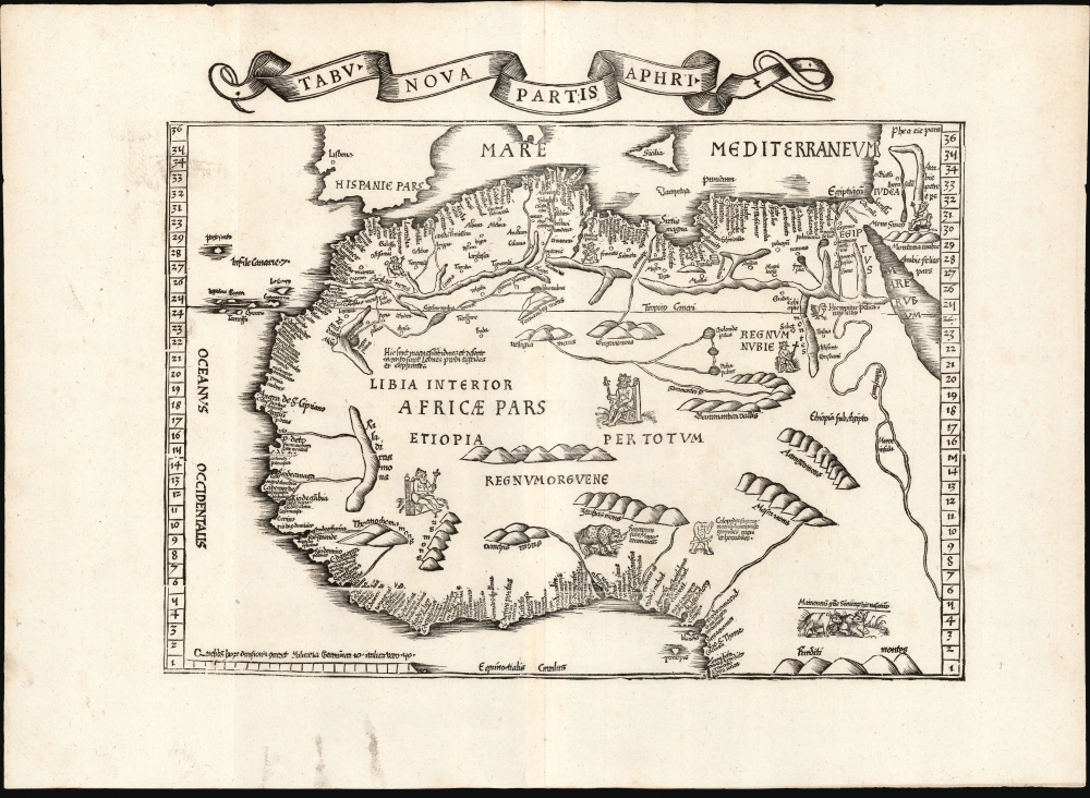
Tabu. Nova Partis Aphri.
$1,900.00
Acquire
- Digital Map Information
- Suitable for large format printing
- Full resolution TIFF file
- ICC color profile embedded
- Delivered instantly via download link
This is Laurent Fries' 1535 edition of the earliest acquirable modern mapping of Africa north of the Equator. This is one of the earliest printed maps to incorporate contemporary Portuguese discoveries while preserving classical Ptolemaic geography. (more details)
Supplying the Soviet War Effort.

Persian Gulf. Asia Sheet 32 (1/M North F-J 36-40). M.D.R. 533/12035.
$1,500.00
Acquire
- Digital Map Information
- Suitable for large format printing
- Full resolution TIFF file
- ICC color profile embedded
- Delivered instantly via download link
This is a 1945 British War Office map of the Middle East, produced in the later stages of World War II (1939 - 1945). Among other features, it reflects improvements in rail and road infrastructure in Iran, which the Allies arranged to facilitate the ferrying of Lend-Lease supplies to the Soviet Union. (more details)
Walls of the Sea.
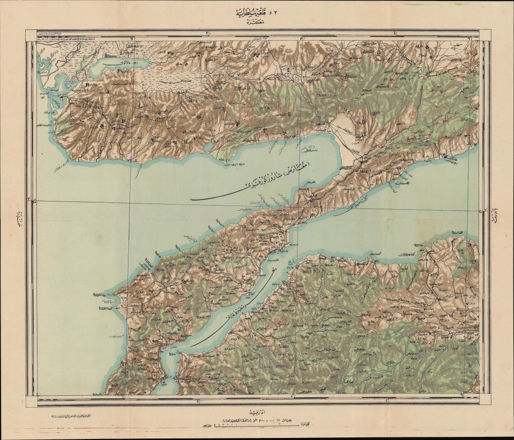
قلعه سلطانيه / [Sultaniye Castle].
$950.00
Acquire
- Digital Map Information
- Suitable for large format printing
- Full resolution TIFF file
- ICC color profile embedded
- Delivered instantly via download link
This is a 1922 Ottoman Turkish military and topographic map of the Dardanelles, produced by the Erkan-ı Harbiye-i Umumiye Matbaası. It highlights fortifications, lines of communication, and other essential military information constructed just before and during World War I (1914 - 1918), preparations that would pay off during the Gallipoli Campaign in 1915. (more details)
Active Civil War encampment.

Camp of the 148th Regt. New York Vols. Portsmouth, VA.
$950.00
Acquire
- Digital Map Information
- Suitable for large format printing
- Full resolution TIFF file
- ICC color profile embedded
- Delivered instantly via download link
This is a c. 1863 James S. Laidlaw view of the 148th Regiment, New York Infantry's camp at Portsmouth, Virginia, during the American Civil War (1861 - 1865). Unlike most Civil War images, this view was published contemporaneously with the war. (more details)
Doomed! Doomed I say!
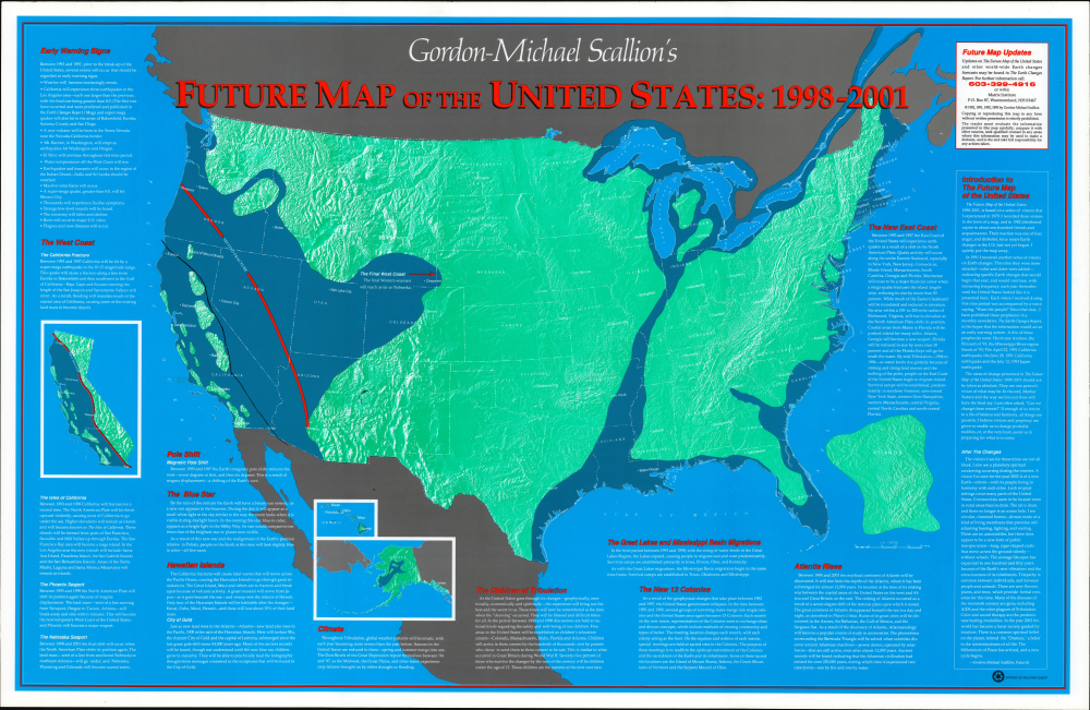
Gordon-Michael Scallion's Future Map of North America: 1998 - 2001.
$850.00
Acquire
This is Gordon-Michael Scallion's 1993 doomsday map of the United States. A self-styled prophet, Scallion here lays out what he sees as a series of imminent catastrophes that will reshape the map of the country. (more details)
Malaya and Singapore in the Interwar Period.
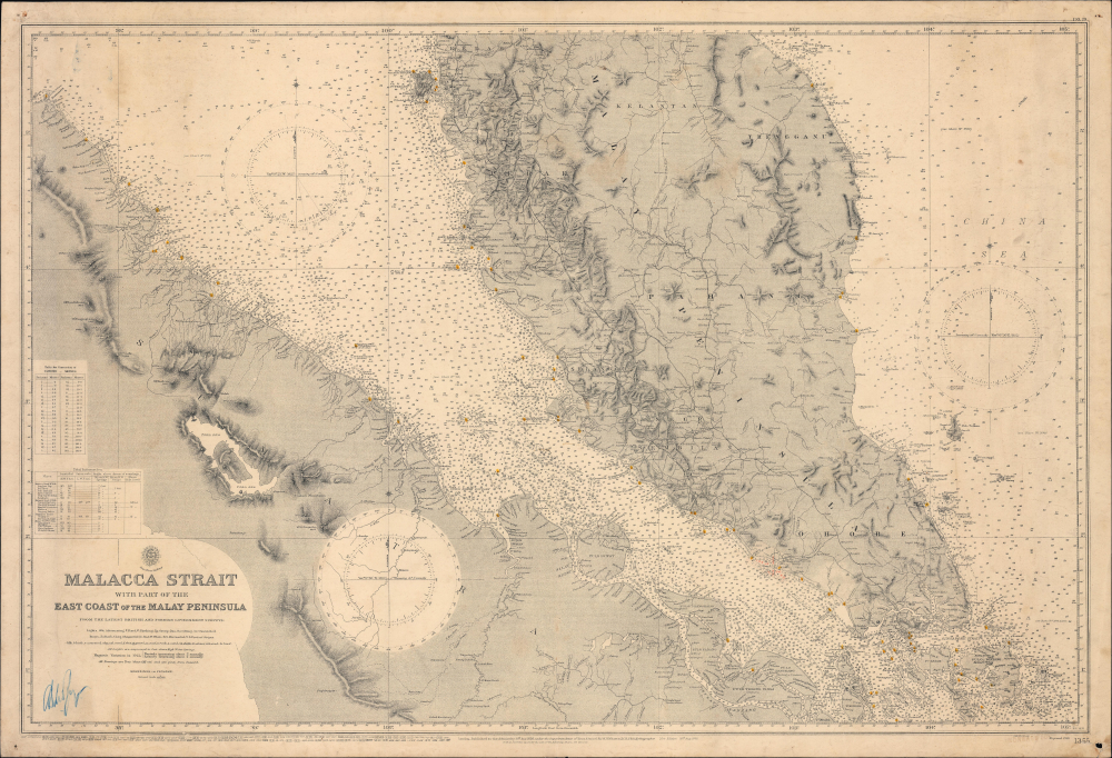
Malacca Strait with part of the East Coast of the Malay Peninsula from the latest British and Foreign Government Surveys.
$750.00
Acquire
- Digital Map Information
- Suitable for large format printing
- Full resolution TIFF file
- ICC color profile embedded
- Delivered instantly via download link
This is a 1929 British Admiralty nautical chart or maritime map of the Malay Peninsula, Singapore, and the Strait of Malacca. It captures the Strait during the Interwar Period (1918 - 1939), when Malaya was the world's largest single source of both rubber and tin, and when the British sought to protect this vitally important waterway from foreign aggression. (more details)
California Comrades.
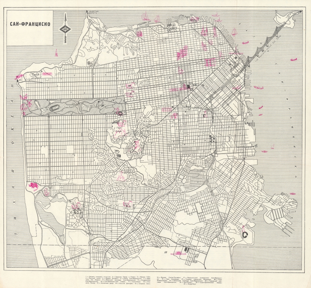
Сан-Франциско, Лос-Анджелес / [San Francisco, Los Angeles].
$400.00
Acquire
This is a c. 1960 Russian-language two-sided map of San Francisco and Los Angeles. The origin of the maps is unclear, but they may have been produced to coincide with Nikita Khrushchev's visit to both cities in September 1959. (more details)
L.A.'s Art Deco Grandeur.
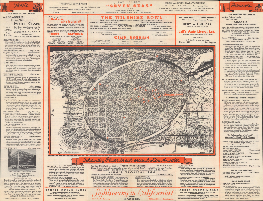
Interesting Places in and around Los Angeles. / Los Angeles and Southern California...
$300.00
Acquire
- Digital Map Information
- Suitable for large format printing
- Full resolution TIFF file
- ICC color profile embedded
- Delivered instantly via download link
This is a pictorial view of Downtown Los Angeles and environs, drawn by Gerald Eddy in 1934 and published the following year by the National Travel Service, a travel agency in L.A. It presents the city during the Great Depression, when it largely bucked national and international economic trends and built many of its most iconic buildings. (more details)
Quod est superius est sicut quod est inferius, et quod inferius est sicut quod est superius.
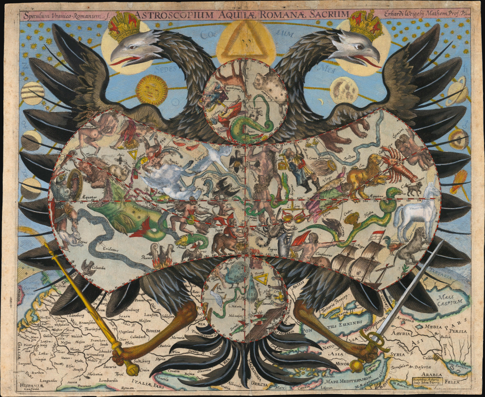
Speculum Uranico-Romanum S. Astroscopium Aquilae Romanae Sacrum Erhardi Weigelis Mathem. Prof. P. Jena.
$20,000.00
Acquire
- Digital Map Information
- Suitable for large format printing
- Full resolution TIFF file
- ICC color profile embedded
- Delivered instantly via download link
This is Erhard Weigel's rare and striking 1661 astroscopium, or allegorical chart of the constellations, framed by the janiform eagle of the Holy Roman Empire. The map is titled 'Speculum Uranico-Romanum', which translates to 'Roman Celestial Mirror', underscoring the mirroring of the celestial and political realms. As-above-so-below, the map presents Weigel's cosmographical framework, in which astronomy (mathematics) and politics were divinely sanctioned and mutually reinforcing: astronomy revealed God's mathematically ordered universe, while the Holy Roman Empire embodied His ordained Christian order. This fascinating image underwent several changes during its printing history: the present example is likely a proof state. (more details)
Best general mapping of Arabia in Persia - drawn from first hand reports and exploration.

Map of the Counties Situated between the Rivers Nile and Indus; serving as an Inex to the work on the Expedition for hte Survey of the Euphrates and Tigris Drawn from Materials furinished by Lieut. Colonel Chesney R. S. F.R.S.
$12,000.00
Acquire
- Digital Map Information
- Suitable for large format printing
- Full resolution TIFF file
- ICC color profile embedded
- Delivered instantly via download link
This is a 1850 general map of Arabia and Persia, illustrating the route of Rawdon Chesney's Euphrates Expedition (1835 - 1837). Decades before the Suez Canal, Chesney proposed the Euphrates as a viable route for steamers to reach the Persian Gulf and, thus, India, avoiding the dangerous months-long voyage around Africa. The cartography presented is the most advanced general mapping of Arabia and Persia then available, being either directly derived from the 1830s Euphrates Expedition or collected from local sources en route. (more details)
London in the Early Days of Britain's Imperial Century.

Cary's New and Accurate Plan of London and Westminster, the Borough of Southwark and parts adjacent...
$9,000.00
Acquire
- Digital Map Information
- Suitable for large format printing
- Full resolution TIFF file
- ICC color profile embedded
- Delivered instantly via download link
This is John Cary's 1816 large-format folding map of London, England. Nearly five feet in length, the map allows for the presentation of the city down to a minute level of detail at a time when its face was rapidly changing, with the construction of grand new buildings, bridges, docks, and canals. (more details)
Most visually engaging atlas map of the world from the early Colonial period.
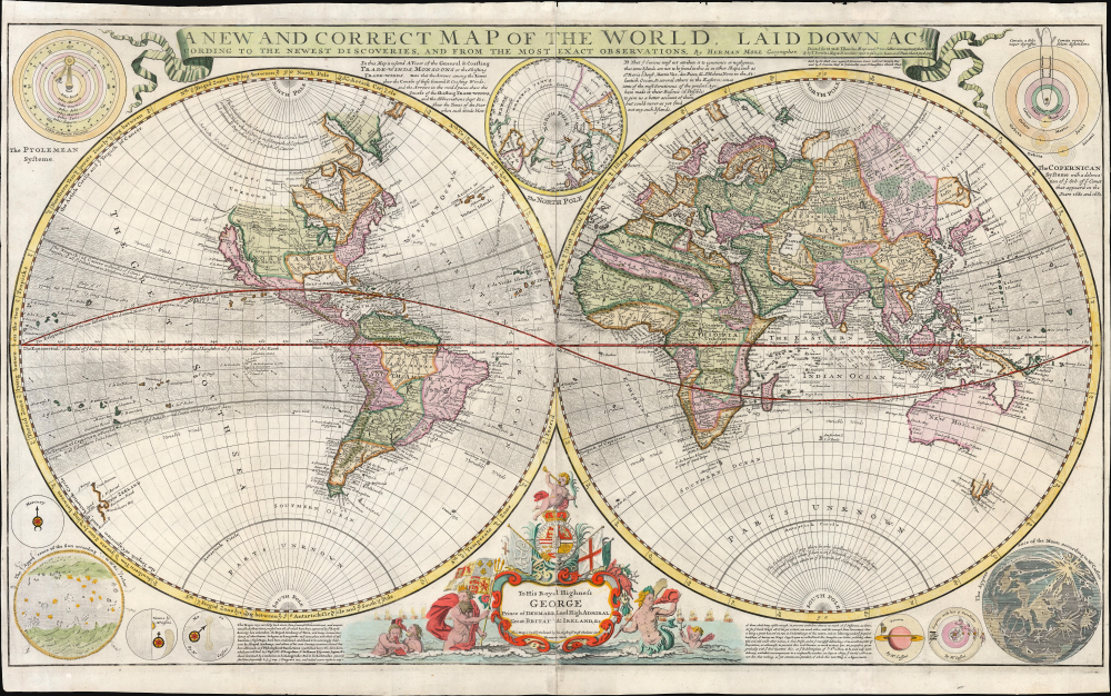
A New and Correct Map of the World Laid Down According to the Newest Discoveries, and from the Most Exact Observations, by Herman Moll Geographer.
$5,500.00
Acquire
- Digital Map Information
- Suitable for large format printing
- Full resolution TIFF file
- ICC color profile embedded
- Delivered instantly via download link
This is Herman Moll's 1707 / 1726, large-format double-hemisphere map of the world. It is the largest and most visually entertaining English atlas map of the world from the early Colonial period; it captures a view of the world in the midst of a transformation from the state of the art of the 17th century to a more scientifically focused style of cartography. The new mode - predominantly French - dominates the map: ironic, given Moll's adopted English chauvinism. (more details)
Greatest Map of Mont Blanc Ever Made.

Le Massif du Mont Blanc.
$5,500.00
Acquire
- Digital Map Information
- Suitable for large format printing
- Full resolution TIFF file
- ICC color profile embedded
- Delivered instantly via download link
This is Eugène Emmanuel Viollet-le-Duc's stunning chromolithographic 1876 map of Mont Blanc, produced after years of studying the massif's geography and geology. It is considered the greatest map of Mont Blanc ever produced, reflecting Viollet-le-Duc's artistic skills and unique experience as France's premier restorationist of historic sites. The map's production also coincided with territorial disputes between France and Italy (still unresolved) following the 'return' of Mont Blanc to France in 1860. (more details)
Hollywood at the End of the Silent Film Era.
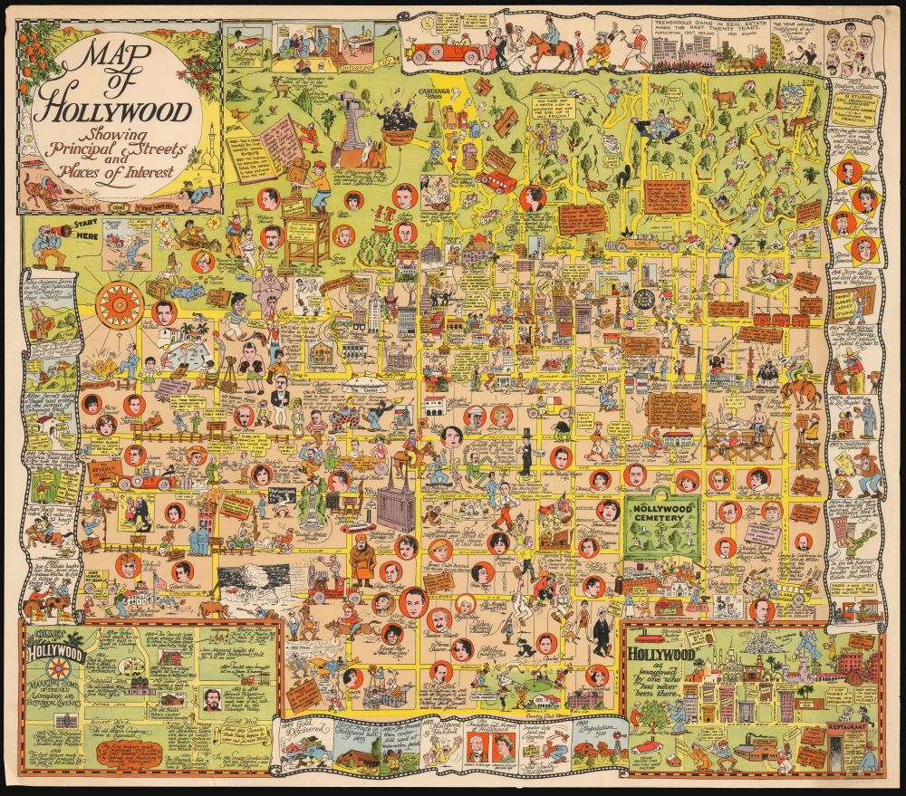
Map of Hollywood Showing Principal Streets and Places of Interest.
$4,500.00
Acquire
- Digital Map Information
- Suitable for large format printing
- Full resolution TIFF file
- ICC color profile embedded
- Delivered instantly via download link
This is Harrison Godwin's 1928 pictorial map of Hollywood, California, the rarest of his creations and a masterpiece of pictorial cartography. It provides a colorful, raucous, and molecularly local snapshot of the film industry near the end of the Silent Film Era and the advent of the 'Golden Age of Hollywood.' (more details)
At the height of the Haitian Revolution, when a former slave's rise to power that undermined the foundations of the plantation system.
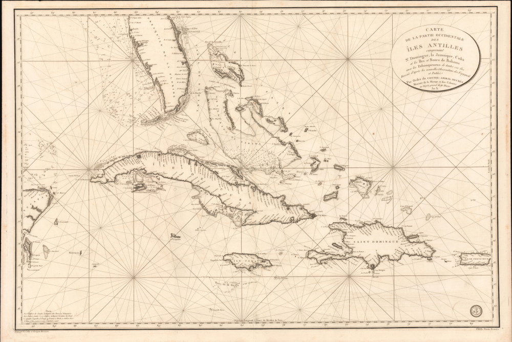
Carte de la Partie Occidentale des Îles Antilles Comprenant St. Domingue, La Jamaique, Cuba et Îles et Bancs de Bahama avec les Débouqumens de toutes ces Îles Dressée d'apres les nouvelles Observations des Espagnols et Publiée Par Ordre du Xontre-Amiral Decrès Ministre de la Marine et des Colonies au Dépôt général de la Marine, en 1801.
$4,000.00
Acquire
- Digital Map Information
- Suitable for large format printing
- Full resolution TIFF file
- ICC color profile embedded
- Delivered instantly via download link
A striking 1801 French Dépôt de la Marine nautical chart of Florida and the Greater Antilles, encompassing Cuba, the Bahamas, Hispaniola, Puerto Rico, and Jamaica. Issued at the height of the Haitian Revolution, the map coincides with the rise of the former slave and revolutionary Toussaint Louverture, who had just unified Hispaniola under his authority, sending shockwaves through the slaveholding societies of the Atlantic world. Published as Napoleon Bonaparte prepared his massive Saint-Domingue Expedition to reclaim France's richest colony, this chart reflects the sudden strategic importance of the Caribbean's sea lanes, making it an artifact of one of history's most transformative revolutions. (more details)