
NEW ACQUISITIONS
Weekends on the Cape and how to get there.
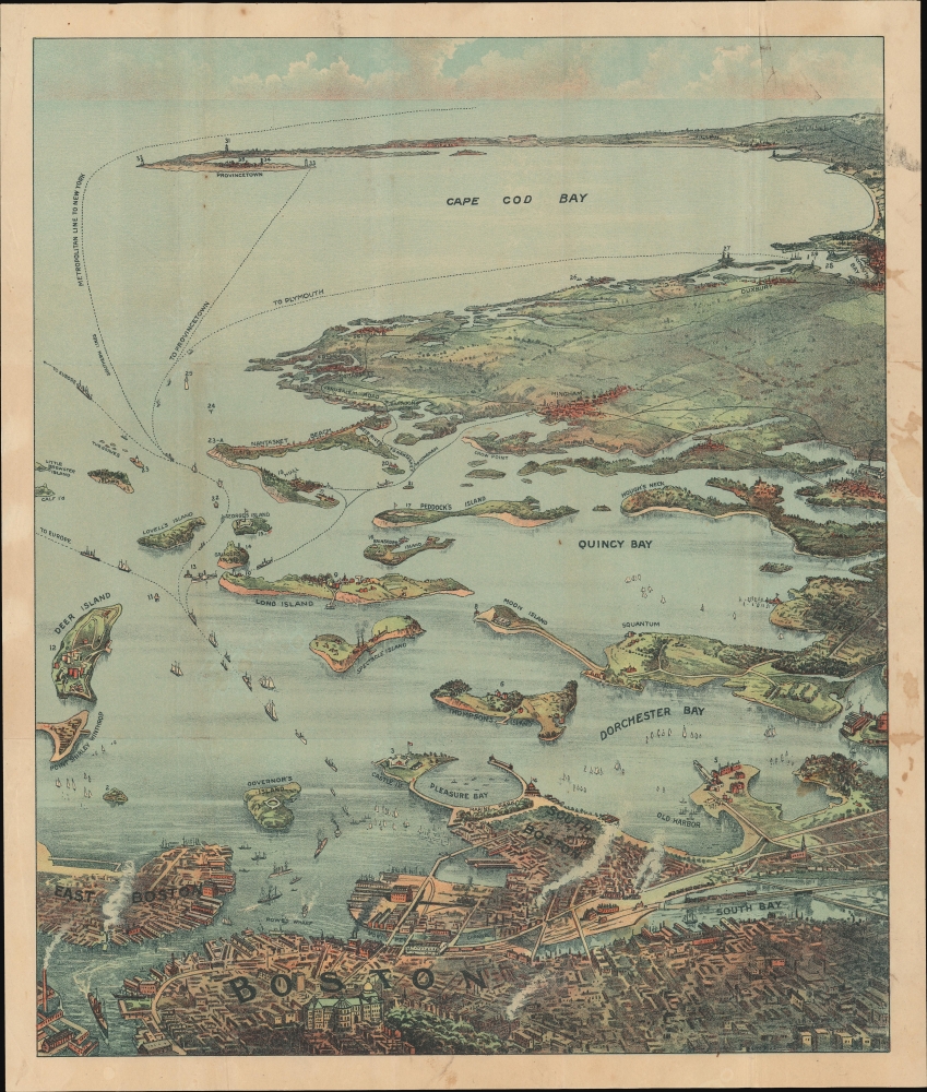
Bird's Eye View of Boston Harbor and South Shore to Provincetown Showing Steamship Routes.
$350.00
Acquire
- Digital Map Information
- Suitable for large format printing
- Full resolution TIFF file
- ICC color profile embedded
- Delivered instantly via download link
This is a c. 1917 chromolithograph map and view of Boston Harbor from Boston to Provincetown published by Union News. In the late 19th and early 20th century, such views were popular travel souvenirs sold at newsstands in train and ferry stations, as well as by newsboys onboard the trains and ferries themselves. (more details)
Home of Hot Springs.
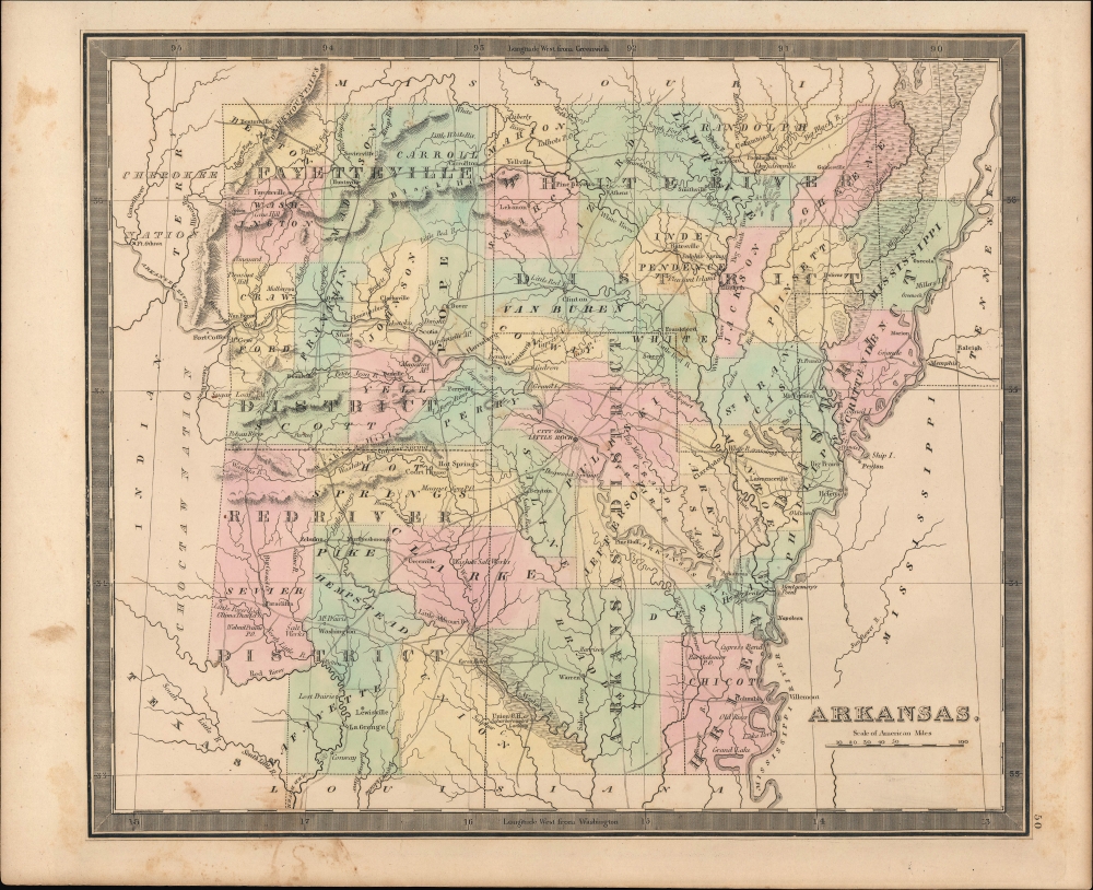
Arkansas.
$300.00
Acquire
- Digital Map Information
- Suitable for large format printing
- Full resolution TIFF file
- ICC color profile embedded
- Delivered instantly via download link
An example of Jeremiah Greenleaf's 1849 map of Arkansas, published in his New Universal Atlas, depicting the state soon after its ascension to the Union. (more details)
Beginnings of Death Valley tourism.
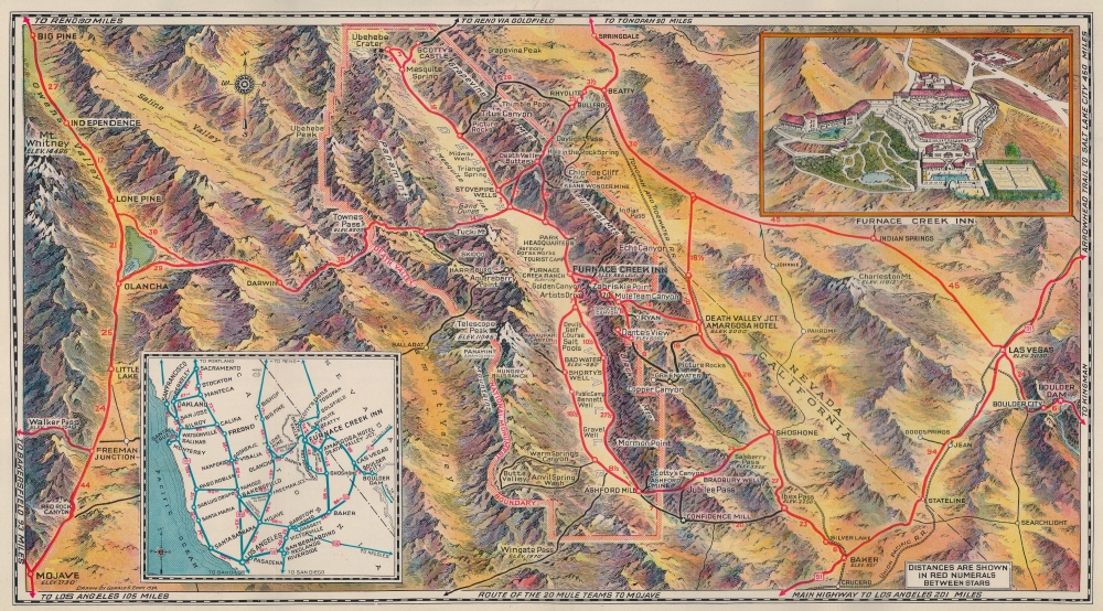
[Death Valley.]
$250.00
Acquire
- Digital Map Information
- Suitable for large format printing
- Full resolution TIFF file
- ICC color profile embedded
- Delivered instantly via download link
This is a 1934 Gerald Eddy pictorial map of Death Valley, California. Issued just year after Death Valley National Monument was chartered, this is one of the earliest obtainable touristic presentations of the dramatic desert. (more details)
Slavery, Resistance, and Revolution.
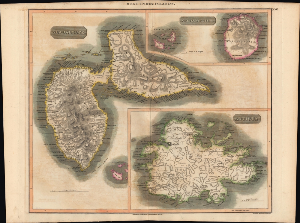
West Indies. Guadaloupe. Antigua. MarieGalante etc.
$250.00
Acquire
- Digital Map Information
- Suitable for large format printing
- Full resolution TIFF file
- ICC color profile embedded
- Delivered instantly via download link
An example of John Thomson's hand-colored 1814 map of the West India islands of Antigua, Guadeloupe, and Marie-Galante. (more details)
Africa, as Depicted on the Eve of Livingstone's Explorations.
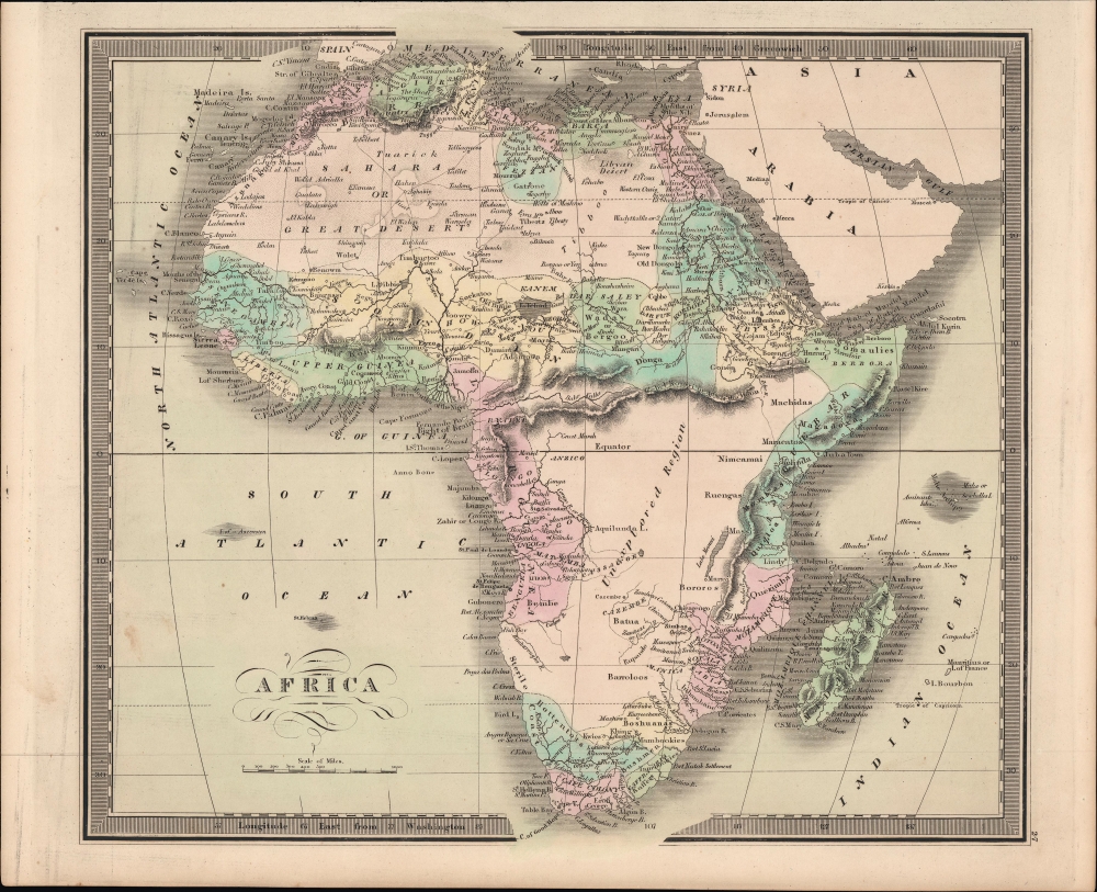
Africa.
$200.00
Acquire
- Digital Map Information
- Suitable for large format printing
- Full resolution TIFF file
- ICC color profile embedded
- Delivered instantly via download link
An example of Jeremiah Greenleaf's hand-colored 1849 map of Africa, from his New Universal Atlas, reflecting the limited but developing European understanding of African geography. (more details)
'Florida's Smartest Suburban Community of Gracious Living.'
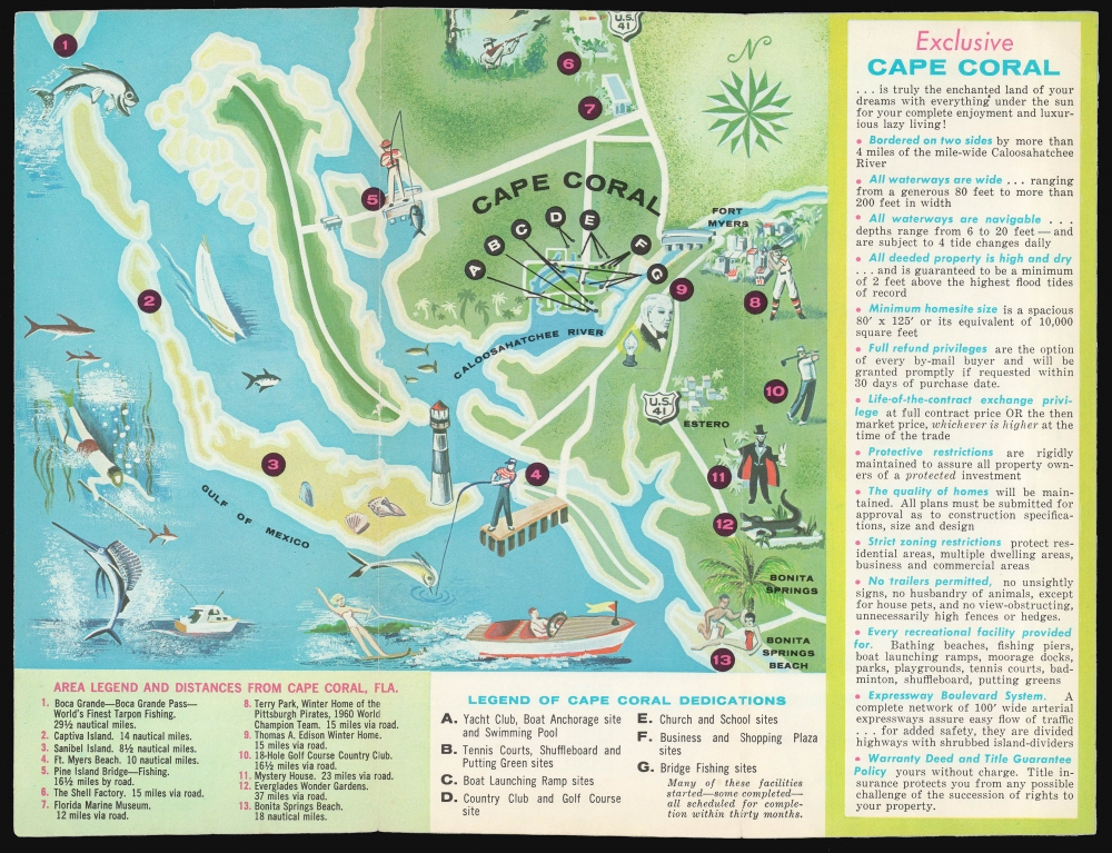
Cape Coral A Waterfront Wonderland.
$125.00
Acquire
This is a c. 1961 real-estate brochure, featuring a pictorial map of the planned community Cape Coral, Florida. It was published by the developer of the town, Gulf Guarantee Land and Title Company. By 1961, the company was vigorously promoting available lots, and this brochure would have represented an essential pitch to prospective buyers. (more details)
Best early map of Long Island.
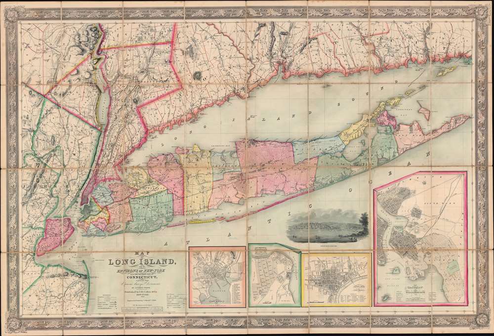
Map of Long Island, with the Environs of New-York and the Southern Part of Connecticut, compiled from Various Surveys and Documents.
$6,750.00
Acquire
- Digital Map Information
- Suitable for large format printing
- File Size: 203.5 MB
- File Type: ZIP / TIFF
- ICC color profile embedded
- Delivered instantly via download link
A fine example of John Calvin Smith and J. H. Colton's 1856 map of Long Island. This is the largest, most significant, and most beautiful map of Long Island to be issued in the 19th century. It is also very likely the first map published by American cartographic titan, J. H. Colton. (more details)
Transformed by Coal and the Industrial Revolution.
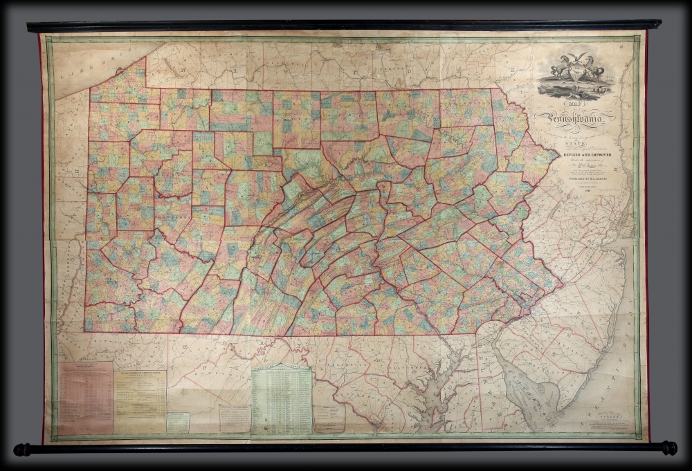
Map Of Pennsylvania, constructed from the County Surveys authorized by the State; and other original Documents.
$3,000.00
Acquire
A striking 1848 first edition example of William Ellis Morris' map of Pennsylvania. It reflects the dramatic transformation of Pennsylvania in the early 18th century when it became the hub of American coal production - the fuel for the Industrial Revolution in the United States. Although based on the 1822 Melish, this is a fully new production surpassing all previous maps of the state. (more details)
Separately-Issued Rarity of the Caribbean.
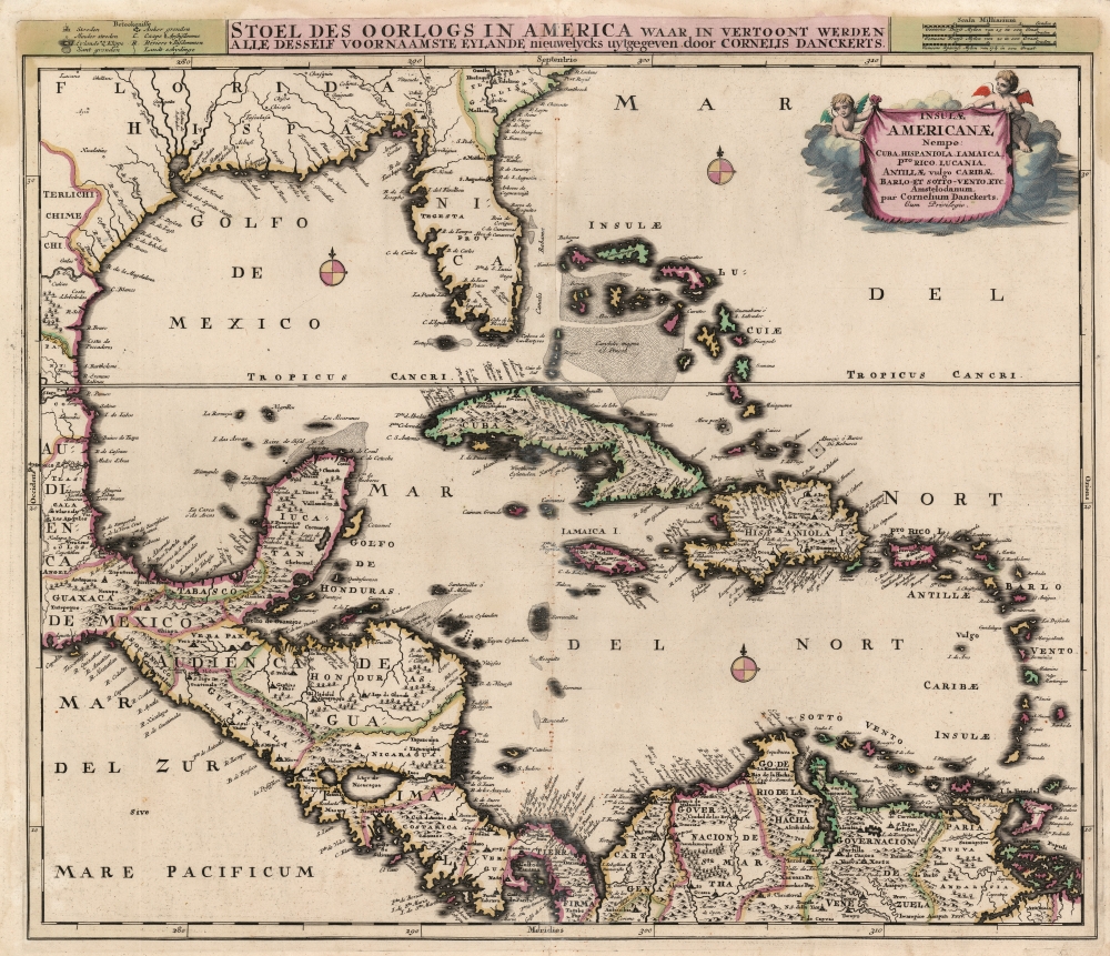
Insulae Americanae, Nempe: Cuba, Hispaniola, Jamaica, Pto Rico, Lucania, Antillae vulgo Caribae, Barlo -Et Sotto - Vento. Etc.
$2,000.00
Acquire
- Digital Map Information
- Suitable for large format printing
- Full resolution TIFF file
- ICC color profile embedded
- Delivered instantly via download link
This is Cornelius Danckerts' rare 1696 map of Florida, the West Indies, Central America, the Caribbean, and the Spanish Main. This map covers from Mexico to the Antilles and from Florida to the Spanish Main, inclusive of Cuba, the Bahamas, Hispaniola, Jamaica, Porto (Puerto) Rico, and the Lesser Antilles. It extends as far north as Georgia and South Carolina, here referred to as 'Florida Gallica'. (more details)
Crete and the Greek Islands, as known to the Ancients.
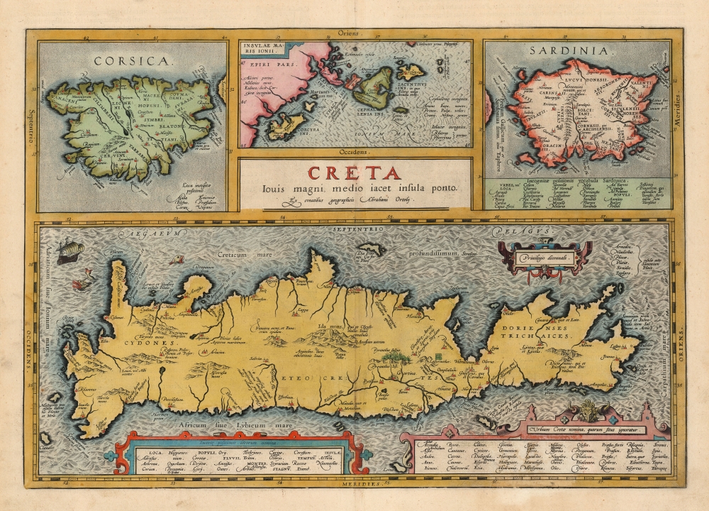
Creta Jovis magni medio iacet insula ponto.
$1,200.00
Acquire
- Digital Map Information
- Suitable for large format printing
- Full resolution TIFF file
- ICC color profile embedded
- Delivered instantly via download link
This is Abraham Ortelius' 1603 map of Crete and other Mediterranean islands as they were understood in antiquity and Greek mythology. The engraving is comprised of four separate maps of Corsica, Sardinia, the Ionian Islands, with Crete dominating all. The present example was published by Vrients, Ortelius' executor. The coloration of the atlases published by Vrients was unusually fine, so original color examples of Ortelius' maps of these editions are particularly desirable. (more details)
A WWII Era map you can, and should, write on.
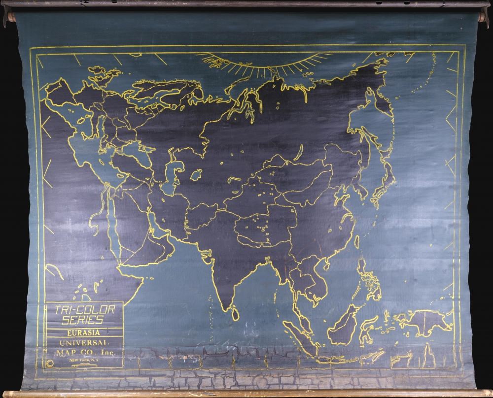
Tri-Color Series. Eurasia.
$950.00
Acquire
- Digital Map Information
- Suitable for large format printing
- Full resolution TIFF file
- ICC color profile embedded
- Delivered instantly via download link
This is a c. 1939 chalkboard map of Asia and Europe. It is a didactic tool designed for schoolroom use - students and teachers could write on the map with chalk then easily wipe it clean. (more details)
Coal Capital of the World.
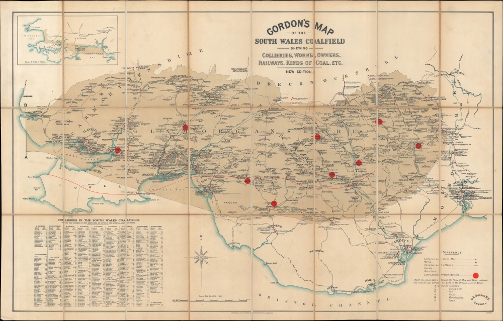
Gordon's Map of the South Wales Coalfield shewing Collieries, Works, Owners, Railways, Kinds of Coal, etc. New Edition.
$600.00
Acquire
- Digital Map Information
- Suitable for large format printing
- File Size: 24.04 MB
- File Type: ZIP / TIFF
- ICC color profile embedded
- Delivered instantly via download link
A comprehensive c. 1925 map of the coalfields and coal mining operations in South Wales, prepared by mining engineer George Edward Gordon and published by Waterlow. At this time, South Wales was one of the most (if not the most) prolific coal producing regions on the planet. (more details)
From Chickasaw Territory to Cotton Belt.
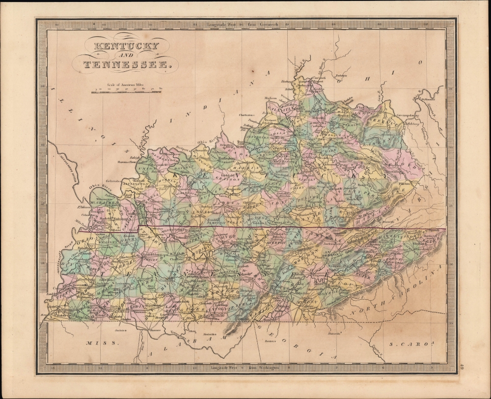
Kentucky and Tennessee.
$300.00
Acquire
- Digital Map Information
- Suitable for large format printing
- Full resolution TIFF file
- ICC color profile embedded
- Delivered instantly via download link
A hand-colored 1849 map of Kentucky and Tennessee by Jeremiah Greenleaf which appeared in his New Universal Atlas. (more details)
Follow Captain Cook's voyages.
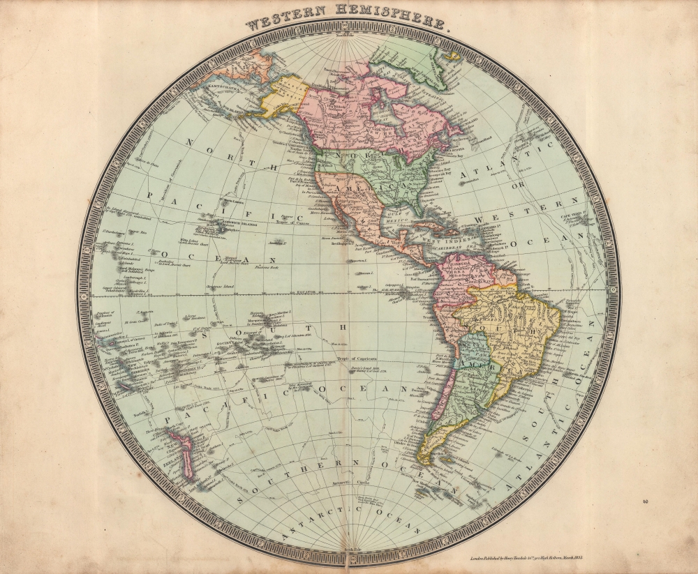
Western Hemisphere.
$250.00
Acquire
- Digital Map Information
- Suitable for large format printing
- DPI: 600
- File Size: 12.95 MB
- File Type: ZIP / TIFF
- ICC color profile embedded
- Delivered instantly via download link
This is a beautifully colored 1831 Henry Teesdale / John Dower map of the Western Hemisphere published in their A New General Atlas of the World. The map predates the Mexican-American War, thus the United States does not include the modern-day American Southwest or Texas. (more details)
Aftermath of Gran Colombia.
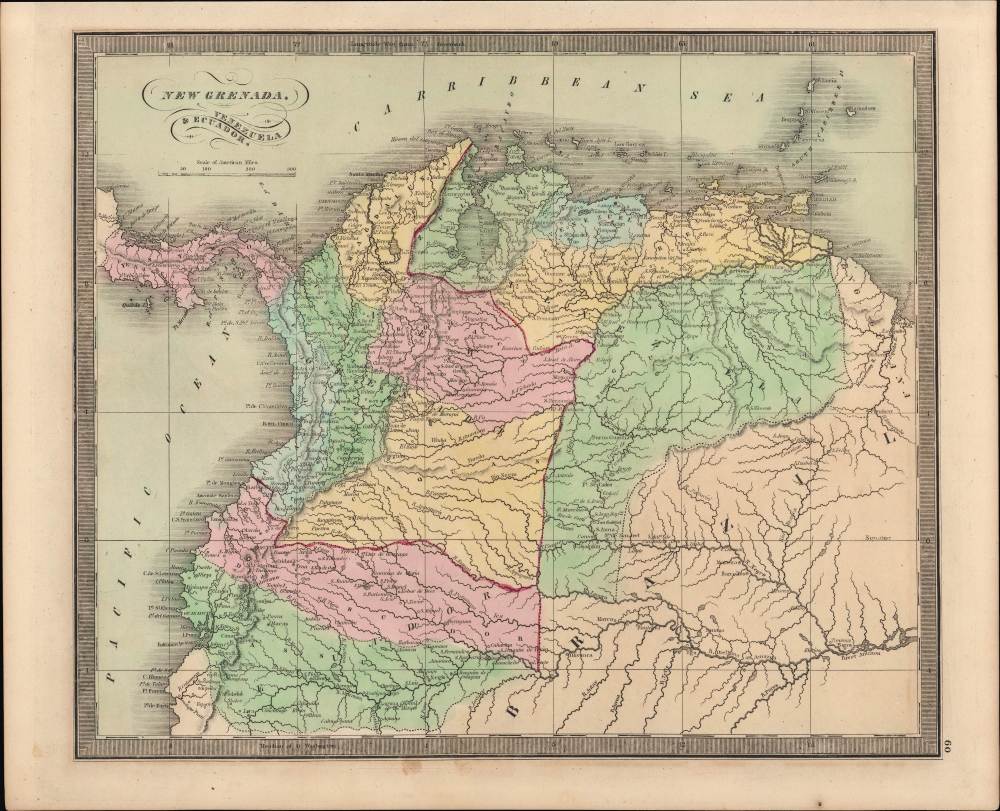
New Grenada, Venezuela, and Ecuador.
$200.00
Acquire
- Digital Map Information
- Suitable for large format printing
- Full resolution TIFF file
- ICC color profile embedded
- Delivered instantly via download link
An example of Jeremiah Greenleaf's 1849 map of New Grenada from his New Universal Atlas. It covers the northwestern portion of South America, taking in the present-day countries of Colombia, Venezuela, Ecuador, and Panama, along with portions of Brazil and Guyana. (more details)
Spectacular 18th century wall map published during the American Revolution.
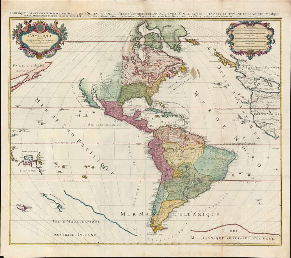
L'Amérique divisée en septentrionale et méridionale subdivisée en ses principales parties. / L'Amérique divisée en ses principales parties sçavoir dans la Septentrionale les Terres Arctiques, le Canada ou Nouvelle France, la Floride, la Nouvelle Espagne et le Nouveau Mexique ; dans la Méridionale la Terre Ferme, le Pérou, le Chili, la Terre Magellanique, le Paraguay, le Brésil. Les isles de Terre Neuve, Antilles, Magellaniques et de Californie.
$9,000.00
Acquire
- Digital Map Information
- Suitable for large format printing
- Full resolution TIFF file
- ICC color profile embedded
- Delivered instantly via download link
A spectacular 1782 wall map of North America and South America issued at the height of the American Revolutionary War, by Louis Charles Desnos, after Alexis-Hubert Jaillot. The map captures French ambitions to reclaim its American territories in the wake of the American Revolution. It also features the wealth of cartographic speculation of the era, including an unexplored Pacific Northwest and Arctic. The lower quadrants also reveal vestiges of the 16th century Terre Australis - the mythical southern continent disproven by Cook's first two voyages (His third voyage returned in 1880, but information about its discoveries had not yet been disseminated). (more details)
Dominant early 18th century chart of northeastern America.
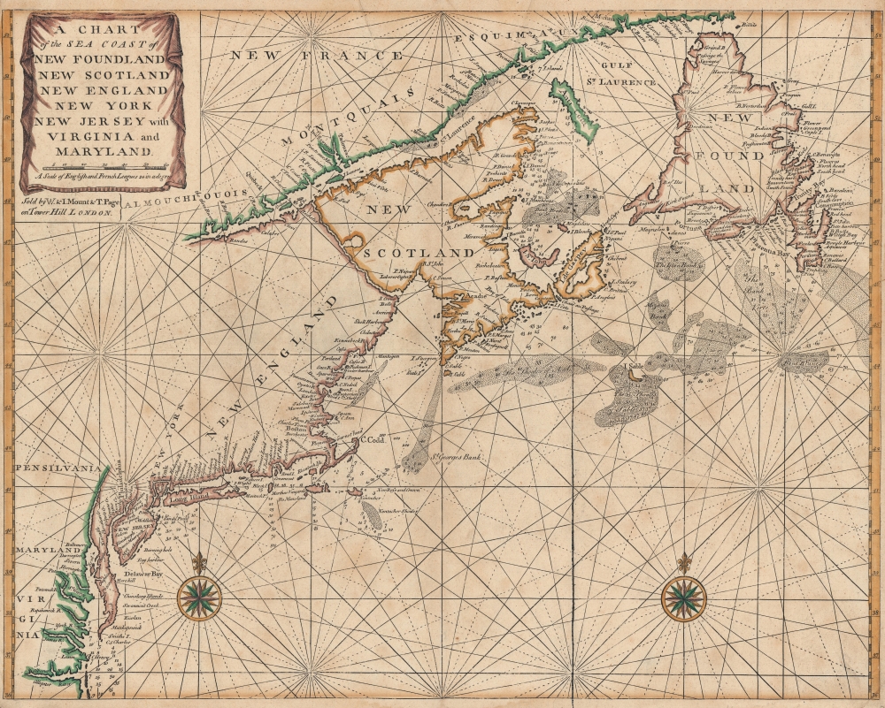
A Chart of the Sea Coast of New Foundland, New Scotland, New England, New York, New Jersey, with Virginia and Maryland.
$1,500.00
Acquire
- Digital Map Information
- Suitable for large format printing
- DPI: 600
- File Size: 25.77 MB
- File Type: ZIP / TIFF
- ICC color profile embedded
- Delivered instantly via download link
A very attractive c. 1750 example of John Thornton and Mount and Page's important nautical chart or maritime map of the eastern coast of North America from Cape Henry to the Mouth of the St. Lawrence. (more details)
End of the Edwardian Era, dawn of the Victorian.
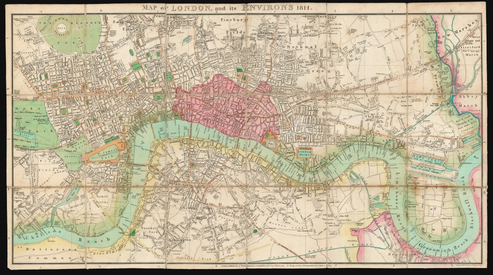
Map of London, and its Environs 1814.
$1,500.00
Acquire
- Digital Map Information
- Suitable for large format printing
- DPI: 600
- File Size: 72.21 MB
- File Type: ZIP / TIFF
- ICC color profile embedded
- Delivered instantly via download link
This is a scarce, folding map of London published in 1814 by J. M. Richardson to accompany John Lockie's Gazetteer, Topography of London. (more details)
Texas, by a Californian schoolboy.
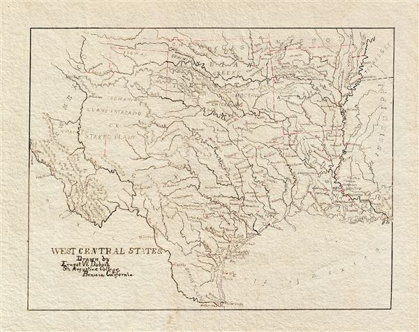
West Central States. Drawn by Ernest W. Dubois, St. Augustine College, Benicia, California.
$550.00
Acquire
- Digital Map Information
- Suitable for large format printing
- File Size: 4.79 MB
- File Type: ZIP / TIFF
- ICC color profile embedded
- Delivered instantly via download link
An attractive manuscript schoolboy / schoolgirl map of Texas by Ernest W. DuBois. Entitled the 'West Central States,' this map in fact focuses primarily on Texas with the adjacent Indian Territory (Oklahoma), Louisiana, and Arkansas also included. The map is finely drawn throughout with great attention to rivers and town placement. No counties are identified. (more details)
The Height of 19th Century Hydrography.
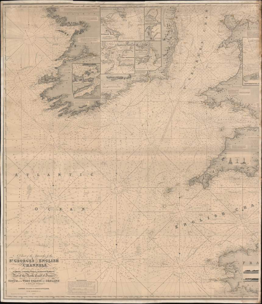
A Chart of the Approaches to the St. George's and English Channels showing the navigation from 47°43 N. Lat. and 11°28 W. Long. to Bristol, Liverpool, and Dublin, Falmouth and Plymouth; Part of the North Coast of France, and the South and West Coasts of Ireland to Cork and Galway.
$500.00
Acquire
- Digital Map Information
- Suitable for large format printing
- File Size: 78.18 MB
- File Type: ZIP / TIFF
- ICC color profile embedded
- Delivered instantly via download link
An unrecorded blueback nautical chart / map of St. George's Channel and the western portion of the English Channel, published by Norie and Wilson in 1894. (more details)