
NEW ACQUISITIONS
Highlights the Republic of Texas and is one of the earliest non-American maps to illustrate the Republic.
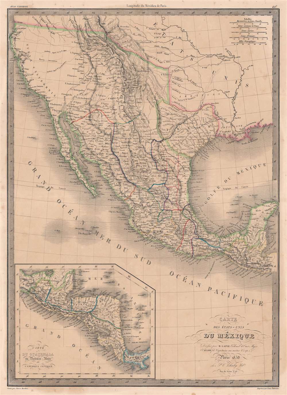
Carte des États-Unis du Méxique.
$600.00
Acquire
- Digital Map Information
- Suitable for large format printing
- DPI: 600
- File Size: 54.18 MB
- File Type: ZIP / TIFF
- ICC color profile embedded
- Delivered instantly via download link
This is an 1838 Pierre and Alexandre Lapie map of Mexico and the southwestern United States and is also one of the earliest non-American maps to include the Republic of Texas - anticipating the pending 1839 French official recognition of Texas. The Republic of Texas is bordered in yellow, highlighting its existence. Mexico is bordered in green, with its borders extending from the Yucatan to the Oregon Territory encompassing all of California and the other southwestern states. States within Mexico are labeled and bordered by thin lines of varying colors to allow for easy differentiation.
Cities and towns throughout Mexico are identified, including Mexico City, Cuernavaca, Veracruz, and Oaxaca, with Santa Fe, San Francisco, Monterey, Santa Barbara, and San Diego marked in northern Mexico, now the United States. Several Indian tribes are identified in northern Mexico, including the Apaches. A large portion of this region between the Rocky Mountains and the Pacific Coast is labeled as 'unknown'. Both the Great Salt Lake, identified as Lake Timpanogos, and Utah Lake, labeled as Lake Teguayo, are illustrated following the example of Humboldt. The apocryphal Buenaventura River is also included and is illustrated as connecting from Lake Teguayo to the Pacific Ocean, the final incarnation of the long-sought River of the West, a speculative alternative to the Northwest Passage. In the United States (as it existed in 1838) only rivers are illustrated, and a handful of Indian tribes are referenced. An inset map of Central America is situated in the lower left corner and depicts the region from the Yucatan to Chagres, Panama (labeled Colombie). (more details)
Cities and towns throughout Mexico are identified, including Mexico City, Cuernavaca, Veracruz, and Oaxaca, with Santa Fe, San Francisco, Monterey, Santa Barbara, and San Diego marked in northern Mexico, now the United States. Several Indian tribes are identified in northern Mexico, including the Apaches. A large portion of this region between the Rocky Mountains and the Pacific Coast is labeled as 'unknown'. Both the Great Salt Lake, identified as Lake Timpanogos, and Utah Lake, labeled as Lake Teguayo, are illustrated following the example of Humboldt. The apocryphal Buenaventura River is also included and is illustrated as connecting from Lake Teguayo to the Pacific Ocean, the final incarnation of the long-sought River of the West, a speculative alternative to the Northwest Passage. In the United States (as it existed in 1838) only rivers are illustrated, and a handful of Indian tribes are referenced. An inset map of Central America is situated in the lower left corner and depicts the region from the Yucatan to Chagres, Panama (labeled Colombie). (more details)
Translating geographic knowledge in Humboldt's wake.
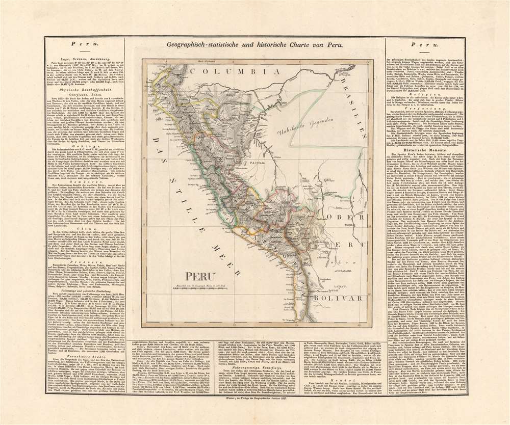
Peru.
$550.00
Acquire
- Digital Map Information
- Suitable for large format printing
- DPI: 600
- File Size: 57.42 MB
- File Type: ZIP / TIFF
- ICC color profile embedded
- Delivered instantly via download link
This is an 1827 German edition of Matthew Carey and Isaac Lea's map of Peru, published in Weimar by the Geographischen Instituts. It is an early map, among the first in German, of Peru following its independence, which had only been secured the previous year. (more details)
Printed on wax paper!
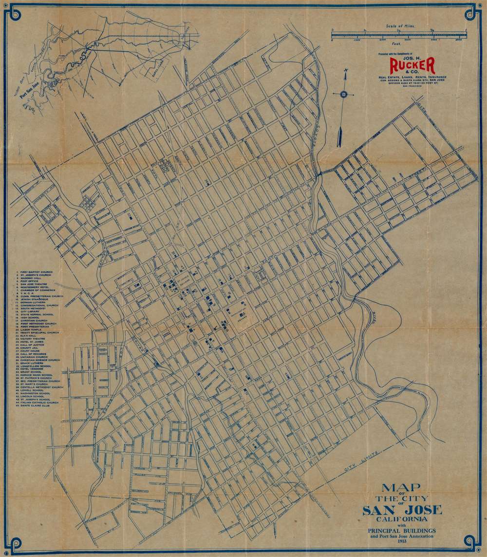
Map of the City of San Jose California with Principal Buildings and Port San Jose Annexation.
$350.00
Acquire
- Digital Map Information
- Suitable for large format printing
- Full resolution TIFF file
- ICC color profile embedded
- Delivered instantly via download link
This is a 1913 Melvin and Murgotten city plan or map of San Jose, California, printed on wax paper. Forty-five locations are numerically identified and correspond with an index along the left border. Among these are schools, churches, theaters, the Y.M.C.A., and the city library. Streets are illustrated and labeled throughout the city. Both the Coyote River and the Guadeloupe Los Gatos Creek appear as well. (more details)
The Russian Empire sets its sights on Central Asia
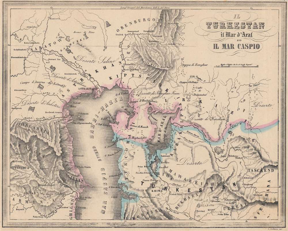
Il Turkestan il Mar d'Aral ed il Mar Caspio.
$350.00
Acquire
- Digital Map Information
- Suitable for large format printing
- File Size: 21.21 MB
- File Type: ZIP / TIFF
- ICC color profile embedded
- Delivered instantly via download link
A thorough Italian language map of Central Asia (Turkestan) produced by Francesco Marmocchi for his 1858 work Il Globo Atlante di Carte Geografiche. It portrays the vicinity of the Caspian and Aral Seas at a time when the Russian Empire was beginning a methodical conquest of the entire region. (more details)
Includes the mythical Laguna de Xarayes - the supposed gateway to El Dorado.
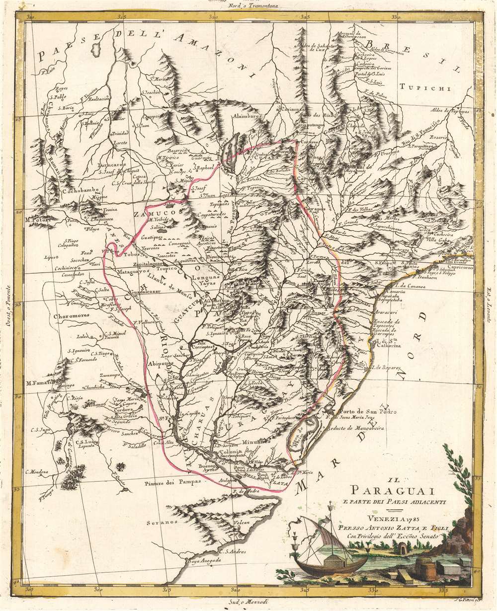
Il Paraguai E Parte Dei Paesi Adiacenti.
$350.00
Acquire
- Digital Map Information
- Suitable for large format printing
- DPI: 600
- File Size: 26.34 MB
- File Type: ZIP / TIFF
- ICC color profile embedded
- Delivered instantly via download link
A beautiful example of Antonio Zatta's 1785 map of Paraguay. The map embraces the Rio de la Plata watershed well into Brazil and the Amazon, and includes the modern-day nations of Uruguay, Paraguay, and parts of adjacent Brazil and Argentina. Rich detail is offered throughout, naming mountains, rivers, national boundaries, cities, regions, and indigenous tribes. Identifies Asuncion, Buenos Aires, Rio de Janeiro, and numerous other important South American cities. (more details)
Southern Africa before the Scramble for Africa.
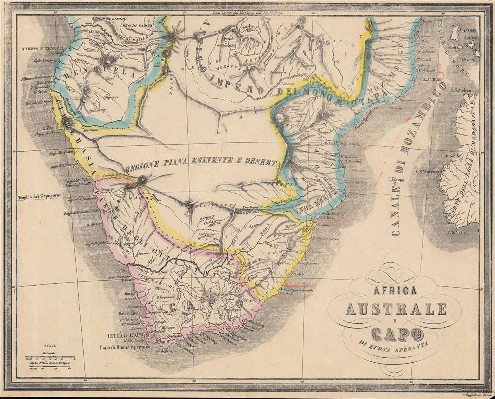
Africa Austale e Capo di Buona Speranza.
$250.00
Acquire
- Digital Map Information
- Suitable for large format printing
- File Size: 22.73 MB
- File Type: ZIP / TIFF
- ICC color profile embedded
- Delivered instantly via download link
A nicely hand-colored Italian language map of southern Africa by Francesco Marmocchi, made for his 1858 work Il Globo Atlante di Carte Geografiche. It portrays the region at a time when explorers and European-descended settlers were moving further into the interior, presaging even greater changes in the following decades. (more details)
Italians reacquainting themselves with China.
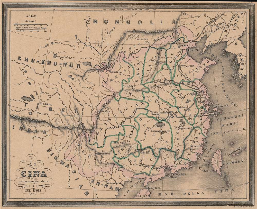
La Cina propriamente della Sue Isole.
$250.00
Acquire
- Digital Map Information
- Suitable for large format printing
- File Size: 24.75 MB
- File Type: ZIP / TIFF
- ICC color profile embedded
- Delivered instantly via download link
A rare Italian map of China, produced by Francesco Marmocchi for his 1858 work Il Globo Atlante di Carte Geografiche. It depicts the provinces of 'China proper' along with major geographic features and human-made structures such as the Great Wall. (more details)
Glittering Southern California.
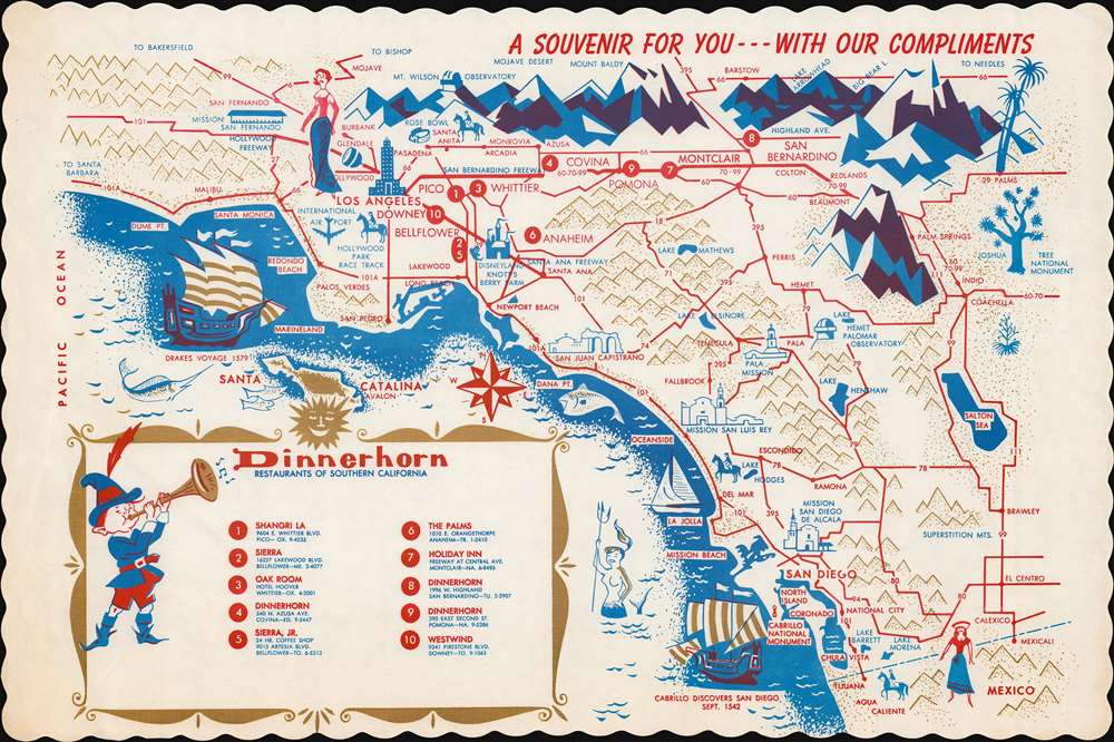
A Souvenir for You - - - With Our Compliments.
$125.00
Acquire
This is a c. 1964 Dinnerhorn Restaurants pictorial placemat map of southern California. Depicting from San Fernando south to Mexico, pictorial vignettes highlight important sites from Los Angeles to San Diego. Missions, observatories, major lakes, and important mountain peaks are all illustrated. Modern tourist attractions, such as Disneyland and the Rose Bowl, are labeled as well. Sailing ships in the Pacific reference Drake's 1579 voyage along the West Coast and Cabrillo's discovery of San Diego in 1542. Shiny gold-colored ink embellishes the piece, adding an unusual detail to an already charming work. (more details)
Holy Grail Map - 1st Map of the North Pole.
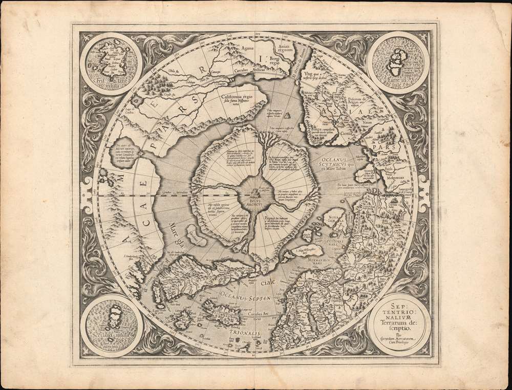
Septentrionalium Terrarum descriptio.
$30,000.00
Acquire
- Digital Map Information
- Suitable for large format printing
- Full resolution TIFF file
- ICC color profile embedded
- Delivered instantly via download link
This is the first edition, first state of Gerard Mercator's seminal 1595 map of the Arctic, the great cartographer's most interesting and important atlas map. In this first edition, it is the scarcest of Mercator's atlas maps and a holy grail for any Arctic collector. For all its flaws and inaccuracies, it is a schematized interpretation of factual voyages between Norway, England, Iceland, Greenland, and Labrador (Markland). (more details)
Save the giant sequoias!
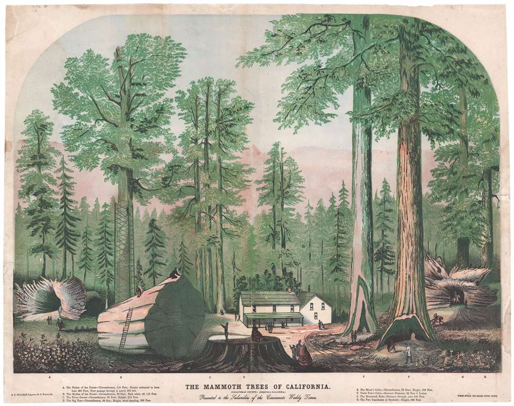
The Mammoth Trees of California. (Calaveras County.) (Sequoia Gigantea.)
$1,500.00
Acquire
- Digital Map Information
- Suitable for large format printing
- File Size: 35.04 MB
- File Type: ZIP / TIFF
- ICC color profile embedded
- Delivered instantly via download link
This is a c. 1870 George K. Stillman view of the giant sequoia trees at Calaveras Grove, Calaveras County, California. The grove depicted here is now part of Calaveras Big Trees State Park, the home to some of the oldest and largest surviving great sequoias. (more details)
Sweden at the Height of Empire.
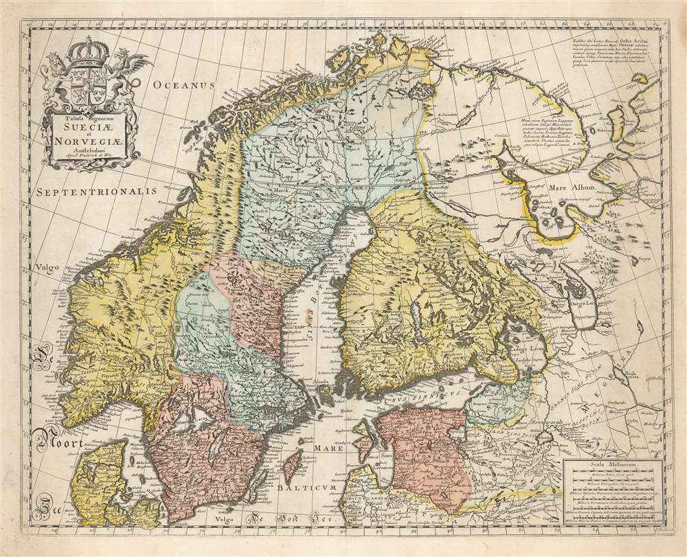
Tabula Regnorum Sueciae et Norvegiae.
$950.00
Acquire
- Digital Map Information
- Suitable for large format printing
- DPI: 600
- File Size: 63.66 MB
- File Type: ZIP / TIFF
- ICC color profile embedded
- Delivered instantly via download link
This is Frederick de Wit's map of Scandinavia. It is based on Anders Bure's 1626 mapping of the region, which swiftly became the dominant mapping of the northern parts of Europe and was not replaced as an authority for more than a century. On the strength of his seminal map and its long tenure as the state-of-the-art map of the northern regions of Europe, Bure is hailed as the Father of Swedish Cartography. The scope of the map includes Denmark, Norway, the greater Swedish Empire, the Baltic coasts of Germany, Poland and Livonia, and the Russian Empire - including 'Lapponia Moscovitica,' the portions of Lapland occupied by Russia. (more details)
Giving hope to the revolutionary cause.
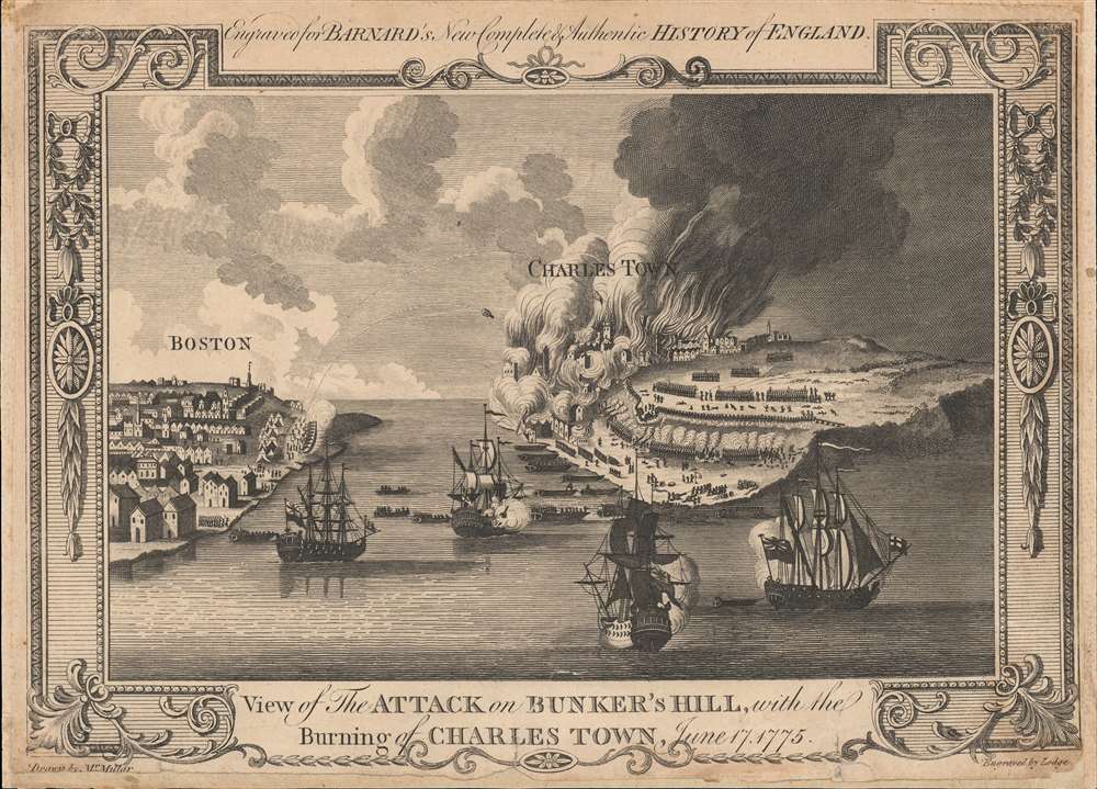
View of the Attack on Bunker's Hill, with the Burning of Charles Town, June 17, 1775.
$800.00
Acquire
- Digital Map Information
- Suitable for large format printing
- DPI: 600
- File Size: 7.65 MB
- File Type: ZIP / TIFF
- ICC color profile embedded
- Delivered instantly via download link
One of the earliest obtainable views of the 1775 American Revolutionary War (1775 - 1783) Battle of Bunker Hill. Published in 1783, this view illustrates the June 17, 1775, Battle of Bunker Hill, near Boston, one of the first and most significant battles of the war. (more details)
Preparing for a Post-War World.
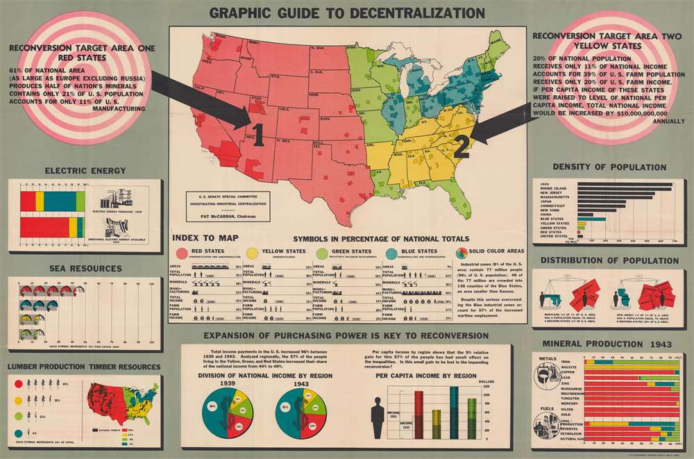
Graphic Guide to Decentralization.
$650.00
Acquire
- Digital Map Information
- Suitable for large format printing
- Full resolution TIFF file
- ICC color profile embedded
- Delivered instantly via download link
This is a 1944 map of industrial centralization in the United States created for the U.S. Senate Special Committee Investigating Industrial Centralization. Created near the end of World War II, this map represents government preparations for a post-war United States. Such efforts involved the complex task of reintegrating the rapid industrial expansion instigated by the war into the private-market economy. (more details)
The height of the California Gold Rush.
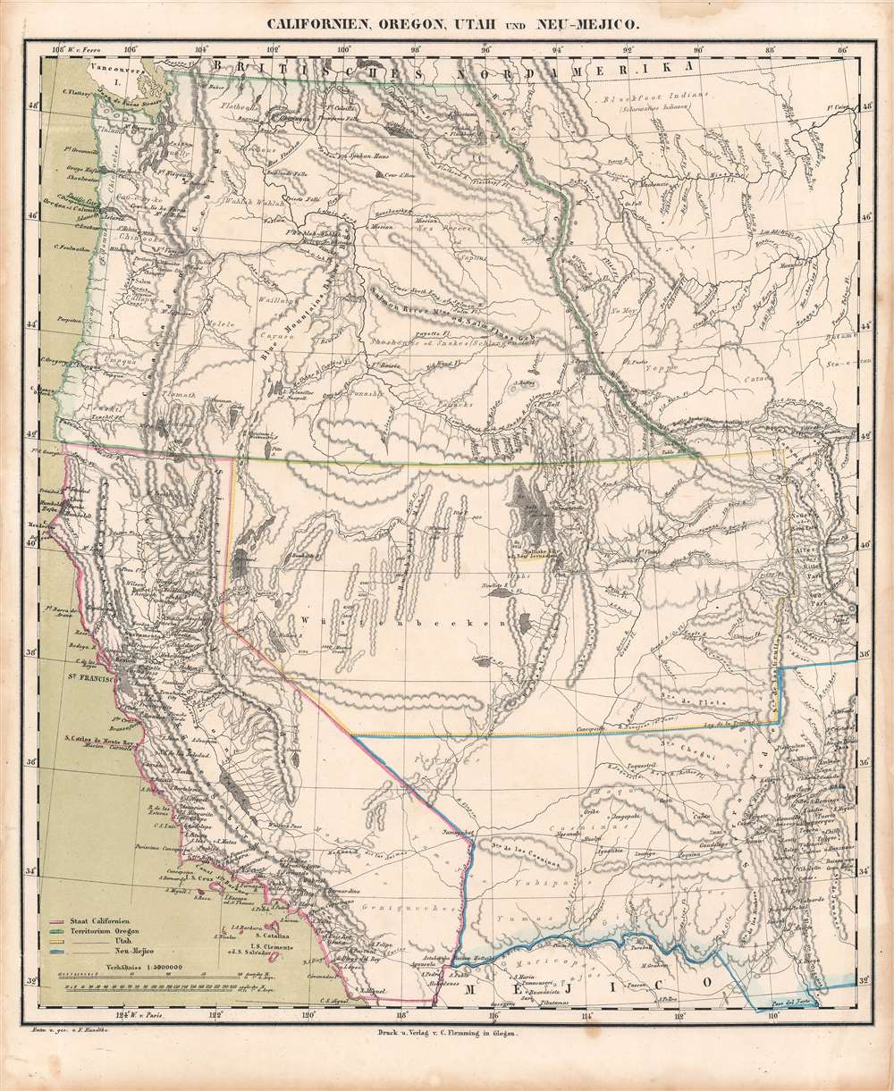
Californien, Oregon, Utah, und Neu-Mejico.
$600.00
Acquire
- Digital Map Information
- Suitable for large format printing
- DPI: 600
- File Size: 28.89 MB
- File Type: ZIP / TIFF
- ICC color profile embedded
- Delivered instantly via download link
This is a c. 1850 Friedrich Handtke and Carl Flemming map of the western United States at the height of the California Gold Rush. This map was issued soon after California became a state. Coverages extends from the Pacific Ocean to the Rocky Mountains and from Canada to Mexico. (more details)
Securing Union control of New Orleans.
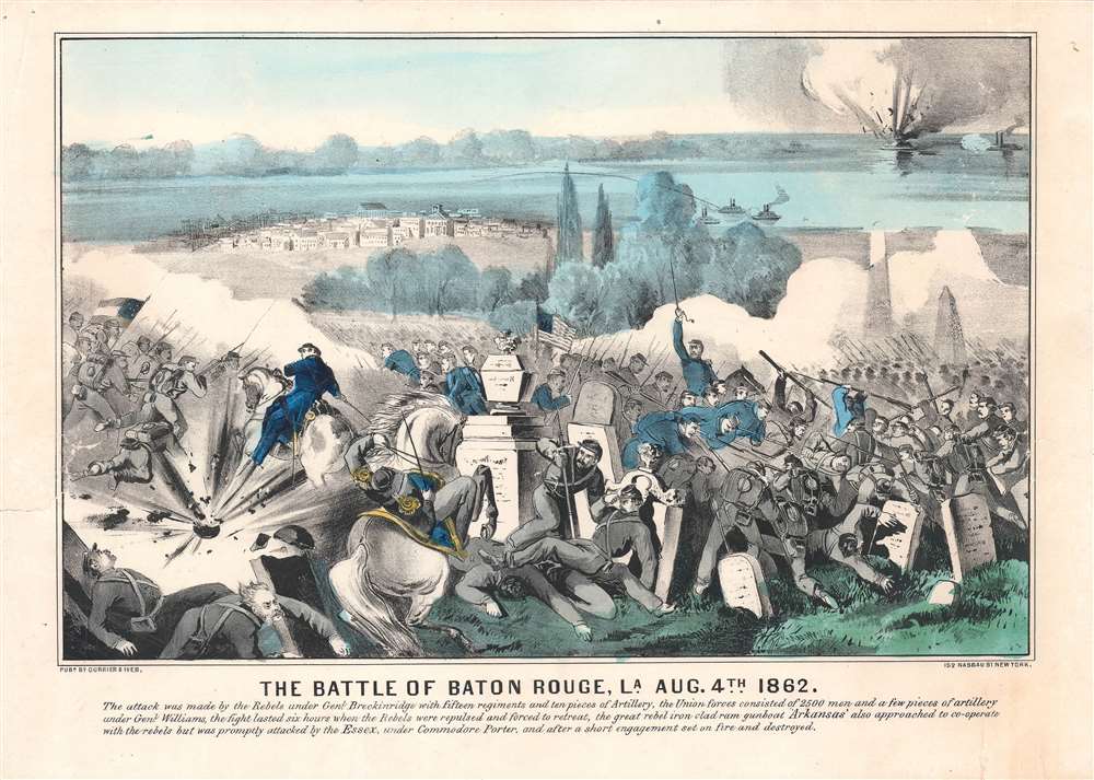
The Battle of Baton Rouge, La., Aug. 4th 1862.
$600.00
Acquire
- Digital Map Information
- Suitable for large format printing
- File Size: 20.89 MB
- File Type: ZIP / TIFF
- ICC color profile embedded
- Delivered instantly via download link
This is Nathaniel Currier and James Ives' view of the Battle of Baton Rouge fought on August 5, 1862 (not August 4 as stated here), during the American Civil War (1861 - 1865). Though the Union commander, Gen. Thomas Williams, was killed in the battle, the city was successfully defended from a Confederate attack, securing Union control of New Orleans. (more details)
Early 18th century map or plan of Boston, Massachusetts.

Plan de la Ville de Boston et ses Environs.
$500.00
Acquire
- Digital Map Information
- Suitable for large format printing
- DPI: 600
- File Size: 9.06 MB
- File Type: ZIP / TIFF
- ICC color profile embedded
- Delivered instantly via download link
This is a striking 1757 Jacques-Nicolas Bellin map of Boston, Massachusetts. Coverage embraces the Shawmut Peninsula of Boston with nearby Charestown across the harbor. The isle ronde is situated along the right side with a windmill (moulin) labeled. An artillery battery protects the road into Charles Town. Sixteen locations around Boston are marked alphabetically and correspond with an index to the left. Among the locations notes are churches, three artillery batteries, and the powder magazine. Just three depth soundings are noted in Boston Harbor. (more details)
Rare relief map of Hong Kong.
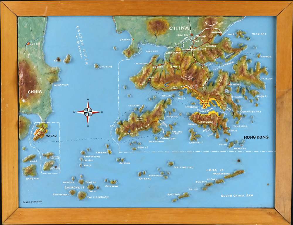
[Hong Kong].
$1,500.00
Acquire
A most curious c. 1975 relief map of Hong Kong created by Chung-to Lo of the Kowloon-based Relief Map Service. Centered on Lan Tao, coverage extends to all of Hong Kong, the New Territories, and Kowloon, reaching as far as Macau, and north to Mount Tung Shan. The map is made of plaster bonded to fiberboard, with a maximum elevation of about 3cm. Topography is precisely hand molded, with terrain, major roads, trains, and placenames hand painted. The map is embraced in its original frame, with the 'Lo Chung To Relief Map Service' placard on the verso. (more details)
Identifies the Ouisconsin (Wisconsin) Territory before its official creation.
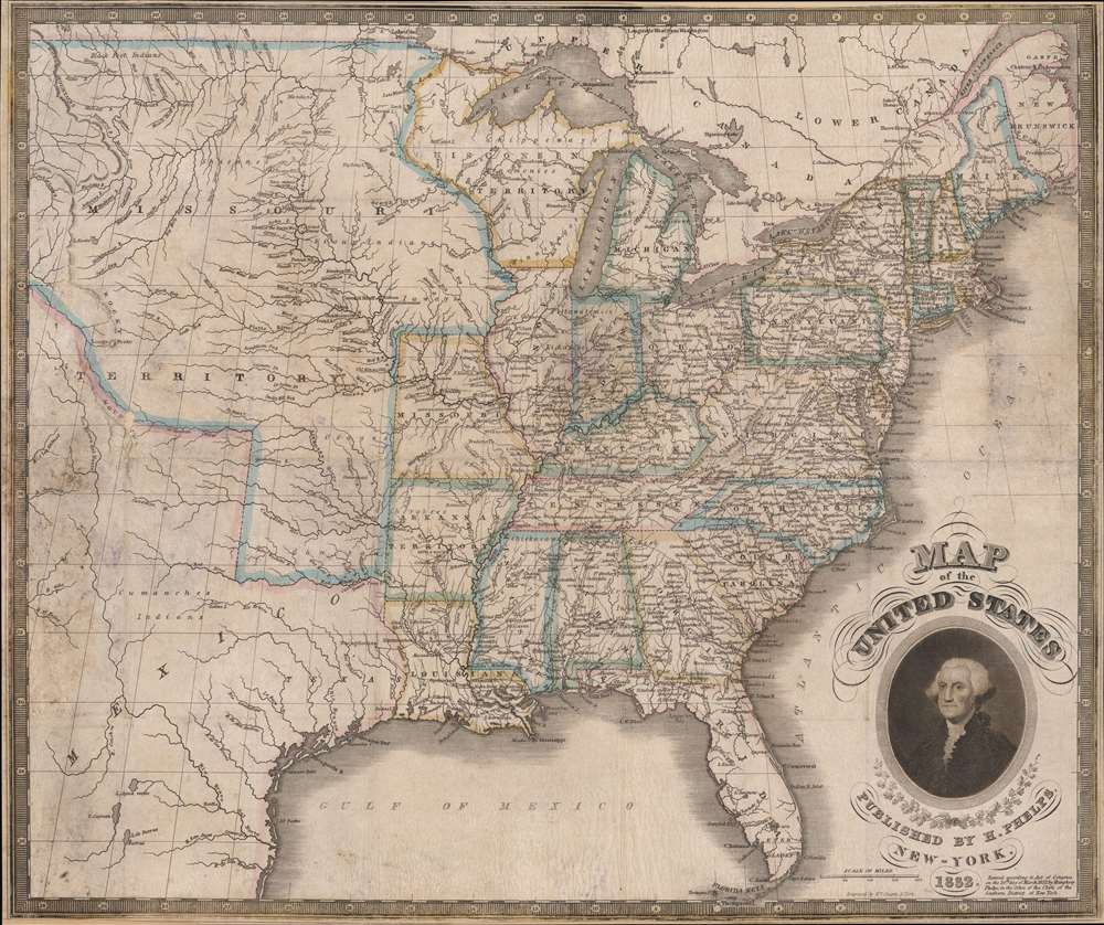
Map of the United States.
$1,250.00
Acquire
- Digital Map Information
- Suitable for large format printing
- Full resolution TIFF file
- ICC color profile embedded
- Delivered instantly via download link
This is an 1832 Humphrey Phelps map of the United States with a dramatic portrait of George Washington. Coverage extends from the Atlantic Ocean to the Rocky Mountains. (more details)
Issued for the Civil War - one of just two known examples.
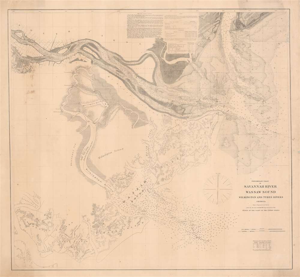
Preliminary Chart of Savannah River Wassaw Sound Wilmington and Tybee Rivers Georgia.
$1,200.00
Acquire
- Digital Map Information
- Suitable for large format printing
- File Size: 47.3 MB
- File Type: ZIP / TIFF
- ICC color profile embedded
- Delivered instantly via download link
An exceptionally rare separate issue c. 1862 Civil War Era U.S. Coast Survey nautical chart or map of the Savannah River and surrounding waters. This chart combines existing surveys of the Savannah River with separate charts prepared of the Wassaw Sound and the Wilmington and Tybee Rivers. Given the presentation on heavier stock and the maps relative rarity, it is likely this was a separate issue prepared for naval action early in the American Civil War (1861 - 1865). (more details)
Promoting steamship travel in Narragansett Bay.
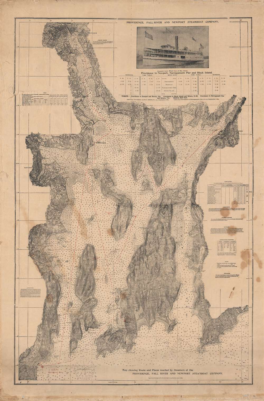
Map showing Route and Places reached by Steamers of the Providence, Fall River and Newport Steamboat Company.
$950.00
Acquire
- Digital Map Information
- Suitable for large format printing
- File Size: 78.66 MB
- File Type: ZIP / TIFF
- ICC color profile embedded
- Delivered instantly via download link
This is a rare c. 1902 chart and map of Narragansett Bay and surrounding communities, published to promote the Providence, Fall River and Newport Steamboat Co. Based upon U.S. Coast survey charts, it provides exquisite detail on the bay's waters, islands, shoreline, and other features. (more details)