
NEW ACQUISITIONS
No More Gold, but Plenty of Other Stuff in Them there Hills.
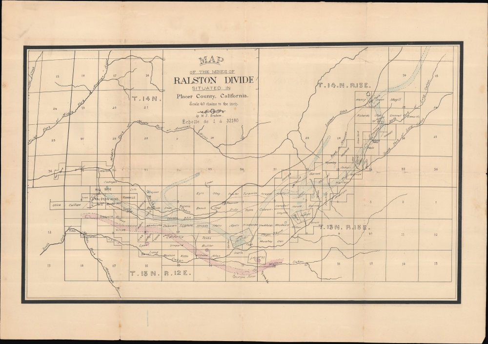
Map of the Mines of Ralston Divide situated in in Placer County, California.
$1,200.00
Acquire
- Digital Map Information
- Suitable for large format printing
- Full resolution TIFF file
- ICC color profile embedded
- Delivered instantly via download link
An unrecorded 1899 survey and plat map of the Ralston Divide in Placer County, California, prepared by William S. Graham, the County Surveyor. This area was ground zero for the gold rush in the middle of the 19th century; by the century's end, the easily accessible gold was long gone, but other valuable minerals remained, especially quartz, which prompted the present map. (more details)
Indigenous Americans and the Water Wars.
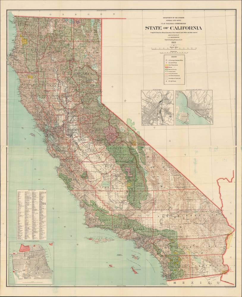
State of California compiled from the official Records of the General Land Office and other sources.
$950.00
Acquire
- Digital Map Information
- Suitable for large format printing
- Full resolution TIFF file
- ICC color profile embedded
- Delivered instantly via download link
An epic two-sheet 1913 wall map of California, standing nearly five feet tall, compiled by Andrew Dinsmore of the General Land Office. The map illustrates California's complex interrelations with indigenous peoples and water supply. (more details)
Philippines under Japanese Occupation.
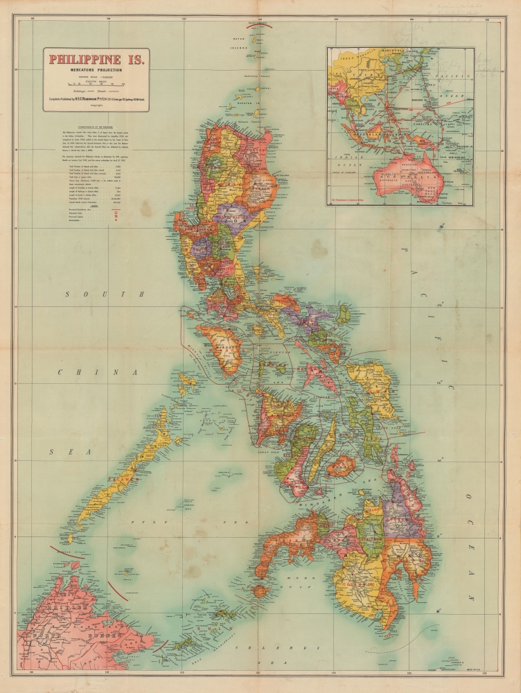
Philippine Is.
$950.00
Acquire
- Digital Map Information
- Suitable for large format printing
- Full resolution TIFF file
- ICC color profile embedded
- Delivered instantly via download link
A colorful, large-format 1942 map of the Philippine Islands by H.E.C. Robinson, published soon after the islands' capture by Japanese forces in the opening phase of the Pacific War during World War II (1939 - 1945). The map was likely intended to capitalize on Australian interest in the war's progress as Imperial Japanese forces moved unceasingly towards Australia. (more details)
Signed by Paul Tibbets - the Pilot of the Enola Gay, the B-29 that Dropped the Atomic Bomb on Hiroshima.
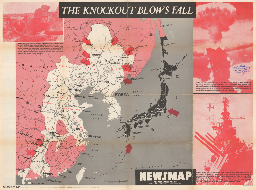
NEWSMAP For the Armed Forces. V-E Day + 15 Weeks - 192nd Week of U.S. Participation in the War.
$950.00
Acquire
- Digital Map Information
- Suitable for large format printing
- Full resolution TIFF file
- ICC color profile embedded
- Delivered instantly via download link
This is the chilling Atomic Bomb issue from the iconic World War II Newsmap series. It was issued in 1945, days after the bombing of Hiroshima and Nagasaki, and one week before the Japanese announced their surrender to the Allies to end the Pacific War and World War II (1939 - 1945). The present example is signed by Paul Tibbets, the pilot of the Enola Gay, the B-29 that dropped the atomic bomb codenamed 'Little Boy' on Hiroshima, Japan, on August 6, 1945. (more details)
Tourism from Chilkat, Alaska, to San Diego, California.
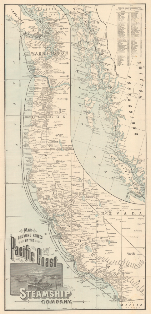
Map Showing Routes of the Pacific Coast Steamship Company.
$800.00
Acquire
- Digital Map Information
- Suitable for large format printing
- Full resolution TIFF file
- ICC color profile embedded
- Delivered instantly via download link
This is a scarce 1894 Rand McNally map of the Pacific Coast of North America, produced to promote tourism and travel with the Pacific Coast Steamship Company just a few years before the Klondike Gold Rush (1896 - 1898). The map illustrates the Pacific Coast from the Mexican border to British Columbia and Vancouver Island; an inset details the route north to 'Mousouah Lake' (Mosquito Lake) in Alaska. (more details)
Estonia and Latvia as the Swedish Frontier
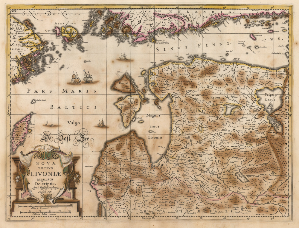
Nova Totius Livoniae accurata Descriptio. Apud Janssonio Waesbergios et Mosem Pitt.
$750.00
Acquire
- Digital Map Information
- Suitable for large format printing
- Full resolution TIFF file
- ICC color profile embedded
- Delivered instantly via download link
A beautifully engraved map of Livonia and the Duchy of Estonia - encompassing much of modern Latvia and Estonia - originally published in Jan Jansson's Atlas and revised for inclusion in Moses Pitt's rare 1680 English Atlas. Derived from Anders Bure's seminal map of the Swedish Empire, it depicts the region during Swedish rule following Sweden's victories over the Polish-Lithuanian Commonwealth. Sweden retained Estonia and Livonia until its defeat by Russia in the Great Northern War (1700 - 1721). (more details)
The Roman Capital of Dalmatia in the early Christian Era.
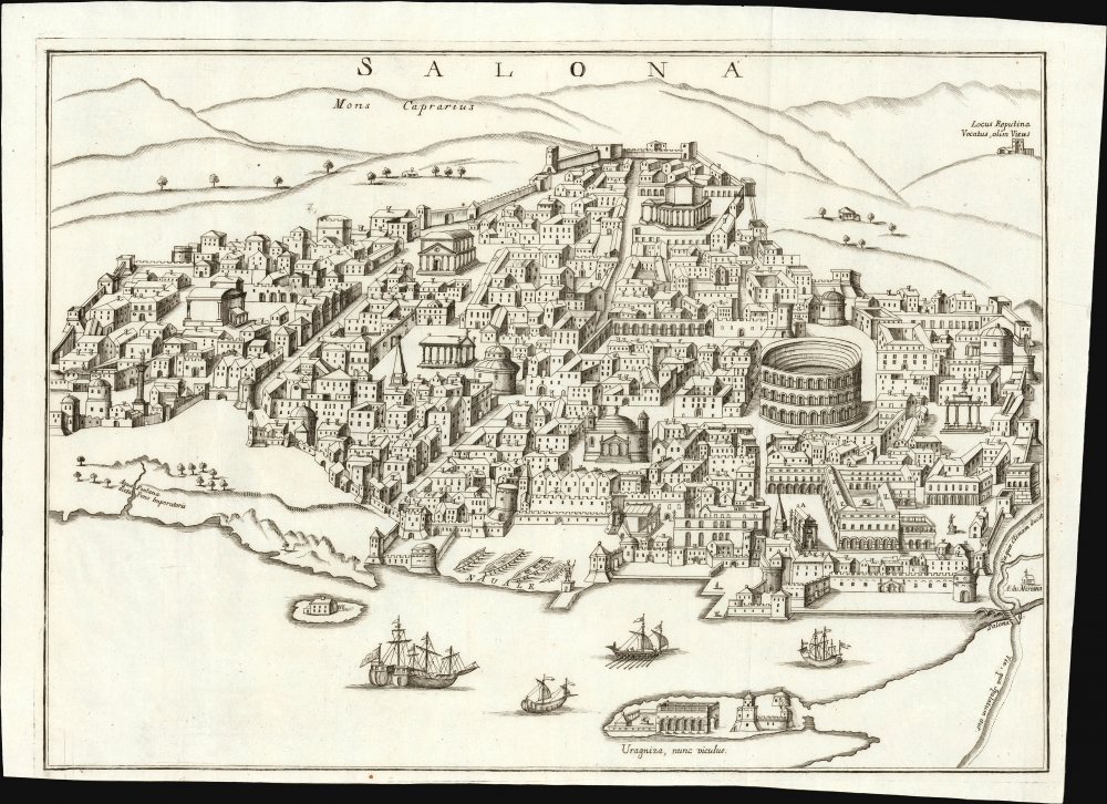
Salona.
$750.00
Acquire
- Digital Map Information
- Suitable for large format printing
- Full resolution TIFF file
- ICC color profile embedded
- Delivered instantly via download link
This is Daniele Farlati's rare 1751 bird's-eye view of ancient Salona, now Solin, in Croatia. Though now a suburb of Split, in the 5th century it was the capital not only of the Roman province of Dalmatia but also the seat of Julius Nepos, the last western Roman Emperor, making it the de facto capital of the Western Roman Empire. By that time, Salona had also become a key early center for Christianity. So, the city was a primary focus for the first two volumes of Farlati's ecclesiastical history of Illyricum. (more details)
Among the Earliest Acquirable Contemporary Maps of the Baltic Coast.
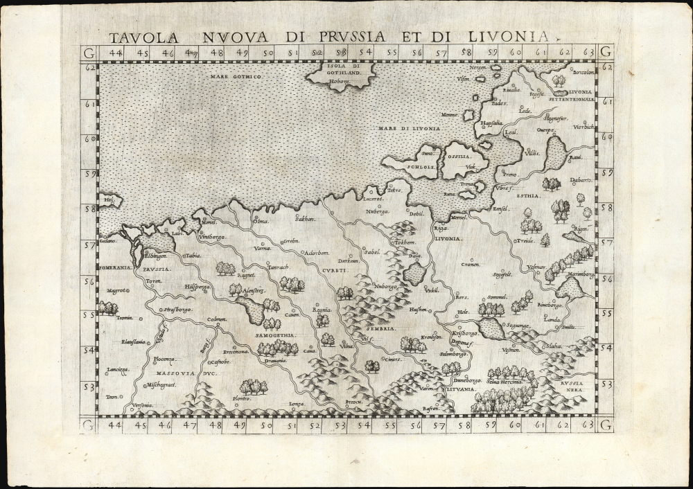
Tavola nuova di Prussia et di Livonia.
$650.00
Acquire
- Digital Map Information
- Suitable for large format printing
- Full resolution TIFF file
- ICC color profile embedded
- Delivered instantly via download link
This is the 1561 first Ruscelli edition of Giacomo Gastaldi's map of the Baltic Coast of Prussia and Livonia, now the coastline of Poland, Lithuania, Latvia, and Estonia. It is among the earliest detailed maps of this part of the world based on contemporary geographical knowledge, particularly with respect to the Gulf of Riga. (more details)
'Forever Wild'
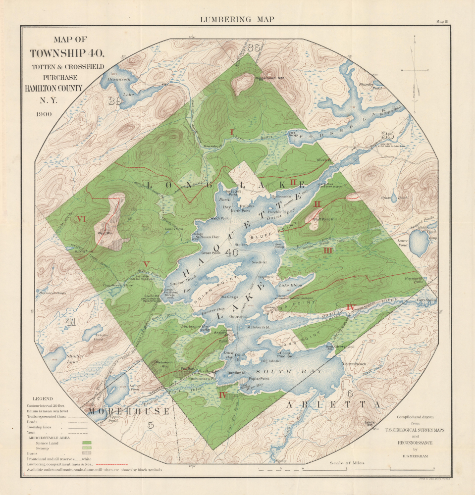
Lumbering Map. Map of Township 40, Totten and Crossfield Purchase. Hamilton County, N.Y.
$500.00
Acquire
- Digital Map Information
- Suitable for large format printing
- Full resolution TIFF file
- ICC color profile embedded
- Delivered instantly via download link
This is a 1900 H.S. Meekham 'lumbering map' of Raquette Lake and environs in Hamilton County, New York, at the heart of the Adirondacks. It highlights the area as it was becoming renowned for summer camps and illustrates New York State's drive to protect forested land. (more details)
Mapping Gascony.
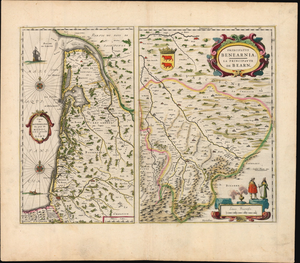
Carte du Bourdelois, du pais de Medoc, et de la prevosté de Born./ Principatus Benearnia. La Principaute de Bearn.
$450.00
Acquire
- Digital Map Information
- Suitable for large format printing
- Full resolution TIFF file
- ICC color profile embedded
- Delivered instantly via download link
This is Willem Blaeu's 1631 map of the Basque country of Gascony in southwestern France, including the wine country of Bordeaux and Medoc. It is printed along with a map focusing on the Principality of Béarn, also part of the Duchy of Gascony. The region is now the western part of Nouvelle-Aquitaine, mainly the départements of Gironde, Landes, and Pyrénées-Atlantique. (more details)
Earliest printed depiction of the Kungur Ice Cave
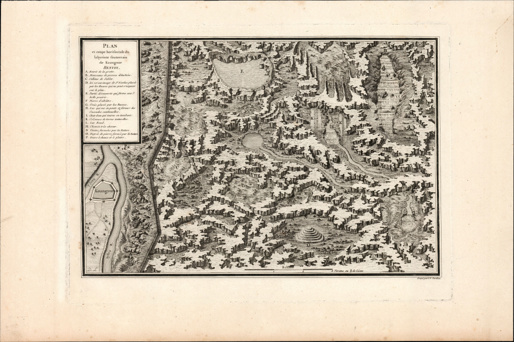
Plan et coupe horisontale du labyrinte souterrain de Koungour Renvoi.
$250.00
Acquire
- Digital Map Information
- Suitable for large format printing
- Full resolution TIFF file
- ICC color profile embedded
- Delivered instantly via download link
This is a fascinating cross-section view of the Kungur Ice Cave, a karst cave in the Ural Mountains, memorialized in Nicolas Gabriel Clerc's 1783 Histoire Physique, Morale, Civile et Politique de la Russie. Le Clerc was tasked by Louis XV to produce a history of Russia; his work included wonders such as this view of these sprawling caves, which to this day have not been fully explored. (more details)
Grandest Cartographic Representation of Regency London.
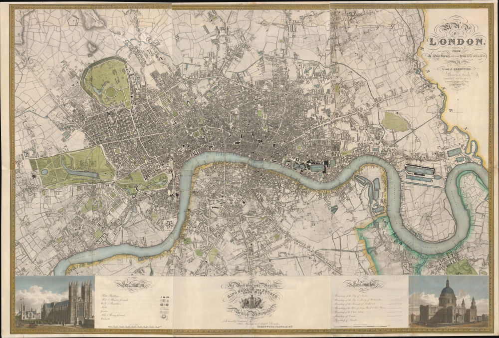
Map of London, from An Actual Survey made in the Years 1824, 1824 and 1826 by C. an J. Greenwood.
$15,000.00
Acquire
- Digital Map Information
- Suitable for large format printing
- Full resolution TIFF file
- ICC color profile embedded
- Delivered instantly via download link
This is the rare first edition of Christopher and John Greenwood's large-scale 1827 map of London, produced at the height of the Regency period, during which the city was being crafted into a neoclassical metropolis, driven by the Prince Regent (George IV) himself but realized by his favored architect, John Nash. Greenwood's map, in its grand presentation and monumental scope, is the essential cartographic expression of the Regency, and it is considered the largest and finest plan of London to appear in the 19th century. (more details)
Roman-Era Egypt, as drafted by a Native Son.
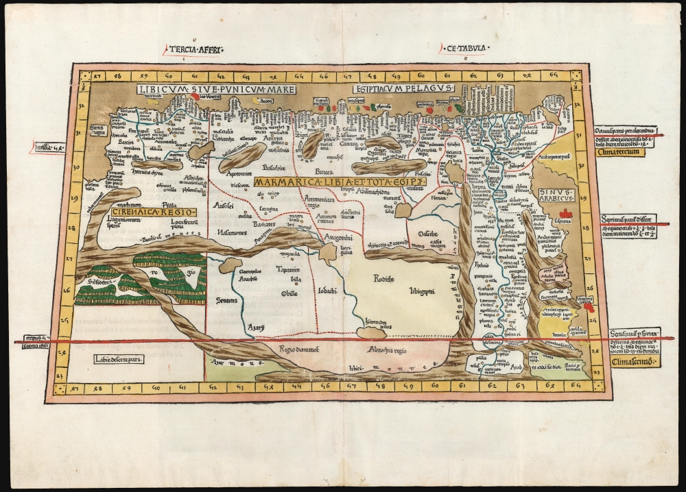
Tercia Affrice Tabula.
$11,000.00
Acquire
- Digital Map Information
- Suitable for large format printing
- Full resolution TIFF file
- ICC color profile embedded
- Delivered instantly via download link
This is a superb example, in rich original color, of one of the earliest printed maps of any part of Africa - this one focusing on the region of Libya and Egypt extending to the Red Sea, according to the second-century knowledge of Claudius Ptolemy. It appeared in the Ulm Ptolemy, the first such work printed north of the Alps, in 1482 and 1486. It is the first map of the region by someone who lived there. (more details)
First published image of New Orleans.
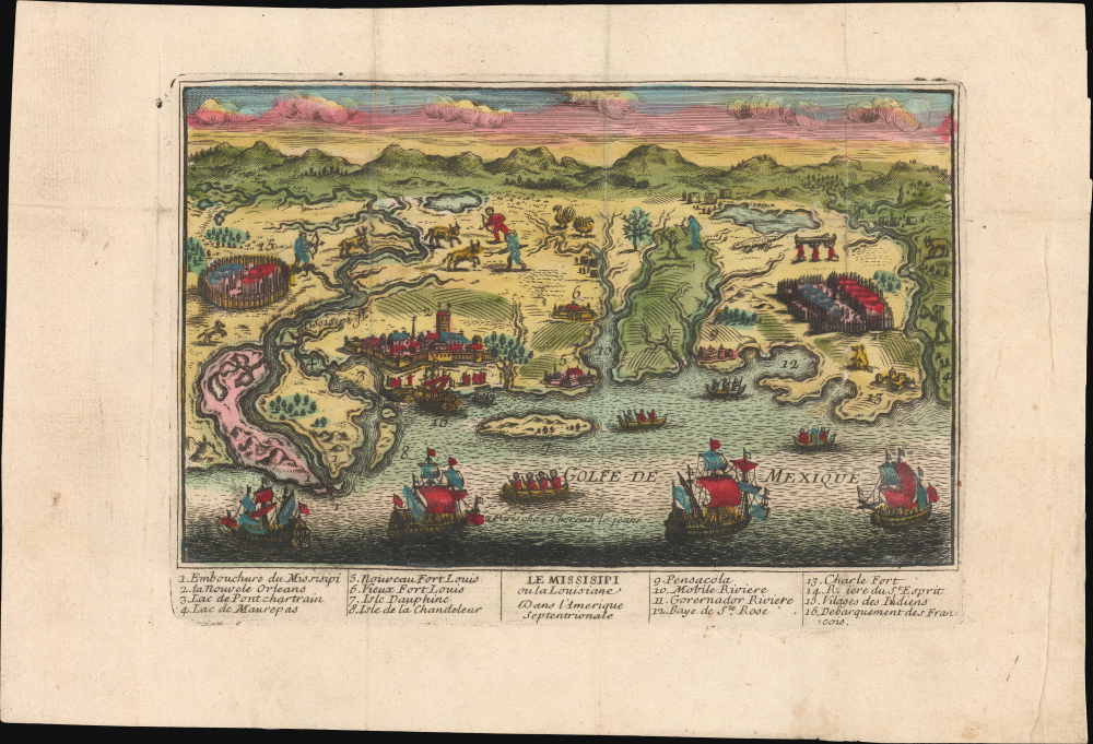
Le Mississipi ou la Louisiane dans l'Amerique Septentrionale.
$9,500.00
Acquire
- Digital Map Information
- Suitable for large format printing
- Full resolution TIFF file
- ICC color profile embedded
- Delivered instantly via download link
This is a rare c. 1720 Chéreau broadside leaflet map-view of the Gulf of Mexico littoral, just a few years after New Orleans was founded. It is likely the earliest printed view of New Orleans - though admittedly, it is not an accurate representation of the city at the time. The map was issued as a propaganda leaflet to promote New Orleans and French Louisiana, and thus coverage extends east to encompass most of the Florida Panhandle. It is among the earliest maps to include a view of New Orleans and the indigenous peoples of the Gulf. The present example is the first state, with extraordinary period color. (more details)
Canada attempts to regulate the Yukon Timber Boom.
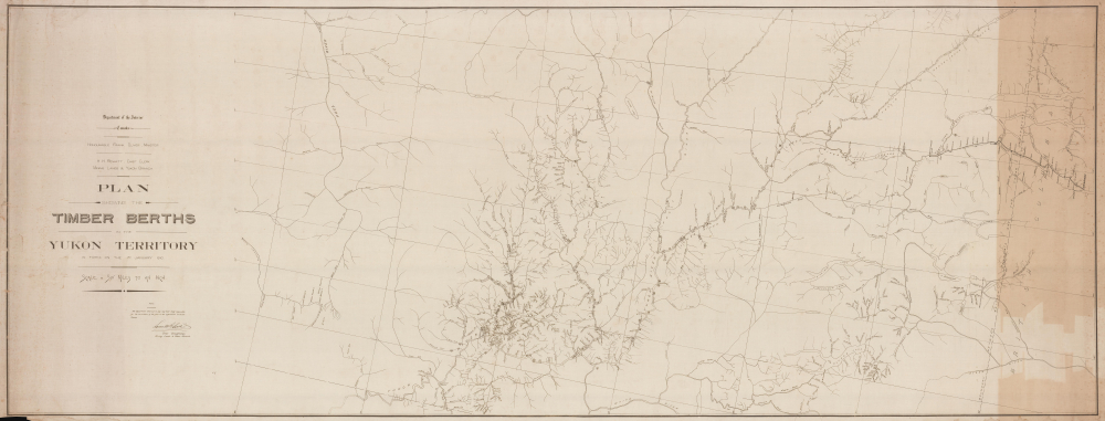
Plan Showing the Timber Berths in the Yukon Territory in Force on the 1st January 1910.
$5,000.00
Acquire
- Digital Map Information
- Suitable for large format printing
- Full resolution TIFF file
- ICC color profile embedded
- Delivered instantly via download link
This is a unique 1910 Canadian Department of the Interior map of the timber berths, transportation networks, waterways, and government outposts across the Yukon Territory at the close of the Klondike Gold Rush. It illustrates the Canadian government's attempt to regulate the Timber Boom that followed the Yukon Gold Rush. More than 100 licensed timber berths appear alongside the Klondike Mines Railway, the White Pass and Yukon Route, and numerous North-West Mounted Police posts. Published when Yukon sawmills produced more than two million board feet of lumber annually, the map offers a monumental (8.5 feet long!) record of resource management, industrial development, and transportation in northern Canada. (more details)
New York City on the Eve of Incorporation.
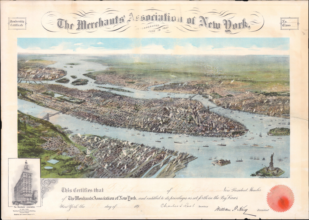
The Merchants' Association of New York.
$2,000.00
Acquire
- Digital Map Information
- Suitable for large format printing
- Full resolution TIFF file
- ICC color profile embedded
- Delivered instantly via download link
This is a rare 1897 bird's-eye view of New York City appearing on a membership certificate for the Merchants' Association of New York, printed by G.W. and C.B. Colton. Capturing the metropolis on the eve of the incorporation of the City of Greater New York in 1898, it is notable for including an immense planned but never-built bridge over the Hudson River. (more details)
The Allies' 'Trampoline to Victory'
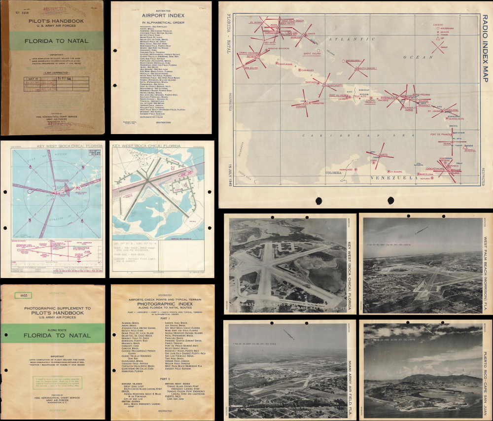
Pilot's Handbook U.S. Army Air Forces Florida to Natal / Photographic Supplement to Pilot's Handbook U.S. Army Air Forces Along Route Florida to Natal.
$1,950.00
Acquire
This is a rare 1945 restricted / confidential pilot's handbook and photographic supplement prepared by the U.S. Army Air Force's Aeronautical Chart Service. Containing several dozen aeronautical charts and photographs of airfields, it guided pilots along the World War II-era South Atlantic route that ferried supplies from Florida, over the Caribbean, to Brazil, across the Atlantic Ocean, and finally to Allied armies in the field. (more details)
Battle of the Ironclads.
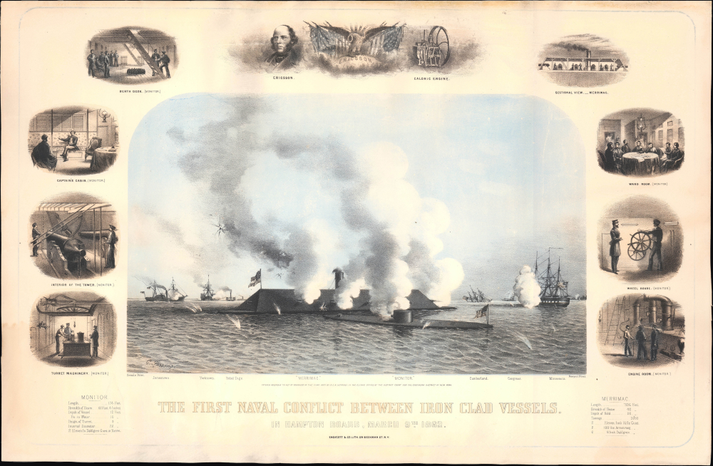
The First Naval Conflict between Iron Clad Vessels. In Hampton Roads, March 9th 1862.
$1,500.00
Acquire
- Digital Map Information
- Suitable for large format printing
- Full resolution TIFF file
- ICC color profile embedded
- Delivered instantly via download link
This is Charles Parsons' 1862 view of the American Civil War (1861 - 1865) naval battle between the USS Monitor and the CSS Virginia, a captured Union ship formerly called Merrimac. Although the battle was inconclusive, this first confrontation between ironclads ushered in a new era of naval warfare. (more details)
Jamaica During the Maroon Wars.
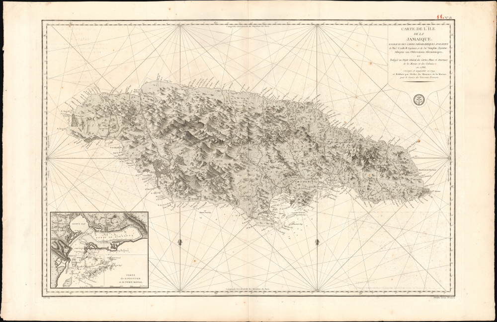
Carte de l'Ile de la Jamaique, extraite des Cartes topographiques Anglaises de T. Craskell... et de J. Simpson. Rédigée en 1786, corrigée et augmentée en 1799.
$1,500.00
Acquire
- Digital Map Information
- Suitable for large format printing
- Full resolution TIFF file
- ICC color profile embedded
- Delivered instantly via download link
This is a rare, large-format 1799 chart and map of Jamaica with an inset of Kingston Harbor. Issued in the wake of the Second Maroon War (1795), and overshadowed by the imminent French loss of Haiti to Toussaint Louverture, this map represents an effort by the French to absorb and utilize the best British information pertinent to Jamaica during a period in which both the British and the French were experiencing slave rebellion in the West Indies. Despite decades of war with each other, the Caribbean territories of these two slave-holding empires found common ground in the face of their respective revolts. British forces fought in Haiti in support of French planters until 1798; it may be that this work was produced in anticipation of returning the favor. (more details)
Archetypal views from the early Showa era.

日本八景名所圖繪 / [Drawing of the Eight Famous Scenic Views of Japan].
$1,500.00
Acquire
- Digital Map Information
- Suitable for large format printing
- Full resolution TIFF file
- ICC color profile embedded
- Delivered instantly via download link
This is a beautiful 1930 (Shōwa 5) set of views of scenic sites in Japan drawn by Yoshida Hatsusaburō, the most prominent artist of views in Japan at the time. It was published as a supplement to Housewife's Friend (主婦の友), a popular monthly women's magazine. The views show the 'New' Eight Views of Japan, a cultural phenomenon at the intersection of national identity (or nationalism), mass media, mass consumption, and tourism, all of which flourished in this period. (more details)