
NEW ACQUISITIONS
Determining the Source of the Congo.
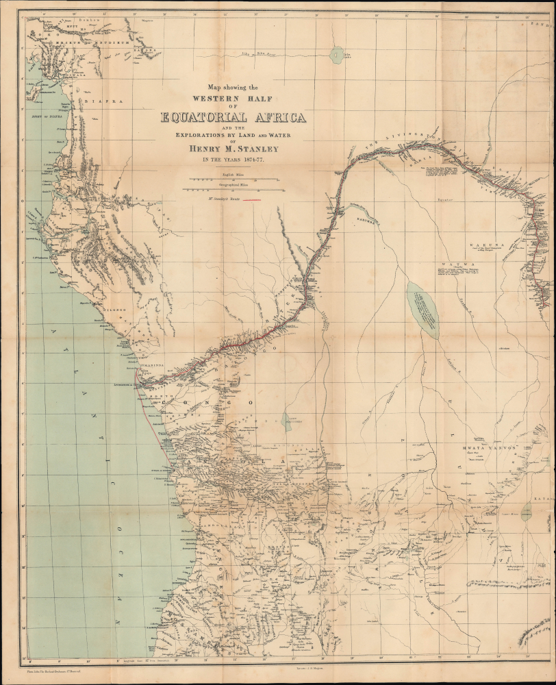
Map showing the Western Half of Equatorial Africa and the Explorations by Land and Water of Henry M. Stanley in the years 1874 - 1877.
$950.00
Acquire
- Digital Map Information
- Suitable for large format printing
- File Size: 26.27 MB
- File Type: ZIP / TIFF
- ICC color profile embedded
- Delivered instantly via download link
This is Henry Morton Stanley's 1878 map of western central Africa, prepared for the first Canadian edition of his book Through the Dark Continent. It traces the route of Stanley's First Trans-Africa Expedition. (more details)
Propaganda: the Vietnam war as U.S. staging to invade China.
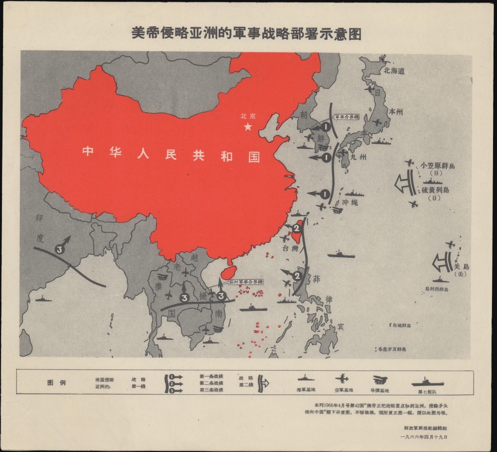
美帝侵略亚洲的军事战略部署示意图 / [A Schematic Map of the Military Strategic Deployment of US Imperialism's Aggression in Asia.]
$850.00
Acquire
A fascinating piece of Cold War propaganda, this map was published in 1966 in the PLA Pictorial, a periodical of China's People's Liberation Army. It presents U.S. military involvement in East Asia, including in Vietnam, as coordinated staging for an invasion of China. (more details)
Pan-Arab State.
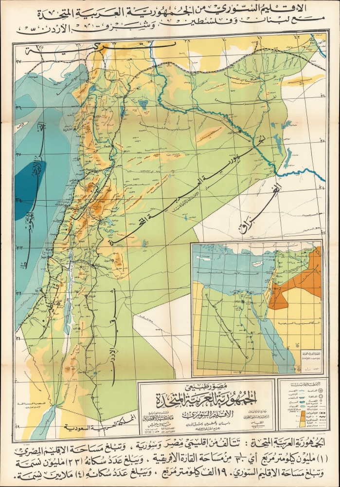
مصور طبيعي .. الجمهورية العربية المتحدة الإقليم السوري ولبنان وفلسطين وشرق الأردن / [Illustrated Physical Map of the United Arab Republic The Syrian region, Lebanon, Palestine and Transjordan].
$850.00
Acquire
An impressive large-format Arabic-language folding map of the Levant and the United Arab Republic, drawn in 1959 by geographer Ibrahim Hilmi al-Ghouri. It was published soon after the creation of the new state, a product of the Arab-Israeli conflict and the Cold War. (more details)
Shifting Borders in North America.
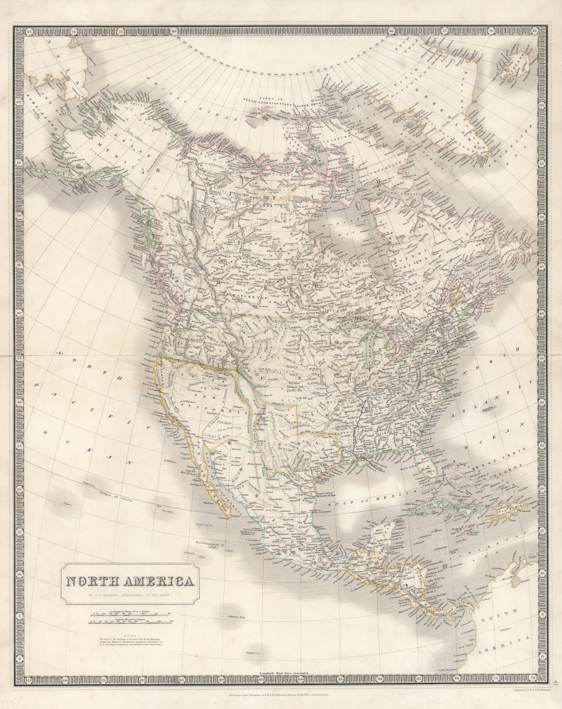
North America.
$750.00
Acquire
- Digital Map Information
- Suitable for large format printing
- DPI: 600
- File Size: 49.57 MB
- File Type: ZIP / TIFF
- ICC color profile embedded
- Delivered instantly via download link
An illuminating 1843 map of North America by Alexander Keith Johnston that was published in the first edition of his important National Atlas. The most noticeable features of the map include an enlarged Republic of Texas, a British-friendly interpretation of the Pacific Northwest, and other geographic oddities in the American West. (more details)
Building Baghdad.
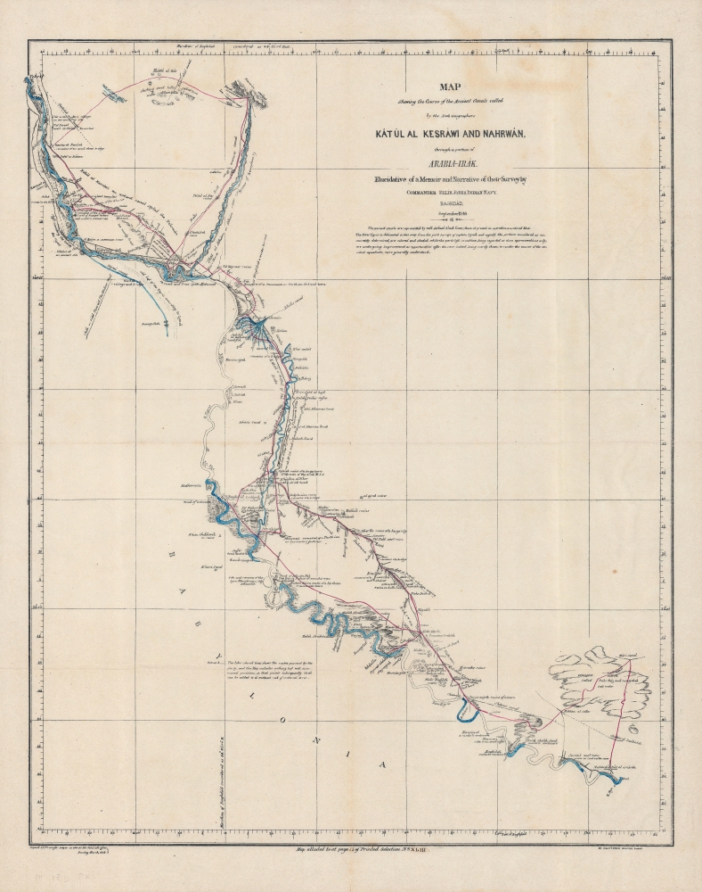
Map shewing the course of the ancient canals called by the Arab geographers Kátúl al Kesráwi and Nahrwán through a portion of Arabia-Irak : elucidative of a memoir and narrative of their survey by Commander Felix Jones, Indian Navy, Baghdad, September 1849.
$750.00
Acquire
- Digital Map Information
- Suitable for large format printing
- File Size: 20.79 MB
- File Type: ZIP / TIFF
- ICC color profile embedded
- Delivered instantly via download link
A rare 1849 map of the region around Baghdad that appeared in James Felix Jones' Memoirs (published 1857), one of the most important English-language sources on Ottoman Iraq. Jones highlights the ancient Nahrawan Canal system on the Tigris and Diyala Rivers, which was the main source of water for the region in the Sassanid (3-7th century CE) and early Islamic eras. (more details)
Exoticism of the South Seas - the luxury cruise of a lifetime.
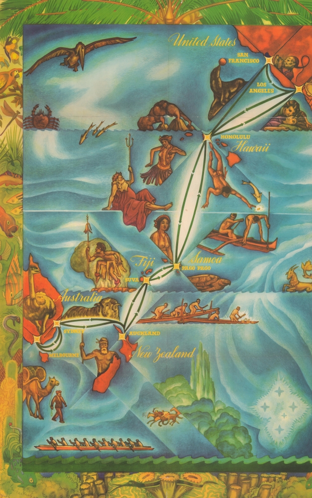
Matson Travel Offerings.
$750.00
Acquire
- Digital Map Information
- Suitable for large format printing
- Full resolution TIFF file
- ICC color profile embedded
- Delivered instantly via download link
A dramatic and impressively proportioned 1936 travel poster promoting Matson Navigation's luxury cruises to the South Pacific. The poster capitalizes on South Seas exoticism to sell first-rate 48-day cruises, launching a new era of elite global travel. (more details)
Yokohama, Japan's gateway to the world.
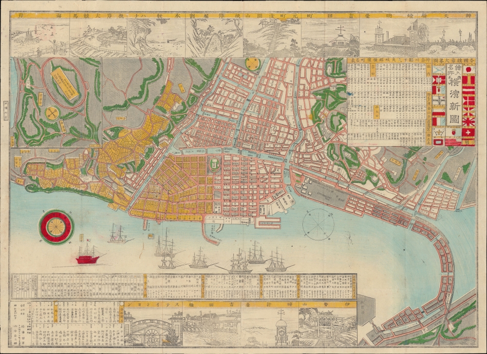
繪入名所改正横濱新圖 / [Revised New Map of Yokohama, Illustrating Landmarks].
$750.00
Acquire
- Digital Map Information
- Suitable for large format printing
- Full resolution TIFF file
- ICC color profile embedded
- Delivered instantly via download link
A rare and colorful 1892 (Meiji 25) Sugiura Tomekichi map of Yokohama with vignette illustrations. It depicts the city at the height of its boom years, when Yokohama served as Japan's primary point of economic and cultural exchange with the outside world. (more details)
'Color me in!'
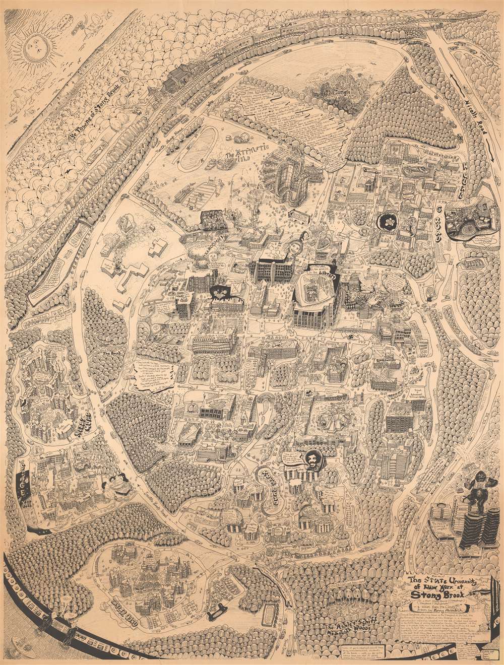
The State University of New York at Stony Brook.
$750.00
Acquire
A large 1978 Larry Auerbach humorous pictorial map of Stony Brook University, Long Island, New York. (more details)
Ugandan decolonization, independence, and national identity.
Atlas of Uganda.
$750.00
Acquire
This is a 1962 atlas of the then-imminently-independent nation of Uganda. It was compiled, under the direction of Bruce B. Whittaker, by Uganda's Department of Lands and Surveys. The Atlas is significant in the process of decolonization and the establishment of a unified Ugandan national identity. (more details)
Revere Beach - the largest resort hotel on the New England coast.
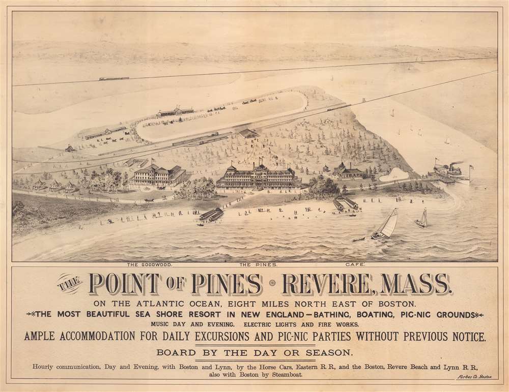
The Point of Pines. Revere, Mass. On the Atlantic Ocean, Eight Miles North East of Boston. The Most Beautiful Sea Side Resort in New England - Bathing, Boating, Pic-Nic Grounds.
$750.00
Acquire
- Digital Map Information
- Suitable for large format printing
- File Size: 29.54 MB
- File Type: ZIP / TIFF
- ICC color profile embedded
- Delivered instantly via download link
This is a c. 1882 E.R. Howe bird's-eye view map of the Point of Pines at Revere Beach or Chelsea Beach, Massachusetts. A point of land on Boston Harbor between Boston and Lynn, the Point of Pines was once called Chelsea Beach, but is known as Revere Beach today. Two hotels, the Goodwood and the Pines, occupy the foreground, along with a café. Vacationers and day-trippers stroll along the beach and pathways leading to and from the hotels. A railroad station (a stop on the Boston, Revere Beach, and Lynn Railroad) appears in the background and is connected to the hotels via pathways. (more details)
Commemorate the founding of Michigan State University.
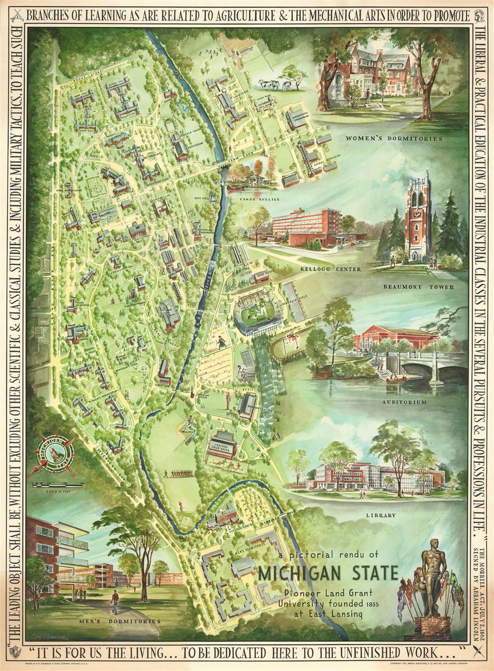
A Pictorial Rendu of Michigan State.
$750.00
Acquire
This is a stunning 1955 pictorial map of Michigan State University, drawn by the recent (1951) alumnus Carl David Johnson. The map commemorates the university's 100th anniversary. (more details)
The Hudson River from the West Point Military Academy.
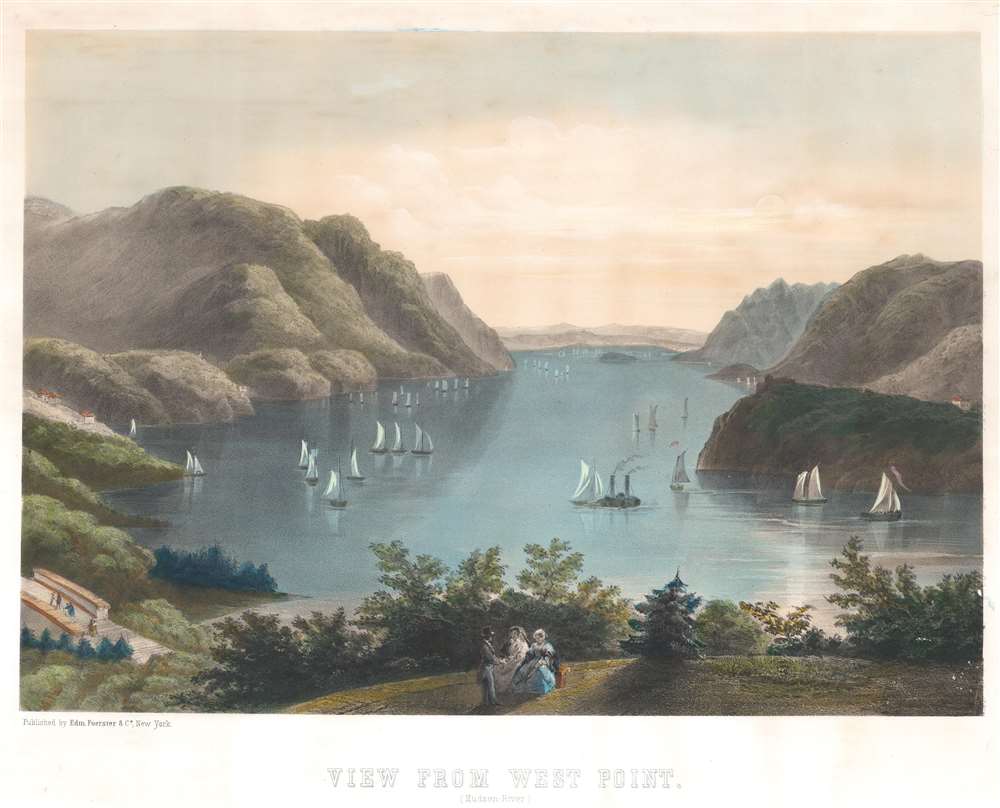
View From West Point.
$700.00
Acquire
- Digital Map Information
- Suitable for large format printing
- File Size: 28.53 MB
- File Type: ZIP / TIFF
- ICC color profile embedded
- Delivered instantly via download link
This is a c. 1870 Edmund Foerster and Company hand-tinted stone-lithograph view of the Hudson River from Trophy Point, a scenic spot on the grounds of the West Point Military Academy. This view is rare; the present being the only known example. (more details)
Revealing Central Asia.
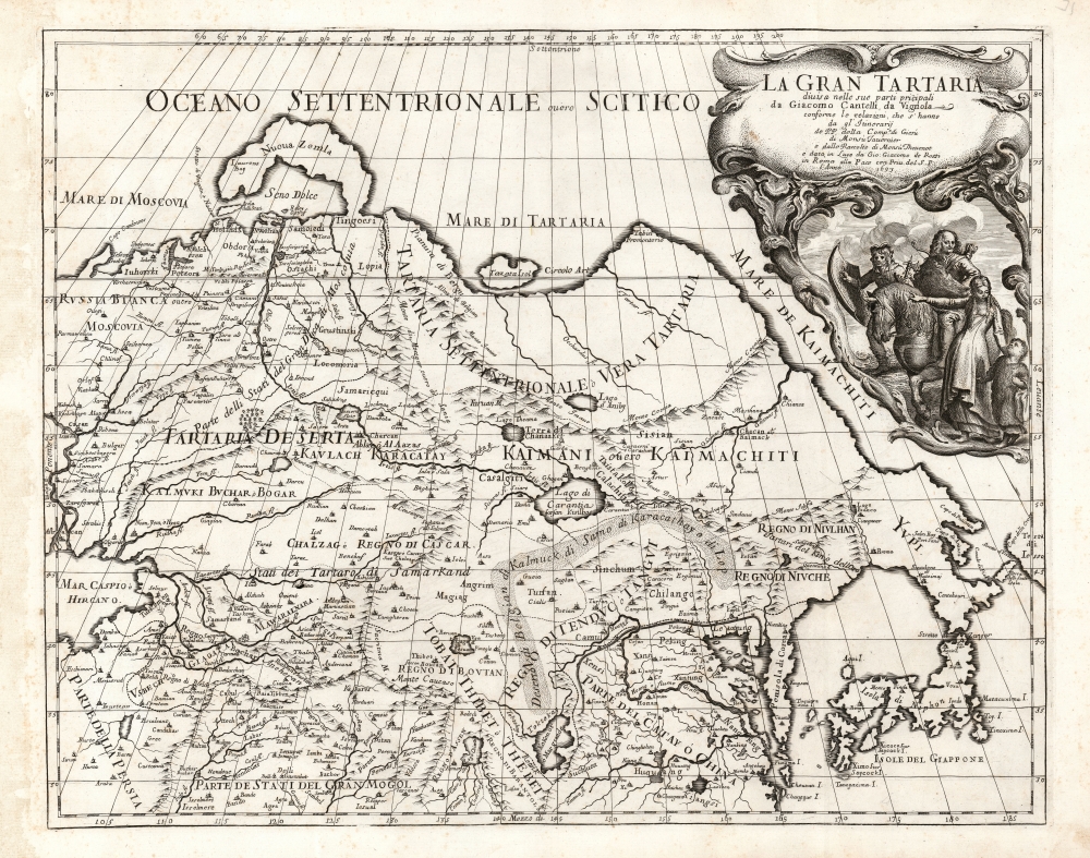
La Gran Tartaria.
$650.00
Acquire
- Digital Map Information
- Suitable for large format printing
- DPI: 600
- File Size: 55.88 MB
- File Type: ZIP / TIFF
- ICC color profile embedded
- Delivered instantly via download link
This is Cantelli da Vignola's 1693 map of Central and northeastern Asia, focusing on 'Tartar lands', an expansive territory spanning from the Russian steppe to the Great Wall of China. (more details)
End of the Era of Steamboat Racing.
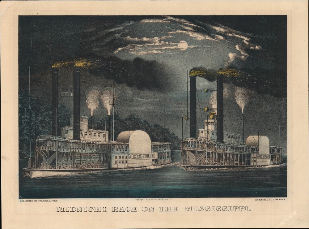
Midnight Race on the Mississippi.
$650.00
Acquire
- Digital Map Information
- Suitable for large format printing
- File Size: 11.67 MB
- File Type: ZIP / TIFF
- ICC color profile embedded
- Delivered instantly via download link
A gorgeous 1872 Currier and Ives hand-colored lithograph of steamboats racing on the Mississippi River. By the time of its publication, steamboat racing and river steamboats were becoming less popular, imbuing the piece with a touch of nostalgia. (more details)
First Accurate English Map of Tibet.
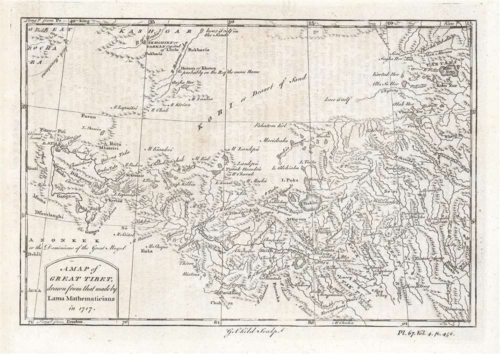
A Map of Great Tibet, drawn from that made by Lama Mathematicians in 1717.
$650.00
Acquire
- Digital Map Information
- Suitable for large format printing
- DPI: 600
- File Size: 9.69 MB
- File Type: ZIP / TIFF
- ICC color profile embedded
- Delivered instantly via download link
This is the earliest English map of Tibet, engraved for Braddock Mead's 1747 A New General Collection of Voyages and Travels, published under his pseudonym 'John Green' by Thomas Astley. It is one of the few maps of the region to rely (ultimately) on local sources - although the mapmaker's claim that the map was 'drawn from that made by Lama Mathematicians' does not include the chain of Jesuit missionaries and French cartographers linking the 'Lama Mathematicians' to the 'English engraver'. (more details)
Japanese grandees eye China's vast resources during the Second Sino-Japanese War.
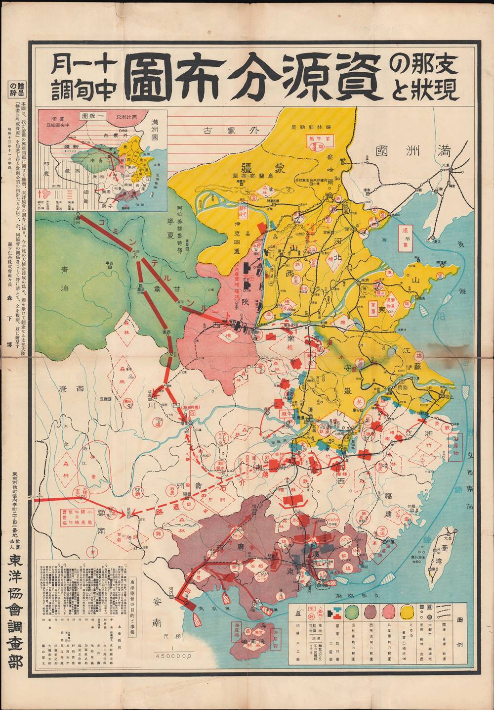
支那の現狀と資源分布圖 / [The Current Situation and Distribution of Resources in China].
$600.00
Acquire
- Digital Map Information
- Suitable for large format printing
- File Size: 35.01 MB
- File Type: ZIP / TIFF
- ICC color profile embedded
- Delivered instantly via download link
This is a rare 1938 map of the natural resources and wartime situation in China, published by Tōyō Kyōkai, a nationalistic organization of political and business leaders in Japan. It reflects Japan's main war aims and strategy, to control China's resources and prevent their use by Chiang Kai-Shek's Nationalist (Guomindang) forces. (more details)
Making Yellowstone accessible - the early years.
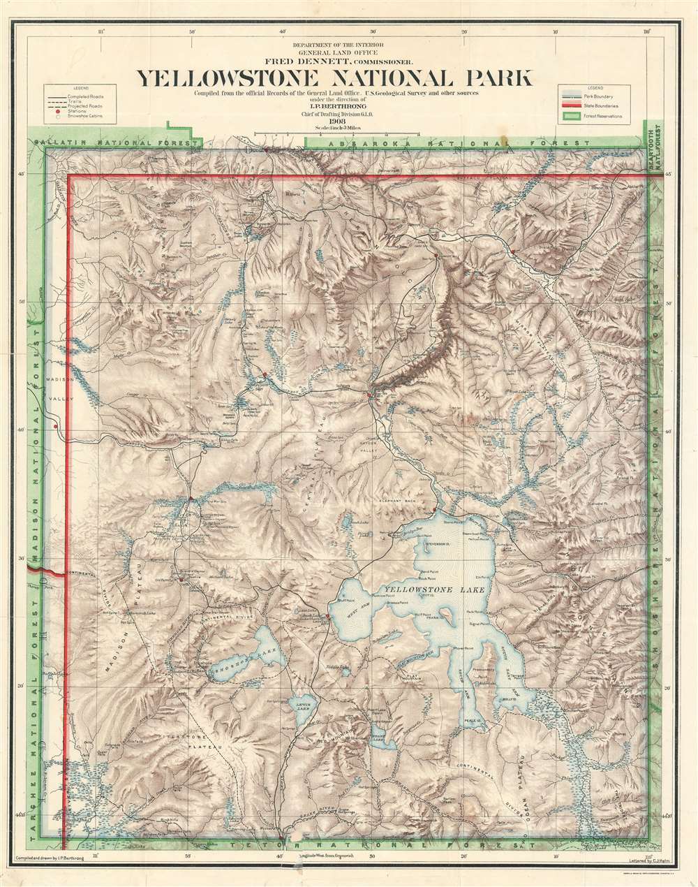
Yellowstone National Park Compiled from the official Records of the General Land Office, U.S. Geological Survey and other sources under the direction of I.P. Berthrong Chief of Drafting Division G. L. O. 1908.
$600.00
Acquire
- Digital Map Information
- Suitable for large format printing
- File Size: 44.55 MB
- File Type: ZIP / TIFF
- ICC color profile embedded
- Delivered instantly via download link
This is a 1908 General Land Office map of Yellowstone National Park, compiled and drawn by Ithamar Berthrong, who produced many important maps of the West during his tenure with the Land Office. The map records the ongoing infrastructure work, begun in 1903, to make the expansive park more manageable and accessible to visitors. (more details)
John Bull ambushed on the road of geopolitics.
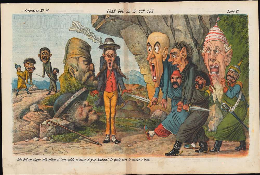
Eran due ed or son tre. / [There were two and now there are three].
$600.00
Acquire
- Digital Map Information
- Suitable for large format printing
- Full resolution TIFF file
- ICC color profile embedded
- Delivered instantly via download link
This is a March 1878 chromolithograph political cartoon that appeared in the Italian journal Il Papagallo (The Parrot), lampooning the British response to the closing stages of the Russo-Turkish War (1877 - 1878) and the lead up to the Congress of Berlin. (more details)
Profile illustrations of potential routes for one of the earliest American railroads.
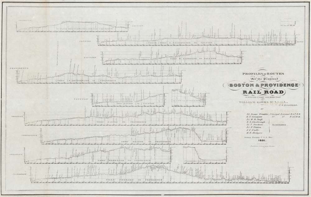
Profiles and Routes for the Proposed Boston and Providence Railroad Surveyed Under the Direction of William Gibbs McNeill.
$500.00
Acquire
- Digital Map Information
- Suitable for large format printing
- DPI: 600
- File Size: 22.43 MB
- File Type: ZIP / TIFF
- ICC color profile embedded
- Delivered instantly via download link
This is a rare 1831 Joshua Barney map of the route profiles for the proposed Boston and Providence Railroad, one of the earliest railroads incorporated in the United States. (more details)
Earliest Printed View of Geneva.

Beyde stett Genff, gross und klein, mit einer Brucken zusammen gehenckt.
$450.00
Acquire
- Digital Map Information
- Suitable for large format printing
- Full resolution TIFF file
- ICC color profile embedded
- Delivered instantly via download link
This is an edition of Sebastian Münster's 1550 prospect of Geneva, Switzerland. It presents the first accurate glimpse of the 'Protestant Rome,' the seat of the Reformation in Europe. It is the earliest version of the earliest printed image of Geneva based on actual observation. (more details)