
Mora's second map!

The Seventeen Mile Drive.
sold
- Digital Map Information
- Suitable for large format printing
- File Size: 151.01 MB
- File Type: ZIP / TIFF
- ICC color profile embedded
- Delivered instantly via download link
The rare first edition of Jo Mora's 1927 pictorial map of Monterey Peninsula's Seventeen Mile Drive. This is the second of Mora's iconic pictorial maps, which he called his 'cartes.' The map covers Monterey Peninsula in full, detailing the seventeen-mile drive around the peninsula and the various points of interest along the way. (more details)
Enriched Dutch Map of Magellanica.
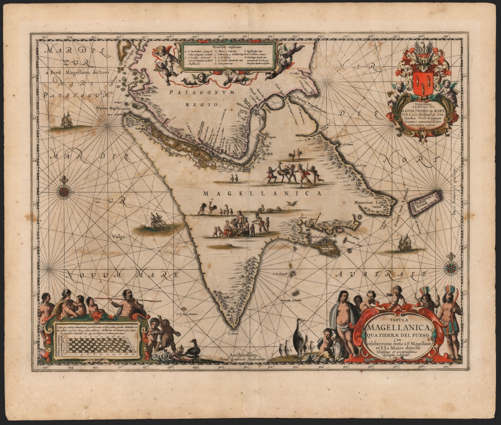
Tabula Magellanica qua Tierrae del Fuego et I. Le Maire detectis Novissima et accuratissima descriptio exhibetur.
sold
- Digital Map Information
- Suitable for large format printing
- DPI: 600
- File Size: 56.62 MB
- File Type: ZIP / TIFF
- ICC color profile embedded
- Delivered instantly via download link
This is an example of the most beautifully engraved 17th century map of Tierra del Fuego, engraved by Jan Jansson for inclusion in his atlases in 1646. It is the third map in the Hondius-Janssonius atlases to focus on this region, and was added to bring Jansson's mapping of the southernmost part of America up to date. The present depiction is the result of over a century of exploration, revealing the discoveries of Magellan, Le Maire and Schouten, and finally the voyage made by Jacques l'Hermite with the so-called Nassau Fleet between 1623 and 1624. (more details)
Height of the French Revolutionary Wars.
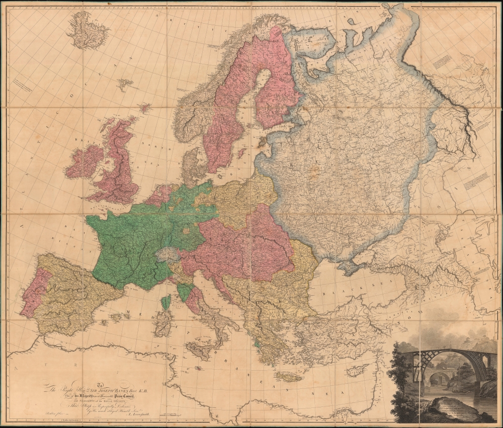
Map of Europe, Drawn from all the Best Surveys, and Rectified by Astronomical Observations.
sold
- Digital Map Information
- Suitable for large format printing
- DPI: 600
- File Size: 373.55 MB
- File Type: ZIP / TIFF
- ICC color profile embedded
- Delivered instantly via download link
This Aaron Arrowsmith map of Europe illustrates a continent at war with Britain the only remaining power left standing against Napoleon's French Revolutionary armies. The map was published on June 1, 1798, near the end of the War of the First Coalition (1772 - 1797). (more details)
Legacy of the 20th Air Force in Okinawa.

Okinawa Recreational Map. The 'Garden Spot of the Pacific'.
sold
- Digital Map Information
- Suitable for large format printing
- File Size: 39.83 MB
- File Type: ZIP / TIFF
- ICC color profile embedded
- Delivered instantly via download link
This is a rare reverse cyanotype 1952 F.C. Javier 'recreation' map of Okinawa, Japan, likely created for members of the Twentieth Air Force and their families. The map depicts the entire island along with several smaller islands off its coast with 'Points of interest' identified. Among these are sites relevant to World War II (1939 - 1945), including the memorial to war correspondent Ernie Pyle (1900 - 1945), who was killed on Ie Shima (Iejima) during the Battle of Okinawa. Other sites include Buddhist temples and shrines, castles, and the International Cemetery. Short explanations of many sites appear here and there on the map. Dependent housing, beaches, and the Headquarters of the Twentieth Air Force are prominently labeled. Pictorial elements, such as fish, birds, and lizards, add an artistic flair to the piece. (more details)
Early illustrations of the American West.
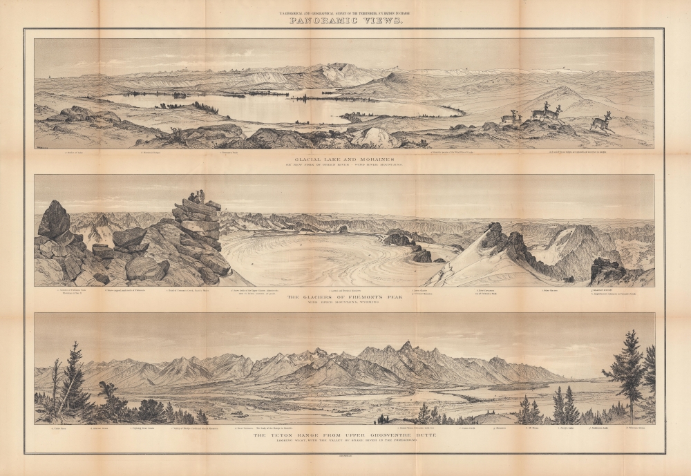
Panoramic views : Glacial lake and moraines on New Fork of Green River - Wind River Mountains ; the glaciers of Fremont's Peak, Wind River Mountains, Wyoming ; the Teton Range from upper Grosventre Butte looking west, with the valley of Snake River in the foreground.
sold
- Digital Map Information
- Suitable for large format printing
- File Size: 57.99 MB
- File Type: ZIP / TIFF
- ICC color profile embedded
- Delivered instantly via download link
A stunning set of views drawn by William Henry Holmes, produced in 1878 by Ferdinand Vandeveer Hayden and the U.S. Geological and Geographical Survey of the Territories (USGGST), the forerunner to the U.S. Geological Survey. They display panoramas of portions of the Wind River and Teton Ranges in Wyoming. (more details)
First successful summit of Kilimanjaro by Hans Meyer.
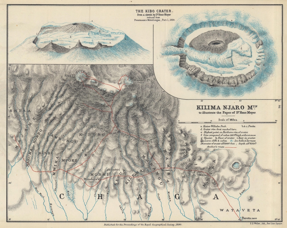
Kilima Njaro Mtn. to illustrate the Paper of Dr. Hans Meyer.
sold
- Digital Map Information
- Suitable for large format printing
- File Size: 16 MB
- File Type: ZIP / TIFF
- ICC color profile embedded
- Delivered instantly via download link
This is an 1890 Hans Meyer map of Mount Kilimanjaro, highlighting his successful summit attempt, making Meyer the first European to successfully summit Kilimanjaro. (more details)
Pictorial highway map of Washington State.
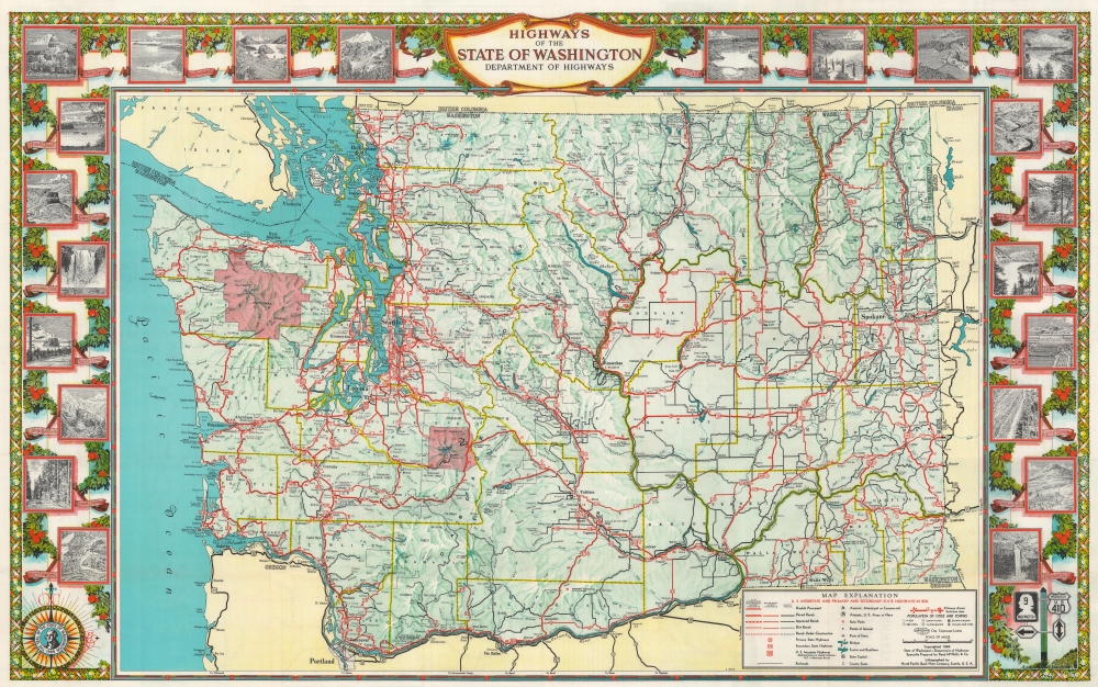
Highways of the State of Washington.
sold
- Digital Map Information
- Suitable for large format printing
- Full resolution TIFF file
- ICC color profile embedded
- Delivered instantly via download link
This is a striking 1949 State of Washington Department of Highways pictorial road map of Washington. (more details)
Foundation of the Florida Land Boom.
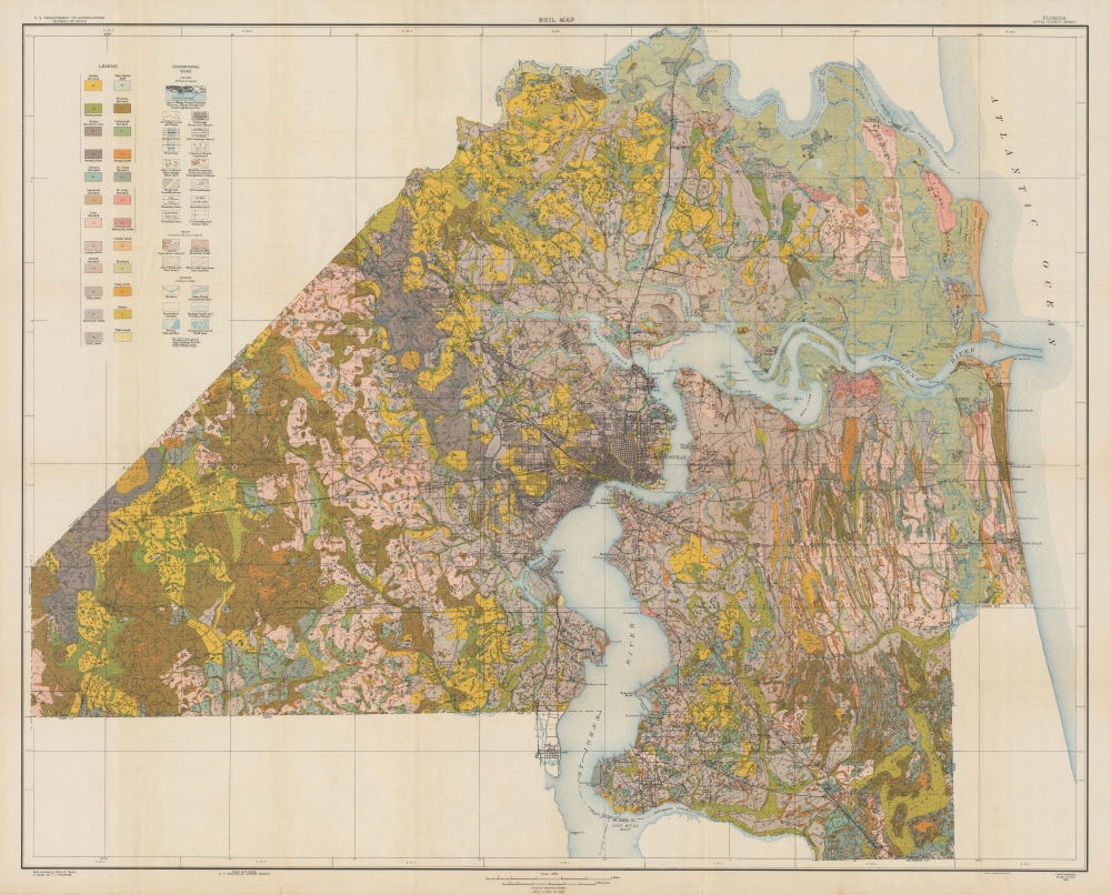
Soil map, Florida, Duval County sheet.
sold
- Digital Map Information
- Suitable for large format printing
- File Size: 88.15 MB
- File Type: ZIP / TIFF
- ICC color profile embedded
- Delivered instantly via download link
A scarce 1921 soil map of Duval County, Florida, produced by the U.S. Department of Agriculture's Bureau of Soils. It was published at the start of the Florida Land Boom, when Jacksonville was dubbed the 'Gateway to Florida' for tourists and migrants from northern states. (more details)
Fueling the Florida Land Boom.
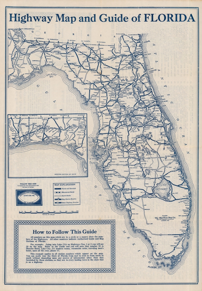
Highway Map and Guide of Florida.
sold
- Digital Map Information
- Suitable for large format printing
- Full resolution TIFF file
- ICC color profile embedded
- Delivered instantly via download link
This is a c. 1925 Mid-West Map Company tourist road map of Florida created as part of a series of maps promoting Authorized Guide and Map Stations across the country. It was produced at the height of the Florida Land Boom, when the state's road infrastructure expanded rapidly to accommodate travel to Miami, West Palm Beach, and other nearby towns. (more details)
The Green Mountain State.
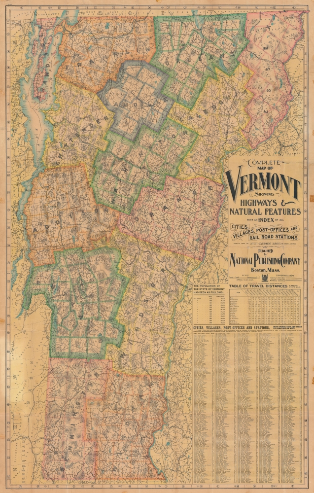
Complete map of Vermont showing highways and natural features…
sold
- Digital Map Information
- Suitable for large format printing
- File Size: 252.64 MB
- File Type: ZIP / TIFF
- ICC color profile embedded
- Delivered instantly via download link
An impressive, large-format 1902 indexed folding map of Vermont by the National Publishing Company highlighting the state's rail network at the start of the 20th century. (more details)
Farthest extent of European settlement in America before Columbus.
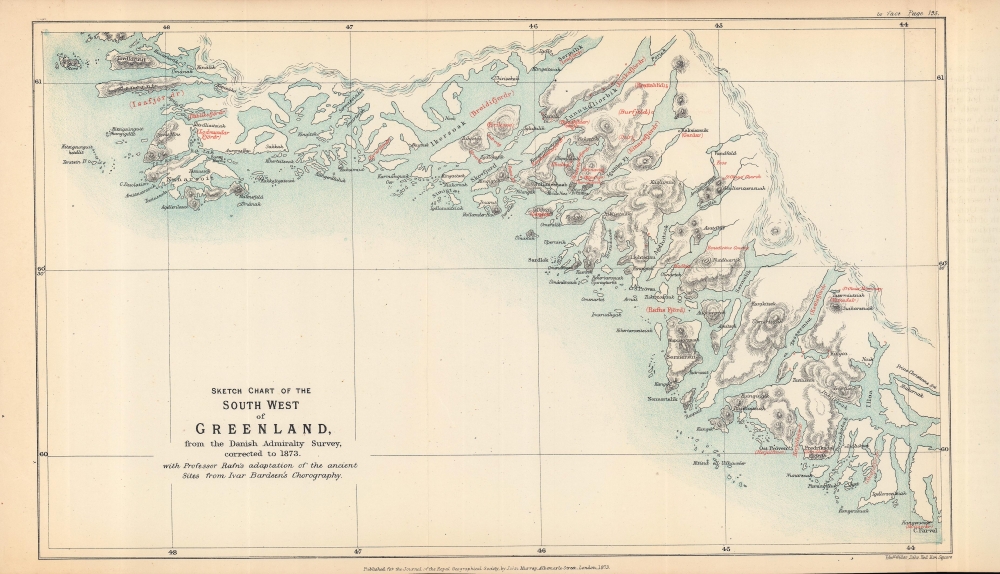
Sketch chart of the south west of Greenland from the Danish Admiralty Survey, corrected to 1873, with Professor Rafn's adaptation of the ancient sites from Ivar Bardsen's chorography.
sold
- Digital Map Information
- Suitable for large format printing
- File Size: 5.16 MB
- File Type: ZIP / TIFF
- ICC color profile embedded
- Delivered instantly via download link
A fascinating 1873 map of the southwest coast of Greenland, lithographed by Edward Weller for the Journal of the Royal Geographical Society, published by John Murray. It accompanied an article by Richard Henry Major, one of the journal's editors, which argued for two instances of pre-Columbian discovery of the Americas, one (later debunked) by the Venetian Zeno Brothers in the 14th century, and one by the Norse settlers of Greenland, later corroborated. (more details)
The 1948 American Legion National Convention.

Official Map American Legion Miami Convention.
sold
- Digital Map Information
- Suitable for large format printing
- Full resolution TIFF file
- ICC color profile embedded
- Delivered instantly via download link
This is a 1948 Southern Bell Telephone Company city plan or map of Miami, Florida, published for the American Legion National Convention. (more details)
Great Game: Tsar's Acquisition of Transoxiana.
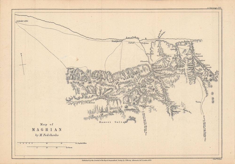
Notes on M. Fedchenko's Map of Maghian.
$250.00
Acquire
- Digital Map Information
- Suitable for large format printing
- File Size: 4.89 MB
- File Type: ZIP / TIFF
- ICC color profile embedded
- Delivered instantly via download link
This is an 1873 map of 'Maghian,' that is, the area that now comprises the westernmost portion of Sughd Province in Tajikistan, along the border with Uzbekistan. Based on a Russian map by Alexei Fedchenko, it was lithographed by Edward Weller and published by John Murray in the Journal of the Royal Geographical Society. (more details)
Explore Maui by car.

Map of the Island of Maui The Valley Isle. Sightseeing Guide.
sold
This is a c. 1960 Don Rapozo and Maui Shell Rent-A-Car pictorial tourist map of Maui, Hawaiian Islands. Pictorial vignettes appear throughout the island and promote sites including Eke Crater, Haleakala Crater, and Puu Kukui. Pineapples, sugar cane, palm trees, and 'Hawaiian forest' appear as well. Tourists are illustrated taking photos, swimming, golfing, and surfing. Red lines highlight Maui's highways. An inset map along the top border focuses on the Kahului Shopping Center and the office of Maui Shell Rent-A-Car. (more details)
Celebrating Burgundy wine!

Carte des Vins de Bourgogne.
sold
- Digital Map Information
- Suitable for large format printing
- File Size: 68.6 MB
- File Type: ZIP / TIFF
- ICC color profile embedded
- Delivered instantly via download link
This is a beautiful c. 1950 pictorial map of the Bourgogne (Burgundy) wine region of France. (more details)
Mid-19th century map of Ireland.

Ireland.
sold
- Digital Map Information
- Suitable for large format printing
- DPI: 600
- File Size: 21.17 MB
- File Type: ZIP / TIFF
- ICC color profile embedded
- Delivered instantly via download link
This hand-colored map is a lithographic engraving of Ireland, dating to 1850, by the American map publishers Samuel Augustus Mitchell Sr. and 'Thomas, Cowperthwait, and Company'. Topographical information is clearly presented with towns, lakes, roads, and more illustrated. Political divisions are indicated with contrasting pastels. (more details)
Transporting goods (including cotton) in the southern United States.
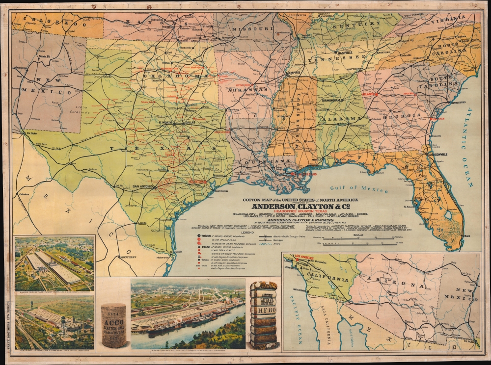
Cotton Map of the United States of North America.
sold
- Digital Map Information
- Suitable for large format printing
- Full resolution TIFF file
- ICC color profile embedded
- Delivered instantly via download link
This is a c. 1920s Anderson, Clayton and Company chromolithograph railroad wall map of the southern United States issued to celebrate the firm's rapid expansion and growth. Anderson, Clayton, and Company was an American cotton and dry goods firm that exported worldwide. This map was issued to celebrate Anderson, Clayton's growth from small town mills to a national and global logistic network. Towns identified by red text hosted either an Anderson, Clayton, and Company office or a Clayton Roundtable-Compress. An inset in the lower right details the American Southwest from Los Angeles to El Paso, noting Los Angeles was home to an Anderson, Clayton office. Three views in the lower left illustrate cotton processing centers in Houston (which had two centers) and New Orleans, noting bale capacity for each. (more details)
First map of Russia based on actual exploration.
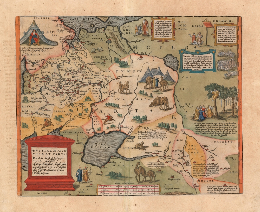
Russiae, Moscoviae et Tartariae Descriptio. Auctore Antonio Ienkensono Anglo, edita Londini Anno. 1562 et dedicata illustriss: D. Henrico Sÿdneo Wallie presidi.
$2,000.00
Acquire
- Digital Map Information
- Suitable for large format printing
- Full resolution TIFF file
- ICC color profile embedded
- Delivered instantly via download link
This is a 1601 example of Abraham Ortelius' 'Russia, Moscoviae et Tartariae', the first atlas map of Russia, and the first to be produced based on actual exploration. Its content is based on the travels of English merchant and diplomat Anthony Jenkinson, who visited Russia four times between 1557 and 1571. The map details the lands revealed by Jenkinson's first voyage which lasted from 1557 to 1560. His map, which was provided to Ortelius, was completed after that voyage, in 1562. (more details)
First published map to show Fra. Kino's explorations. Includes California as an Island!

Cette Carte de Californie et du Nouveau Mexique, est tiree de celle qui a ete envoyee par un grand d'Espagne pour etre communiquee a Mrs. De L'Academie Royale des Sciences.
sold
- Digital Map Information
- Suitable for large format printing
- DPI: 300
- File Size: 4.45 MB
- File Type: ZIP / TIFF
- ICC color profile embedded
- Delivered instantly via download link
A landmark 1705 map illustrating California as an island and the first published dissemination of Fr. Eusebio Frabcusci Kino's groundbreaking explorations in New Mexico and California. Drawn by Nicolas de Fer, official Geograph de Monseigneur le Dauphin, this map covers from Cape Mendocino (California) to the Gulf of Mexico and the mouth of the Mississippi River (mis-mapped) and from Santa Fe to Mexico City. Place names are identified both textually and numerically referencing a table of 314 specific locations in the upper right quadrant. (more details)
Philippine-American War reissue of a Spanish Map of the Philippines.
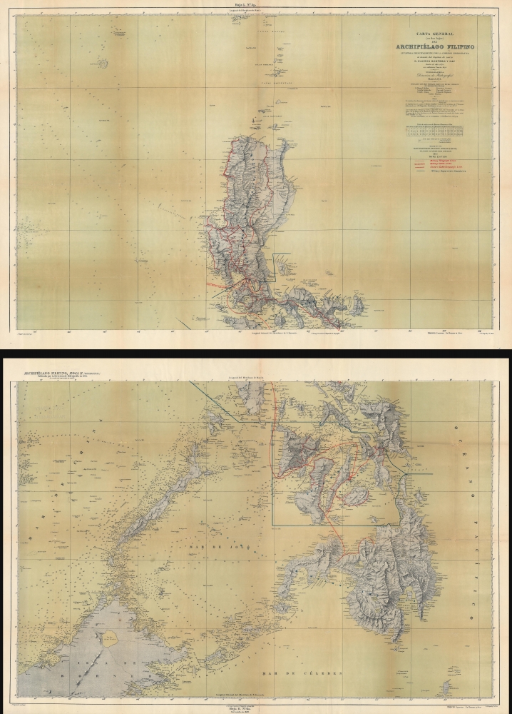
Carta General (en dos hojas) del Archipiélago Filipino.
sold
- Digital Map Information
- Suitable for large format printing
- Full resolution TIFF file
- ICC color profile embedded
- Delivered instantly via download link
This is a 1901 U.S. War Department map of the Philippines. Published during the Philippine-American War (1899 - 1902), the War Department repurposed a Spanish Direccion Hidrografia map originally published in 1870. (more details)