
The early stages of Jacksonville's postwar development.
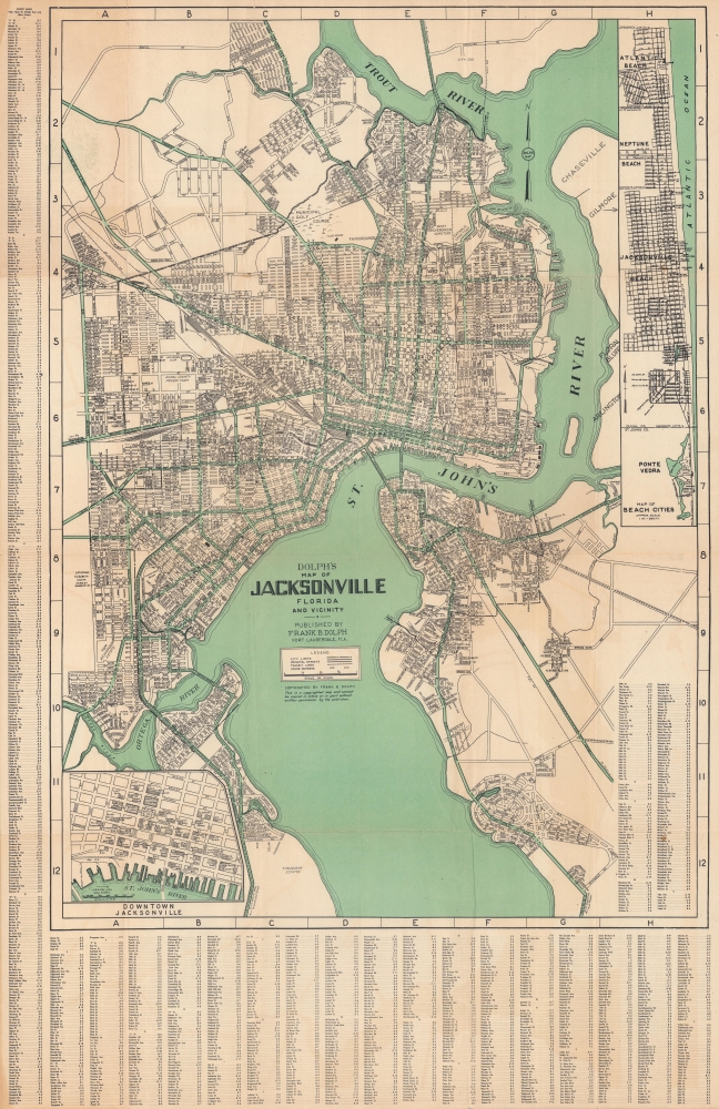
Map of Jacksonville, Florida, and vicinity.
sold
- Digital Map Information
- Suitable for large format printing
- File Size: 37.8 MB
- File Type: ZIP / TIFF
- ICC color profile embedded
- Delivered instantly via download link
This is a large-format c. 1952 Dolph city map of Jacksonville, Florida, and its immediate environs highlighting the city's ongoing development. (more details)
Tracking the Pacific War from Pearl Harbor to V-J Day.
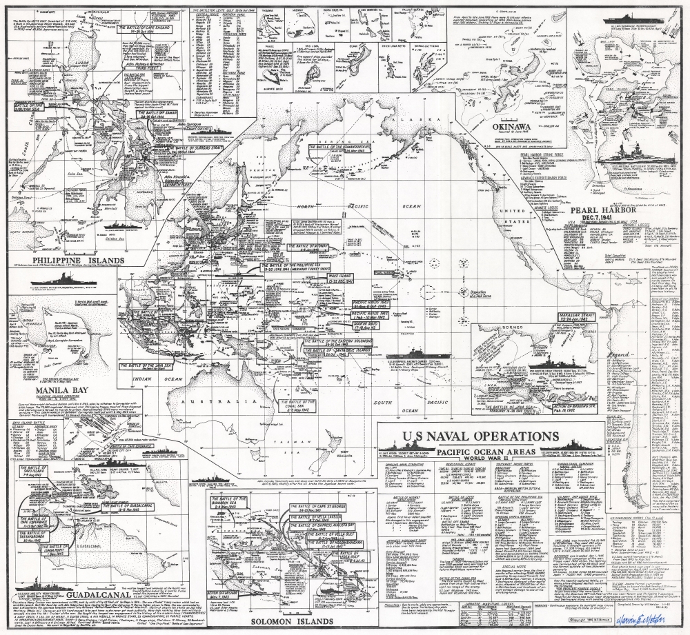
U.S. Naval Operations Pacific Ocean Areas World War II.
sold
This is a 1995 Marvin E. Metzler infographic map of the World War II Pacific War battles. It is a unique tribute to the Pacific war prepared by a veteran who experienced it firsthand. (more details)
Early mapping of many Gulf states.
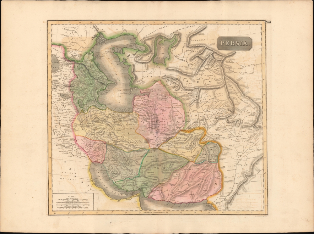
Persia.
sold
- Digital Map Information
- Suitable for large format printing
- DPI: 600
- File Size: 72.44 MB
- File Type: ZIP / TIFF
- ICC color profile embedded
- Delivered instantly via download link
This is an 1817 map of Qujar Persia, including modern-day Afghanistan, by Edinburgh cartographer John Thomson. The map is notable for its naming of multiple emirates and kingdoms on the western shore of the Persian Gulf - including Qatar, Dubai, Kuwait, and Bahrain. (more details)
An Evocative Image of the Age of Discovery.

[Untitled Woodcut].
sold
- Digital Map Information
- Suitable for large format printing
- Full resolution TIFF file
- ICC color profile embedded
- Delivered instantly via download link
This is a fascinating and evocative woodcut image of islands, ships and sea monsters, illustrating a text describing islands in general. It appeared in Sebastian Münster's Cosmographia beginning in 1550, and appears here in an early French text edition of the work. (more details)
A spy's map of the Transvaal from the Second Boer War.
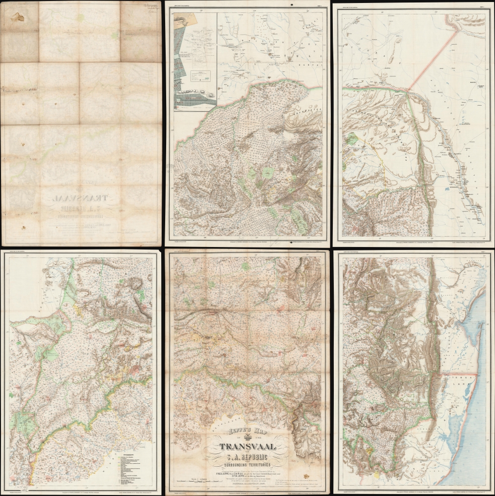
Jeppe's Map of the TRANSVAAL S. A. Republic and Surrounding Territories.
sold
- Digital Map Information
- Suitable for large format printing
- Full resolution TIFF file
- ICC color profile embedded
- Delivered instantly via download link
This is a rare 1899 Friedrich Heinrich Jeppe map of the South African Republic or Republic of the Transvaal issued shortly before the outbreak of the Second Boer War (1899 - 1902) with interesting provenance to Capt. E. W. Margesson, a British field officer. The map consists of 5 of the 6 sheets of the original map - unfortunately the northeast sheet, containing insets of Johannesburg and Pretoria, has been lost, but the overall rarity of the map balances this out. (more details)
Hundreds of public schools across Massachusetts.
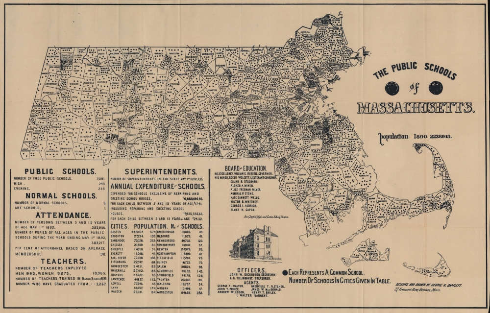
The Public Schools of Massachusetts.
sold
- Digital Map Information
- Suitable for large format printing
- File Size: 52.22 MB
- File Type: ZIP / TIFF
- ICC color profile embedded
- Delivered instantly via download link
This is an 1893 George H. Bartlett map of Massachusetts Common Schools representing the pioneering of American public education in Massachusetts. The common schools mapped here were community-organized public schools with a religious underpinning. They predated the state-funded public school system we know today. This map focuses on the final years of the common school system and pioneering efforts in Massachusetts to centralize and 'normalize' public education under the state banner. Massachusetts was the first state to do so, thus this map documents the developmental stages of public education as we know it today. (more details)
The Polish Lithuanian Commonwealth.
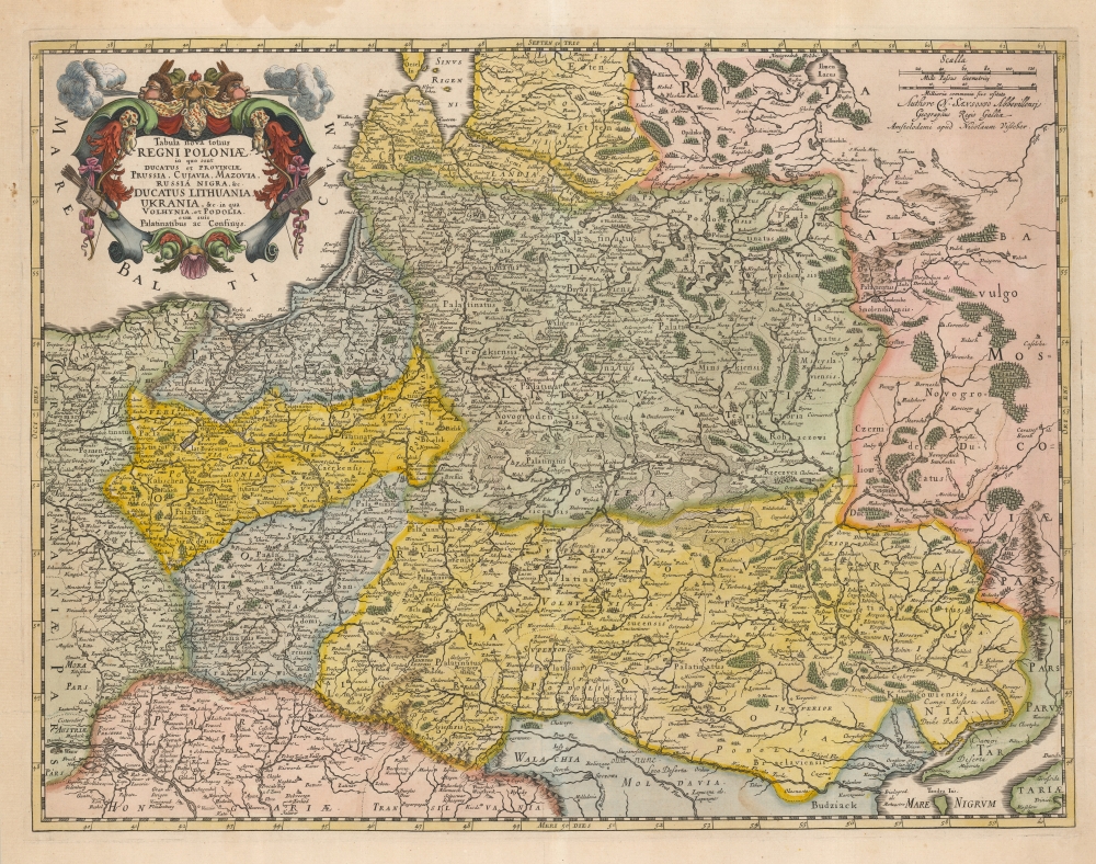
Tabula nova totius Regni Poloniae in quo sunt Ducatus et Provinicae Prussia, Cujavia, Mazovia, Russia Nigra etc. in qua Volhynia, et Podolia cum suis Palatinatibus ac Confinys.
sold
- Digital Map Information
- Suitable for large format printing
- DPI: 600
- File Size: 58.44 MB
- File Type: ZIP / TIFF
- ICC color profile embedded
- Delivered instantly via download link
This is Nicolas Visscher II's beautiful 1690 map of the Polish Lithuanian Commonwealth, in a handsomely colored example. (more details)
A large detailed nautical chart of Long Island Sound.
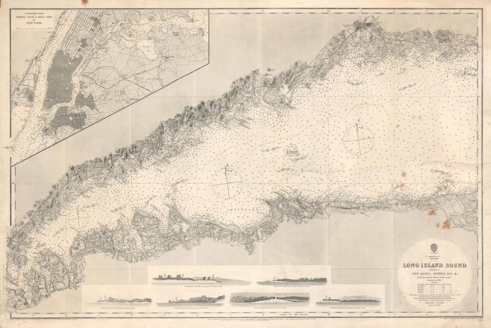
America East Coast. Long Island Sound Sheet 2 New Haven, Oyster Bay etc.
sold
- Digital Map Information
- Suitable for large format printing
- File Size: 63.37 MB
- File Type: ZIP / TIFF
- ICC color profile embedded
- Delivered instantly via download link
This is an 1886 British Admiralty nautical map of Long Island Sound. Illustrating from Hogshead Point on the New England coast and from Jacob Point on Long Island to Throg's Neck, the chart boasts impressive coastal detail. (more details)
Patriotic Pictorial Map of the United States.

America the Wonderland. A Pictorial Map of the United States. Designed and Drawn by Ernest Dudley Chase of Winchester, Mass.
sold
This is a 1941 Ernest Dudley Chase pictorial map of the continental United States. Pictorial 'icons' fill the country from coast to coast and highlight American industry, culture, natural wonders, and resources. (more details)
The height of the British East India Company.
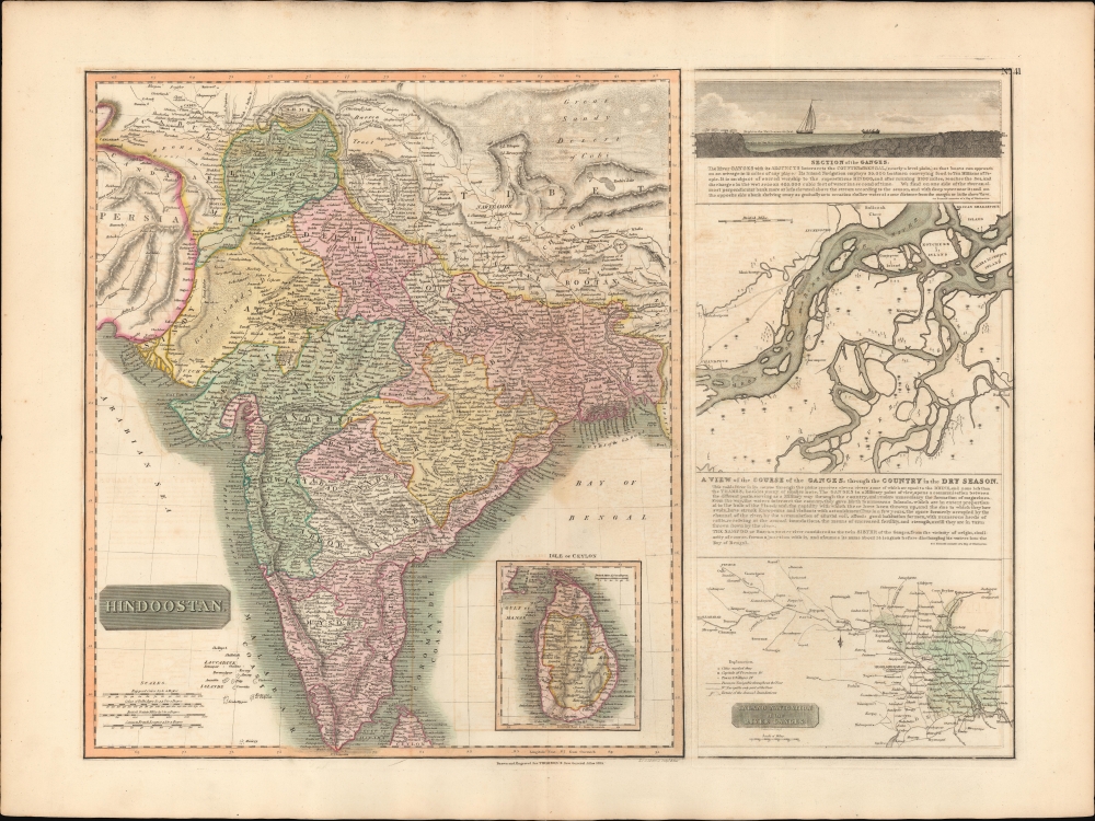
Hindoostan. / A View of the course of the Ganges...
$550.00
Acquire
- Digital Map Information
- Suitable for large format printing
- DPI: 600
- File Size: 77.31 MB
- File Type: ZIP / TIFF
- ICC color profile embedded
- Delivered instantly via download link
This is the 1814 first edition John Thomson map of India with inset maps of the Ganges River. This is the rarest of the Thomson India series, having appeared only in the first edition of his atlas. It is one of the finest atlas maps of India to appear in the early 19th century. (more details)
Washington D.C's telegraph network.
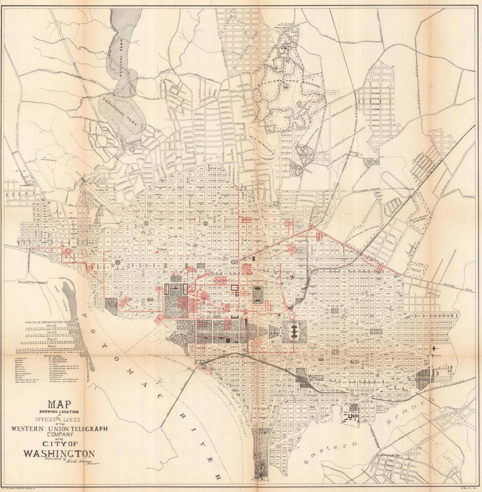
Map Showing Location of Offices and Lines of the Western Union Telegraph Company in the City of Washington.
sold
- Digital Map Information
- Suitable for large format printing
- File Size: 76.27 MB
- File Type: ZIP / TIFF
- ICC color profile embedded
- Delivered instantly via download link
This is a fascinating 1891 Norris Peters city map of Washington D.C. detailing Western Union Telegraph lines and offices. (more details)
A city within a city.
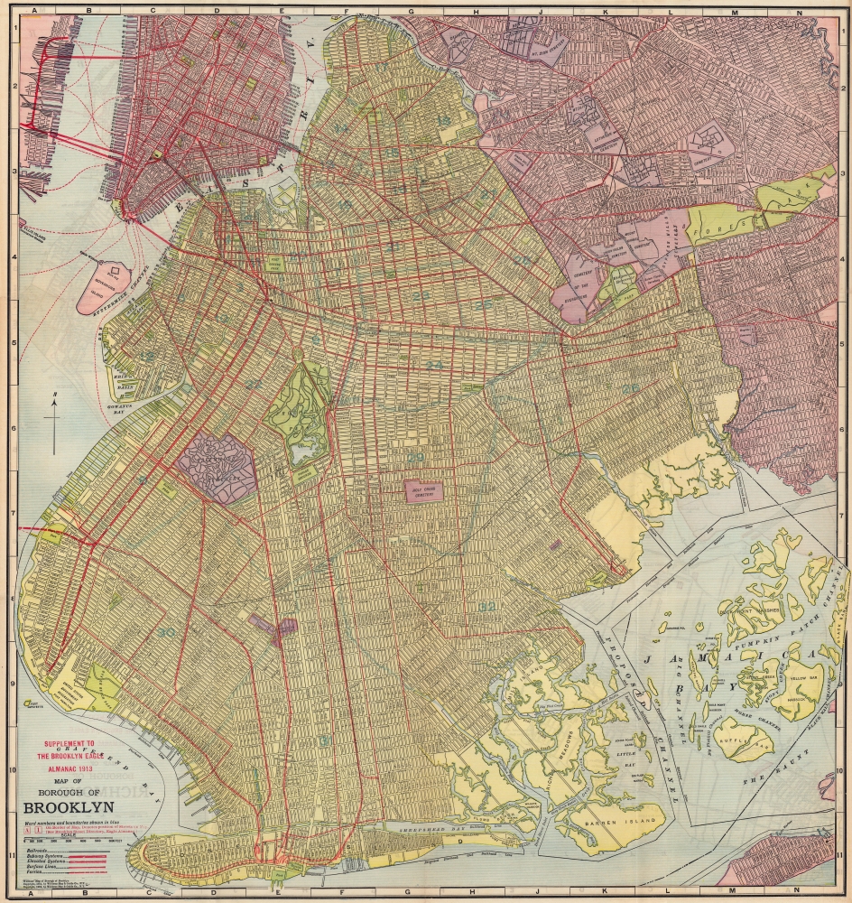
Supplement to the Brooklyn Eagle Almanac 1913, Map of Borough of Brooklyn / Map of Borough of Richmond.
sold
- Digital Map Information
- Suitable for large format printing
- Full resolution TIFF file
- ICC color profile embedded
- Delivered instantly via download link
A colorful, richly detailed 1913 two-sided indexed map of the Brooklyn and Richmond (Staten Island) produced by the William Map and Guide Co. and published in the Supplement to the Brooklyn Eagle Almanac. It depicts Brooklyn fully-formed, reaching roughly its current street grid and extent of development. (more details)
The Indian Ocean and arteries of trade.
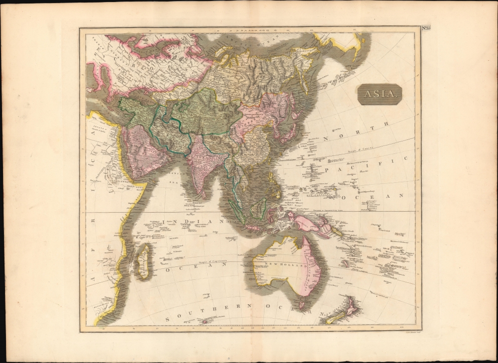
Asia.
$450.00
Acquire
- Digital Map Information
- Suitable for large format printing
- DPI: 600
- File Size: 64.28 MB
- File Type: ZIP / TIFF
- ICC color profile embedded
- Delivered instantly via download link
This is a first edition 1814 John Thomson map of Asia, the Indian Ocean, and Australia. (more details)
200+ European Coats of Arms.
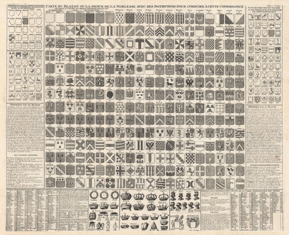
Carte du Blazon ou la Sience de la Noblesse avec des Instructions Pour Conduire à Cette Connoissance.
sold
- Digital Map Information
- Suitable for large format printing
- DPI: 600
- File Size: 71.72 MB
- File Type: ZIP / TIFF
- ICC color profile embedded
- Delivered instantly via download link
This is a c. 1720 Henri Abraham Chatelain chart of European noble armorial crests. Over 200 coats of arms appear, alongside explanations of shield shapes and designs. Chatelain also describes crowns and helmets worn by the various nobles. An alphabetic table lists families or other entities meriting these armorial crests, each numerically identified. (more details)
Just before the Gold Rush.
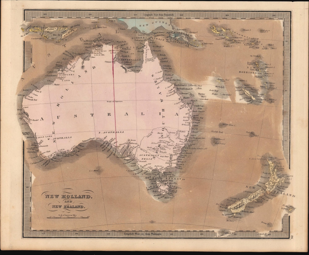
New Holland, And New Zealand.
sold
- Digital Map Information
- Suitable for large format printing
- DPI: 600
- File Size: 21.43 MB
- File Type: ZIP / TIFF
- ICC color profile embedded
- Delivered instantly via download link
This is Jeremiah Greenleaf's 1849 map of Australia and New Zealand. This map features numerous minor updates over earlier editions reflecting the rapid exploration of the Australian interior between 1835 and 1849. (more details)
Land of Fun and Produce.

Florida Fun In The Sun.
sold
This is a 1954, 'Map-Nap' of the state of Florida. This colorful map, printed on a napkin, marks principal cities, and is decorated pictorially with ships, sailboats, speedboats, water skiers, fishing scenes, flora, and fauna. A jolly, regal sun blazes down upon the state. The reverse fold lists an array of 'Facts about Florida,' offering information of the state's size, population, produce, and industry. (For example, the reader learns that 'Florida waters supply virtually all of the sponges harvested in the U.S.') (more details)
Leisure life in Bermuda.

Bermuda Islands.
sold
- Digital Map Information
- Suitable for large format printing
- Full resolution TIFF file
- ICC color profile embedded
- Delivered instantly via download link
This is a rare c. 1927 Clarence Hornung pictorial tourist map of the Bermuda Islands. Geared towards tourists and highlighting the islands' leisure attractions, it reflects the changing economy of Bermuda. (more details)
The first detailed map of any part of North America by an actual Colonist.
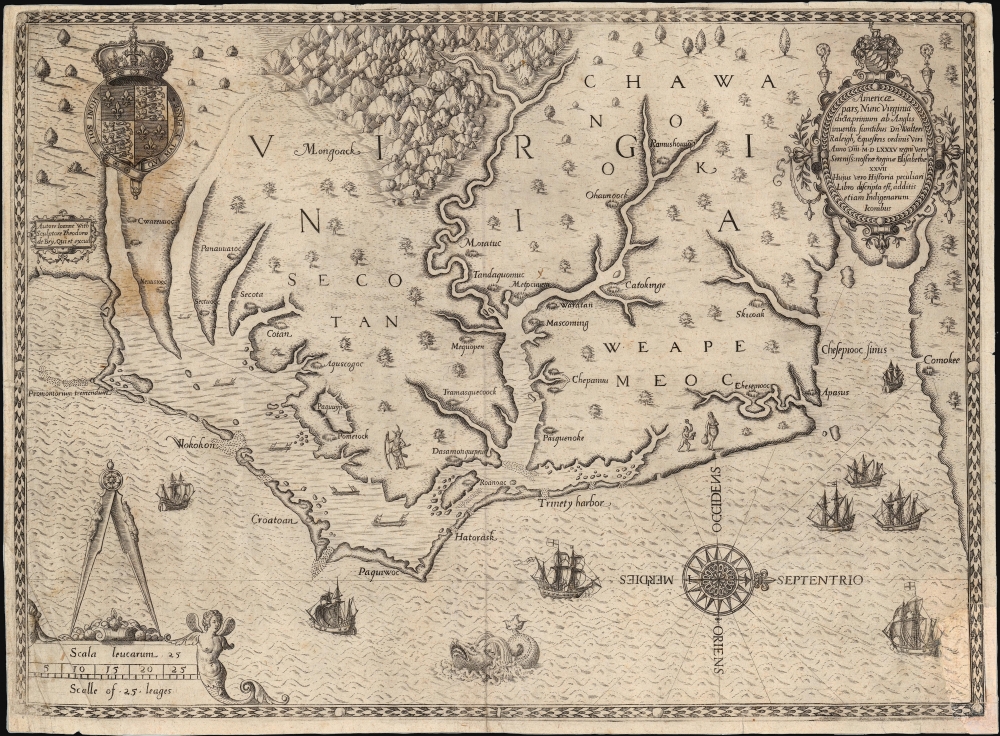
Americae Pars, Nunc Virginia dicta, primum ab Anglis inventa sumtibus Dn. Walteri Raleigh Equestris ordinis Viri Anno Dni. M.D LXXXV...
sold
- Digital Map Information
- Suitable for large format printing
- Full resolution TIFF file
- ICC color profile embedded
- Delivered instantly via download link
This is John White's 1590 map of the first Virginia colony. It is one of the first maps of any part of the modern-day United States, and the first map of a settled area produced by a colonist. Specifically, it is the first map to result from England's efforts to colonize North America. It is the earliest map available to the collector of Virginia and North Carolina, and it is the first map to name Chesapeake Bay. It is among the most influential early Americas maps, the traces of which are found on maps for decades to follow. (more details)
The best early map of Salt Lake City.
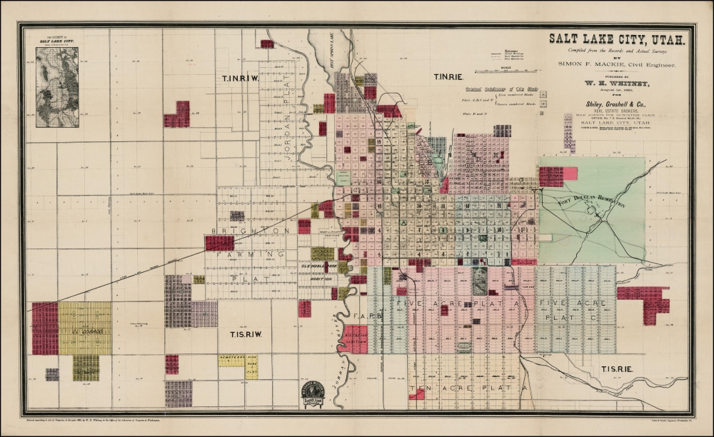
Salt Lake City, Utah.
sold
- Digital Map Information
- Suitable for large format printing
- Full resolution TIFF file
- ICC color profile embedded
- Delivered instantly via download link
This is the rare 1889 W. H. Whitney and Simon F. Mackie map of Salt Lake City, Utah. The map illustrates the early days of Salt Lake City as a stop on the Rio Grande Western Railway. This is one of Whitney's earliest maps of western cities, predating his contract with the Union Pacific. It combines the functions of a real estate map and a railroad map. An inset in the upper left offers an overview of the general area. (more details)
Unique early survey of Minetta Street.
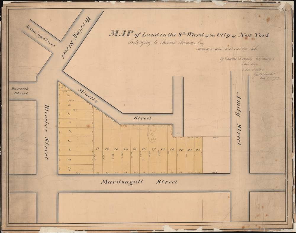
Map of Land in the 8th Ward of the City of New York Belonging to Robert Benson Esqr. Surveyed and Laid out in Lots by Edward Doughty, City Survey a true Copy Dec 6 1824 Geo B Smith City Surveyor.
sold
- Digital Map Information
- Suitable for large format printing
- DPI: 600
- File Size: 366.33 MB
- File Type: ZIP / TIFF
- ICC color profile embedded
- Delivered instantly via download link
This unique historical artifact is an 1824 manuscript map by Edward Doughty of Minetta Street and Minetta Lane, West Village, New York City. This is the earliest specific map to illustrate these streets, surveyed one year after New York businessman Robert Benson's death, likely to manage the distribution of the estate amongst his heirs. Not without chance, it is one year later in 1825 that the Minettas first appear in New York tax records (from maps to taxes). We further note this survey was used for the seizure and sale of these same lands at public auction by the City of New York in 1844. (The Evening Post, Jan 8, 1844, Page 4.) (more details)