
Pre-Columbian Discovery of America, or an Elaborate Hoax?
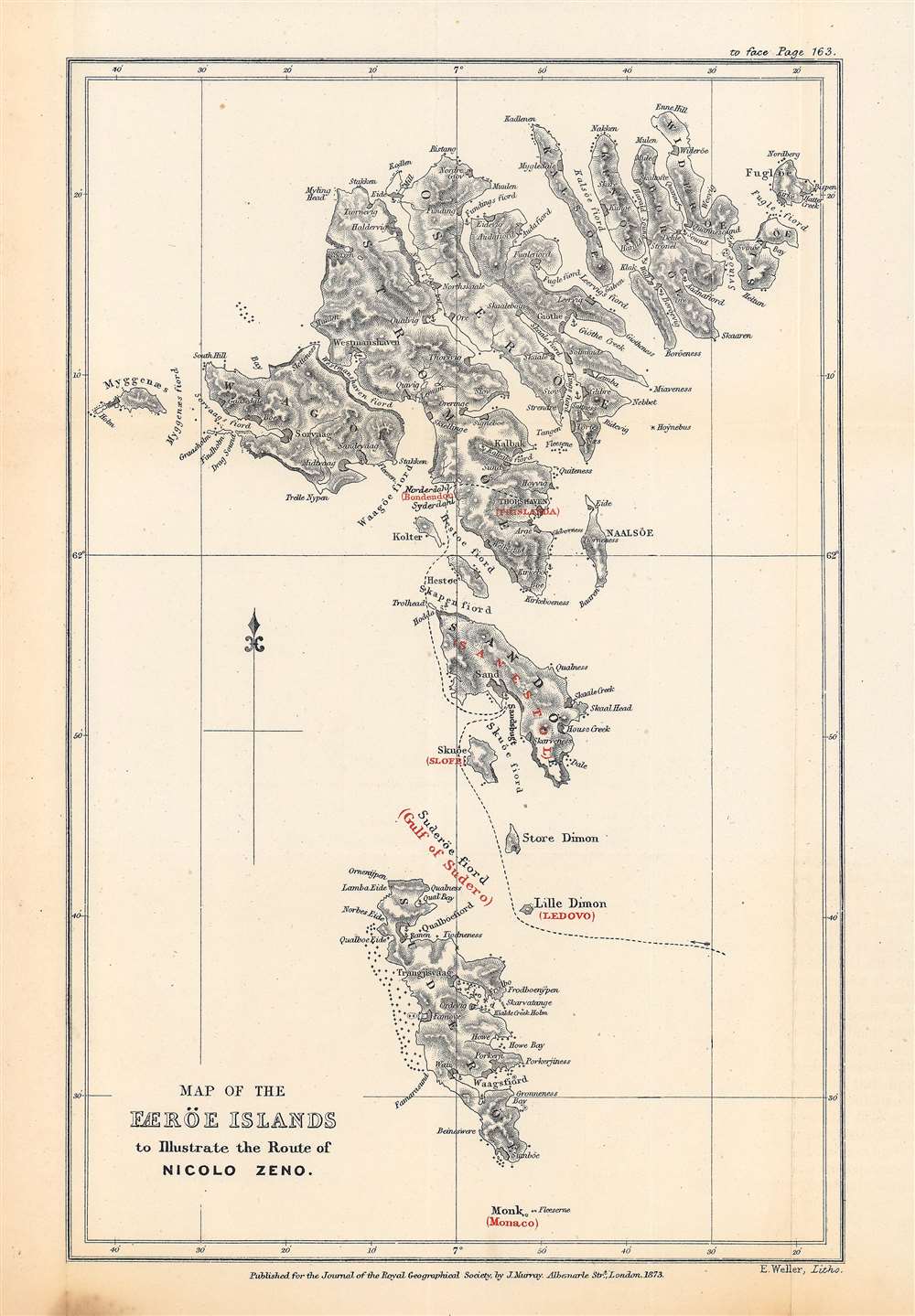
Map of the Færöe Islands, to Illustrate the Route of Nicolo Zeno.
sold
- Digital Map Information
- Suitable for large format printing
- File Size: 10.7 MB
- File Type: ZIP / TIFF
- ICC color profile embedded
- Delivered instantly via download link
This is Edward Weller's map of the Faroe Islands, published in 1873 in the Journal of the Royal Geographical Society, outlining the presumed route of Nicolò Zeno, a Venetian mariner who may have visited the islands in the late 14th century. The potential travels of Nicolò and his brother Antonio, including a possible discovery of the New World a century before Columbus, have been one of the most enduring debates in the history of cartography. (more details)
Lucian Boucher - not just for Air France.
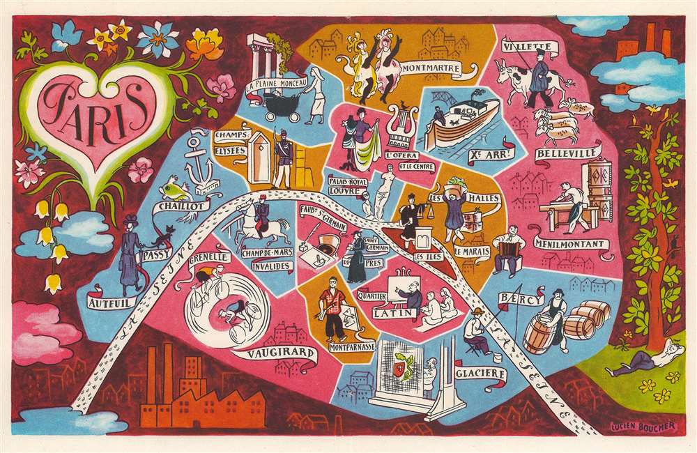
Paris.
sold
- Digital Map Information
- Suitable for large format printing
- File Size: 11.16 MB
- File Type: ZIP / TIFF
- ICC color profile embedded
- Delivered instantly via download link
This is a c. 1949 Lucien Boucher pictorial map of Paris, France. Pictorial vignettes illustrate Paris's most famous neighborhoods, including Saint-Germain-des-Prés, Champs-Elysées, Belleville, Menilmontant, Le Marais, and the Quartier Latin. Moulin Rouge showgirls can-can in Montmartre and a tourist admires the Venus de Milo in the Louvre. A canal boat plies the waters of the Canal Saint Martin and a military officer appears on horseback in Champ-de-Mars-Invalides. The Seine curves through Paris and the city is surrounded by a beautiful pictorial border. (more details)
First acquirable Mercator World Map.
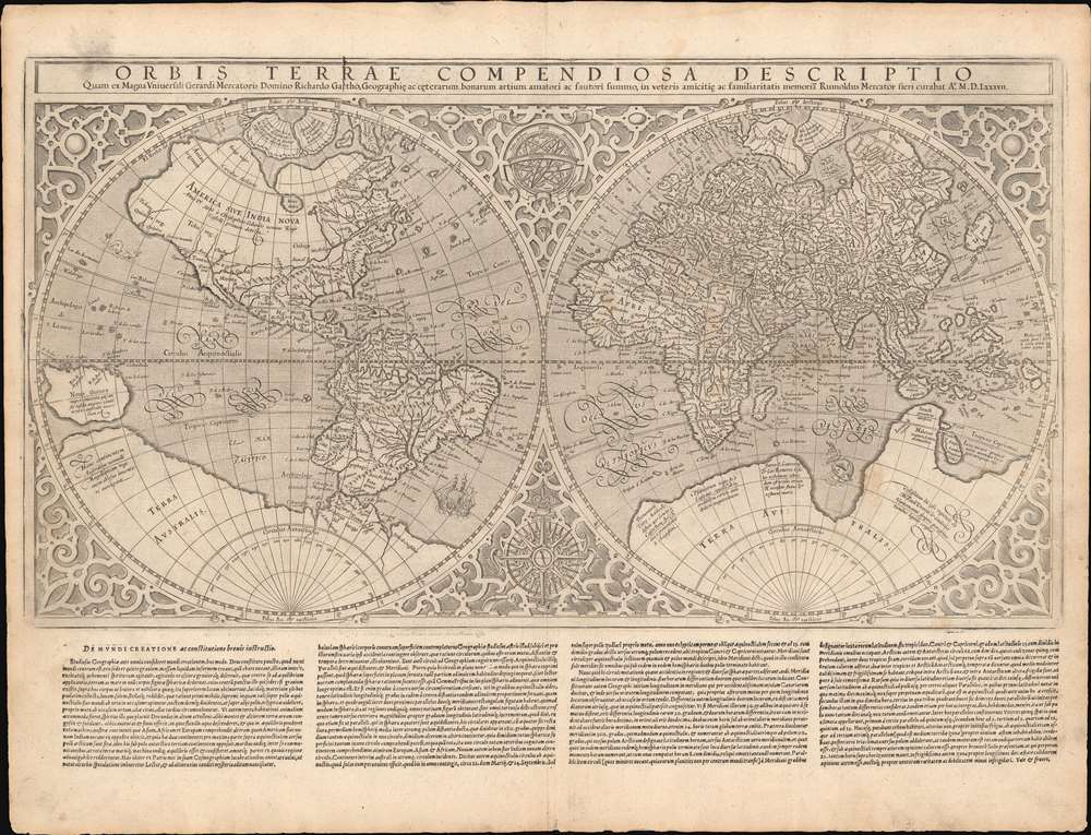
Orbis Terrae Compendiosa Descriptio...
sold
- Digital Map Information
- Suitable for large format printing
- Full resolution TIFF file
- ICC color profile embedded
- Delivered instantly via download link
This is Gerard and Rumold Mercator's 1587 double-hemisphere map of the world, in a handsome, untrimmed example in its first atlas edition. It is the only acquirable world map directly associated with the elder Mercator (his 1578 world map depicts only Ptolemaic knowledge). The map was executed by Gerard Mercator's son, Rumold, using a novel double-hemisphere format rather than his father's famous projection. The complex mathematics used to make the Mercator Projection may well have overtaxed Rumold's abilities - although it seems likely that the elder Mercator would have at least had some role in the production of this work: he was alive when it was completed and made its appearance in the 1587 Strabo. Whatever the reason for this decision, Maps using the Mercator Projection would not appear again for many years, but even so, the elder geographer's stamp is undeniable. (more details)
On the eve of the Texan Revolution...
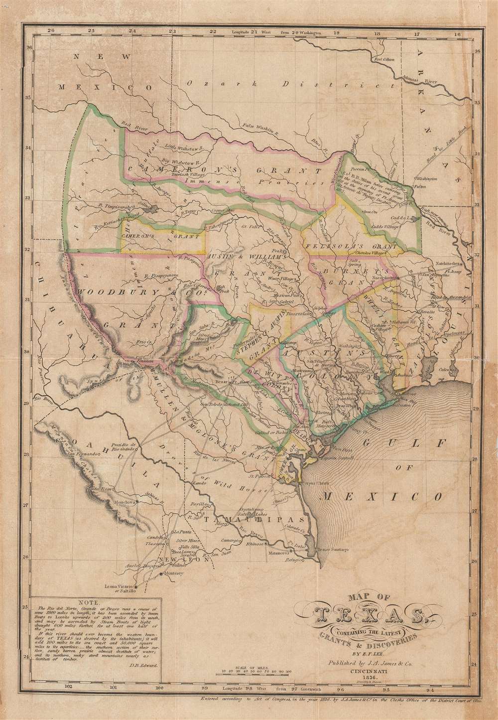
Map of Texas, containing the latest Grants and Discoveries by E. F. Lee.
sold
- Digital Map Information
- Suitable for large format printing
- DPI: 600
- File Size: 7.52 MB
- File Type: ZIP / TIFF
- ICC color profile embedded
- Delivered instantly via download link
The rare 1836 Edmund F. Lee map of Texas produced for David Barnett Edward's History of Texas - a seminal work published on the eve of the March 1836 Texan Revolution and founding of the Republic of Texas. The map is loosely derived from the Stephen Austin map, the only readily available source at the time, but has been reduced and revised by Lee for smaller format publication. It unveils Texas extending from the Sabine to the Nueces River and from Corpus Christi to the Red River. A note in the lower left expresses the Texan ambition to extend the boundary west as far as the Rio Grande. The map notes several early Texas Empresario Land Grants, including: 'McMullen and McGlone', Woodbury, Cameron (2), 'Austin and Williams', Austin, DeWitt, Austin's Colony, De Leon, Burnet, Powers, Whelin, Zavallo, and Felisola. (more details)
A Monumental Schoolgirl Map
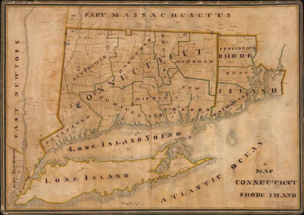
A Map of Connecticut and Rhode Island.
sold
- Digital Map Information
- Suitable for large format printing
- Full resolution TIFF file
- ICC color profile embedded
- Delivered instantly via download link
This is an impressive and painstaking 1828 manuscript schoolgirl map of Connecticut, Rhode Island, and Long Island - the largest such we have seen. Although Mary Ann D. Parker (1817 - 1842) was only 12 she drew this map, the work exhibits fine execution and a refined hand. Coverage extends from the Hudson River to Narragansett Bay and from New York City to Springfield, Massachusetts. Rivers, towns, counties, political boundaries, and some topographical features are noted. Along the northern border, a divot, the Southwick Jog, appears boldly. (more details)
Geographical Reassessment of the African Red Sea Coast.
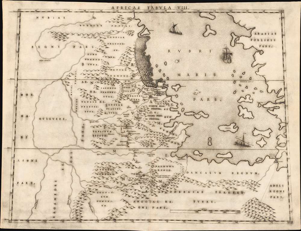
Africae Tabula VIII.
sold
- Digital Map Information
- Suitable for large format printing
- DPI: 600
- File Size: 20.66 MB
- File Type: ZIP / TIFF
- ICC color profile embedded
- Delivered instantly via download link
This elegant map of the Upper Nile and the Red Sea was printed in a single edition in 1588 for Livio and Giulio Sanuto's twelve-sheet 'atlas' of Africa. It is the first detailed and reasonably accurate map of what is today Eritrea, Djibouti, Ethiopia, and Sudan. While the general outline of Sanuto's map superficially resembles the 1564 Gastaldi Il disegno della geografia moderna de tutta la parte dell'Africa, its detail diverges sharply from that source, and any other contemporaneous map. This map thus represents a thorough reconsideration of African geography in the light of both conventional and newly available sources - marking it as a unique and underappreciated masterpiece of geographical thought. (more details)
Kiteguen and Kioumi - Maldanado's fictional discoveries in the Pacific Northwest.
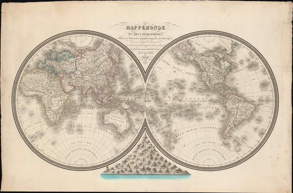
Mappemonde en Deux Hémisphères, Offrant un Tableau des Principales Hauteurs de Montagnes.
sold
- Digital Map Information
- Suitable for large format printing
- DPI: 600
- File Size: 901.13 MB
- File Type: ZIP / TIFF
- ICC color profile embedded
- Delivered instantly via download link
A dramatic separately-published French 1826 double-hemisphere map of the world by L. M. Berthe and A. R. Fremin. The map includes a bizzare and ephemeral treatment of the Pacific Northwest integrating the fictional discoveries of Maldonado (Kiteguen and Kioumi) and de Fonte (Valasco). It is further striking for its comparative Mountains chart at bottom center. (more details)
On the cusp of the Louisiana Purchase.

Cours Du Mississipi Comprenant La Louisiane, Les 2 Florides, Une Partie Des Etats-Unis, et Pays Adjacents.
sold
- Digital Map Information
- Suitable for large format printing
- Full resolution TIFF file
- ICC color profile embedded
- Delivered instantly via download link
A scarce 1803 map by Jean-Baptiste Poirson illustrating French Louisiana and the United States just prior to the Louisiana Purchase. Centered on the Mississippi River Valley, the map extends from the Great Lakes to the Gulf of Mexico, including parts of Texas, both East and west Florida, and contiguous parts of the United States. The map is noteworthy for its illustration of the fading Franco-Spanish presence in Louisiana. (more details)
Korea's southeast, including Busan.

[Gyeongsang].
sold
- Digital Map Information
- Suitable for large format printing
- DPI: 600
- File Size: 24.98 MB
- File Type: ZIP / TIFF
- ICC color profile embedded
- Delivered instantly via download link
This is a unique c. 1850 map of Gyeongsang Province (慶尙道) published in Korea during the late Joseon period (1392 - 1897). It provides substantial geographic and administrative information on Gyeongsang, one of the eight traditional provinces of Joseon. (more details)
The northernmost portion of Korea.

[Hamgyong].
sold
- Digital Map Information
- Suitable for large format printing
- DPI: 600
- File Size: 28.87 MB
- File Type: ZIP / TIFF
- ICC color profile embedded
- Delivered instantly via download link
This is a unique c. 1850 map of Hamgyŏng Province (咸鏡道) published in Korea during the late Joseon period (1392 - 1897). It provides substantial geographic and administrative information on Hamgyŏng, one of the eight traditional provinces of Joseon, now located in the Democratic People's Republic of Korea (North Korea). (more details)
Massive apocryphal Sea of the West!

L'Amerique Septentrionale Divisee en ses Principaux Etats.
sold
- Digital Map Information
- Suitable for large format printing
- DPI: 600
- File Size: 338.34 MB
- File Type: ZIP / TIFF
- ICC color profile embedded
- Delivered instantly via download link
An altogether fascinating first edition example of Jean Janvier's 1762 map of North America, including one of the most ambitious depictions of the Sea of the West ever published. Depicting the continent from Panama to the Arctic Circle, it also extends westward to include parts of Asia and eastward as far as Iceland. This map, which is heavily influenced by the theoretical mappings of Guillaume de l'Isle and Philippe Buache, went through several states, of which this is the first and possibly the most interesting. Janvier divides the continent according to the three colonial powers that controlled it, with England controlling its colonies along the east coast, France occupying Canada and Louisiana, and Spain dominating Mexico, Florida, Cuba and Central America. (more details)
One of the first accurate depictions of the Caspian Sea.
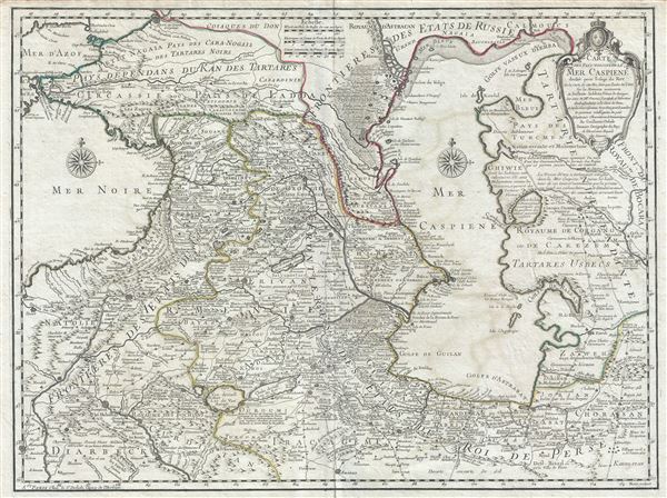
Carte des Pays voisins de la Mer Caspiene.
sold
- Digital Map Information
- Suitable for large format printing
- DPI: 300
- File Size: 18.08 MB
- File Type: ZIP / TIFF
- ICC color profile embedded
- Delivered instantly via download link
This is an attractive 1723 Guillaume De L'isle map of the Caucasus, one of the earliest to place Carl Van Verden and S. I. Soimonov's 1719-21 mapping of the Caspian Sea in the geographical context of the surrounding region. This is one of De L'isle's most important and misunderstood maps. Coverage extends from the Black Sea to Independent Tartary, and from Russia to Persia, inclusive of the entire Caspian Sea, and the modern-day nations of Georgia, Armenia, Azerbaijan, Kazakhstan, Turkmenistan, Iran, and Turkey. (more details)
The Earliest Collectible Printed Image of Belgrade.

Kriechisch Wyssenburg.
sold
- Digital Map Information
- Suitable for large format printing
- Full resolution TIFF file
- ICC color profile embedded
- Delivered instantly via download link
This is a 1564 Sebastian Münster xylographic view of Belgrade - the earliest printed image of that city obtainable. (more details)
Fin-de-siecle Cincinnati.

City of Cincinnati, Ohio and Vicinity.
sold
- Digital Map Information
- Suitable for large format printing
- Full resolution TIFF file
- ICC color profile embedded
- Delivered instantly via download link
This is a rare 1898 folding map of Cincinnati, Ohio by J. A. Stewart and C. S. Earnshaw. It shows the city during a period of breakneck growth, when it developed into a major transit hub on the Ohio River. (more details)
Poland and Lithuania, just after their partition.
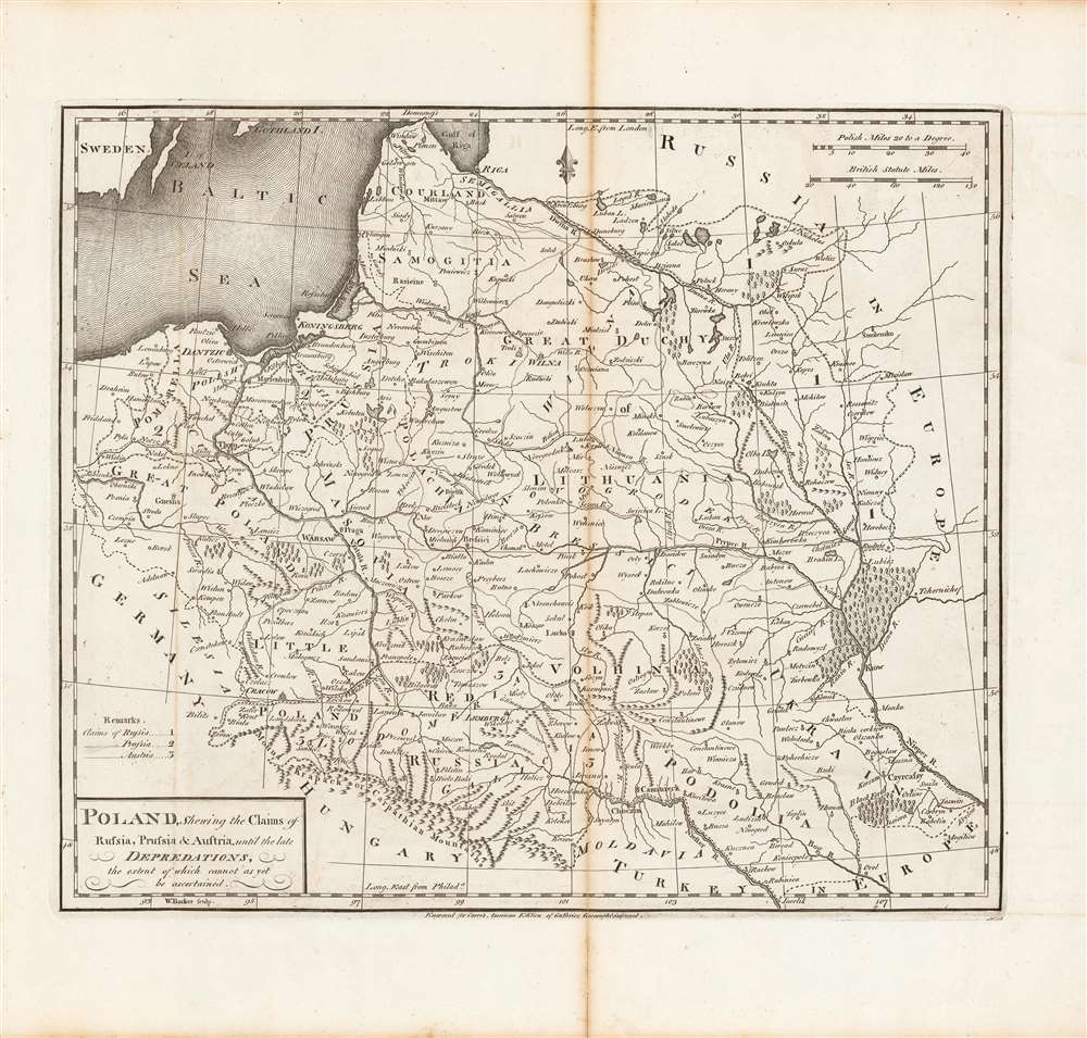
Poland, shewing the claims of Russia, Prussia and Austria until the late depredations, the extent of which cannot as yet be ascertained.
sold
- Digital Map Information
- Suitable for large format printing
- DPI: 600
- File Size: 33.06 MB
- File Type: ZIP / TIFF
- ICC color profile embedded
- Delivered instantly via download link
Here is Matthew Carey and William Barker's c. 1795 map, for Carey's General Atlas, of that lands that had composed the Polish-Lithuanian Commonwealth, which were broken up and distributed to Austria, Prussia, and Russia in the late 19th century. Aside from its cartographic qualities, this map is an instructive case study in knowledge production at a time of considerable change and instability. (more details)
Live in style in Florida.

Sales Plat Palm Beach Leisureville Tenth Section.
sold
This is a 1976 Boynton West Leisureville Association sales plat map of Palm Beach Leisureville in Boynton Beach, Florida. Depicting Leisureville from Woolbright Road to SW 23rd Avenue and from Congress Avenue to Lake Constantino, individual lots appear throughout the development, with each one numerically identified, and its dimensions noted. Streets are illustrated and labeled, along with the eighteen-hole golf course, the recreation building, the church site, and the fire station. Blank parcels of land are identified alphabetically. A sketch of the immediate vicinity of the development is situated to the right of the title, while a sketch illustrated the 'project location' within the entire state is to the left of the title. (more details)
The last days of Gran Colombia.

Columbia.
sold
- Digital Map Information
- Suitable for large format printing
- DPI: 600
- File Size: 40.15 MB
- File Type: ZIP / TIFF
- ICC color profile embedded
- Delivered instantly via download link
This is a beautiful 1831 John Dower and Henry Teesdale map of Gran Colombia, published in their A New General Atlas of the World. It depicts the state of Gran Colombia, which dissolved the same year this map was published, resulting in the creation of Venezuela, Ecuador, and a rump Republic of New Granada. (more details)
State parks and other attractions.
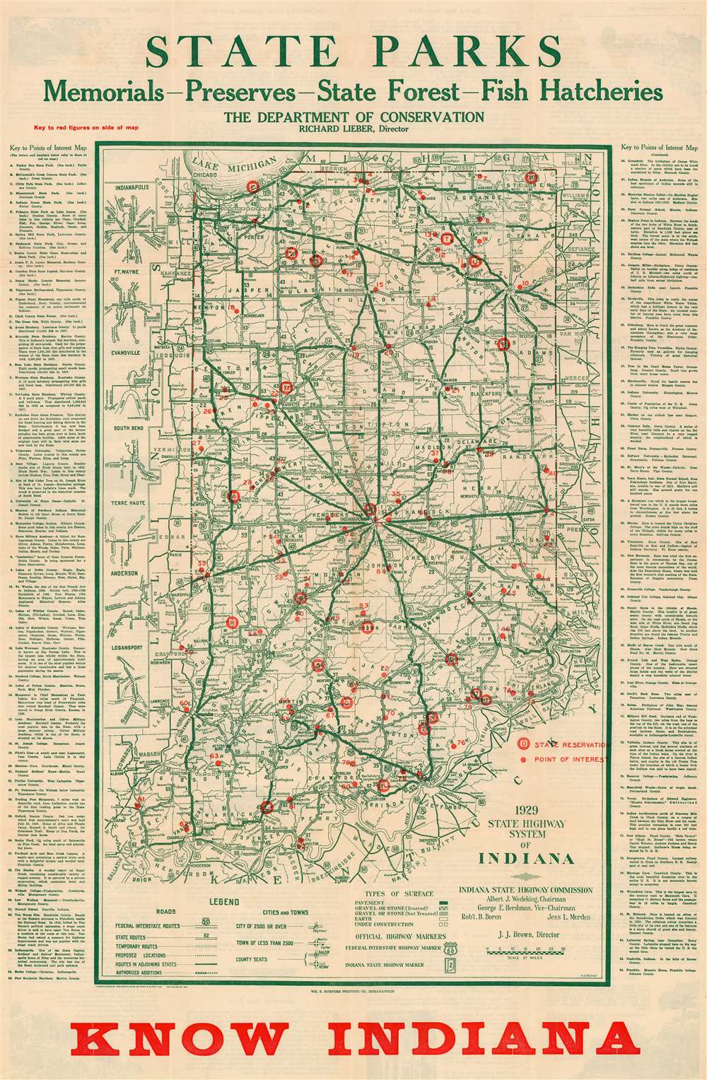
Map Showing Points of Interest in Indiana.
sold
- Digital Map Information
- Suitable for large format printing
- Full resolution TIFF file
- ICC color profile embedded
- Delivered instantly via download link
This is a 1929 Harry D. Bodine map of Indiana highlighting state parks and other important sites. Red overprinting marks twenty-two state parks, monuments, and other important sites, including Turkey Run State Park, Indiana Dunes State Park, and five fish hatcheries. Numbers mark eighty-four locations across the state: Valparaiso University, the University of Notre Dame, DePauw University, and Indiana University. Cities and towns are labeled throughout, and Indiana's road network appears in detail, with road grades (noted as pavement, gravel or stone, and earth) differentiated. Detailed descriptions of certain sites, including the fish hatcheries, Turkey Run State Park, and Spring Mill State Park, occupy the verso. (more details)
The sole recorded example.

View of the Borough of Greenwich Connecticut.
sold
- Digital Map Information
- Suitable for large format printing
- File Size: 61.28 MB
- File Type: ZIP / TIFF
- ICC color profile embedded
- Delivered instantly via download link
This is the sole recorded example of Hughes / Bailey 1904 bird's-eye view of Greenwich, Connecticut. Presenting the town and its surrounds amidst rolling, wooded hills, the view encompasses the area roughly bounded by Railroad Avenue in the south, Old Church Road to the East, and Oakridge Street to the west. North Maple Avenue can be spied in the distance. Streets are labeled on the view itself. The town's buildings are rendered in detailed perspective. (more details)
Horsburgh chart of Singapore as the epicenter of British Power in east Asia.
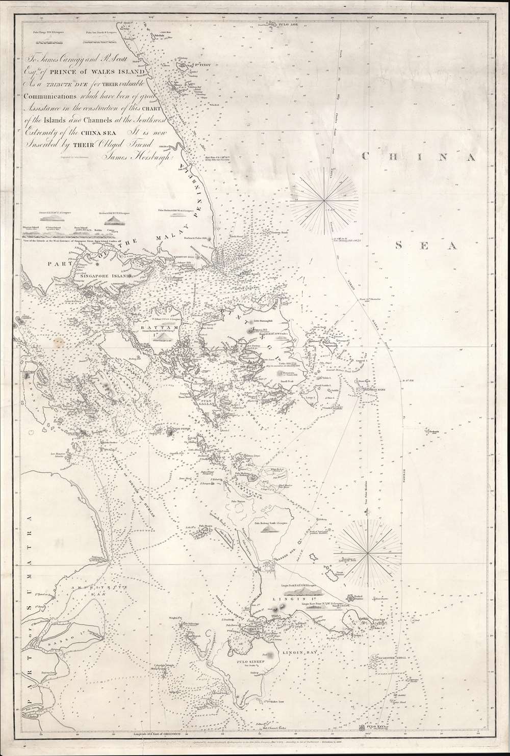
To James Carnegy and R. Scott Esqrs. of Prince of Wales Island As a Tribute due for their valuable Communications which have been of great Assistance in the construction of this chart of the Islands and Channels at the Southwest Extremity of the China Sea. It is not Inscribed by their Obliged Friend James Horsburgh.
sold
- Digital Map Information
- Suitable for large format printing
- DPI: 600
- File Size: 1154.6 MB
- File Type: ZIP / TIFF
- ICC color profile embedded
- Delivered instantly via download link
The rare 1850 final edition of the James Horsburgh nautical map of Singapore and the surrounding waters when it was the epicenter of British power in the East Indies. The chart covers the southern extreme of the Malay Peninsula, including all of Singapore Island and Singapore Strait, as well as adjacent islands and parts of eastern Sumatra. It was Horsburgh's first chart of the dangerous waters surrounding the Strait of Singapore and was the definitive mapping of these seas for nearly 30 years. (more details)