
NEW ACQUISITIONS
The 1949 Armistice Agreement - 'the Green Line'.
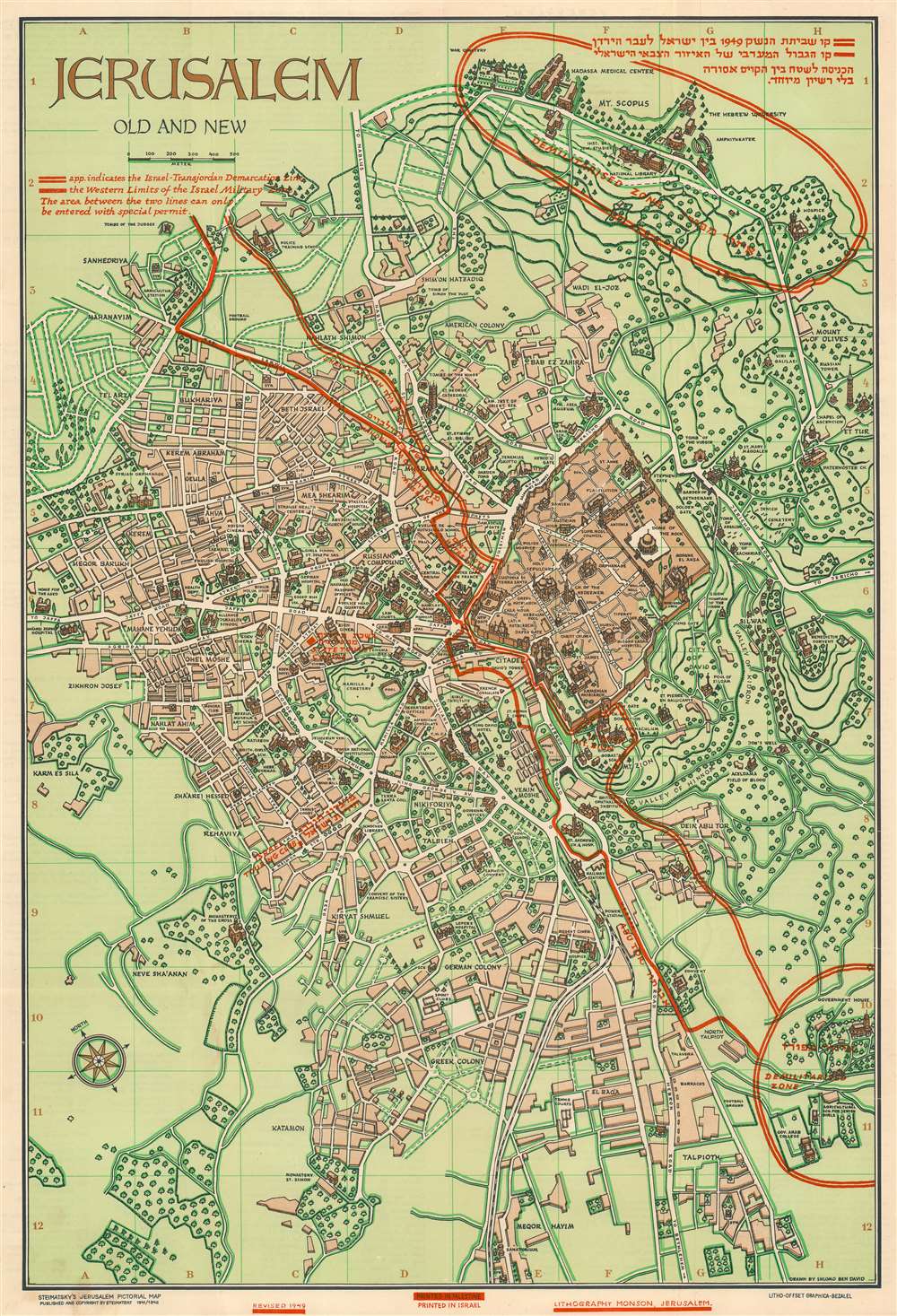
Jerusalem Old and New.
$650.00
Acquire
- Digital Map Information
- Suitable for large format printing
- Full resolution TIFF file
- ICC color profile embedded
- Delivered instantly via download link
This is a 1949 Steimatzky pictorial map of Jerusalem. The map boldly illustrates the 1949 'Green Line' (although it's illustrated here in red). The 'Green Line' separated Israeli and Jordanian-controlled areas of Jerusalem following the 1948 Arab-Israeli War. (more details)
The Burlington Route.
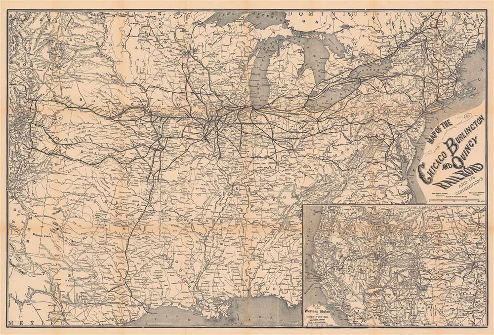
Map of the Chicago Burlington and Quincy Railroad and its Connections.
$575.00
Acquire
- Digital Map Information
- Suitable for large format printing
- Full resolution TIFF file
- ICC color profile embedded
- Delivered instantly via download link
This is an 1878 Rand McNally railroad map of the United States featuring the Chicago, Burlington, and Quincy Railroad. The Chicago, Burlington, and Quincy (CBQ) is highlighted in Illinois, Iowa, and Missouri. Thinner lines trace connecting railroads, including the 'Burlington and Missouri River Railroad', and the 'Burlington, Cedar Rapids, and Northern Railroad'. Other important connections include the Union Pacific, Kansas Pacific, 'Denver and Rio Grande', and the 'Atchison, Topeka, and Santa Fe' railroads. An inset map in the lower right depicts the western United States and its own expanding railroad network. (more details)
Use a transparency to find nearly any street in Buenos Aires.
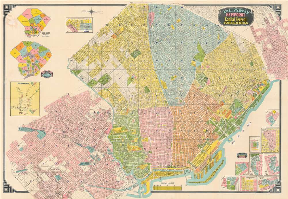
Plano Bemporat de la Capital Federal y Avellaneda.
$450.00
Acquire
This is a c. 1966 Bemporat city map of Buenos Aires, Argentina. Buildings throughout are illustrated and identified, including the River Plate football team's stadium, the 'Hipodromo Argentino', sports clubs, hospitals, and municipal buildings. City parks and squares leap off the page in bright green. Streets throughout are labeled and city blocks numbered, facilitating navigation. Nine insets situated in the lower right detail neighborhoods. Insets in the upper left illustrate municipal divisions and police precincts. A final inset, along the left border, depicts the Buenos Aires subway network, known as the Subte de Buenos Aires. (more details)
Green guide of the Evergreen State.
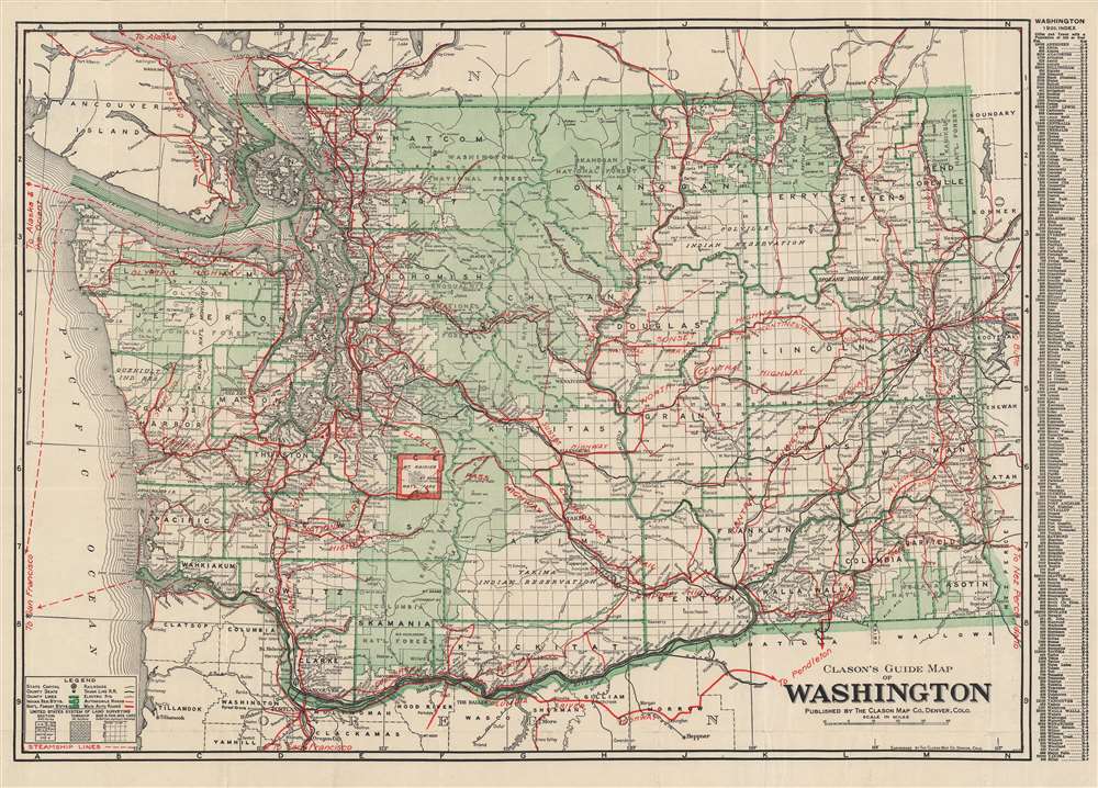
Clason's guide map of Washington.
$400.00
Acquire
- Digital Map Information
- Suitable for large format printing
- Full resolution TIFF file
- ICC color profile embedded
- Delivered instantly via download link
This is a very nice example of Clason's c. 1920 Washington State road and railway map. It highlights the state's infrastructure, while also showing information on national parks, Indian reservations, and administrative divisions. (more details)
Hunt for gold in northern California!
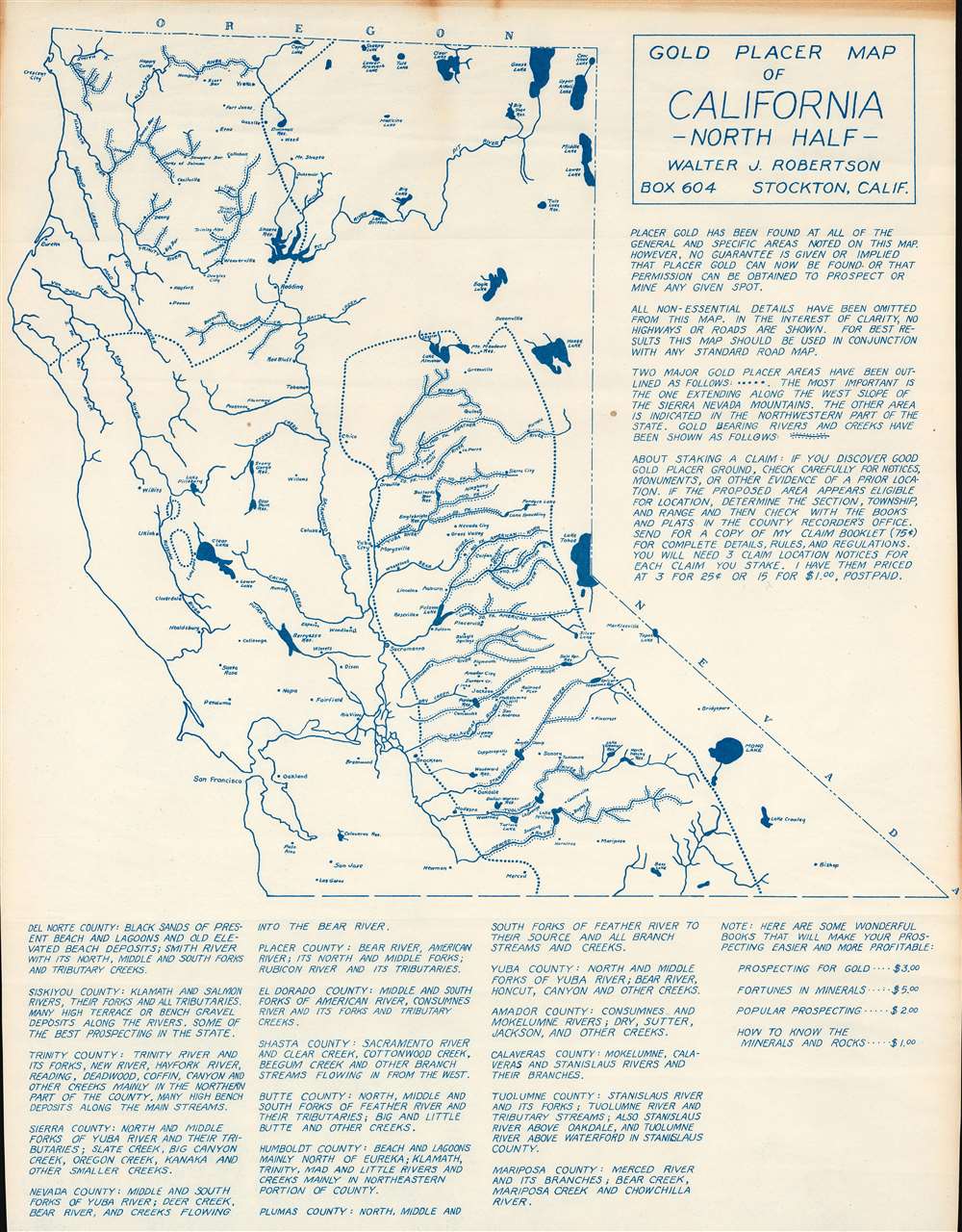
Gold Placer Map of California - North Half.
$375.00
Acquire
This is a c. 1956 Walter J. Robertson diazotype map of northern California placer gold deposits. Dotted lines outline regions where placer gold had been discovered: one in northwestern California and another along the western slopes of the Sierra Nevada Mountains. Dots line the banks of numerous rivers, illustrating where individuals hunting for gold might have some luck. Apart from these important rivers, very little else is illustrated here. Robertson states that this was a choice he made 'in the interest of clarity'. (more details)
Mauch scouts out the Mozambican interior.
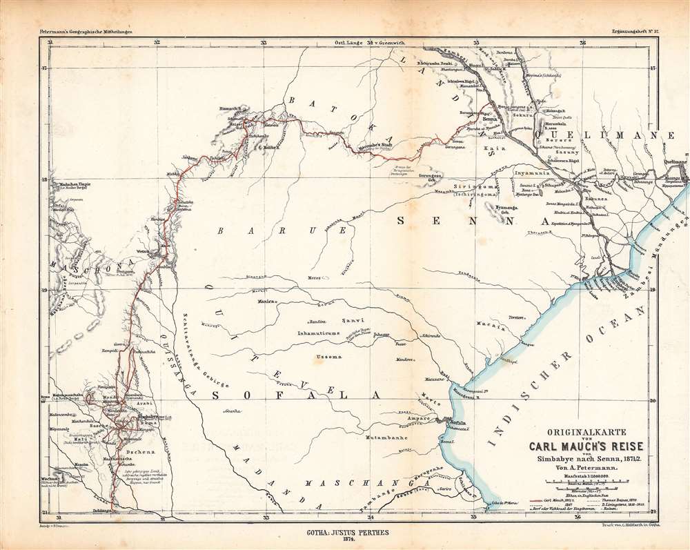
Originalkarte von Carl Mauch·s Reise von Simbabye nach Senna, 1871/72.
$350.00
Acquire
- Digital Map Information
- Suitable for large format printing
- File Size: 16.81 MB
- File Type: ZIP / TIFF
- ICC color profile embedded
- Delivered instantly via download link
This is an 1874 Augustus Petermann map of central Mozambique, tracing the journey of Carl (or Karl) Mauch, a German explorer. It depicts the area between the Zambezi and Save Rivers, where the Portuguese had long maintained a coastal presence with more tenuous control inland. (more details)
From the sea to the Sudan.
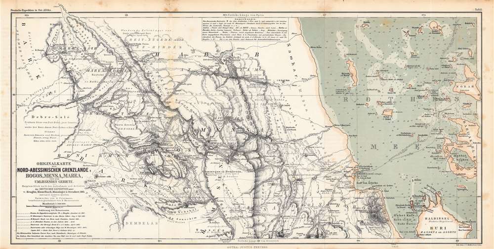
Originalkarte der Nord-Abessinischen Grenzlande Bogos, Mensa, Marea und der umliegenden Gebiete...
$350.00
Acquire
- Digital Map Information
- Suitable for large format printing
- File Size: 37.15 MB
- File Type: ZIP / TIFF
- ICC color profile embedded
- Delivered instantly via download link
This is an 1864 Augustus Petermann and Bruno Hassenstein map of what is today Eritrea, including a nautical chart of the Red Sea along the Eritrean coast. It illustrates the routes of mid-19th century European explorers from the Red Sea westwards to the Sudan. (more details)
Tracing the route of the Nile.
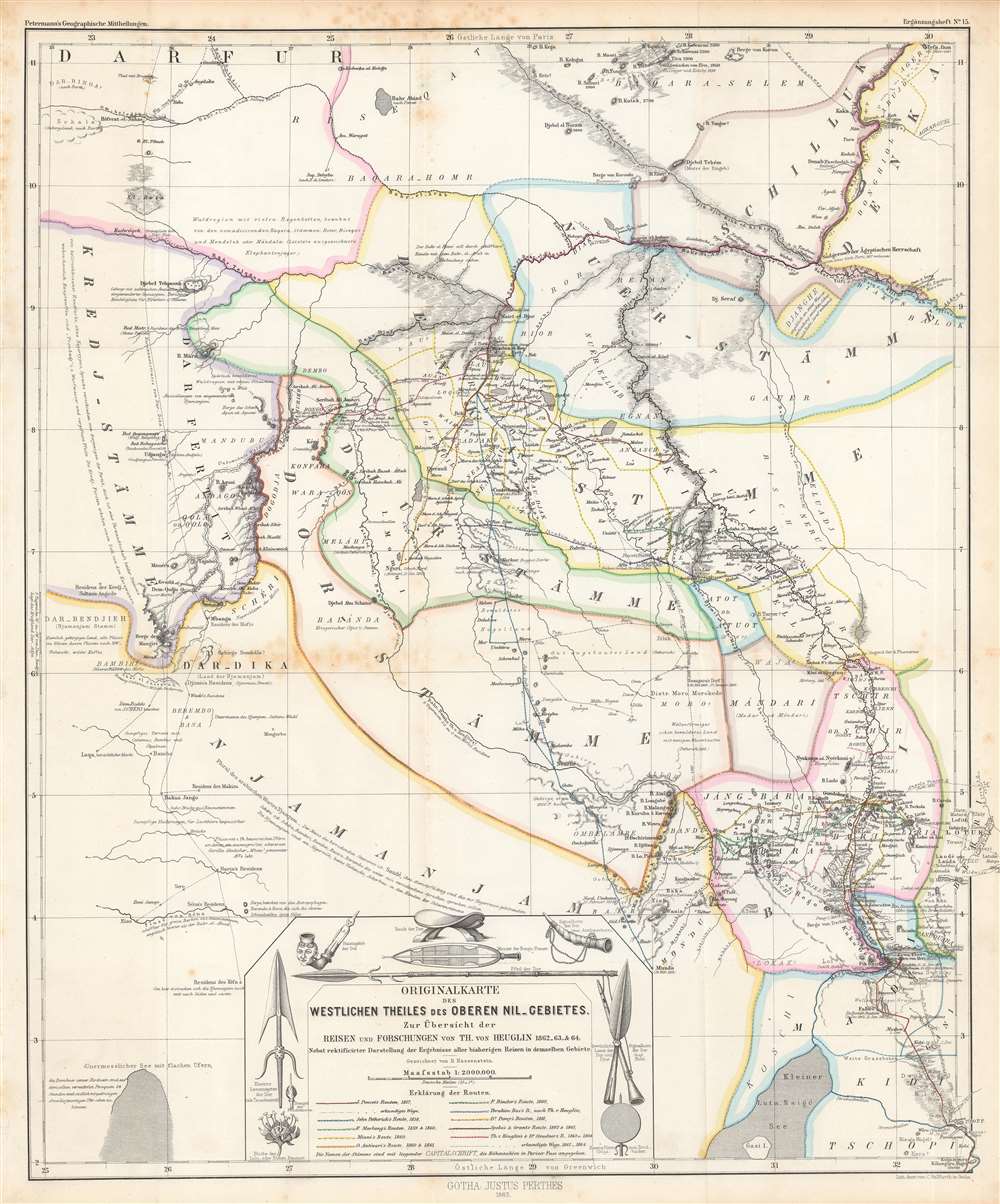
Originalkarte des westlichen Theiles des oberen Nil-Gebietes zur Übersicht der Reisen und Forschungen...
$275.00
Acquire
- Digital Map Information
- Suitable for large format printing
- File Size: 39.41 MB
- File Type: ZIP / TIFF
- ICC color profile embedded
- Delivered instantly via download link
This is a detailed 1865 Bruno Hassenstein map of the Upper White Nile, concurrent with the eastern part of today's South Sudan. It traces the routes of German and other European explorers of the mid-19th century, including those whose journeys had recently concluded in the months and years prior to publication. (more details)
The 51st State.
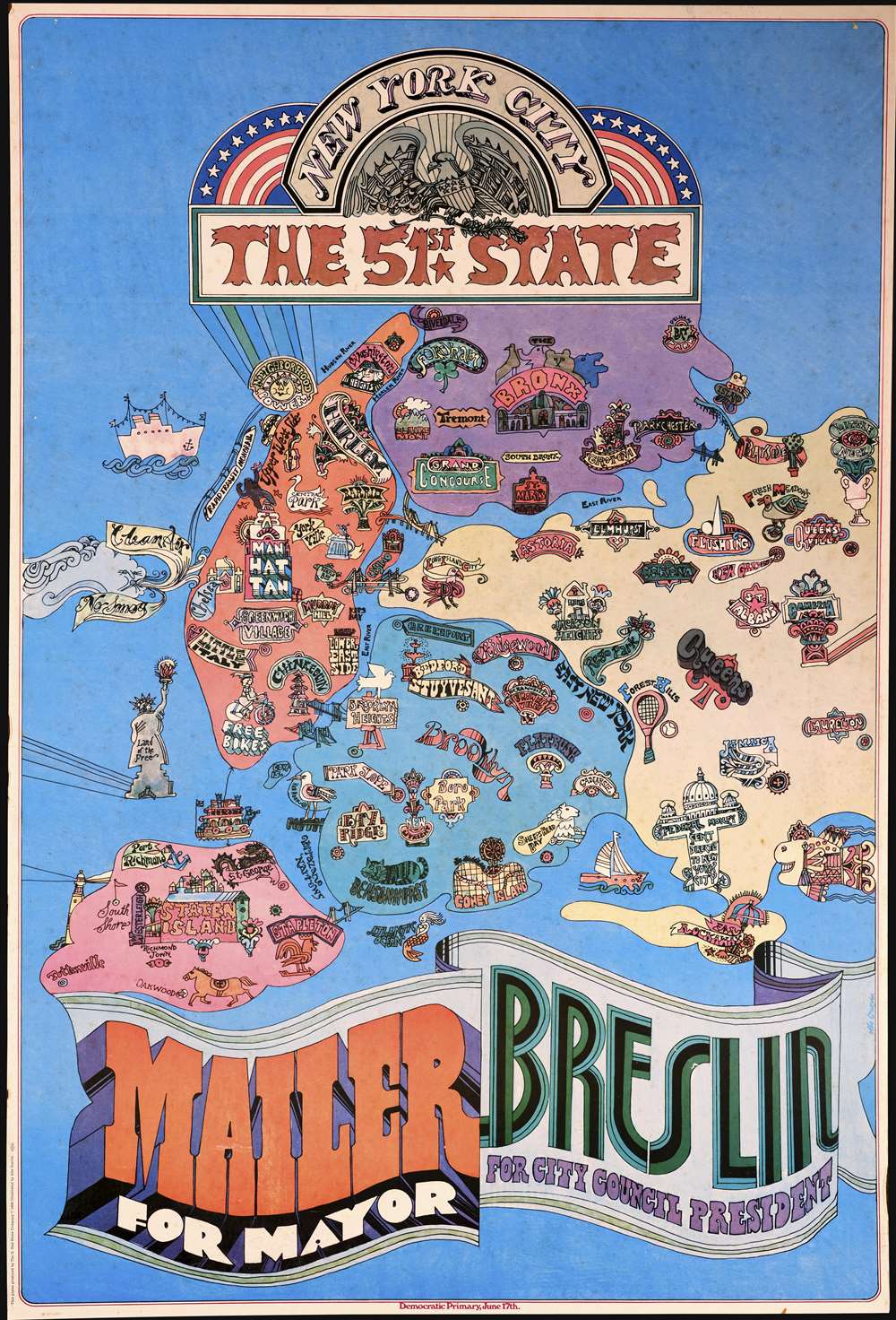
New York City: The 51st State.
$1,200.00
Acquire
This is a 1969 Abe Gurvin pictorial map of New York City, created as a campaign poster for the Norman Mailer - Jimmy Breslin campaign promoting the idea that New York City should secede from New York, becoming its own state. Mailer and Breslin ran on this platform in the 1969 New York City Democratic Mayoral Primary Election. The Fillmore-style poster evokes the Summer of Love and incorporates a recognizable map of New York City. King Kong marks Manhattan and appears atop the Empire State Building battling planes. The Bronx Zoo and New York Botanical Gardens represent the Bronx, Queens, Brooklyn, and Staten Island are not marked in the same way using landmarks to personify the borough. Certain neighborhoods also garner this treatment, including Coney Island (roller coaster), Forest Hills (tennis racket and tennis ball), and Far Rockaway (a beach and a beach umbrella). (more details)
Laying the French-Atlantic Cable.
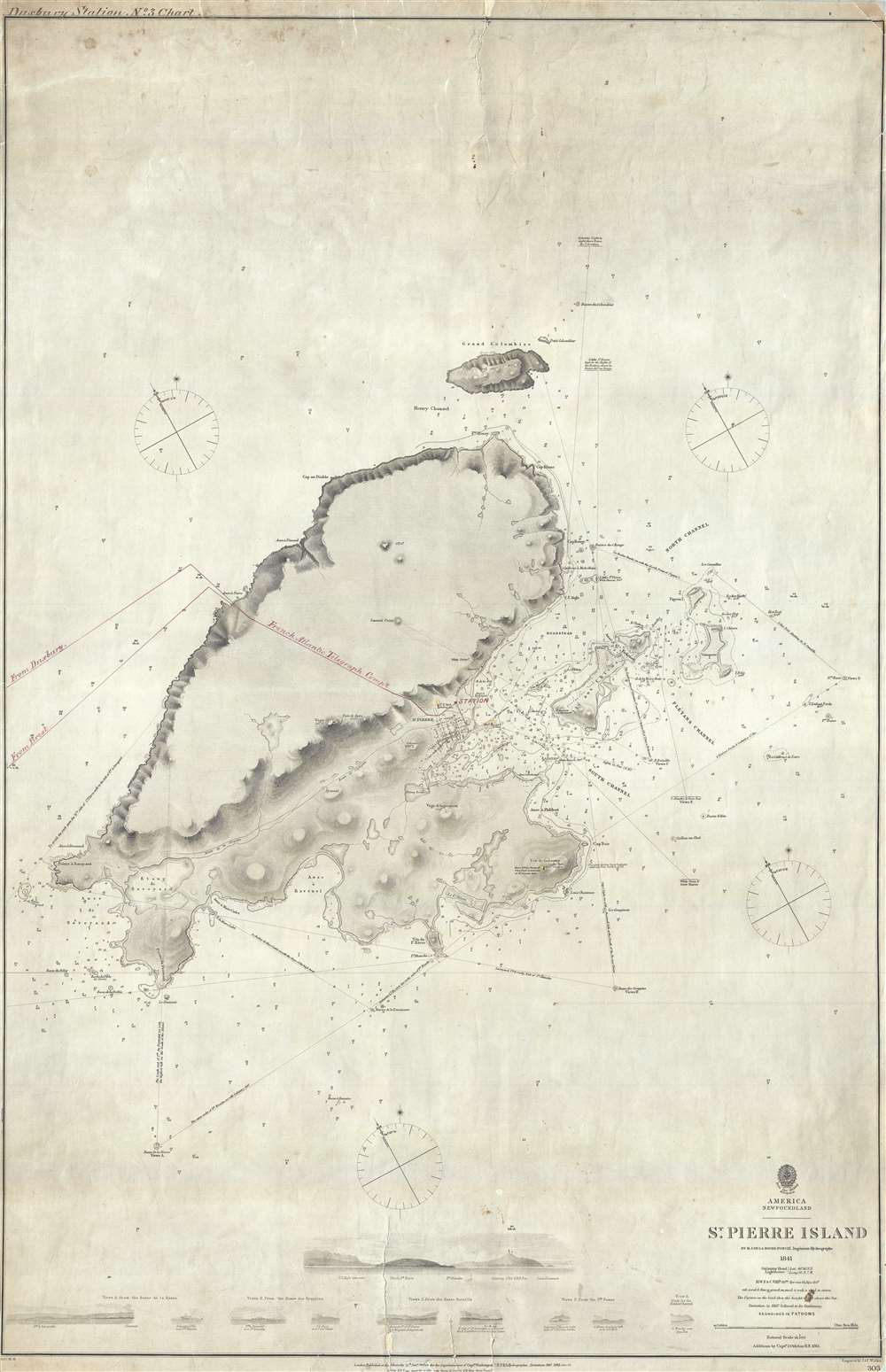
St. Pierre Island.
$750.00
Acquire
- Digital Map Information
- Suitable for large format printing
- File Size: 18.89 MB
- File Type: ZIP / TIFF
- ICC color profile embedded
- Delivered instantly via download link
A rare 1861 map of France's last colony in North America, the tiny island of St. Pierre of the coast of Newfoundland, with manuscript additions related to the French Atlantic Telegraph Company. This chart covers all of St. Pierre Island as well as the adjacent islands and the surrounding seas. The harbor community of St. Pierre is detailed with individual streets and buildings recognizable. This map is noteworthy not only for its rarity but also for the manuscript addition of the course of the French Atlantic Telegraph. (more details)
Beer Capital of the World.
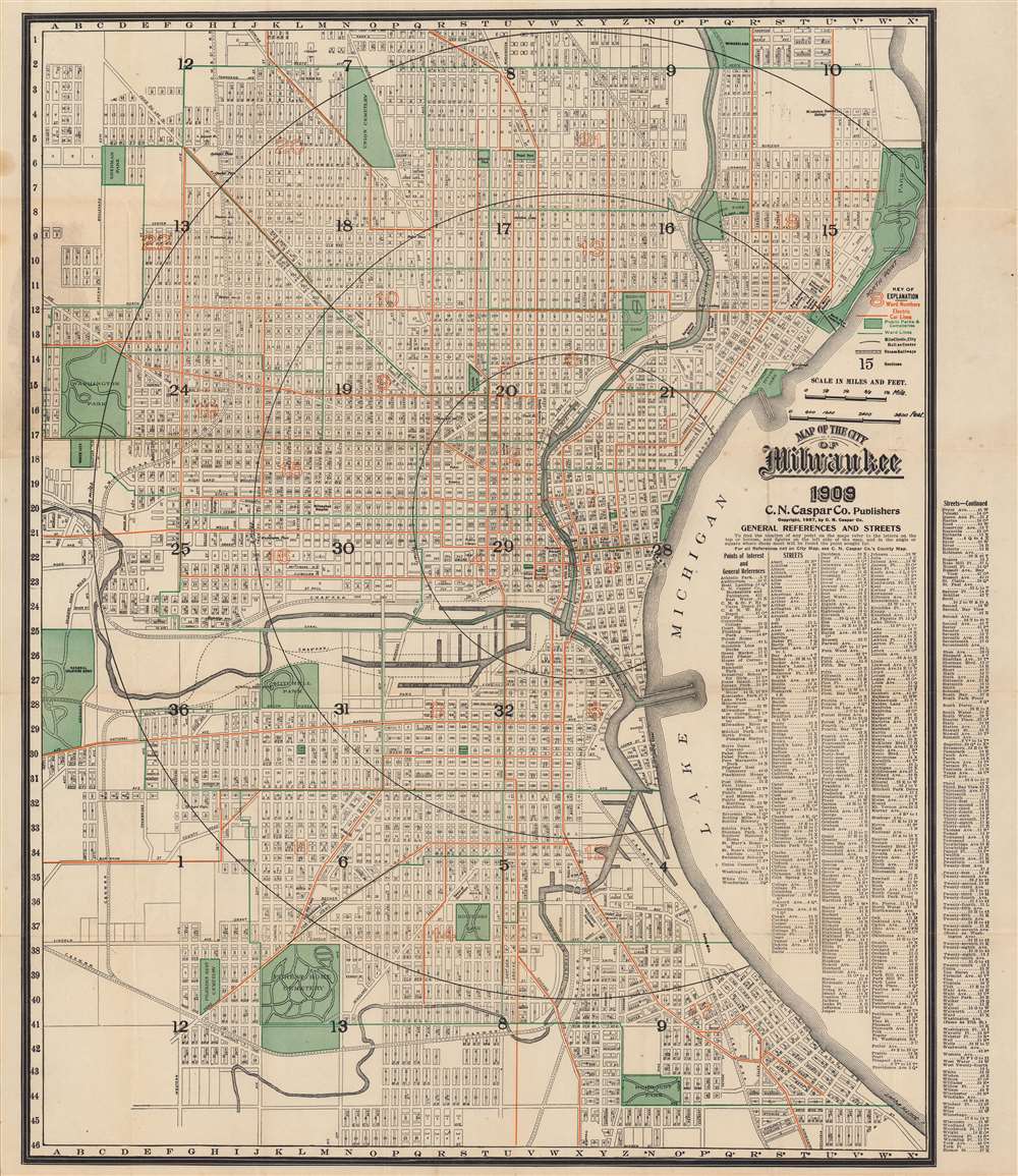
Map of the City of Milwaukee.
$650.00
Acquire
- Digital Map Information
- Suitable for large format printing
- Full resolution TIFF file
- ICC color profile embedded
- Delivered instantly via download link
A dramatic and scarce 1909 city plan or map of Milwaukee, Wisconsin by the C. N. Caspar Company. The map illustrates the city during a period of rapid growth and industrialization, spurred in large part by the brewing industry, which earned the city the nickname ‘Beer Capital of the World’. (more details)
One of the first maps of Florida as a state.
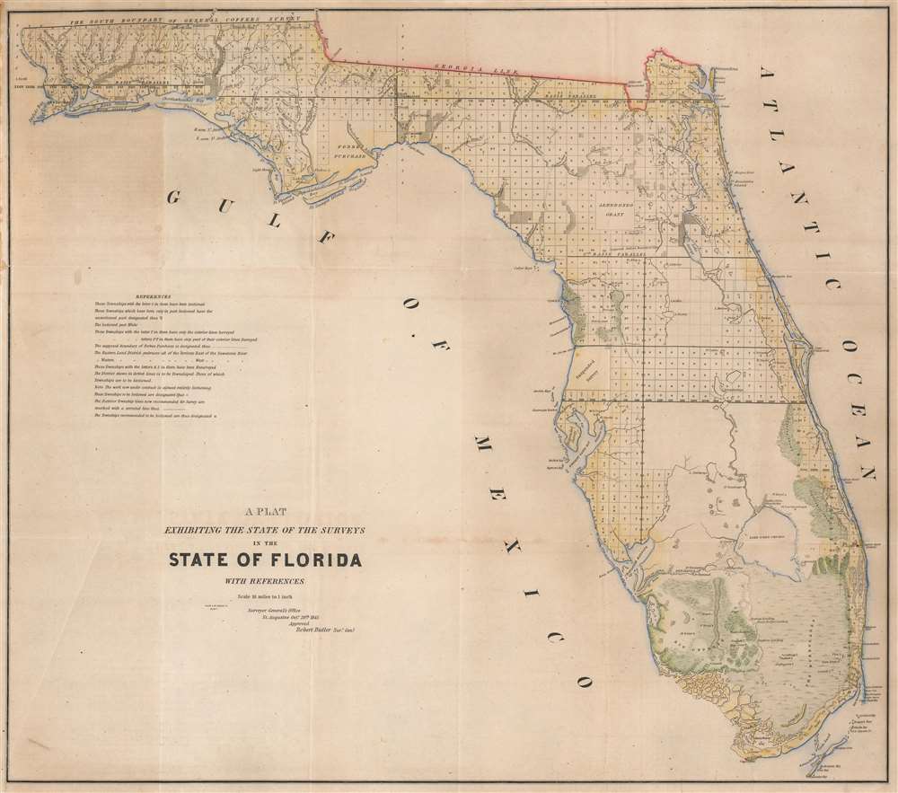
A Plat Exhibiting the State of the Surveys in the State of Florida with References.
$650.00
Acquire
- Digital Map Information
- Suitable for large format printing
- DPI: 600
- File Size: 66.93 MB
- File Type: ZIP / TIFF
- ICC color profile embedded
- Delivered instantly via download link
One of the first (if not the first) maps of Florida after it became a state, this is an 1845 Robert Butler map of Florida illustrating the progress of the Public Land Survey System in the newly admitted state. (more details)
One of America's great urban parks.
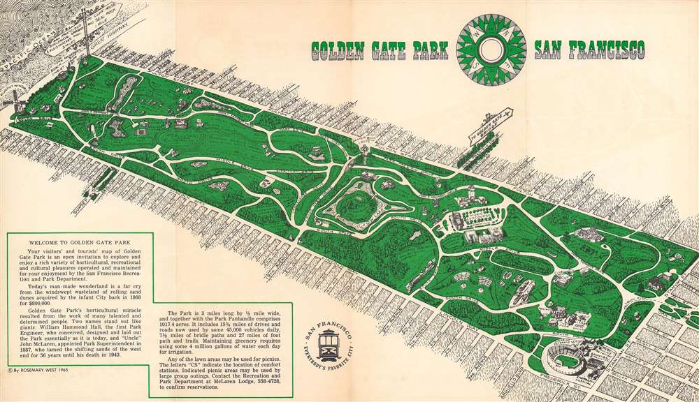
Golden Gate Park, San Francisco.
$550.00
Acquire
This is a lovely 1965 Rosemary West bird’s eye view of Golden Gate Park in San Francisco. It was published by the San Francisco Convention and Visitors Bureau on the eve of the explosion of the hippie movement, in which the park itself played an important role. (more details)
The NEW Overland Trail.
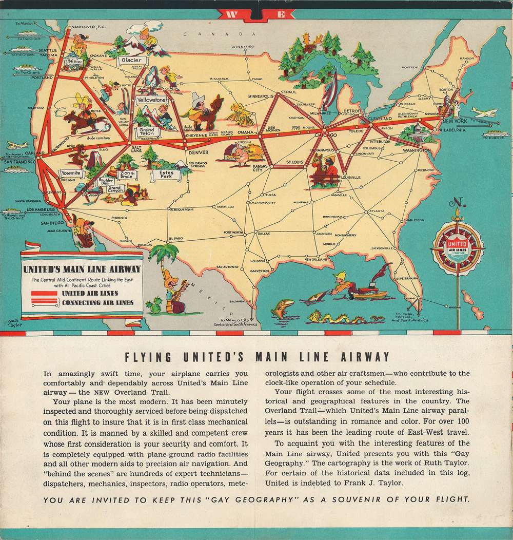
United Air Lines. A Gay Geography of the Main Line Airway.
$500.00
Acquire
- Digital Map Information
- Suitable for large format printing
- Full resolution TIFF file
- ICC color profile embedded
- Delivered instantly via download link
This is a lively c. 1938 pictorial map brochure for United Airlines drawn by Ruth Taylor White, based on her 1935 book Our U.S.A. - A Gay Geography . The maps show the airline’s Central Mid-Continent Route (or Main Line Airway) linking New York and San Francisco, with adjoining lines branching off in the Midwest and western United States. In the days before music and movies were available to airline passengers, this brochure would have provided badly-needed entertainment to fill the hours of cross-country flight time. (more details)
Nassau River and the southern part of Amelia Island.
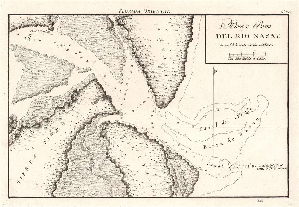
Boca y Barra del Rio Nasau.
$450.00
Acquire
- Digital Map Information
- Suitable for large format printing
- DPI: 600
- File Size: 11.45 MB
- File Type: ZIP / TIFF
- ICC color profile embedded
- Delivered instantly via download link
A rare find, this is the beautifully engraved 1809 Dirección de Hidrografía nautical chart or map of the mouth of the Nassau River, just to the south of Amelia Island. Florida. The river’s banks are depicted in as much detail as was likely available at the time, with only one point labeled, Pta. del Tenedero. Depth soundings populate both the northern and southern channels on either side of the Barra de Nasau. (more details)
Months before the partition.
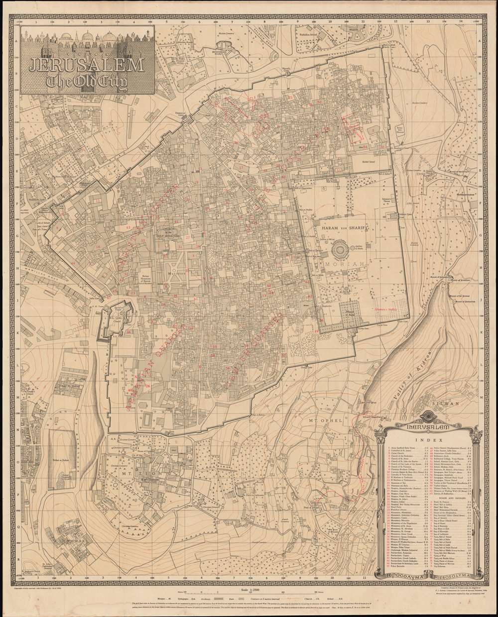
Jerusalem. The Old City.
$400.00
Acquire
- Digital Map Information
- Suitable for large format printing
- File Size: 87.5 MB
- File Type: ZIP / TIFF
- ICC color profile embedded
- Delivered instantly via download link
This is a second edition 1945 Frederick John Salmon city plan or map of Jerusalem's Old City. Notable sites are identified, with particular emphasis on Temple Mount. The Dome of the Rock, the Al Aqsa Mosque, and Solomon's Stables (now the El-Marwani Mosque), are labeled, among other sites. Sixty-three sites throughout are numerically labeled and correspond with an index in the lower right. Outside the Old City, King David's Tomb and the Church of the Dormition appear on Mt. Zion. Several hospitals, schools, and cemeteries are also identified. (more details)
Paris by American soldiers for American soldiers.
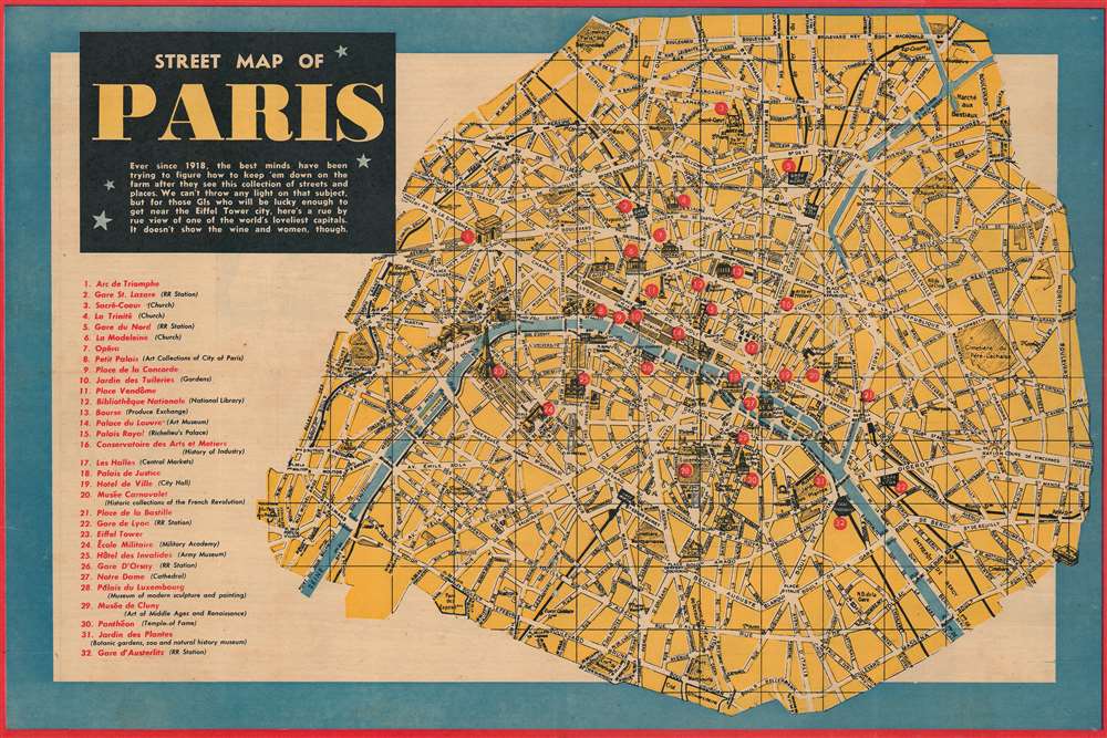
Street Map of Paris.
$325.00
Acquire
- Digital Map Information
- Suitable for large format printing
- Full resolution TIFF file
- ICC color profile embedded
- Delivered instantly via download link
Created by U.S. Army soldiers for U.S. Army soldiers during World War II, this fantastic 1944 pictorial map of Paris published in Yank magazine highlights the fascination U.S. military personnel had with the City of Light. The map proclaims this desire to see Paris just below the title. The text reads:
Ever since 1918, the best minds have been trying to figure out how to keep 'em down on the farm after they see this collection of streets and places. We can't throw any light on that subject, but for those GIs who will be lucky enough to get near the Eiffel Tower city, here's a rue by rue view of one of the world's loveliest capitals. It doesn't show the wine and women, though.(more details)
The City of Light just before the July Revolution.

Nouveau Plan Itinéraire de la Ville de Paris divisé en 12 Arr. avec tous les Edifices publics.
$950.00
Acquire
- Digital Map Information
- Suitable for large format printing
- Full resolution TIFF file
- ICC color profile embedded
- Delivered instantly via download link
This is a beautifully engraved 1833 Nicolas Maire and Eugène Andriveau-Goujon city plan or map of Paris, France. Predating Baron Hausmann's renovation of Paris, the city's iconic jumble of large boulevards and small streets leaps off the page. Nearly every illustrated street is identified. Sites notesd include the Louvre, the Invalides, Notre Dame, and the Jardin des Tuileries. Today's Jardin des Plantes, a popular park, is labeled as the Jardin du Roi and the Place de la Concorde is the Place Louis XVI. (more details)
Illustrates the Russo-Japanese War on a local, regional, and global scale.
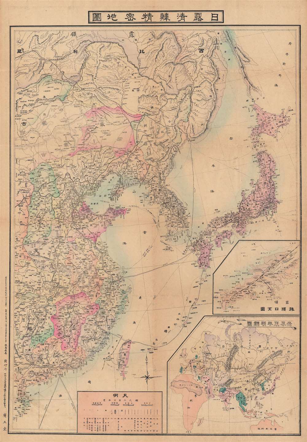
日露清韓精密地圖 / [Precise Map of Japan, Russia, China, and Korea].
$850.00
Acquire
- Digital Map Information
- Suitable for large format printing
- File Size: 100.83 MB
- File Type: ZIP / TIFF
- ICC color profile embedded
- Delivered instantly via download link
This is a visually impressive 1904 Kashima Nagatoshi (鹿島長壽) map of East Asia, made in the opening months of the Russo-Japanese War. Although it clearly alludes to the ongoing conflict, this map is somewhat unusual for also placing the convlict in Northeast Asia in a much wider regional and global context. (more details)
Jefferys map of the strategic stronghold of Callao.
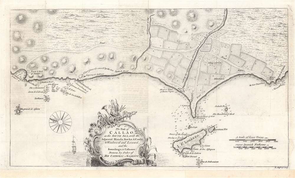
The Port of Callao, in the South Sea...
$500.00
Acquire
- Digital Map Information
- Suitable for large format printing
- DPI: 600
- File Size: 20.14 MB
- File Type: ZIP / TIFF
- ICC color profile embedded
- Delivered instantly via download link
This is a rare work by the British cartographer Thomas Jefferys, a 1753 map of Callao and Lima in Peru. It depicts the coastline of the Lima region while also serving as a nautical chart, noting soundings, islets, and other features. (more details)