
Tallis, John Tallis and Company (sold)

John Tallis (November 7, 1817 - June 3, 1876) was an English map publisher and bookseller. Born in Stourbridge, Worcestershire, he worked in his father's Birmingham agency from 1836 to 1842. Around 1838, Tallis published a collection of London Street Views and entered into a partnership with his brother Frederick Tallis from 1842 to 1849. Tallis and Company also published the Illustrated Atlas of the World (1849). Also in 1849, Tallis traveled to New York City, where he established agencies in 6 American cities. After returning from New York, Tallis paid his brother £10,000 for his share of the business and subsequently operated as John Tallis and Company until 1854. By 1853, John Tallis and Company had agencies in 26 cities in the United Kingdom, the United States, and Canada and employed over 500 people. On February 24, 1854, Tallis brought on a new partner, Ephraim Tipton Brain (1791 - 1876), forming the London Printing and Publishing Company. After a series of setbacks, however, Tallis had to sell his estate and by 1861 was declared bankrupt. Friends and former employees kept him afloat, but none of his 'various ambitious projects' proved lucrative. Tallis married Jane Ball on December 6, 1836, in Birmingham, and they lived together until she died in 1862. Tallis remarried on June 27, 1863, to Mary Stephens, with whom he had two children.
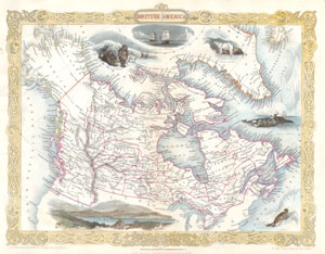
British America.
sold
- Digital Map Information
- Suitable for large format printing
- DPI: 300
- File Size: 2.62 MB
- File Type: ZIP / TIFF
- ICC color profile embedded
- Delivered instantly via download link
This is a rare and curious first state first edition of Tallis's 1849 map of British America or what is today Canada. Extends from Russian America ( Alaska ) east as far as Greenland and Iceland. Inexplicably, this map recognizes the British claim to Oregon as ... (more details)
A curious configuration of Texas presaging the 1850 Compromise following the proposals of Senator Henry Clay.
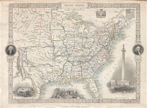
United States.
sold
- Digital Map Information
- Suitable for large format printing
- DPI: 300
- File Size: 5.45 MB
- File Type: ZIP / TIFF
- ICC color profile embedded
- Delivered instantly via download link
An exceptional 1851 John Tallis map of the United States illustrating an ephemeral period shortly following the addition of Texas, the annexation of California, and the treaties ending the Mexican American War. Covers the United States from Santa Fe north ... (more details)
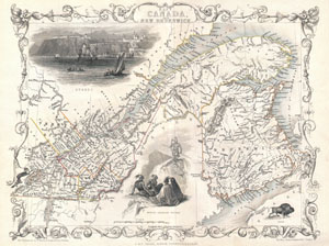
East Canada, and New Brunswick.
sold
- Digital Map Information
- Suitable for large format printing
- Full resolution TIFF file
- ICC color profile embedded
- Delivered instantly via download link
This is John Tallis' extremely attractive c. 1850 map of East Canada or what is now Quebec and New Brunswick. Includes Montreal, Quebec City, and the St. Lawrence River valley. Features five stunning vignettes which include American Indian warriors and ... (more details)
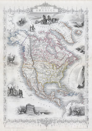
North America.
sold
- Digital Map Information
- Suitable for large format printing
- Full resolution TIFF file
- ICC color profile embedded
- Delivered instantly via download link
This is John Tallis's highly desirable and very rare 1850 Map of the North America. Made shortly following the entry of Texas into the Union, this map depicts an important point in American history. Herein Texas is shown at near its fullest extent ... (more details)
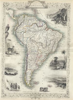
South America.
sold
- Digital Map Information
- Suitable for large format printing
- Full resolution TIFF file
- ICC color profile embedded
- Delivered instantly via download link
This is John Tallis's extremely attractive c. 1850 Map of South America. Depicts the continent divided into political zones and surrounded by attractive decorative vignettes. Peru is shown divided into North Peru and South Peru. Ecuador, ... (more details)
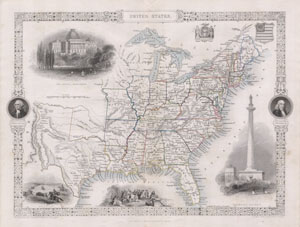
United States.
sold
- Digital Map Information
- Suitable for large format printing
- Full resolution TIFF file
- ICC color profile embedded
- Delivered instantly via download link
This is John Tallis's highly desirable 1850 Map of the United States. This is the earliest variation on this map that includes Texas as a state. Herein Texas is depicted at near its fullest extent including both Santa Fe and but excluding ... (more details)
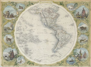
Western Hemisphere.
sold
- Digital Map Information
- Suitable for large format printing
- Full resolution TIFF file
- ICC color profile embedded
- Delivered instantly via download link
This is an extremely attractive full color example of John Tallis' decorative map of the Western Hemisphere. Covers both North and South America as well as parts of Polynesia, Antarctica, and Siberia. Shows Texas as both part of and ... (more details)
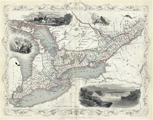
West Canada.
sold
- Digital Map Information
- Suitable for large format printing
- DPI: 300
- File Size: 6.07 MB
- File Type: ZIP / TIFF
- ICC color profile embedded
- Delivered instantly via download link
This is John Tallis' extremely attractive c. 1850 map of West Canada or what is now Ontario. Includes Lake Erie, Lake Ontario, and part of Lake Huron with Georgian Bay. Features five stunning vignettes which include American Indians ... (more details)
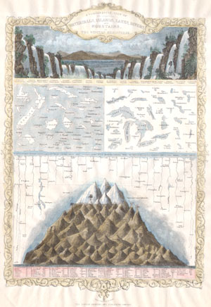
A Comparative View of the Principal Waterfalls, Islands, Lakes, Rivers and Mountains in the Western Hemisphere.
sold
- Digital Map Information
- Suitable for large format printing
- Full resolution TIFF file
- ICC color profile embedded
- Delivered instantly via download link
This is Tallis's c. 1850 chart of comparative geographic features for the Western Hemisphere. Shows the islands of New Zealand, Cuba, Iceland etc., the Great Lakes and others, the rivers Mississippi, St Lawrence and Amazon and the ... (more details)
One of the most decorative maps of New York City from the mid-19th century.
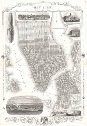
New York.
sold
- Digital Map Information
- Suitable for large format printing
- DPI: 300
- File Size: 10.44 MB
- File Type: ZIP / TIFF
- ICC color profile embedded
- Delivered instantly via download link
This is a beautiful example of John Tallis and John Rapkin’s 1851 decorative map of New York City. Covers the city from the Battery north as far as 42nd Street and includes Governor’s Island and parts of Brooklyn and Jersey ... (more details)
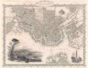
Boston.
sold
- Digital Map Information
- Suitable for large format printing
- DPI: 300
- File Size: 3.41 MB
- File Type: ZIP / TIFF
- ICC color profile embedded
- Delivered instantly via download link
A beautiful example of John Tallis and John Rapkin's 1851 decorative map of Boston, Massachusetts. The map covers downtown Boston prior to the Back Bay landfill projects, extending from Dover Street to the Charles River. ... (more details)
City Plan of Boston with beautifully illustrated views.
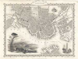
Boston.
sold
- Digital Map Information
- Suitable for large format printing
- DPI: 300
- File Size: 5.4 MB
- File Type: ZIP / TIFF
- ICC color profile embedded
- Delivered instantly via download link
A beautiful example of John Tallis’ and John Rapkin's 1851 decorative map of Boston, Massachusetts. The map covers downtown Boston prior to the Back Bay landfill projects, extending from Dover Street to the Charles ... (more details)
After the embarrassing British defeat in Afghanistan.
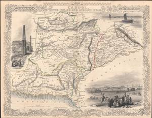
Cabool, the Punjab and Beloochistan.
sold
- Digital Map Information
- Suitable for large format printing
- Full resolution TIFF file
- ICC color profile embedded
- Delivered instantly via download link
This is a rare 1851 John Tallis map of present-day Afghanistan and Pakistan drawn and engraved by John Rapkin for Tallis's Illustrated Atlas and Modern History of the World. A contemporary audience, particularly a British audience, would have viewed this map through the prism of the First Anglo-Afghan War (1839 - 1842), an abject disaster for the British, and the wider context of 'Great Game' imperial competition with Russia. (more details)
Asia in the era of imperial competition.
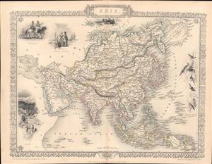
Asia.
sold
- Digital Map Information
- Suitable for large format printing
- Full resolution TIFF file
- ICC color profile embedded
- Delivered instantly via download link
This is a rare and beautifully illustrated 1851 map of Asia by John Rapkin that appeared in Tallis's Illustrated Atlas and Modern History of the World. It shows Asia on the eve of rapid European imperial expansion, which would soon bring much of the territory shown here under direct or indirect control. (more details)
Britain and Russia squabbling over imperial control in Central Asia.
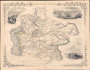
Independent Tartary.
sold
- Digital Map Information
- Suitable for large format printing
- Full resolution TIFF file
- ICC color profile embedded
- Delivered instantly via download link
This is a highly decorative 1851 map of Central Asia drawn by John Rapkin and published by John Tallis, with hand-drawn colored borders between polities (the Emirate of Bukhara, the Khanate of Khiva, the Khanate of Kokand, and 'Tartaria,' roughly equivalent to today's Kazakhstan, Kunduz, and Badakhshan). (more details)
Traveling from London to India.
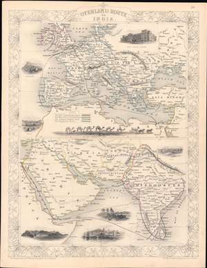
Overland Route to India.
sold
- Digital Map Information
- Suitable for large format printing
- Full resolution TIFF file
- ICC color profile embedded
- Delivered instantly via download link
This is a rare 1851 John Rapkin / John Tallis map of the Near East, Middle East, and India, with hand-coloring of the overland routes to India and of national borders. The top portion shows the European section of four routes between London and India, while the bottom half shows the routes continuing through the Near and Middle East. (more details)
The not-so-Chinese Chinese Empire.
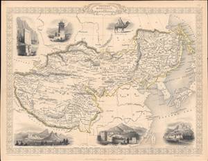
Thibet, Mongolia, and Mandchouria.
sold
- Digital Map Information
- Suitable for large format printing
- Full resolution TIFF file
- ICC color profile embedded
- Delivered instantly via download link
This is an 1851 map of Tibet, Mongolia, Manchuria, and neighboring regions belonging to the Qing Empire that appeared in the Tallis's Illustrated Atlas and Modern History of the World. It shows the immensity of territory under Qing rule, or at least Qing suzerainty, and how much of the 'Chinese Empire' was in fact outside of China. (more details)
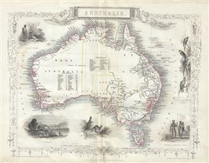
Australia.
sold
- Digital Map Information
- Suitable for large format printing
- Full resolution TIFF file
- ICC color profile embedded
- Delivered instantly via download link
This is a beautiful 1851 example of John Tallis and John Rapkin's 1851 map of Australia. It covers the entire continent of Australia along with Tasmania or as it was known at the time, Van Diemen's Island. An ... (more details)
Intricately engraved map of Central America featuring three incredible vignettes.
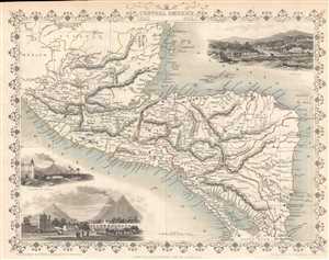
Central America.
sold
- Digital Map Information
- Suitable for large format printing
- DPI: 300
- File Size: 3.27 MB
- File Type: ZIP / TIFF
- ICC color profile embedded
- Delivered instantly via download link
This is a highly decorative 1851 map of Central America by John Tallis and John Rapkin. The map depicts from southern Mexico and the Yucatan peninsula south to extreme northern Costa Rica. Mexico, Belize ... (more details)
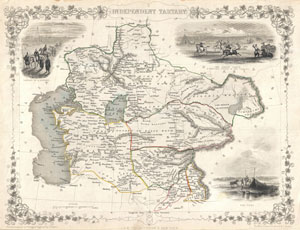
Independent Tartary.
sold
- Digital Map Information
- Suitable for large format printing
- DPI: 300
- File Size: 4.45 MB
- File Type: ZIP / TIFF
- ICC color profile embedded
- Delivered instantly via download link
A highly decorative 1851 map of Independent Tartary by John Tallis and John Rapkin. Covers the regions between the Caspian Sea and Lake Bakquash and between Russia and Afghanistan. These include the ... (more details)
Decorative map of Central Asia.
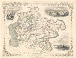
Independent Tartary.
sold
- Digital Map Information
- Suitable for large format printing
- DPI: 300
- File Size: 4.75 MB
- File Type: ZIP / TIFF
- ICC color profile embedded
- Delivered instantly via download link
This is a highly decorative 1851 map of Independent Tartary by John Tallis and John Rapkin. It covers the regions between the Caspian Sea and Lake Bakquash and between Russia and Afghanistan. These ... (more details)
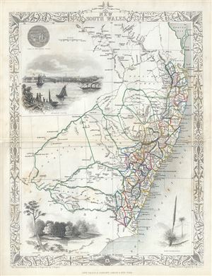
New South Wales.
sold
- Digital Map Information
- Suitable for large format printing
- Full resolution TIFF file
- ICC color profile embedded
- Delivered instantly via download link
This is a fine 1851 John Tallis map of New South Wales, Australia. The map covers eastern Australia from the Great Sandy Island south past Sydney to Cape Howe. It also extends a considerable ... (more details)
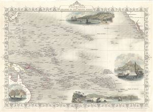
Polynesia or Islands in the Pacific Ocean.
sold
- Digital Map Information
- Suitable for large format printing
- Full resolution TIFF file
- ICC color profile embedded
- Delivered instantly via download link
This is an impressive 1851 Tallis map of Polynesia or the Islands of the Pacific Ocean. It covers from Japan to California south as far as Australia and the Low Archipelago. Four inset ... (more details)
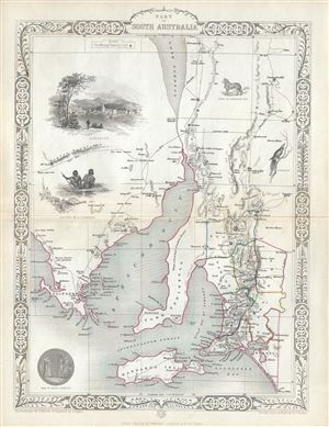
Part of South Australia.
sold
- Digital Map Information
- Suitable for large format printing
- Full resolution TIFF file
- ICC color profile embedded
- Delivered instantly via download link
This is a beautiful example of John Tallis and John Rapkin's 1851 map of South Australia, Australia. Centered on the Spencer Gulf, it covers the southeastern part of the state of South ... (more details)
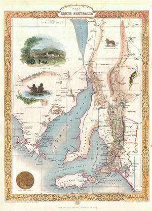
Part of South Australia.
sold
- Digital Map Information
- Suitable for large format printing
- DPI: 300
- File Size: 4.7 MB
- File Type: ZIP / TIFF
- ICC color profile embedded
- Delivered instantly via download link
This is a beautiful example of John Tallis and John Rapkin's 1851 map of South Australia, Australia. Centered on the Spencer Gulf, it covers the southeastern part of the state of South ... (more details)
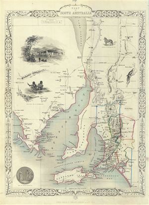
Part of South Australia.
sold
- Digital Map Information
- Suitable for large format printing
- DPI: 300
- File Size: 5.28 MB
- File Type: ZIP / TIFF
- ICC color profile embedded
- Delivered instantly via download link
This is a beautiful example of John Tallis and John Rapkin's 1851 map of South Australia, Australia. Centered on the Spencer Gulf, it covers the southeastern part of the state of South ... (more details)
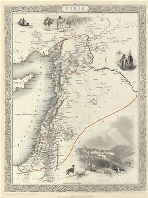
Syria.
sold
- Digital Map Information
- Suitable for large format printing
- DPI: 300
- File Size: 5.67 MB
- File Type: ZIP / TIFF
- ICC color profile embedded
- Delivered instantly via download link
This is an appealing example of John Tallis and John Rapkin's 1851 map of Syria. It covers from the Gulf of Iskenderun to the Dead Sea and includes the modern day Syria, Lebanon, ... (more details)
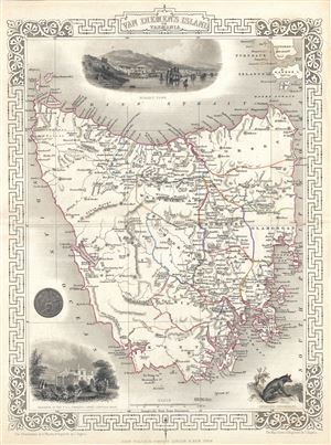
Van Diemen's Island or Tasmania.
sold
- Digital Map Information
- Suitable for large format printing
- DPI: 300
- File Size: 5.38 MB
- File Type: ZIP / TIFF
- ICC color profile embedded
- Delivered instantly via download link
This is an impressive 1851 Tallis map of Van Diemen's Island or Tasmania. The map covers the entire island of Tasmania in considerable detail noting towns, lakes, mountain ranges ... (more details)
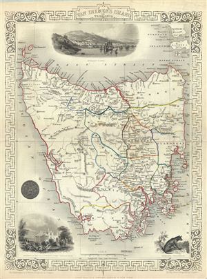
Van Diemen's Island or Tasmania.
sold
- Digital Map Information
- Suitable for large format printing
- DPI: 300
- File Size: 5.47 MB
- File Type: ZIP / TIFF
- ICC color profile embedded
- Delivered instantly via download link
An impressive 1851 Tallis map of Van Diemen's Island or Tasmania. The map covers the entire island of Tasmania in considerable detail noting towns, lakes, mountain ranges and ... (more details)
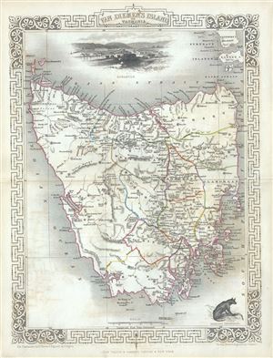
Van Diemen's Island or Tasmania.
sold
- Digital Map Information
- Suitable for large format printing
- Full resolution TIFF file
- ICC color profile embedded
- Delivered instantly via download link
This is an impressive 1851 Tallis map of Van Diemen's Island or Tasmania. The map covers the entire island of Tasmania in considerable detail noting towns, lakes, mountain ... (more details)
Scarce map showing Australian Gold Discoveries.
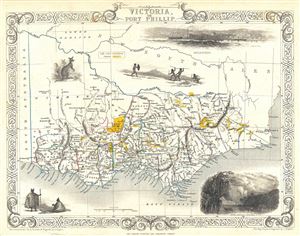
Victoria or Port Phillip.
sold
- Digital Map Information
- Suitable for large format printing
- DPI: 300
- File Size: 4.21 MB
- File Type: ZIP / TIFF
- ICC color profile embedded
- Delivered instantly via download link
This is a scarce 1851 map of Victoria or Port Phillip, Australia by John Tallis. The map covers Victoria from Discovery Bay east past Melbourne to Mallacoota (Mallagoota). ... (more details)
One of the most decorative maps of London of the 19th century.
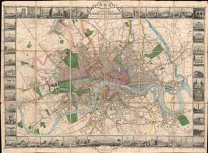
Tallis's Illustrated Plan of London and its Environs in commemoration of the Great Exhibition of Industry of all Nations, 1851.
sold
- Digital Map Information
- Suitable for large format printing
- Full resolution TIFF file
- ICC color profile embedded
- Delivered instantly via download link
A superbly decorative 1851 John Tallis map of London with elaborate pictorial surround, this map was touted on its release as 'the most beautiful and perfect Plan of London ever produced.' With a finely engraved border consisting of forty illustrated views of London 'public buildings and places of amusement', the map lives up to the publisher's boisterous claim. Centered on Charing Cross, coverage extends from Stamford Hill to West Ham and from Brixton to Shepherds Bush. The map was issued to showcase the genius of British cartography, printing, and engraving at the 1851 Great Exhibition of the Works of Industry of All Nations, held in London. (more details)
One of the most decorative maps of London of the 19th century.
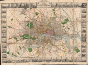
Tallis's Illustrated Plan of London and its Environs in commemoration of the Great Exhibition of Industry of all Nations, 1851.
sold
- Digital Map Information
- Suitable for large format printing
- DPI: 600
- File Size: 109.86 MB
- File Type: ZIP / TIFF
- ICC color profile embedded
- Delivered instantly via download link
A superbly decorative 1851 John Tallis map of London with elaborate pictorial surround, this map was touted on its release as 'the most beautiful and perfect Plan of London ever produced'. With a finely engraved border consisting of forty illustrated views of London's 'public buildings and places of amusement', the map lives up to the publisher's boastful claim. (more details)
Victorian London mapped as spectacle.
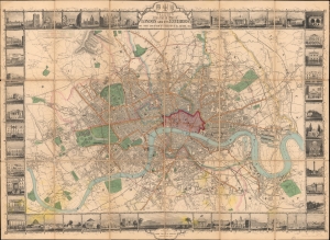
Tallis's Illustrated Plan of London and its Environs in commemoration of the Great Exhibition of Industry of all Nations, 1851.
$2,500.00
Acquire
- Digital Map Information
- Suitable for large format printing
- Full resolution TIFF file
- ICC color profile embedded
- Delivered instantly via download link
This is a superbly decorative 1851 John Tallis city plan of London, issued to commemorate the Great Exhibition and arguably Tallis's most ambitious single map. Touted on its release as 'the most beautiful and perfect Plan of London ever produced,' it makes a convincing case for the publisher's boast: John Rapkin's finely engraved plan is surrounded by an elaborate pictorial border of views depicting London's public buildings, monuments, and places of amusement. Both a practical city plan and lavish visual celebration of the Victorian metropolis, it captures London at a defining moment, when the Great Exhibition presented the city to the world as a center of industry, commerce, culture, and modernity. (more details)
Continental Reach of the Hudson's Bay Company.
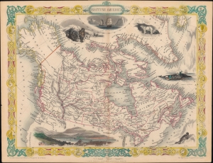
British America.
sold
- Digital Map Information
- Suitable for large format printing
- File Size: 10.28 MB
- File Type: ZIP / TIFF
- ICC color profile embedded
- Delivered instantly via download link
A scarce state of John Tallis and John Rapkin's c. 1851 map of British America or Canada. Among other features, it depicts the vast territory overseen by the Hudson's Bay Company. (more details)
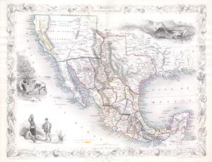
United States.
sold
- Digital Map Information
- Suitable for large format printing
- Full resolution TIFF file
- ICC color profile embedded
- Delivered instantly via download link
This is John Tallis's highly desirable 1851 Map of Mexico, Texas and Upper California. Herein Texas is depicted at its fullest extent including both Santa Fe and the Green ... (more details)
Uncommon map presenting Texas at its largest and highlighting the California Gold Region.
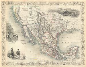
Mexico, California and Texas.
sold
- Digital Map Information
- Suitable for large format printing
- DPI: 300
- File Size: 5.51 MB
- File Type: ZIP / TIFF
- ICC color profile embedded
- Delivered instantly via download link
This is John Tallis's and J.H. Rapkin's highly desirable 1851 Map of Mexico, Texas and Upper California shortly after the Mexican American War and in the early days of the ... (more details)
Shows the California gold region and Texas at its largest.
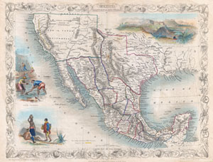
Mexico.
sold
- Digital Map Information
- Suitable for large format printing
- DPI: 300
- File Size: 5.69 MB
- File Type: ZIP / TIFF
- ICC color profile embedded
- Delivered instantly via download link
An exceptional example of John Tallis and John Rapkin's highly desirable 1851 Map of Mexico, Texas, and Upper California. Herein Texas is depicted at its fullest extent ... (more details)
Disapproval for American Expansionism after the Mexican American War.
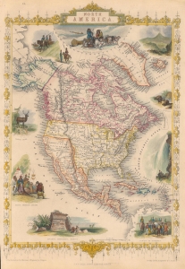
North America.
sold
- Digital Map Information
- Suitable for large format printing
- File Size: 11.13 MB
- File Type: ZIP / TIFF
- ICC color profile embedded
- Delivered instantly via download link
This is John Tallis's c. 1851 map of North America, drawn and engraved by John Rapkin. It is most notable for including an ephemeral depiction of the borders of North America in the wake of the Mexican-American War (1846 - 1848), though not entirely reflecting the changes brought about by the 1848 Treaty of Guadalupe Hidalgo, perhaps a veiled criticism of the new territorial acquisitions of the United States. (more details)
Unusual early mapping of the transmississippi showing origins of Nebraska and New Mexico Territory.
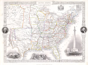
United States.
sold
- Digital Map Information
- Suitable for large format printing
- Full resolution TIFF file
- ICC color profile embedded
- Delivered instantly via download link
This is a fascinating 1851 map of the United States by the English map and atlas publisher John Tallis and his engraver John Rapkin. Covers the United States from Santa ... (more details)
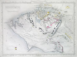
Siege of Sebastopol
sold
- Digital Map Information
- Suitable for large format printing
- File Size: 1.34 MB
- File Type: ZIP / TIFF
- ICC color profile embedded
- Delivered instantly via download link
This hand colored map is a copper plate engraving of the city of Sebastopol, Russia. It depicts the city and areas surrounding Sebastopol & Balaklava (western Crimean ... (more details)