
Richly-Decorative Double-Hemisphere World Map.
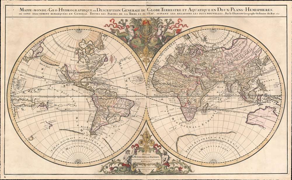
Mappe-monde Geo-Hydrographique ou Description Generale du Globe Terrestre et Aquatique en Deux-Plans-Hemipsheres ou son Exactement Remarquees en General Toutes les Parties de la Terre et de L'Eau, suivant les Relations les plus Nouvelles, par le S. Sanson Geographe Ordinaire du Roy.
sold
- Digital Map Information
- Suitable for large format printing
- DPI: 600
- File Size: 42.4 MB
- File Type: ZIP / TIFF
- ICC color profile embedded
- Delivered instantly via download link
One of the most beautiful, large - format maps of the 17th century, this is Alexis-Hubert Jaillot's 1691 map of the world on a double hemisphere projection. It is an enlarged, richly decorative depiction of the world according to Nicolas Sanson, the great French geographical authority of the 17th century. The map is dedicated to the Dauphin (the eldest son of the King of France;) the dedicatory cartouche at the bottom center is surmounted by a beautiful, gilded Fleur-de-lis and flanked by two mer-men; opposite the dedicatory above the two hemispheres the Dauphin's arms are displayed, flanked by two putti riding stylized dolphins. (more details)
Railroads in Florida and the U.S. East Coast.
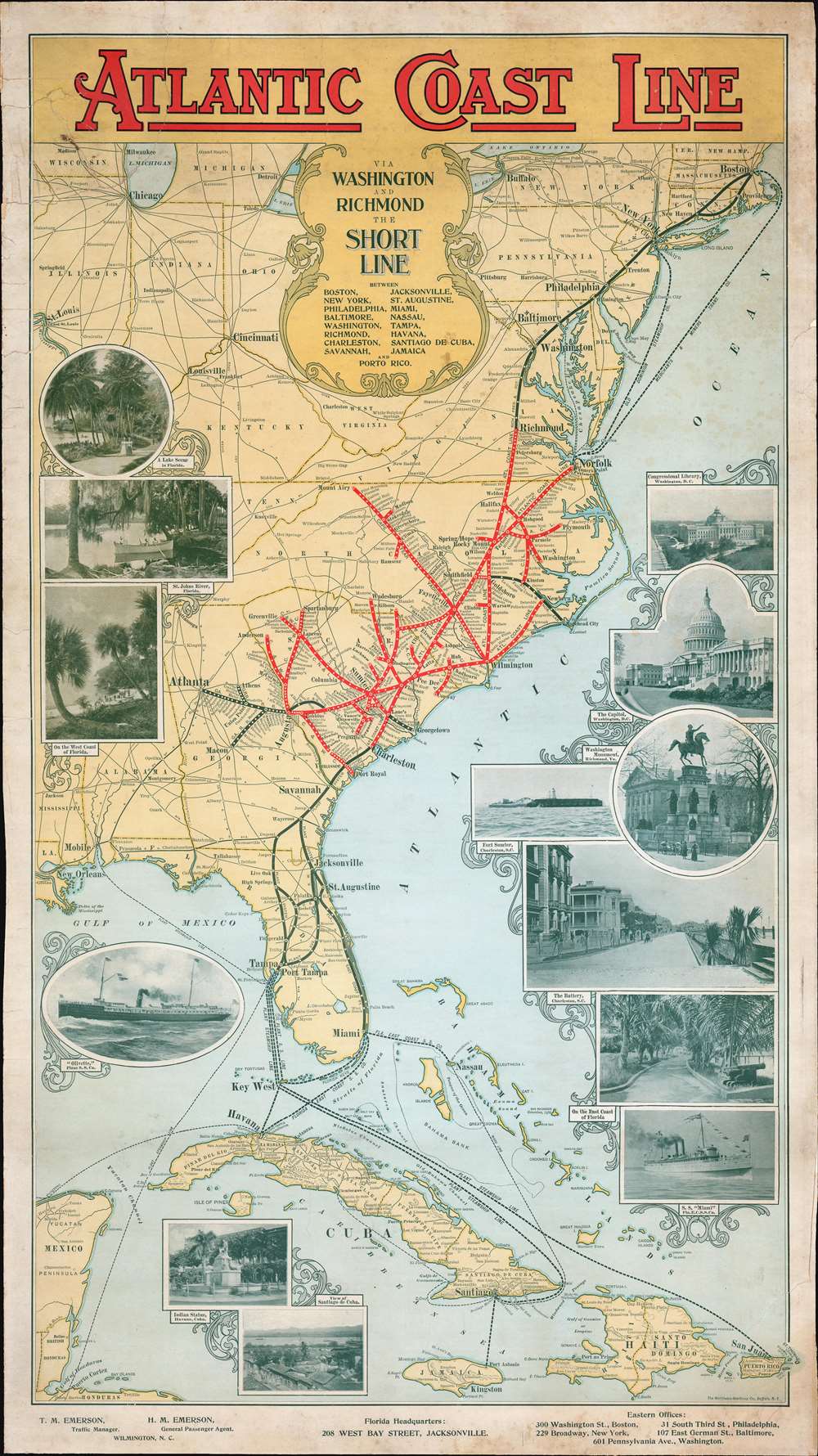
Atlantic Coast Line via Washington and Richmond The Short Line.
sold
- Digital Map Information
- Suitable for large format printing
- File Size: 45.92 MB
- File Type: ZIP / TIFF
- ICC color profile embedded
- Delivered instantly via download link
An outstanding c. 1898 Matthews-Northrup railroad broadside map of the eastern United States. Depicting the region from Boston to Jamaica and from St. Louis and New Orleans to the Atlantic Ocean, major railway lines throughout the country are illustrated and labeled, along with steamship lines between Florida and Cuba, Puerto Rico, and Jamaica. Thick red lines highlight the route of the Atlantic Coast Line, with white dots marking every station stop. Much less detailed thick black lines illustrate important connecting railroads, including the Plant System from Charleston to Tampa and the Florida East Coast Railway from St. Augustine to Miami. The rest of the extensive rail network in the eastern U.S. is traced by thin black lines bearing the names of their respective railroads. Photographs adorn the left and right borders and promote Florida's mild climate and the history of the American South to a Northern audience. (more details)
One of the first large-scale surveys of this historic town.
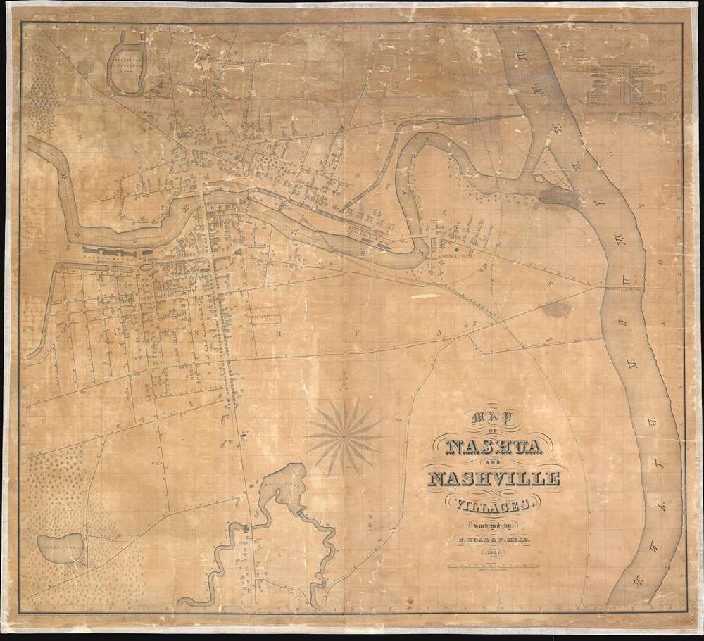
Map of Nashua and Nashville Villages.
sold
- Digital Map Information
- Suitable for large format printing
- DPI: 600
- File Size: 66.17 MB
- File Type: ZIP / TIFF
- ICC color profile embedded
- Delivered instantly via download link
This is an 1842 J. Hoar and F. Mead wall-sized city plan or map of Nashua and Nashville, New Hampshire, and one of the first large-scale commercial map of the city. The Nashua River bisects Nashua and Nashville, with a bridge, labeled 'Main Street,' connecting the two. Streets throughout both villages are identified. Individual buildings are also illustrated, and over forty of these are numerically labeled. The corresponding index, situated in the upper right corner, lists the 1st Congregational Church and several other churches, a handful of schoolhouses, and several other locations around town. Only the cemetery, burial site, Nashua Mills, and the canal basin are directly labeled on the map; all other specific sites bear a number. 'Sandy Pond' and the surrounding forest are attractively illustrated in the lower-left corner, and Salmon Brook and the Mill Pond occupy space along the bottom border. The Merrimack River flows from top to bottom along the right side. (more details)
The Raiding Ground of Buccaneers.
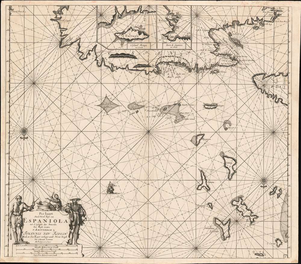
Pas kaart Van de Noord Kust van Espaniola met d Eylanden daar Benoorden.
sold
- Digital Map Information
- Suitable for large format printing
- DPI: 600
- File Size: 27.24 MB
- File Type: ZIP / TIFF
- ICC color profile embedded
- Delivered instantly via download link
A beautifully engraved 1684 nautical chart or maritime map of the north coast of Hispaniola, the east end of Cuba, the Turks and Caicos islands, and the southeastern reaches of the Bahamas. This southern-oriented chart depicts the heart of the raiding territory of the 'Brethren of the Coast', the buccaneers. (more details)
Scarce map of Shanghai at the beginning of the Second Sino-Japanese War.

The New Map of Shanghai. /上海最新地圖 / Shànghǎi zuìxīn dìtú.
sold
- Digital Map Information
- Suitable for large format printing
- File Size: 37.87 MB
- File Type: ZIP / TIFF
- ICC color profile embedded
- Delivered instantly via download link
This is a rare and beautiful bilingual 1933 Fusazō Sugie city plan or map of Shanghai, China. Published only two years after the Second Sino-Japanese War began, the map depicts cebtrak Shanghai including the Chinese Quarter, the French Concession, the International Settlement, and the English Quarter (along the Bund), among many other sites. Shanghai's cosmopolitan International Settlement is highlighted in orange (USA), pink (Great Britain), and yellow (France). Nineteen important buildings along the Bund are carefully noted and can be referenced via a table to the right of the view. These include the first HSBC Bank, the British Club, the Peace Hotel, and the Customs House. A lovely vintage panoramic photograph of the Bund adorns the map's bottom border. Of note, a large inset in the lower right corner illustrates the greater Shanghai area and three smaller insets detail Nanking (Nanjing) Hanchow Shiwoo (Hangzhou), and Soochow (Suzhou). (more details)
A 3-mile-long architectural wonder made for the Comstock Mines.
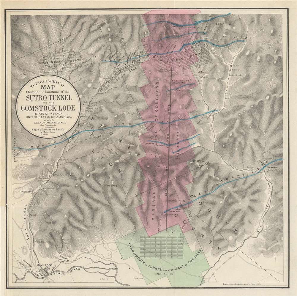
Topographical Map Showing the Locations of the Sutro Tunnel and the Comstock Lode State of Nevada, United States of America.
sold
- Digital Map Information
- Suitable for large format printing
- File Size: 14.96 MB
- File Type: ZIP / TIFF
- ICC color profile embedded
- Delivered instantly via download link
This is an 1866 Charles Hoffmann map of the Sutro Tunnel and the Comstock Lode in Nevada. Depicting the area from Spring Valley to Six Mile Cañon and from Mt. Davidson to the town of Dayton, Nevada, the land granted to the Sutro Tunnel Company is colored in pink and green. A solid brown line marks the tunnel, extending over three miles into the mountain, to reach the Comstock mines under Virginia City. The towns of Virginia City, Gold Hill, American City, Silver City, and Dayton, all of which were founded by miners seeking their fortune, are illustrated and labeled. Individual mills and mining claims are also identified. (more details)
The monuments of Paris.
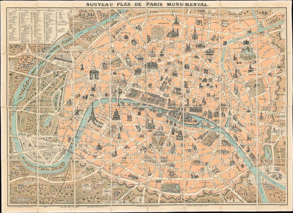
Nouveau Plan de Paris Monumental.
sold
- Digital Map Information
- Suitable for large format printing
- File Size: 45.17 MB
- File Type: ZIP / TIFF
- ICC color profile embedded
- Delivered instantly via download link
This is a c. 1890 L. Guilmin pictorial map of Paris featuring profile drawings of the French capital's world-famous monuments. Depicting the city from Nanterre and the Bois de Boulogne to the Bois de Vincennes, the recently constructed Eiffel Tower, the world-famous Louvre Museum, and the magnificent Notre Dame Cathedral are among the highlighted sites. Others include the Panthéon, the Jardin du Luxembourg, the Jardin des Tuileries, the Avenue des Champs Élysées, and many of Paris's train stations. The city is surrounded by its ancient walls, corresponding to the modern day Boulevard Périphérique is today. (more details)
Something new every time you see it.

Reg Manning's Cartoon Map of California.
sold
- Digital Map Information
- Suitable for large format printing
- File Size: 24.54 MB
- File Type: ZIP / TIFF
- ICC color profile embedded
- Delivered instantly via download link
Drawn as if on an aging piece of parchment, this is Reg Manning's 1939 cartoon pictorial map of California. Comic vignettes fill the state from the Oregon border to Mexico and recount episode's in the state's history or personify parts of its landscape. Some of these, like Pete Lassen and Isaac Roop literally pulling on part of California to try and annex it to Nevada evoke a smile and a chuckle. Others, like soldiers and Native Americans fighting in the lava beds or a man hanging in Placerville (apparently also known as Hangtown), try to put a lighter spin on the darker parts of American history. The comic is never too far away, however. Mount Baldy, for example, is personified by a bald man's head. A frog marks Angel's Camp, known for its jumping frog contest. National parks, including Sequoia and Yosemite, are prominently labeled. The state's many prominent cities are illustrated and labeled as well, with sites such as the Golden Gate Bridge, Alcatraz, the California Capitol Building, and the La Brea Tar Pits making appearances. (more details)
Equatorial eastern Africa and the Indian Ocean
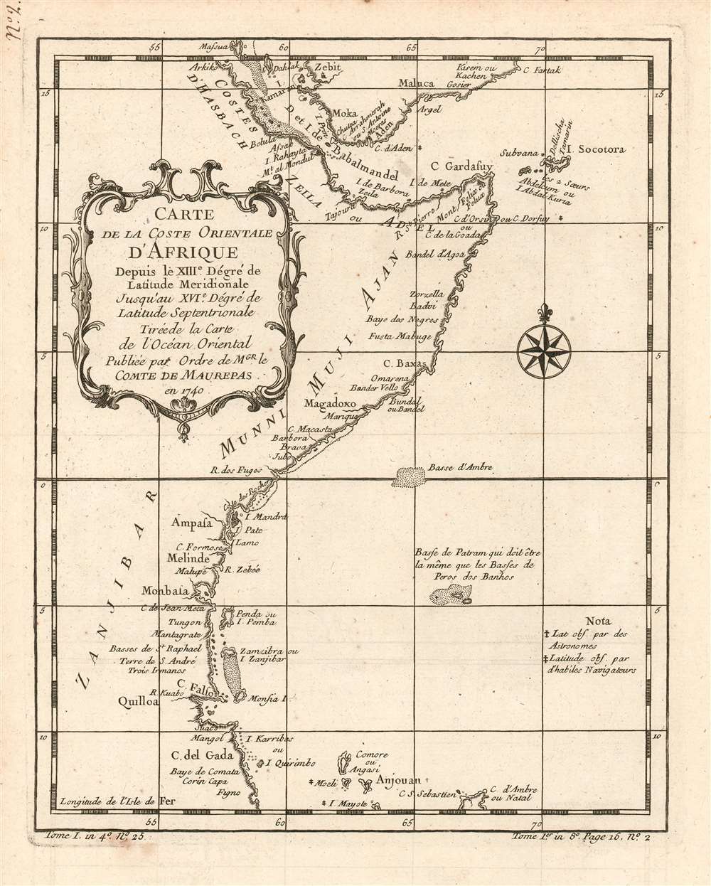
Carte de la coste orientale d'Afrique depuis le XIIIe. Dégré de Latitude Meridionale Jusqu'au XVIe. Dégré de Latitude Septenrionale Tireé de la carte de l'ocean oriental publiée par ordre de mgr. le Comte de Maurepas en 1740.
sold
- Digital Map Information
- Suitable for large format printing
- DPI: 600
- File Size: 4.19 MB
- File Type: ZIP / TIFF
- ICC color profile embedded
- Delivered instantly via download link
This is a 1780 Bellin map of the eastern coast of equatorial Africa and the southern coast of the Arabian Peninsula, starting at Cape Delgado in Mozambique and continuing to coastal Yemen. This little map is surprisingly well detailed. It names the Yemeni cities of Zabid (Zebit), Mocha (Moka), Aden, Al Mukalla, (Maluka on the map) Qusay'ir and Qishn (Gosier and Kisein or Kachen, respectively.) African place names include Quilloa (Kilwa) Mombasa, Mogadishu (Magadoxo), Bandarbeyla (Bandel 'Agoa on the map) and Āssab; Zanzibar is shown as well. The islands of Socotra, Comoros, Mayotte and the northernmost point of Madagascar also appear. The map includes notations indicating places whose latitudes had been observed by Astronomers, and those (much more numerous) having been observed by 'Skilled Navigators.' The map also shows areas of shallows, one named 'Basse (baixos) de Patram' which the cartographer notes 'must be the same as the Baixos de Pêro dos Banhos,' an atoll discovered by the Portuguese in 1513 noted for having had its avian population devastated by the arrival of some 165 castaways from the Portuguese ship Conceição in 1556. (more details)
Outdoor adventure awaits!

In the National Forests of the Montana Rockies.
sold
- Digital Map Information
- Suitable for large format printing
- Full resolution TIFF file
- ICC color profile embedded
- Delivered instantly via download link
This is a charming 1940 John B. LaCasse pictorial tourist map of western Montana. Vacationers frolic through the untamed wilderness of the Rocky Mountains, from Coeur d'Alene to Butte. Fishermen spend their time catching fish, instead of waiting for bites, and skiers zoom down mountains. Glacier National Park and its natural wonders beckon the traveler. Montana's incredible wildlife, including deer, elk, bear, moose, and mountain goats, are prevalent. Hunters flush geese and grouse while their wives waterski and swim on pristine lakes. (more details)
One of the most detailed 19th century atlas maps of the American West.

Californien, Oregon, Utah, und Neu-Mejico.
sold
- Digital Map Information
- Suitable for large format printing
- DPI: 600
- File Size: 12.78 MB
- File Type: ZIP / TIFF
- ICC color profile embedded
- Delivered instantly via download link
This is a c. 1850 Carl Flemming map of the western United States during a period of incredible change in the American West. Published soon after California became a state, the map depicts the region from the Pacific Ocean to the Rocky Mountains and from Canada to Mexico. Flemming employs outline color to highlight the State of California and the Oregon, Utah, and New Mexico Territories. Flemming's map is one of the most comprehensive 19th-century atlas maps of this part of the United States. It labels cities and towns and details the region's incredible topography, identifying several mountains in modern-day Colorado while including some fictional mountain ranges in modern-day Nevada. However, the identification of 'Saltlake City or New Jerusalem' in Utah presents the map's most astonishing detail. (more details)
An Attractive Chart of Western Africa, the Canary Islands, and the Cape Verde Islands.
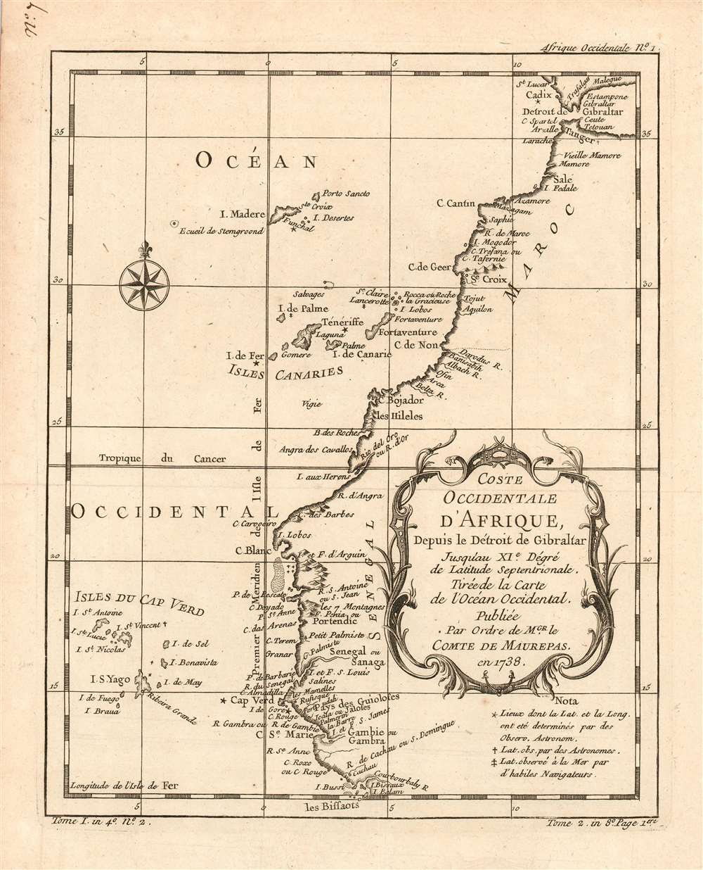
Coste Occidentale D'Afrique, Depuis le Détroit de Gibraltar Jusqu'au XI.e Degré de Latitude Septentrionale : Tirée de la Carte de l'Ocean Occidental, Publiée Par Ordre de MGR. le Comte De Maurepas en 1738.
sold
- Digital Map Information
- Suitable for large format printing
- DPI: 600
- File Size: 4.5 MB
- File Type: ZIP / TIFF
- ICC color profile embedded
- Delivered instantly via download link
This is a 1780 Bellin map of the western coast of Africa, From the Strait of Gibraltar and continuing south to what is now Guinea-Bissau. This little map is surprisingly well detailed. It includes notations indicating places whose latitudes had been observed by astronomers, those whose latitudes had been observed by 'skilled navigators,' and those whose latitudes and longitudes had been determined by astronomical observation. These last - Cadiz in Spain, Tenerife, the Isle de Fer, Cape Verde and the island of Gorée, marked with stars on the map - show the extent to which this part of the African coast was well-understood by the time this map's 1738 source was printed. (more details)
Gorgeous bird's eye view of the Grand Canyon.

The Grand Canyon of Arizona.
sold
This is a 1957 Fred Harvey Company bird's eye view tourist map of the Grand Canyon. Illustrated from a vantage point high above the Grand Canyon's South Rim, the view identifies many landmarks within the Canyon, including Tonto Plateau, Zoroaster Temple, Confucius Temple, and Point Sublime. Many of the overlooks around the Rim drives are labeled as well. The Kaibab Trail, the most popular rim-to-rim trail through the Grand Canyon, is prominently marked, as is Bright Angel Trail. Text along the bottom border promotes the Canyon as a tourist destination and highlights its many incredible attributes. The final section suggests possible activities for tourists and, of course, lists the Fred Harvey Company hotels and other properties in the area. (more details)
An Early American Atlas Map of the Low Countries.
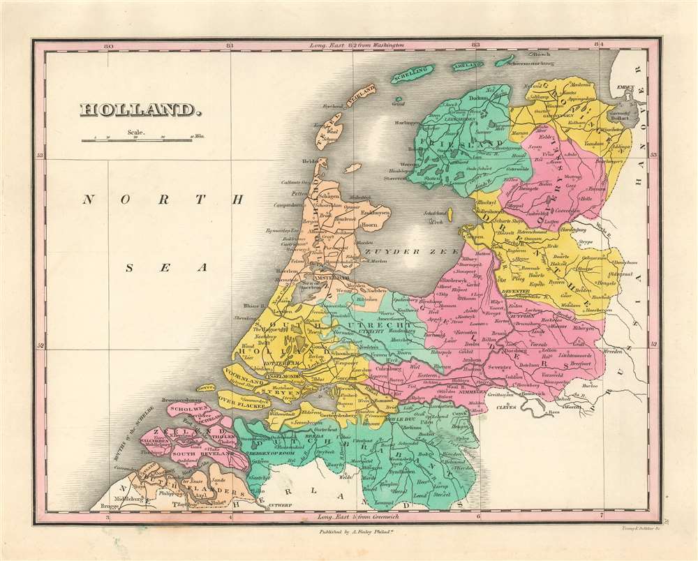
Holland.
sold
- Digital Map Information
- Suitable for large format printing
- DPI: 600
- File Size: 5.53 MB
- File Type: ZIP / TIFF
- ICC color profile embedded
- Delivered instantly via download link
A beautiful example of Finley's important 1827 map of Holland, or the Netherlands. The map embraces the region Friesland south to Dutch Flanders and Brabant. Identifies numerous cities, including Amsterdam, Antwerp, and Bergen op Zoom. The map also shows and names river systems, swamps and canals. A simple, elegant title and scale appear in the upper left quadrant. (more details)
One of the most sought-after and unique printed maps of the world
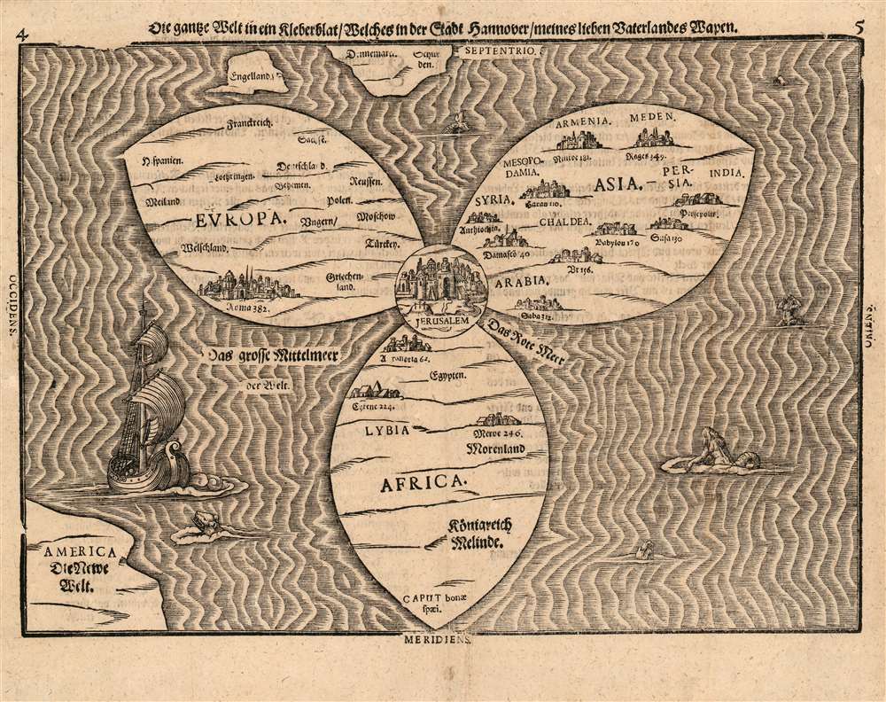
Die ganze Welt in ein Kleberblat, Welches in der Stadt Hannover, meines lieben Vaterlandes Wapen.
sold
- Digital Map Information
- Suitable for large format printing
- Full resolution TIFF file
- ICC color profile embedded
- Delivered instantly via download link
This is Heinrich Bünting's 1581 map of the world, dramatically presented as a clover leaf, in an early first block example. No other early map utilized this configuration. This beautiful woodcut appeared in Bünting's Itinerarium Sacrae, the first and for many years the only complete work of biblical geography. As such, this map's central positioning of Jerusalem and the Red Sea - recalling medieval mappamundae - is appropriate. The map's puzzling trefoil shape, with Asia, Africa and Europe each given a leaf, invokes Ptolemy's three parts of the world, as well as the medieval T-O map's tripartite form. The map's title, however, gives insight to Bünting's motivation for producing so singular an image: Die ganze Welt in ein Kleberblat, welches in der Stadt Hannover, Meines lieben Vaterlandes Wapen translates to:
The Whole World in a Cloverleaf, Which is the Arms of my Dear Fatherland, Hanover.Bünting is using the centerpiece map of his book to tip his hat to his home town. (more details)
Jesuit knowledge of the Chinese Interior.
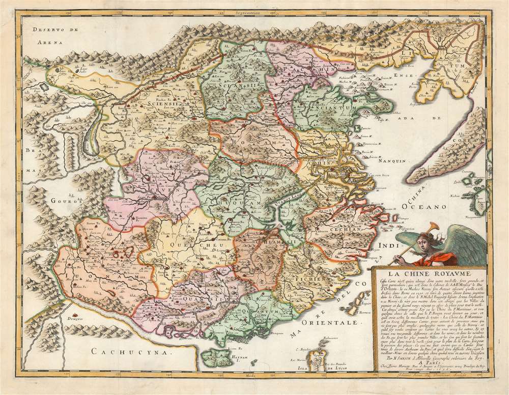
La Chine Royaume.
sold
- Digital Map Information
- Suitable for large format printing
- DPI: 600
- File Size: 20.81 MB
- File Type: ZIP / TIFF
- ICC color profile embedded
- Delivered instantly via download link
This is an attractive example of Nicolas Sanson's scarce and important map of China and Korea, here in its 1656 first state. Although Sanson credits a notional 'Matheo Neroni' as his source, it is almost certainly actually the Jesuit missionary and cosmographer Matteo Ricci, who composed an important map in 1588 based on Chinese sources. The Great Wall appears prominently. The map extends to show part of the Philippines, including Luzon, and a remarkable, sickle-shaped Korean Peninsula. Taiwan is shown and named 'I. Hermosa,' an early form of 'Formosa'. The southern coast of China looks across a bizarrely-narrow South China Sea to a massively-protruding 'Cachucyna' nearly reaching Hainan Island. (more details)
Profiles in Central Park along hypothetical extensions of Sixth and Seventh Avenue.
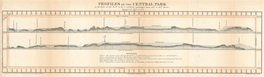
Profiles of the Central Park on the lines of the VIth and VIIt Avenues prolonged from 59th to 110th Street.
sold
- Digital Map Information
- Suitable for large format printing
- File Size: 5.56 MB
- File Type: ZIP / TIFF
- ICC color profile embedded
- Delivered instantly via download link
This 1860 Frederick Law Olmsted and Calvert Vaux profile chart or map of Central Park in New York City provides a glimpse into the wide-ranging topography of one of the world's greatest urban parks. Olmsted and Vaux employ Manhattan's iconic grid system and illustrate the topographic profiles along hypothetical extensions of Sixth and Seventh Avenues. Landmarks within the park, including the transverse roads, the carriage road, the New Reservoir, and The Bluff, are identified. Trees appear along some of the ridges, and higher ground to the west of the defined profiles appear as shadowy masses above the profiles. Manhattan's street grid borders the park on all four sides. (more details)
The Louisville and Nashville Railroad line from New Orleans to Pensacola.

The Beautiful Gulf Coast - 'The American Riviera'.
sold
- Digital Map Information
- Suitable for large format printing
- File Size: 29.71 MB
- File Type: ZIP / TIFF
- ICC color profile embedded
- Delivered instantly via download link
This is a 1926 Poole Brothers Map of the United States Gulf Coast highlighting the Louisville and Nashville Railroad. Depicting the region from New Orleans, Louisiana to River Junction, Florida, and from Flomaton, Alabama, to the Gulf of Mexico, thick red lines trace the Louisville and Nashville Railroad. Stations along the route are labeled and marked by white dots. Some cities and towns not along the railroad's lines are labeled as well, particularly along the Florida coast from Pensacola to Apalachicola. Lake Pontchartrain, Mobile Bay, and Pensacola Bay are illustrated as well. Numerous small islands along the coast appear as well, and a handful of highways are indicated. (more details)
The largest alpine lake in North America - known for its beaches and its skiing.
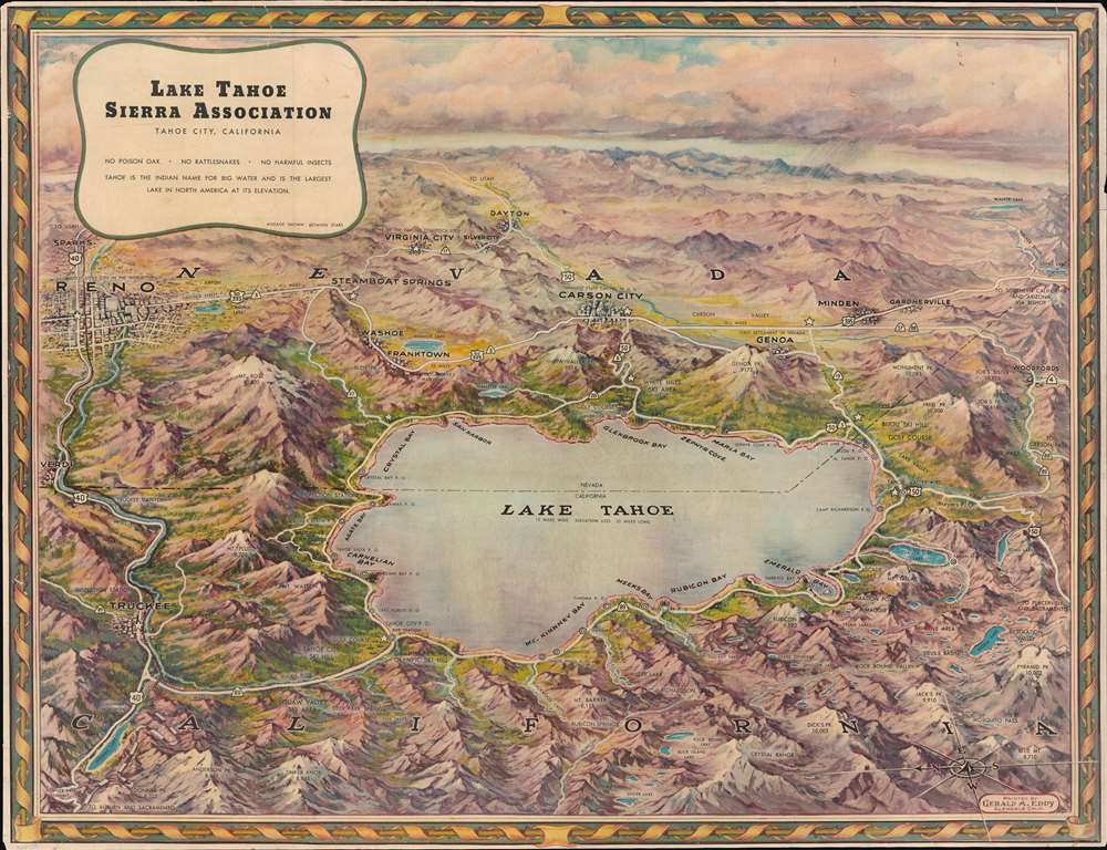
Lake Tahoe.
sold
- Digital Map Information
- Suitable for large format printing
- Full resolution TIFF file
- ICC color profile embedded
- Delivered instantly via download link
This is a gorgeous c. 1950 Gerald A. Eddy bird's-eye view map of Lake Tahoe. Situated astride the border between California and Nevada, Lake Tahoe dominates the foreground. Bays, harbors, and towns along its banks beckon to the weary Los Angeleno or other city dwellers, calling to them as sirens call to sailors. Ski resorts, mountain peaks, numerous smaller lakes, and other natural features contribute to the area's welcoming aura. Reno, Carson City, and Truckee all are labeled, along with many other towns. (more details)
Incredible pictorial map recounting Montana's frontier history.

Montana. Frontier. Pioneer.
sold
- Digital Map Information
- Suitable for large format printing
- File Size: 19.2 MB
- File Type: ZIP / TIFF
- ICC color profile embedded
- Delivered instantly via download link
This is a 1937 Irvin Shope pictorial map of Montana. The map depicts the state from Idaho to the Dakotas and from Canada to Wyoming, including Yellowstone National Park. Highly detailed, myriad captions, vignettes, and other illustrations populate the map, creating a visual representation of Montana's history. Most of the captions recount tales of the Wild West, outlaws, vigilantes, and frontier violence and 'justice' abound. Others inform the viewer of more conventional milestones, such as the location of the first Territorial Legislature or that Virginia City was the first capital of the Montana Territory. Numerous cities and towns of all sizes are labeled, including Helena, Missoula, and Bozeman. Vignettes frame the map, illustrating 'the major frontier industries: trapping, mining, cattle and sheep raising, and lumbering'. A legend along the bottom border explains the various notations utilized on the map. (more details)