
NEW ACQUISITIONS
Precursor to the Catastro.
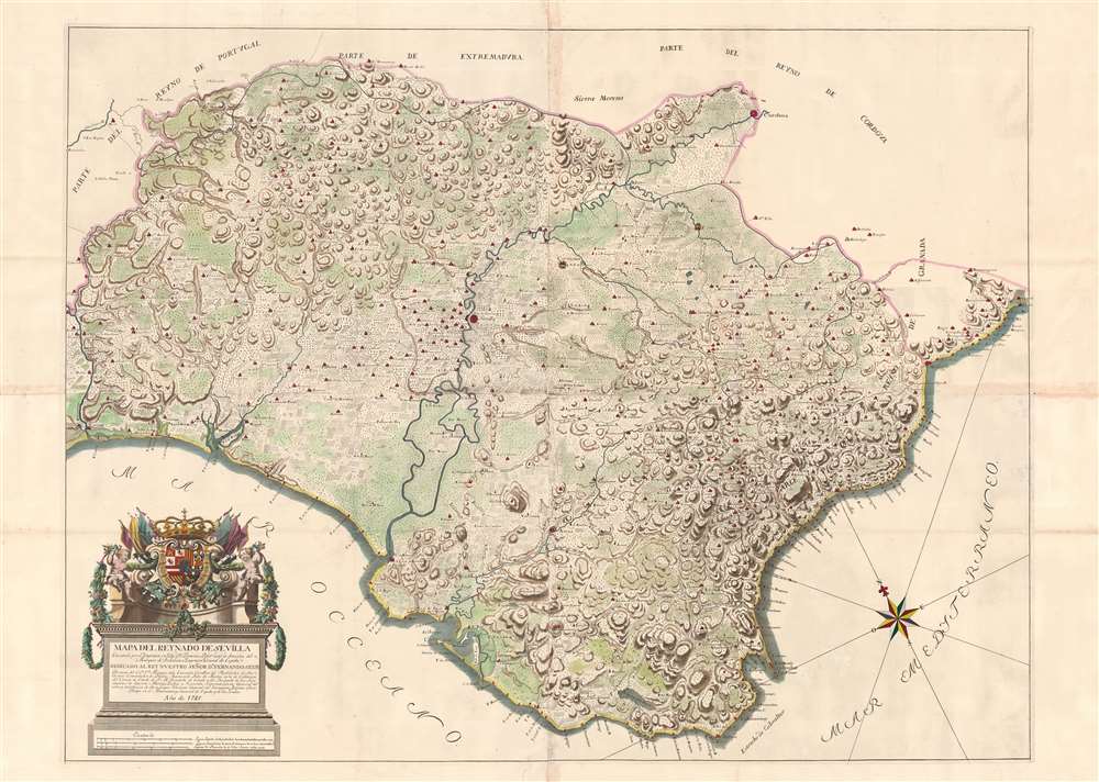
Mapa del Reynado de Sevilla executado por el Ingenioro en Geje Dn. Francisco Llobet.
$2,500.00
Acquire
- Digital Map Information
- Suitable for large format printing
- DPI: 600
- File Size: 92.56 MB
- File Type: ZIP / TIFF
- ICC color profile embedded
- Delivered instantly via download link
An exceptional 1748 wall map of the Kingdom of Sevilla or Seville, Spain, by Francisco Llobet. Coverage extends from the Guadiana River, or Odiana, which forms the western border of Sevilla and Portugal, to the border with Granada, and from Extremadura and Cordova to the Gulf of Cádiz. It is large, with meticulous detail, illustrating towns, villages, and roads. Some effort is made to further illustrate terrain, distinguishing between developed agricultural lands, mountains, marshy terrain, lowland plains, and forests. A dramatic cartouche in the lower left takes the form of a Romanesque plinth, surmounted by the royal arms of King Ferdinand VI (1713 - 1759). (more details)
Large format map of Luxembourg.
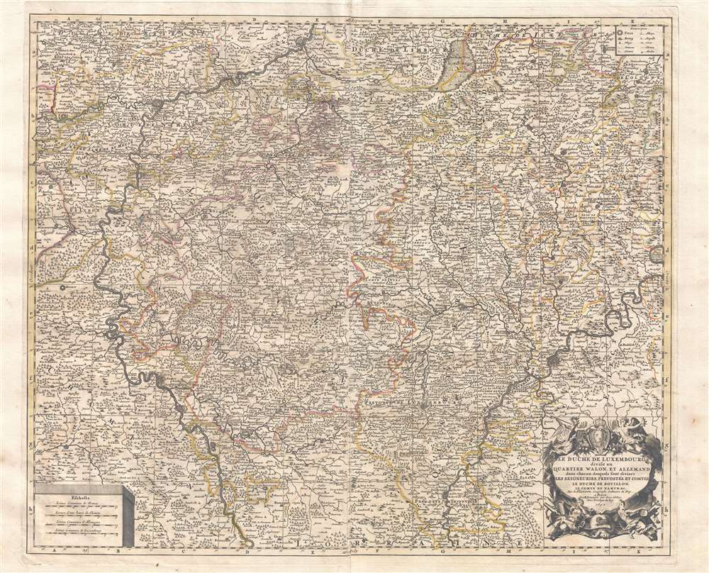
Le duché de Luxembourg divisé en quartier Wallon, et allemand dans chacun desquels sont diviséz les seigneuries, prevostés et comtés, le duché de Bouillon, le comté de Namur, etc.
$1,500.00
Acquire
- Digital Map Information
- Suitable for large format printing
- Full resolution TIFF file
- ICC color profile embedded
- Delivered instantly via download link
This is a large, impressive 1692 Alexis-Hubert Jaillot map of Luxembourg and parts of Belgium. Focused on the region between the Meuse and Moselle Rivers, the map depicts in minute detail from Rocroy in the west to Virnenbourg in the east and from Liege in the north to Thionville in the south. An elaborate allegorical cartouche appears in the lower right quadrant. Additional, less decorative, cartouches in the upper right and lower left feature a key and distance scale, respectively. Map names major and minor towns, rivers, counties, some topographical features, and political districts. (more details)
British field use military map from World War I East Africa Campaign.
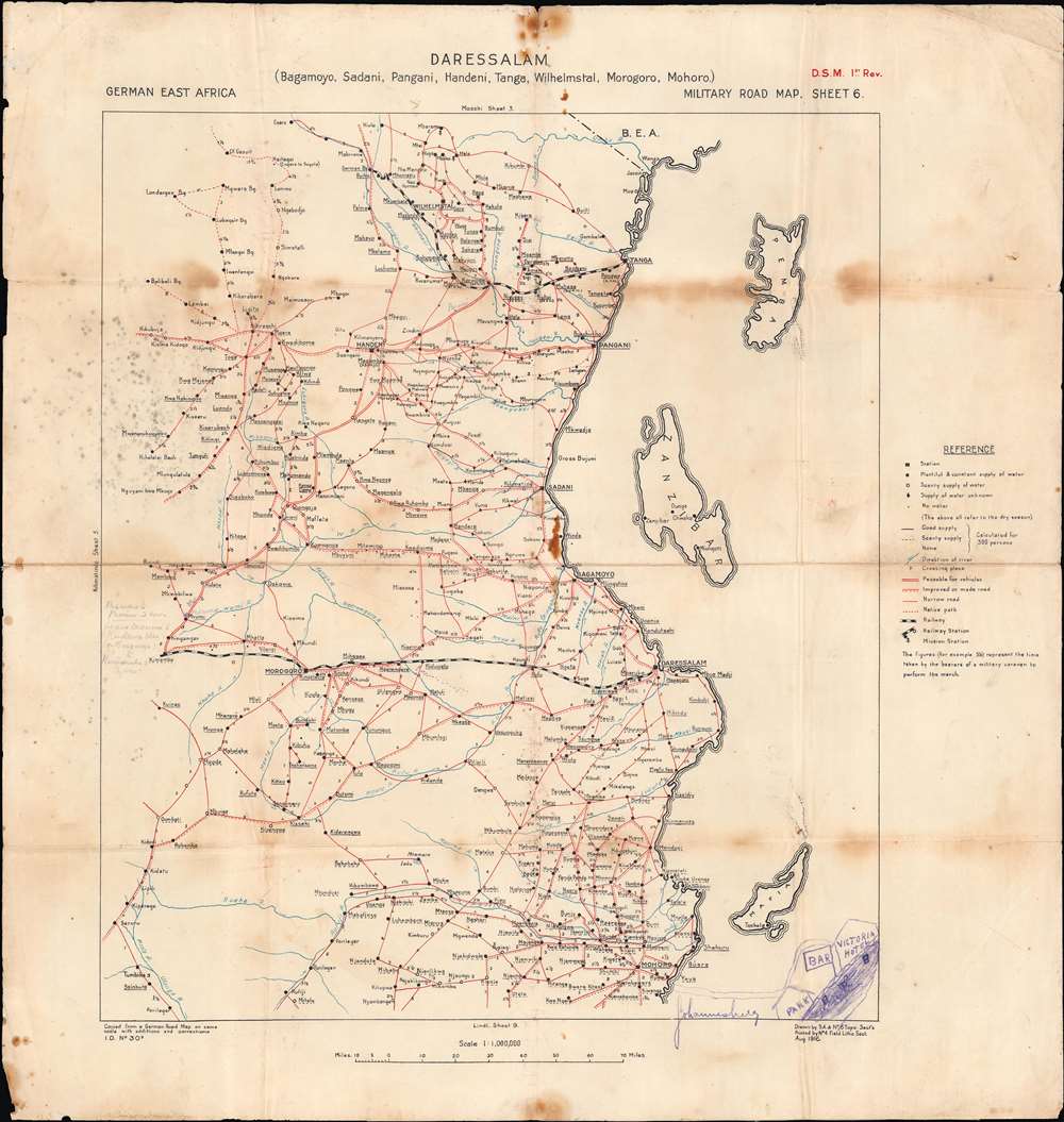
Dar es Salaam. German East Africa Military Road Map. Sheet 6.
$750.00
Acquire
- Digital Map Information
- Suitable for large format printing
- Full resolution TIFF file
- ICC color profile embedded
- Delivered instantly via download link
A unique relic of the WWI East Africa Campaign, this is an 1916 map by the British Ordnance Survey showing German East Africa, or modern-day Tanzania. It was used during the East Africa Campaign during World War I (1914 - 1918) and has several handwritten annotations suggesting field activity. (more details)
An Elegant Classic of French Cartographic Art.
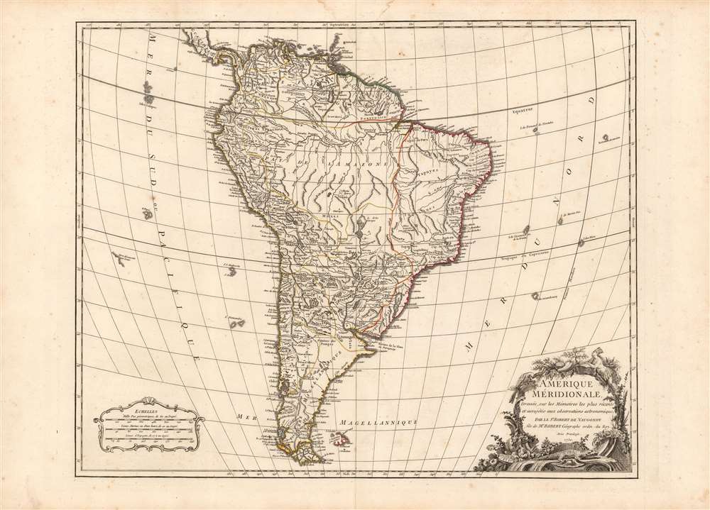
Amerique Meridionale, dressee, sur les Mémoires les plus récents et assujétie aux observations astronomique Par le Sr. Robert de Vaugondy fils de Mr. Robert Géographe ordin. du Roy. Avec Privilege. 1750.
$750.00
Acquire
- Digital Map Information
- Suitable for large format printing
- DPI: 600
- File Size: 25.28 MB
- File Type: ZIP / TIFF
- ICC color profile embedded
- Delivered instantly via download link
This is a beautiful 1757 map of South America by Gilles Robert de Vaugondy. It covers the continent from Panama to Tierra del Fuego and Cape Horn. Excellent detail appears throughout, depicting mountains, rivers, forests, swamps, cities, and a host of additional topographic features. (more details)
Missionaries in China and social upheaval.
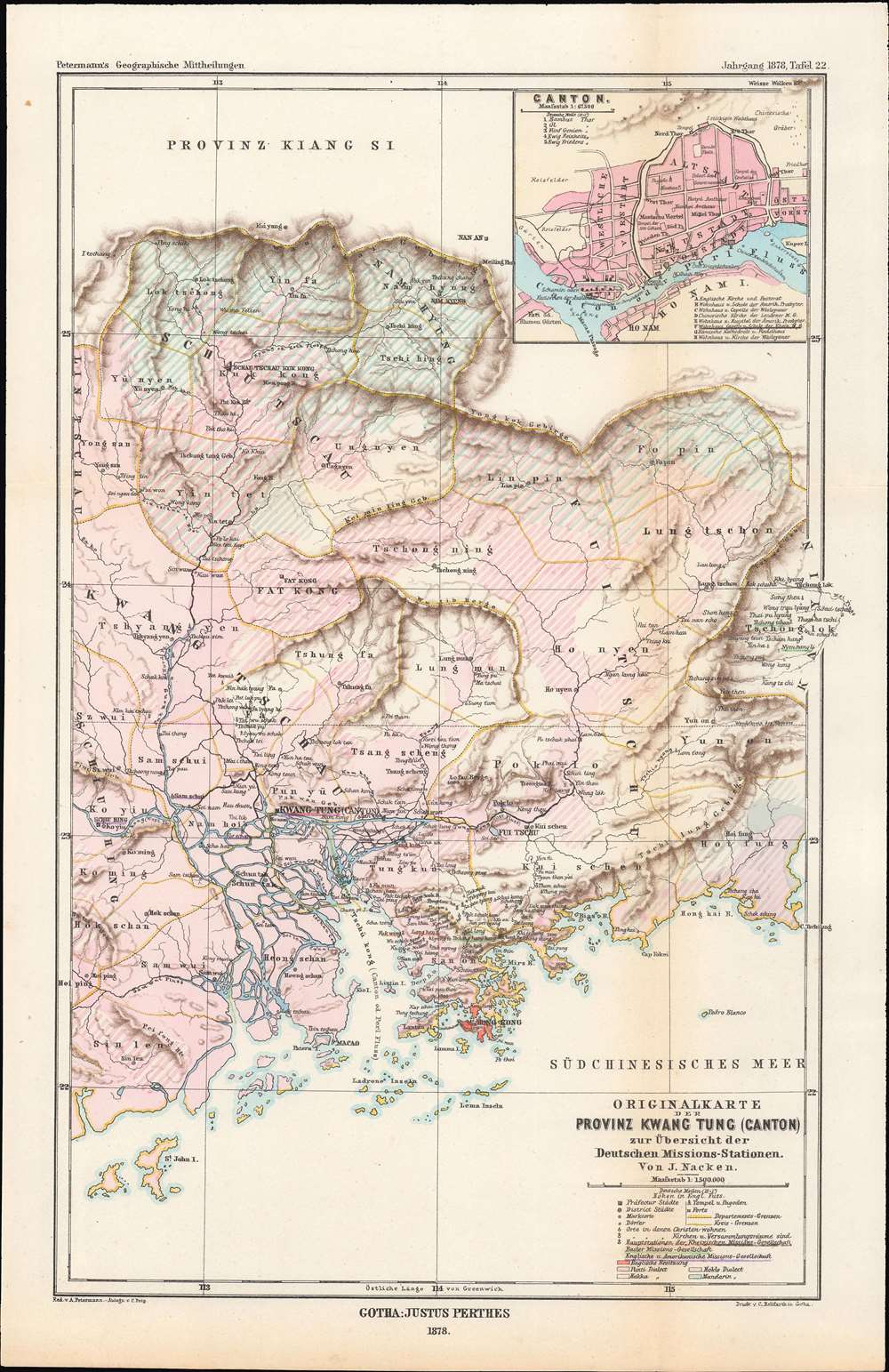
Originalkarte der Provinz Kwang Tung (Canton) zur Übersicht der Deutschen Missions-Stationen von J. Nacken / [Original map overview of the German mission stations of the province of Kwang Tung (Canton)].
$450.00
Acquire
- Digital Map Information
- Suitable for large format printing
- File Size: 7.92 MB
- File Type: ZIP / TIFF
- ICC color profile embedded
- Delivered instantly via download link
This is an 1878 Rev. Johannes Nacken map of the German mission stations in Guangdong Province, China, originally published in the geography journal Petermann's Geographische Mitteilungen. The map is indicative of the level of geographic and cultural knowledge about China in Europe at the time. (more details)
Pundits on the 'roof of the world'.
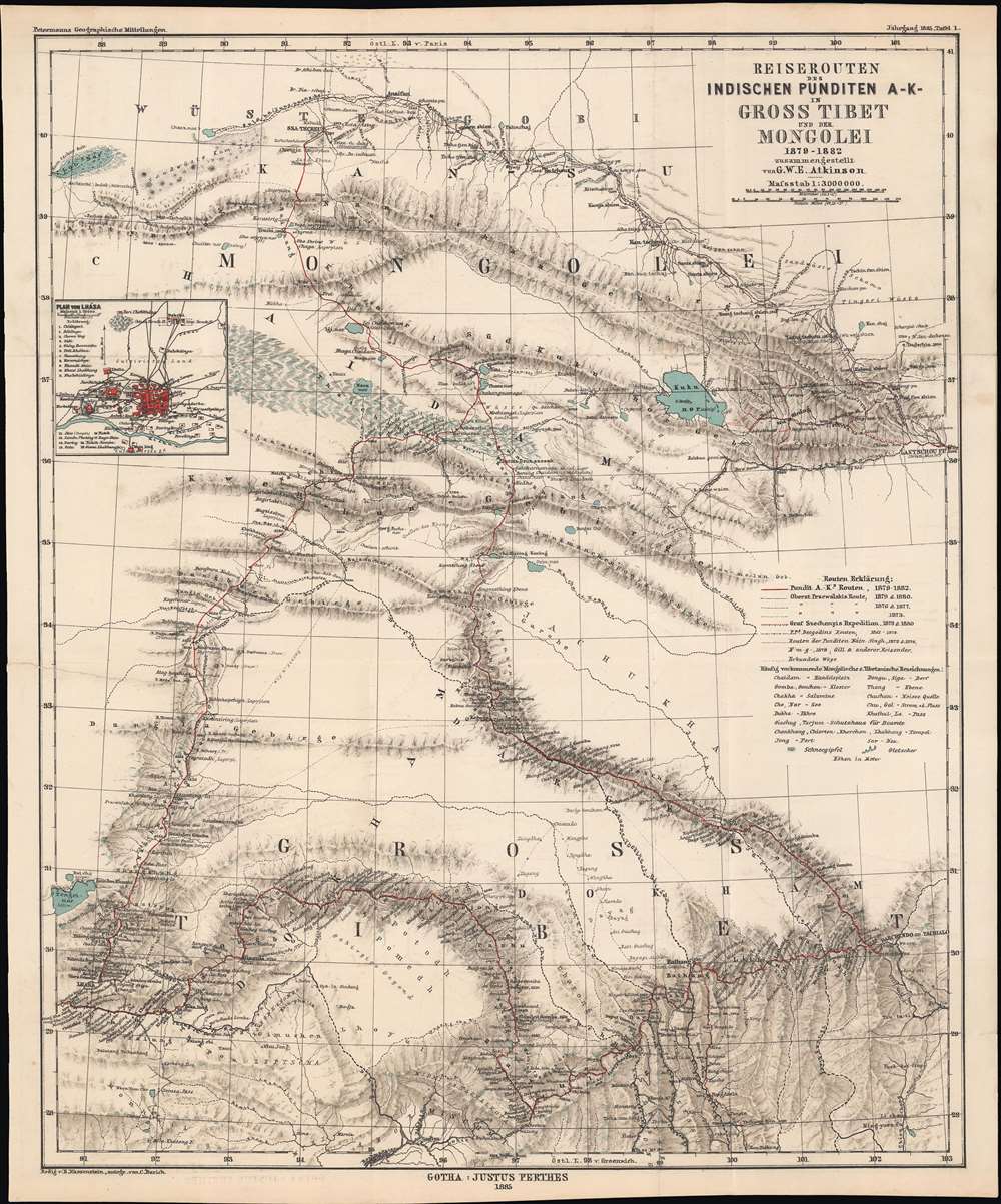
Reiserouten des Indischen Punditen A - K - in Gross Tibet und der Mongolei 1879 - 1882.
$400.00
Acquire
- Digital Map Information
- Suitable for large format printing
- File Size: 22.03 MB
- File Type: ZIP / TIFF
- ICC color profile embedded
- Delivered instantly via download link
This is an 1885 map of expeditions in western China compiled by G.W.E. Atkinson. The map depicts much of today's Qinghai Province and Tibetan Autonomous Region. The map is based not only upon European expeditions, but also those of the Pundits, or Pandits - Indian and / or Tibetan explorers working secretly for the British. (more details)
Pictorial map highlighting important events in global exploration.
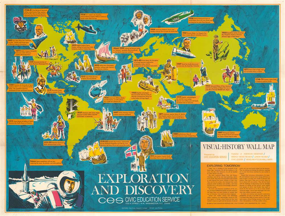
Exploration and Discovery. Visual-History Wall Map.
$350.00
Acquire
This is a 1966 Civic Education Service pictorial map of the world highlighting historical exploration and discovery. Nearly three dozen historical events are described on banners across the world. These include Leif Ericson's landing at 'Vinland', Hudson's exploration of Hudson Bay, Magellan's circumnavigation of the Earth, Stanley and Livingstone's meeting in Africa, and John Glenn's orbit of the Earth in Friendship 7. Pictorial vignettes illustrate each event, with portraits of Roald Amundsen, Hernando Cortez, and Amerigo Vespucci, among them. An illustration of space exploration appears in the lower left corner, illustrating the next frontier of human exploration. Only three years later Armstrong and Aldrin walked on the Moon. Unfortunately, their prediction that humanity would explore the planets and other galaxies has not come to fruition. (more details)
Charming Key West!
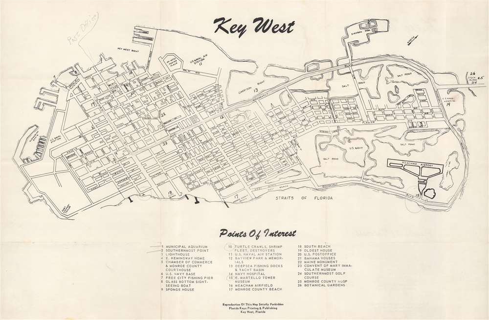
Key West.
$250.00
Acquire
This is a c. 1970 Florida Keys Printing and Publishing city plan or map of Key West, Florida. The U.S. Naval Air Station, the U.S. Naval submarine basin, Fort Zachary Taylor, City Beach, and Monroe County Beach are labeled. Twenty-six points of interest are numerically marked, including Ernest Hemingway's house, the municipal aquarium, Meacham Airfield, and the Botanical Gardens, and correspond with an index situated below the map. Streets throughout Key West are illustrated and identified. (more details)
Asia, from America's first atlas.
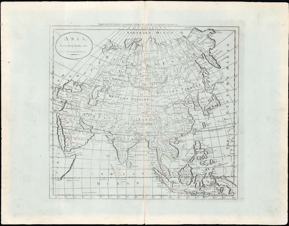
Asia, according to the best authorities.
$200.00
Acquire
- Digital Map Information
- Suitable for large format printing
- Full resolution TIFF file
- ICC color profile embedded
- Delivered instantly via download link
This is an uncommon c. 1796 map of Asia from Carey's General Atlas, the first atlas published in the United States after Independence. The map stretches from Asia Minor and Arabia across to Japan, the Philippines, and Indonesia, and from the arctic north of Siberia south to the Indian Ocean. (more details)
The immediate aftermath of the Great Kanto Earthquake.
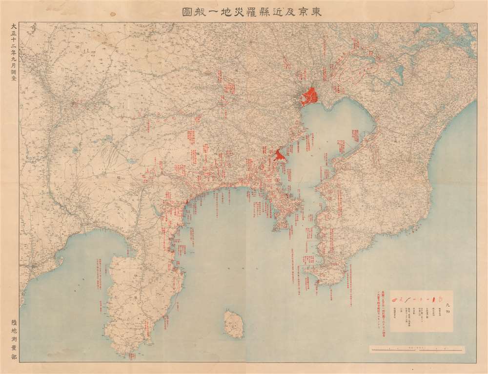
東京及近縣罹災地一般圖 / [Map of Destroyed Areas in Tokyo and Surrounding Prefectures].
$1,250.00
Acquire
- Digital Map Information
- Suitable for large format printing
- File Size: 89.35 MB
- File Type: ZIP / TIFF
- ICC color profile embedded
- Delivered instantly via download link
This is a stark 1923 map of Tokyo, Yokohama, and the Kanto region produced by the Imperial Japanese Land Survey Bureau depicting areas severely damaged or destroyed by the Great Kanto Earthquake and consequent fires. It was issued shortly after the disaster, as the government struggled to suppress fires, quell social unrest, and assess the widespread damage. (more details)
Maritime flags of major powers soon after the Congress of Vienna.
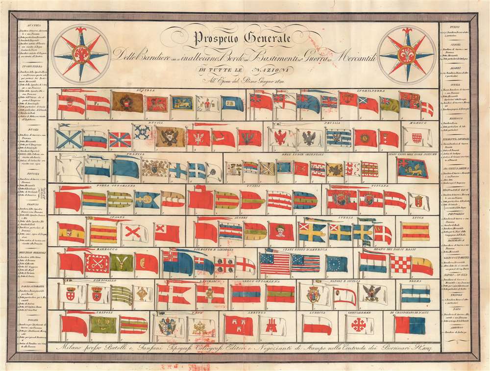
Prospetto Generale delle Bandiere che si inalberano a bordo dei Bastimenti di Guerra e Merchantili / [General Prospectus of flags aboard War and Mercantile Vessels].
$900.00
Acquire
- Digital Map Information
- Suitable for large format printing
- Full resolution TIFF file
- ICC color profile embedded
- Delivered instantly via download link
This is a rare 1820 Luigi Rossi chart of maritime flags of various major European, Mediterranean, and World powers, including Great Britain, France, Russia, the Ottoman Empire, and the United States of America. (more details)
The Heavens without a Telescope, The Only Practical Combination Star, Planet, and Sun and Moon Map. - Barritt
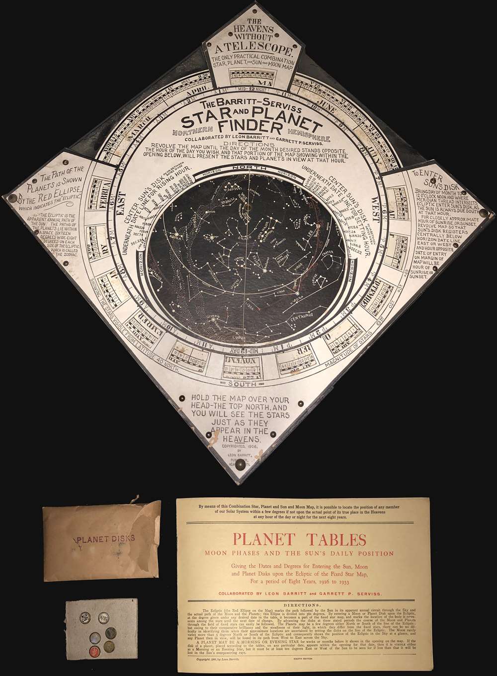
The Barritt-Serviss Star and Planet Finder Northern Hemisphere.
$750.00
Acquire
An unusual tool for the amateur astronomer, this is Leon Barritt and Garrett Serviss's 1906 star and planet finder. The tool consists of a celestial map set into a frame. The map can be rotated to reveal the night sky of the Northern Hemisphere on each day of the month. The chart is surrounded by a wealth of additional astronomical information associated with Ellipses, the Elliptic, the sun, and more. The tool is further accompanied by a book of planetary Tables as well as six pushpin planet disks covering the Sun, Mercury, Mars, Venus, Jupiter, and Saturn. It is promoted as 'The Heavens without a Telescope, The Only Practical Combination Star, Planet, and Sun and Moon Map.' (more details)
The last year of WWII.
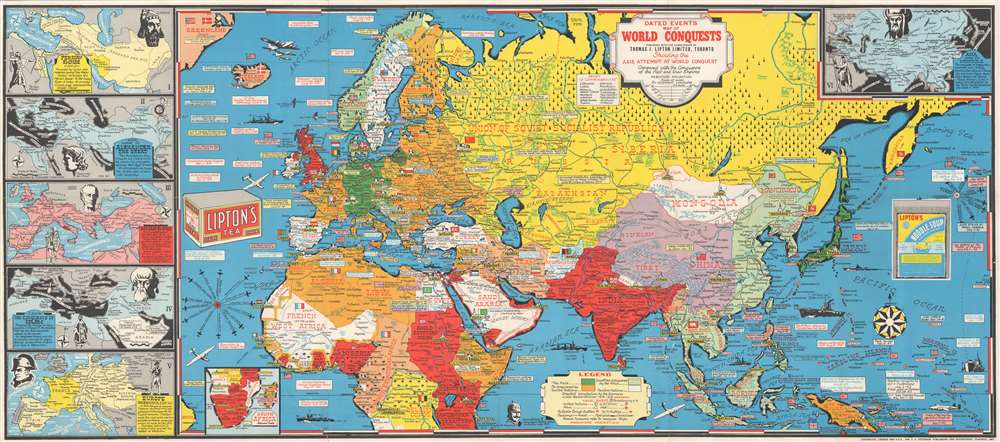
Dated Events Map of World Conquests Showing Axis Attempt at World Conquest.
$650.00
Acquire
- Digital Map Information
- Suitable for large format printing
- File Size: 39.39 MB
- File Type: ZIP / TIFF
- ICC color profile embedded
- Delivered instantly via download link
This 1944 Stanley Francis Turner map of Europe, Africa, and Asia illustrates the world on the eve of 1945, the final year of World War II (1939 - 1945). Text boxes scattered throughout chronicle important wartime events, including the D-Day invasion of France, the liberation of Paris, and MacArthur's return to the Philippines, along with numerous others. The United Nations are shaded red, while land controlled by the Axis is green. Light green areas (limited to Asia only) illustrate conquered areas still controlled by the Axis. Countries are labeled and bear their flag, while world capitals are marked by yellow banners and small icons of buildings. Illustrations of airplanes and warships dot the map. Aerial distance charts to Berlin and Tokyo also appear. A small inset along the bottom border illustrates southern Africa and Madagascar and uses the same color scheme to portray alliances. (more details)
Ups and downs and New York canals.
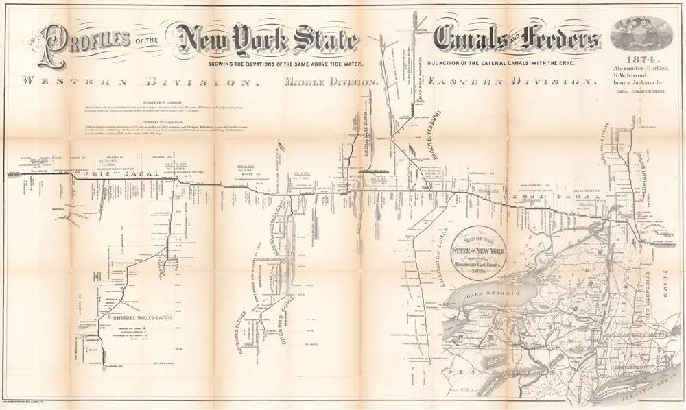
Profiles of the New York State Canals and Feeders Showing the Elevations of the Same Above Tide Water and Junction of the Lateral Canals with the Erie.
$400.00
Acquire
- Digital Map Information
- Suitable for large format printing
- File Size: 34.44 MB
- File Type: ZIP / TIFF
- ICC color profile embedded
- Delivered instantly via download link
This is an 1874 New York State Canal Commissioners profile map of New York canals. Illustrating height changes along New York's primary canals: the Erie Canal, Champlain Canal, Chenango Canal, Chemung Canal, Genesee Valley Canal, Black River Canal, Oneida Lake Canal, and Cayuga and Seneca Canal. The Erie Canal stretches across the sheet. Divided into the Eastern, Middle, and Western divisions, counties, superintendent's sections, and other divisions along the Erie Canal are delineated. Height changes and distances of each part of the canal are presented. Cities, aqueducts, falls, and other waypoints are labeled. The other canals, along with their feeders, are illustrated in much the same manner. Numerous lakes along the canal routes appear as well, including Seneca Lake, Cayuga Lake, and Crooked Lake. (more details)
The Panama-Pacific Exposition.
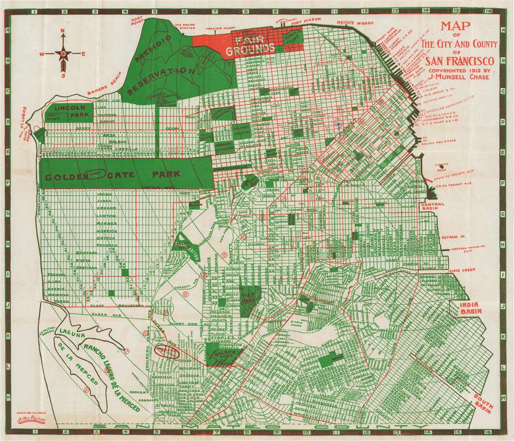
Map of The City and County of San Francisco.
$400.00
Acquire
- Digital Map Information
- Suitable for large format printing
- File Size: 17.49 MB
- File Type: ZIP / TIFF
- ICC color profile embedded
- Delivered instantly via download link
This is a 1915 J. Munsell Chase city plan or map of San Francisco, California, published as a guide during the Panama-Pacific International Exposition. The fairgrounds near the Presidio are highlighted in red, as are major streets. City parks (including Golden Gate Park), squares, and cemeteries are shaded green. San Francisco's many piers are identified as well. (more details)
MacArthur's plans to invade the Philippines.
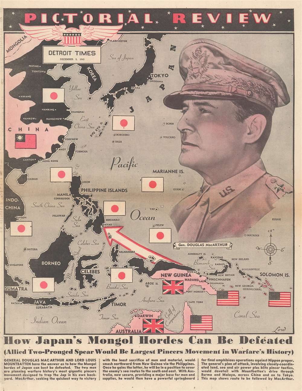
Pictorial Review. How Japan's Mongol Hordes Can Be Defeated.
$350.00
Acquire
- Digital Map Information
- Suitable for large format printing
- Full resolution TIFF file
- ICC color profile embedded
- Delivered instantly via download link
This is a 1943 Lord pictorial map of East Asia and the Southwest Pacific during World War II (1939 - 1945). Japanese flags and black ink mark zone of Japanese occupation, including eastern China, Korea, Southeast Asia, the Philippines, and Indonesia. A Chinese Nationalist flag marks China, while British and American flags appear in New Guinea, Australia, and the Solomon Islands. A red and white arrow pierces through the Japanese defensive 'ring' and illustrates General Douglas MacArthur's assault on the Philippines. A large portrait of MacArthur (1880 - 1964) in his trademark khaki uniform overlooking the map dominates the right side of the sheet. Text along the bottom exalts MacArthur and Lord Louis Mountbatten's (1900 - 1979) proposed 'pincer movement' to push the Japanese back to the Home Islands. (more details)
Electric railways in Ohio and parts of Indiana and Pennsylvania.
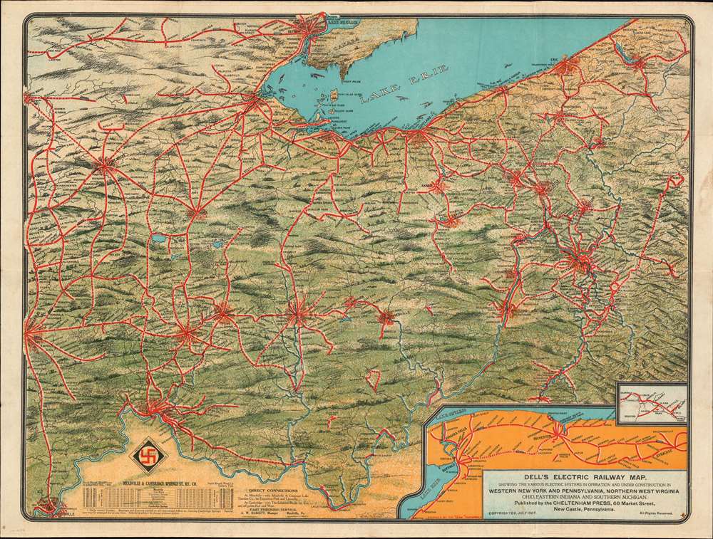
Dell's Electric Railway Map Showing the Various Electric Systems in Operation and Under Construction in Western New York and Pennsylvania, Northern West Virginia, Ohio, Eastern Indiana, and Southern Michigan.
$950.00
Acquire
- Digital Map Information
- Suitable for large format printing
- File Size: 40.77 MB
- File Type: ZIP / TIFF
- ICC color profile embedded
- Delivered instantly via download link
This is a 1907 Dell's Electric Railway chromolithograph map of Ohio, Indiana, and Pennsylvania. Depicting from Indianapolis to Pittsburgh and from Detroit to Louisville, solid red lines trace electric railways currently in operation and dashed red lines mark those under construction. Cities and towns with stations are labeled along the routes, many of which are illustrated with electric train cars. Some networks, particularly around major cities, are extensive and can stretch hundreds of miles, while other rural systems only connect a handful of small towns. Two insets are included in the lower right corner. One illustrates the electric rail network between Syracuse, Buffalo, and Niagara Falls, while the smaller inset focuses on the small network between Shingle House and Salamanca in New York. Stylistically this map is similar to other semi-view style maps issued to promote New England electric railways. (more details)
Biscuits and candy for war!
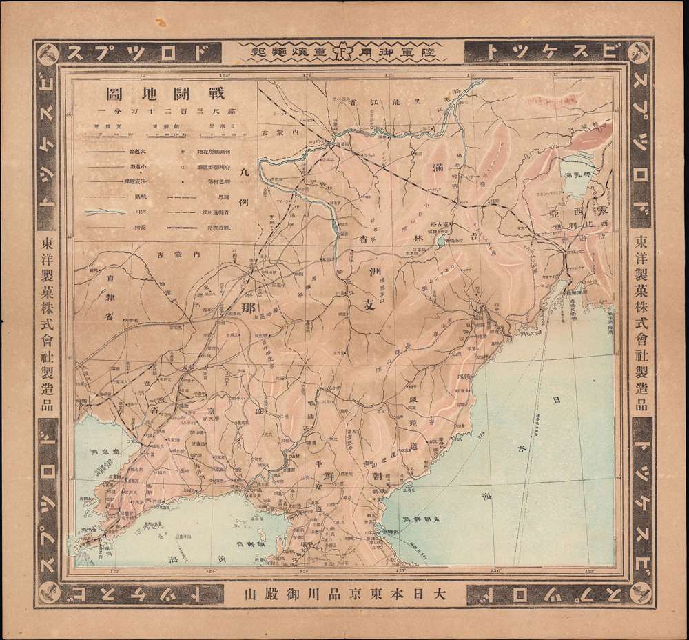
戰鬪地圖 / [Battle Map].
$950.00
Acquire
- Digital Map Information
- Suitable for large format printing
- File Size: 14.35 MB
- File Type: ZIP / TIFF
- ICC color profile embedded
- Delivered instantly via download link
This is a peculiar and very rare c. 1905 'battle map' of Manchuria produced by the Tōyō Confectionary. While this may seem an odd producer for a war map, Tōyō was a major purveyor of food for the Japanese military, namely hardtack biscuits, and thus had a sustained interest in the course of the conflict. (more details)
Early reconnaissance of the California Gold Region.
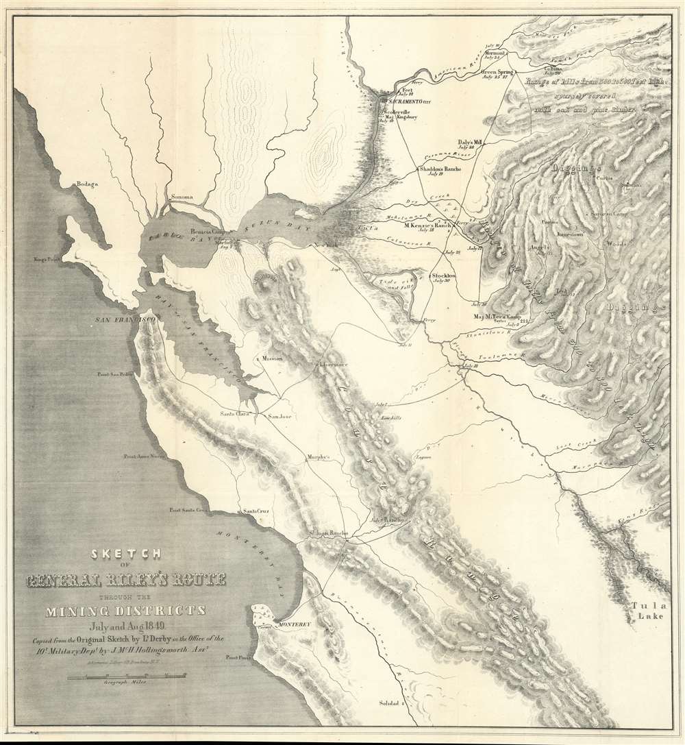
Sketch of General Riley's Route Through the Mining Districts July and Aug 1849.
$650.00
Acquire
- Digital Map Information
- Suitable for large format printing
- Full resolution TIFF file
- ICC color profile embedded
- Delivered instantly via download link
This is an uncommon California Gold Rush Era map of the gold regions to the west of San Francisco Bay, California. The map follows the 1849 expedition of General Bennet C. Riley (1787 - 1853), California's first 'civilian' governor, to gather important reconnaissance of the gold diggings and mining at the height of the Gold Rush. Although the full mining area is not encapsulated, coverage is extensive, ranging from the Pacific Coast to the western Sierra Nevada Range, and from just north of Sacramento to Tule Lake. The map notes the diggings along the America River, early roads, towns, rivers, etc., including Scollerville, Green Spring, Colluma, Jonestone, Corons, Angel's, Sororam Camp, Sullivan's, Curtis, Woods, Tent, Maj. Miller's Camp, M. Kenzie's Ranch, Stockton, Daly's Mill, etc. (more details)
Bold Venture by a Disastrous Real Estate Man.
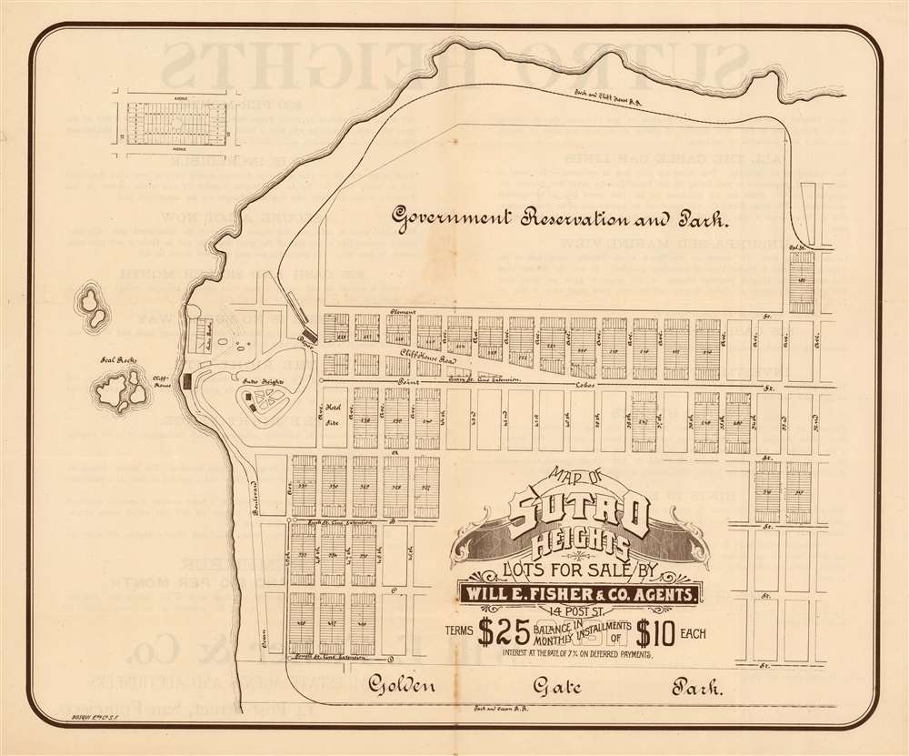
Map of Sutro Heights Lots for Sale by Will E. Fisher and Co. Agents.
$650.00
Acquire
- Digital Map Information
- Suitable for large format printing
- File Size: 20.12 MB
- File Type: ZIP / TIFF
- ICC color profile embedded
- Delivered instantly via download link
This is an elegant 1893 lithograph map of the Vista Del Mar neighborhood of San Francisco - at that time promoted as Sutro Heights. The lots for sale on this map fall between what is now Geary Boulevard and Fulton Street, west of the Richmond district. (more details)