
Illman, Thomas (sold)

Thomas Illman (fl. c. 1824 – 1858) was an English engraver active in New York City during the early 19th century. Illman was born in England and attended Trinity College in Oxford where he attained a degree in theology. Despite initial religious fervor, he soon became an atheist. Professionally he turned to engraving to support his artistic tendencies. In London he mastered the engraver's art. His first paying work as an artist was illustrating for Thomas Carlyle's Confessions of an English Opium Eater. He relocated to New York City in 1828, almost immediately partnering with Edward Pilbrow to found the firm Illman and Pilbrow. Illman and Pillbrow were almost immediately hired by David H. Burr to engrave maps for his Universal Atlas, which he began working on in that year. When Burr took a position as topographer and cartographer for the United States Post Office, he ceded all remaining work on the Atlas to Illman and Pilbrow. In addition to his atlas work, Illman privately pursued his own art as well as engraved portraits and landscapes. He was admired as a skilled line, stipple, and mezzotint engraver. At some point he may have relocated to Philadelphia. His sons, H. Illman and G. Illman followed in his footsteps founding Illman Sons in 1845
Early 19th century map of Netherlands, Belgium and Luxembourg.
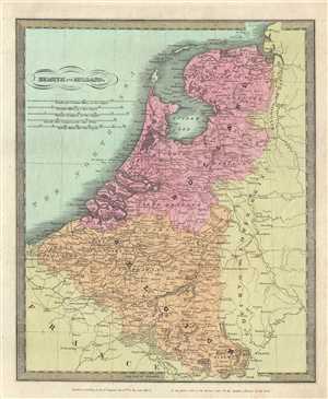
Belgium and Holland.
sold
- Digital Map Information
- Suitable for large format printing
- DPI: 300
- File Size: 5.92 MB
- File Type: ZIP / TIFF
- ICC color profile embedded
- Delivered instantly via download link
This is an example of David H. Burr’s 1831 first edition map of Holland (the Netherlands), Belgium and Luxemburg. It covers from the North Sea to Luxembourg. Towns, rivers, mountains, canals and various other important topographical details are noted. Elevation ... (more details)
Burr's first edition map of Mexico before the Texas War of Independence.
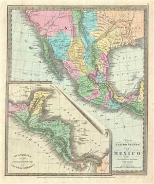
The United States of Mexico.
sold
- Digital Map Information
- Suitable for large format printing
- DPI: 300
- File Size: 5.26 MB
- File Type: ZIP / TIFF
- ICC color profile embedded
- Delivered instantly via download link
This is an attractive 1832 first edition map of Mexico and Guatemala by David H. Burr. It covers from Upper California south to Panama including the modern day region of California, New Mexico, Arizona, Colorado, Utah, Nevada, Texas, Guatemala, Honduras, ... (more details)
Beautiful map of New York State.
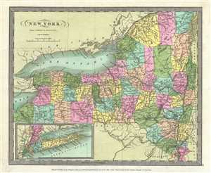
New York.
sold
- Digital Map Information
- Suitable for large format printing
- DPI: 300
- File Size: 5.72 MB
- File Type: ZIP / TIFF
- ICC color profile embedded
- Delivered instantly via download link
A nice example of David H. Burr’s 1832 first edition map of New York State. Includes Lake Ontario. The southern end of the state including Long Island in depicted in an inset in the lower left quadrant of the map. The map is detailed with important ... (more details)
Burr's map of Palestine during the waning Ottoman years
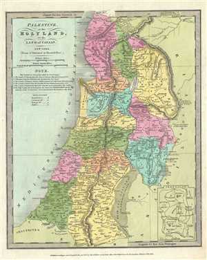
Palestine, or the Holy Land, Or the Land of Canaan.
sold
- Digital Map Information
- Suitable for large format printing
- DPI: 300
- File Size: 5.25 MB
- File Type: ZIP / TIFF
- ICC color profile embedded
- Delivered instantly via download link
This is an interesting 1832 example of the 1832 first edition map of Israel, Palestine or the Holy Land by David H. Burr. It covers the region from Sidon south to the southern tip of the Dead Sea and includes the modern day nations of Israel, Lebanon ... (more details)
Burr's vivid depiction of the British Isles.
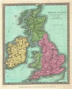
British Islands.
sold
- Digital Map Information
- Suitable for large format printing
- DPI: 300
- File Size: 6.05 MB
- File Type: ZIP / TIFF
- ICC color profile embedded
- Delivered instantly via download link
This is a beautiful 1832 first edition map of the British Isles by David Burr. In includes England, Scotland, Wales and Ireland and covers from the southern tip of the Shetland Islands to the Scilly Isles in the south. This map notes towns, rivers, ... (more details)
Burr's mapping of Canada's maritime provinces.
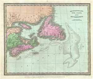
Newfoundland Nova Scotia and New Brunswick.
sold
- Digital Map Information
- Suitable for large format printing
- DPI: 300
- File Size: 4.79 MB
- File Type: ZIP / TIFF
- ICC color profile embedded
- Delivered instantly via download link
This is a beautiful 1833 first edition example of David F. Burr’s map of Canada's Maritime Provinces, including New Brunswick, Nova Scotia, Newfoundland, and Prince Edward Island. The map covers all of New Brunswick, Nova Scotia, Newfoundland and ... (more details)
Burr's representation of Chile and Argentina.
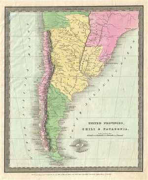
United Provinces, Chili and Patagonia.
sold
- Digital Map Information
- Suitable for large format printing
- DPI: 300
- File Size: 4.73 MB
- File Type: ZIP / TIFF
- ICC color profile embedded
- Delivered instantly via download link
This is a first edition 1833 map of Chile and Argentina by David H. Burr. It covers Chile and Argentina along with parts of Bolivia and Paraguay. Throughout, the map identifies various cities, towns, rivers, mountain passes and an assortment of ... (more details)
Attractive map of Maryland and Delaware.
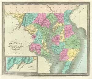
Delaware and Maryland.
sold
- Digital Map Information
- Suitable for large format printing
- DPI: 300
- File Size: 5.61 MB
- File Type: ZIP / TIFF
- ICC color profile embedded
- Delivered instantly via download link
This is an attractive 1833 first edition map of Maryland and Delaware including Washington D.C. by David H. Burr. Rendered the Chesapeake Bay in full. The western part of Maryland is depicted in an inset in the lower left quadrant. The map ... (more details)
Early map of Indiana depicting the changing American Indian situation.
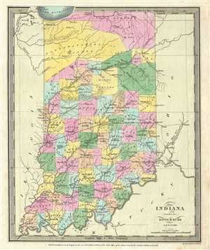
Indiana.
sold
- Digital Map Information
- Suitable for large format printing
- DPI: 300
- File Size: 4.97 MB
- File Type: ZIP / TIFF
- ICC color profile embedded
- Delivered instantly via download link
A beautiful example of David H. Burr’s important map of Indiana. Depicts the state with moderate detail showing river ways, roads, canals, and some topographical features. Offers color-coding at the county level. Burr’s map is ... (more details)
An interesting early American map of the Oregon Territory advocating American territorial claims to British Columbia.
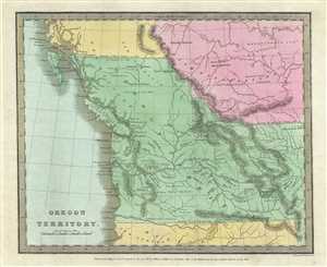
Oregon Territory.
sold
- Digital Map Information
- Suitable for large format printing
- DPI: 300
- File Size: 5.59 MB
- File Type: ZIP / TIFF
- ICC color profile embedded
- Delivered instantly via download link
This is the 1833 first edition map of the Oregon Territory issued by David H. Burr. The map covers from the Los Mongos River and Lake Timpanoges (Great Salt Lake), north as far as Prince of Wales Island, including modern day ... (more details)
Map of the world as seen from the North Pole.
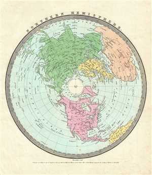
Northern Hemisphere.
sold
- Digital Map Information
- Suitable for large format printing
- DPI: 300
- File Size: 4.23 MB
- File Type: ZIP / TIFF
- ICC color profile embedded
- Delivered instantly via download link
This is a nice beautiful first edition 1833 David Burr map of the Northern Hemisphere. It depicts the world as seen from the North Pole and includes all of North America, Europe and Asia along with the northern portions of ... (more details)
Gorgeous Burritt hand colored Map of the Heavens.
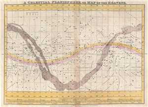
A Celestial Planisphere, or Map of the Heavens.
sold
- Digital Map Information
- Suitable for large format printing
- DPI: 300
- File Size: 7.62 MB
- File Type: ZIP / TIFF
- ICC color profile embedded
- Delivered instantly via download link
This is a rare and beautiful 1833 hand colored map of the night sky by Elijah Burritt. Centered on the ecliptic Line, this map identifies the various zones associated with each major constellation. The Milky Way is ... (more details)
Beautiful early map of Africa notes a speculative Lake Maravi and Mountains of the Moon.
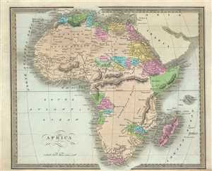
Africa.
sold
- Digital Map Information
- Suitable for large format printing
- DPI: 300
- File Size: 5.97 MB
- File Type: ZIP / TIFF
- ICC color profile embedded
- Delivered instantly via download link
An interesting example of the 1834 first edition map of Africa by David H. Burr. This is an early 19th century and historically important representation of the continent of Africa. Nineteenth century mapmakers were ... (more details)
Early map of Gran Columbia
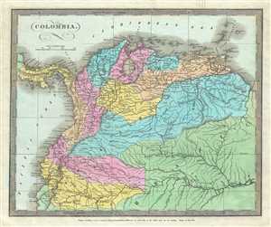
Colombia.
sold
- Digital Map Information
- Suitable for large format printing
- DPI: 300
- File Size: 5.71 MB
- File Type: ZIP / TIFF
- ICC color profile embedded
- Delivered instantly via download link
This is a first edition 1834 map of Colombia or Gran Colombia by David H. Burr. This map covers Gran Colombia or Great Colombia, which included territories of modern day Colombia, Venezuela, Ecuador, Panama, and ... (more details)
Nice first edition map of Egypt by David Burr.
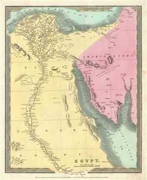
Egypt.
sold
- Digital Map Information
- Suitable for large format printing
- DPI: 300
- File Size: 4.85 MB
- File Type: ZIP / TIFF
- ICC color profile embedded
- Delivered instantly via download link
This is a lovely 1834 first edition map of Egypt by David H. Burr. It depicts Egypt, centered on the Nile River from its delta on the Mediterranean, south as far as Asalieh. Burr notes numerous cities and ... (more details)
Attractive 19th century map of Europe.
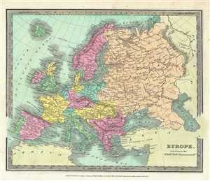
Europe.
sold
- Digital Map Information
- Suitable for large format printing
- DPI: 300
- File Size: 5.75 MB
- File Type: ZIP / TIFF
- ICC color profile embedded
- Delivered instantly via download link
This is a fine 1834 first edition map of Europe by David Burr. It covers the entire European continent and covers from the Atlantic to the Ural Mountains and from the Arctic Circle south to the ... (more details)
19th century map of European Russia.
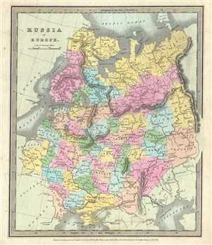
Russia in Europe.
sold
- Digital Map Information
- Suitable for large format printing
- DPI: 300
- File Size: 5.32 MB
- File Type: ZIP / TIFF
- ICC color profile embedded
- Delivered instantly via download link
This is a nice 1834 first edition map of European Russia by David H. Burr. It covers the European part of Russia from Poland to the Ural Mountains and from the Arctic Ocean to Circassia. It ... (more details)
Burr's vivid depiction of Georgia.
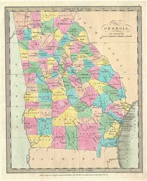
Georgia.
sold
- Digital Map Information
- Suitable for large format printing
- DPI: 300
- File Size: 4.39 MB
- File Type: ZIP / TIFF
- ICC color profile embedded
- Delivered instantly via download link
This first edition map of Georgia was issued by David S. Burr in 1834. It depicts the state in detail, noting roads, rivers, lakes and a host of other topographical features, with relief ... (more details)
Important early 19th century map of Illinois.
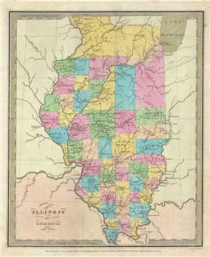
Illinois.
sold
- Digital Map Information
- Suitable for large format printing
- DPI: 300
- File Size: 5.43 MB
- File Type: ZIP / TIFF
- ICC color profile embedded
- Delivered instantly via download link
This is a good example of David H. Burr’s 1834 first edition map of Illinois. Offers color-coding at a county level and notes rivers, towns, cities, roads and renders elevation by ... (more details)
Map of Louisiana with early county division.
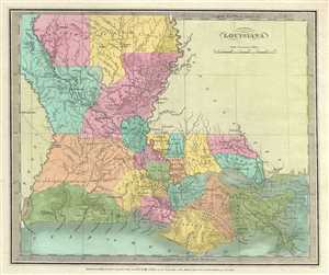
Louisiana.
sold
- Digital Map Information
- Suitable for large format printing
- DPI: 300
- File Size: 5.03 MB
- File Type: ZIP / TIFF
- ICC color profile embedded
- Delivered instantly via download link
This is a beautiful 1834 first edition map of Louisiana by David H. Burr. Shows river ways, roads, canals, swamps and some topographical features. Offers color-coding at the county ... (more details)
Early map depicting Lower Canada.
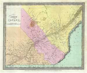
Lower Canada.
sold
- Digital Map Information
- Suitable for large format printing
- DPI: 300
- File Size: 4.92 MB
- File Type: ZIP / TIFF
- ICC color profile embedded
- Delivered instantly via download link
This is a good 1834 first edition example of David F. Burr’s map of Lower Canada. Centered on the St. Lawrence River, it covers part of Quebec or Lower Canada including the ... (more details)
Map of Missouri showing early county configurations.
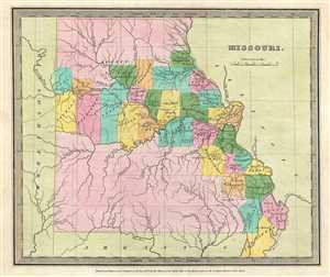
Missouri.
sold
- Digital Map Information
- Suitable for large format printing
- DPI: 300
- File Size: 4.46 MB
- File Type: ZIP / TIFF
- ICC color profile embedded
- Delivered instantly via download link
This is an unusual 1834 first edition map of Missouri by David H. Burr. It depicts the very early county configuration with most of the population attached to the Mississippi ... (more details)
One of the eariest maps to accurately show the true Northwest Passage.
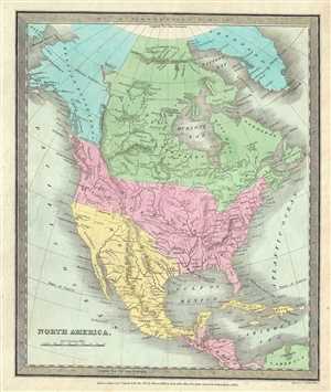
North America.
sold
- Digital Map Information
- Suitable for large format printing
- DPI: 300
- File Size: 5.62 MB
- File Type: ZIP / TIFF
- ICC color profile embedded
- Delivered instantly via download link
This is a beautiful example of the 1834 first edition map of North America by David H. Burr. Burr’s map covers the entire North American continent from the Arctic Circle to ... (more details)
Beautiful map depicting North Carolina and South Carolina.
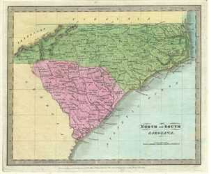
North and South Carolina.
sold
- Digital Map Information
- Suitable for large format printing
- DPI: 300
- File Size: 4.78 MB
- File Type: ZIP / TIFF
- ICC color profile embedded
- Delivered instantly via download link
This is an attractive 1834 first edition David H. Burr map of North Carolina and South Carolina. It notes both states depicting counties, rivers, roads, towns, cities, ... (more details)
Uncommon map featuring Pennsylvania
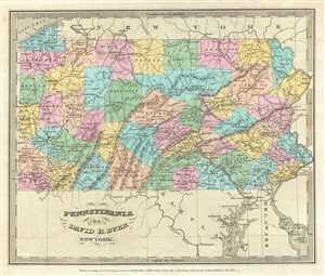
Pennsylvania.
sold
- Digital Map Information
- Suitable for large format printing
- DPI: 300
- File Size: 5.69 MB
- File Type: ZIP / TIFF
- ICC color profile embedded
- Delivered instantly via download link
This is an important 1834 first edition map of Pennsylvania by David H. Burr. Depicts the state in detail, noting rivers, roads, cities, town and other topographical ... (more details)
Burr's first edition map depicting Scotland.
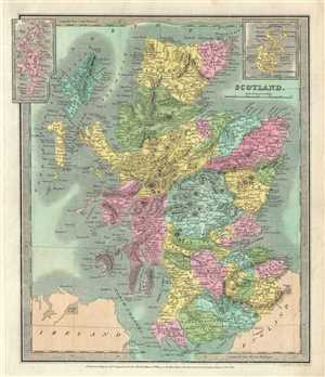
Scotland.
sold
- Digital Map Information
- Suitable for large format printing
- DPI: 300
- File Size: 6.6 MB
- File Type: ZIP / TIFF
- ICC color profile embedded
- Delivered instantly via download link
An attractive 1834 first edition map of Scotland by David H. Burr. It covers Scotland from the Orkney islands to Wigtown in the south inclusive of the Hebrides. ... (more details)
Map of Florida shortly after its annexation showing early county structure. Names the 'Cape Florida Settlement' or what would eventually become Miami.
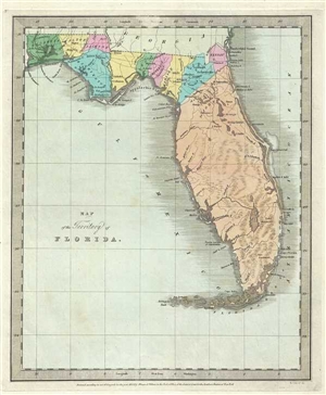
Map of the Territory of Florida.
sold
- Digital Map Information
- Suitable for large format printing
- DPI: 300
- File Size: 5.48 MB
- File Type: ZIP / TIFF
- ICC color profile embedded
- Delivered instantly via download link
This is an unusual 1834 first edition map of Florida issued by David H. Burr. It depicts territorial Florida just a few years after the region was annexed by ... (more details)
Map of the Russian Empire across Asia and Europe.
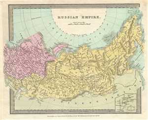
Russian Empire.
sold
- Digital Map Information
- Suitable for large format printing
- DPI: 300
- File Size: 5.62 MB
- File Type: ZIP / TIFF
- ICC color profile embedded
- Delivered instantly via download link
This is a beautiful 1834 first edition map of the Russian Empire issued by David H. Burr. It covers the Empire in its entirety, both in Asia and in Europe. ... (more details)
First edition of Burr's map of the West Indies.
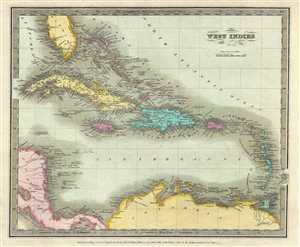
West Indies.
sold
- Digital Map Information
- Suitable for large format printing
- DPI: 300
- File Size: 5.32 MB
- File Type: ZIP / TIFF
- ICC color profile embedded
- Delivered instantly via download link
This is a detailed first edition map of the West Indies issued by David H. Burr. Centered on the island of Hispaniola (Santo Domingo), it covers the ... (more details)
Early map of Virginia before it was divided.
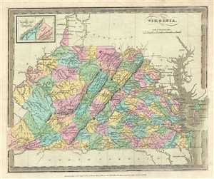
Virginia.
sold
- Digital Map Information
- Suitable for large format printing
- DPI: 300
- File Size: 6.15 MB
- File Type: ZIP / TIFF
- ICC color profile embedded
- Delivered instantly via download link
This is a nice example of David H. Burr’s 1834 first edition map of Virginia. It covers all of what is today Virginia and West Virginia as well as ... (more details)
19th century hand colored map of Arkansas.
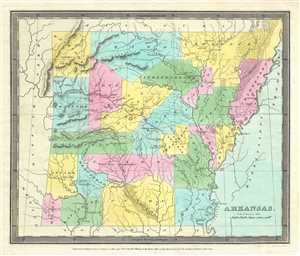
Arkansas.
sold
- Digital Map Information
- Suitable for large format printing
- DPI: 300
- File Size: 4.85 MB
- File Type: ZIP / TIFF
- ICC color profile embedded
- Delivered instantly via download link
A beautifully 1835 first edition map of Arkansas issued by David H. Burr depicts the state with color-coding at a county level. Political ... (more details)
Map of Asia in the early 19th century under imperial European sway.
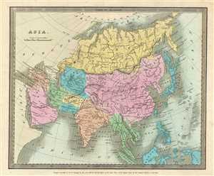
Asia.
sold
- Digital Map Information
- Suitable for large format printing
- DPI: 300
- File Size: 5.48 MB
- File Type: ZIP / TIFF
- ICC color profile embedded
- Delivered instantly via download link
This lovely 1835 first edition map of Asia was issued by David H. Burr. The map covers the entire Asian continent from the Arctic Ocean to ... (more details)
Vivid Map of China just prior to the Opium Wars.
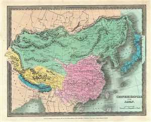
Chinese Empire and Japan.
sold
- Digital Map Information
- Suitable for large format printing
- DPI: 300
- File Size: 6.49 MB
- File Type: ZIP / TIFF
- ICC color profile embedded
- Delivered instantly via download link
This is a beautiful 1835 first edition map of China and Japan by David H. Burr. It covers China from Little Tibet to include all of ... (more details)
Striking map of Greece.
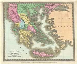
Greece.
sold
- Digital Map Information
- Suitable for large format printing
- DPI: 300
- File Size: 5.33 MB
- File Type: ZIP / TIFF
- ICC color profile embedded
- Delivered instantly via download link
This is David H. Burr’s 1835 first edition map of Greece. It covers from the Sea of Marmora south to include Candia or Crete. ... (more details)
Map of India under the British East India Company.
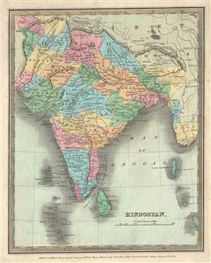
Hindostan.
sold
- Digital Map Information
- Suitable for large format printing
- DPI: 300
- File Size: 5.31 MB
- File Type: ZIP / TIFF
- ICC color profile embedded
- Delivered instantly via download link
This is an early first edition map of India or Hindostan by David H. Burr dating to 1835. It covers the subcontinent from ... (more details)
Map of Maine showing early county configurations.
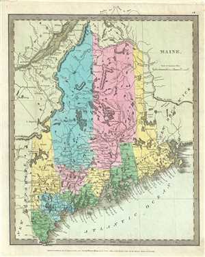
Maine.
sold
- Digital Map Information
- Suitable for large format printing
- DPI: 300
- File Size: 5.74 MB
- File Type: ZIP / TIFF
- ICC color profile embedded
- Delivered instantly via download link
This is an appealing first edition map of Maine by David H. Burr issued in 1835. It covers the state of Maine in superb ... (more details)
Important early map illustrating First Nations lands and featuring a distended Lake Michigan.
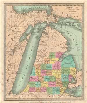
Michigan Drawn & Published by David H. Burr.
sold
- Digital Map Information
- Suitable for large format printing
- Full resolution TIFF file
- ICC color profile embedded
- Delivered instantly via download link
A very attractive and rare 1835 first edition example of Burr's map of Michigan, including Lake Michigan in full. ... (more details)
Depicts Chickasaw and Choctaw Territory just following to Trail of Tears.
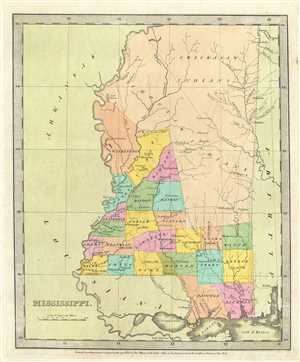
Mississippi.
sold
- Digital Map Information
- Suitable for large format printing
- DPI: 300
- File Size: 4.47 MB
- File Type: ZIP / TIFF
- ICC color profile embedded
- Delivered instantly via download link
This is an important 1835 first edition map of Mississippi by David H. Burr. It depicts the state in detail noting ... (more details)
Burr's representation of the state of New Jersey.
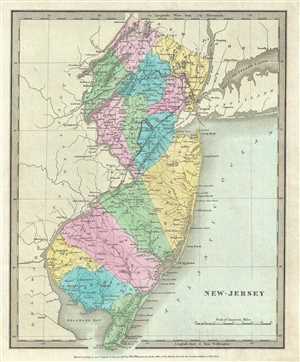
New Jersey.
sold
- Digital Map Information
- Suitable for large format printing
- DPI: 300
- File Size: 4.7 MB
- File Type: ZIP / TIFF
- ICC color profile embedded
- Delivered instantly via download link
This is an attractive 1835 first edition map of New Jersey by David H. Burr. It depicts the state of New Jersey ... (more details)
Beautiful map representing Prussia during the early 19th century.
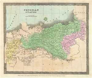
Prussian States.
sold
- Digital Map Information
- Suitable for large format printing
- DPI: 300
- File Size: 4.62 MB
- File Type: ZIP / TIFF
- ICC color profile embedded
- Delivered instantly via download link
This is a beautiful 1835 first edition map of Prussia by David H. Burr. Covering parts of the modern day nations ... (more details)
Burr's first edition map depicting the Balkans.
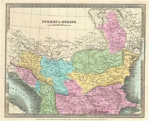
Turkey in Europe.
sold
- Digital Map Information
- Suitable for large format printing
- DPI: 300
- File Size: 5.17 MB
- File Type: ZIP / TIFF
- ICC color profile embedded
- Delivered instantly via download link
A first edition map depicting the Balkans and part of Greece issued in 1835 by David H. Burr. It extends ... (more details)
Beautiful map of the southern hemisphere.
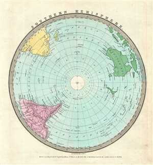
Southern Hemisphere.
sold
- Digital Map Information
- Suitable for large format printing
- DPI: 300
- File Size: 4.34 MB
- File Type: ZIP / TIFF
- ICC color profile embedded
- Delivered instantly via download link
This is a first edition 1835 map of the Southern Hemisphere by David Burr. It depicts the world as seen ... (more details)
Beautiful map of Upper Canada.
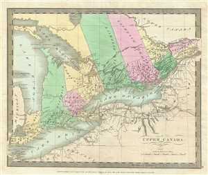
Upper Canada.
sold
- Digital Map Information
- Suitable for large format printing
- DPI: 300
- File Size: 4.78 MB
- File Type: ZIP / TIFF
- ICC color profile embedded
- Delivered instantly via download link
This is an attractive 1835 first edition map of Upper Canada or Ontario by David H. Burr. Centered on ... (more details)
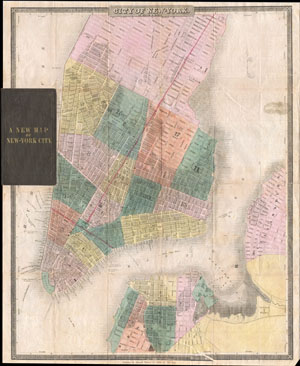
Map of New-York
sold
- Digital Map Information
- Suitable for large format printing
- DPI: 300
- File Size: 8.23 MB
- File Type: ZIP / TIFF
- ICC color profile embedded
- Delivered instantly via download link
This is the c. 1834-1836 edition of David H. Burr and Edward Walker's important pocket map of the City ... (more details)
The only published map to exhibit the Jedediah Smith's seminal explorations in the American west.
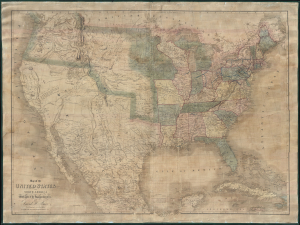
Map of the United States Of North America With parts of the Adjacent Countries.
sold
- Digital Map Information
- Suitable for large format printing
- DPI: 300
- File Size: 81.27 MB
- File Type: ZIP / TIFF
- ICC color profile embedded
- Delivered instantly via download link
This is David H. Burr's unobtainable 1839 wall map of the United States. Burr's map is significant as the only published example of Jedediah Smith's cartography, considered by C. I. Wheat a 'tour-de-force unprecedented and never equaled in the annals of Western exploration.' Smith's 'mountain man' cartography filled a gap in the mapping of the Transmississippi West - after Lewis and Clark (1804 - 06) but before the government-funded expeditions of Fremont (1840). (more details)
A definitive early map of the Hopi (Moqui) pueblos in New Mexcio and Arizona.
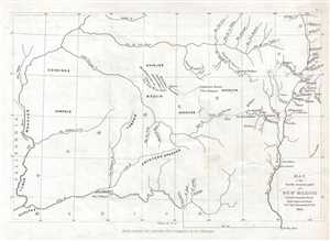
Map of the South western part of New Mexico.
sold
- Digital Map Information
- Suitable for large format printing
- DPI: 300
- File Size: 1.28 MB
- File Type: ZIP / TIFF
- ICC color profile embedded
- Delivered instantly via download link
This is an 1853 Seth Eastman map of New Mexico and Arizona focusing on the seven Moqui or Hopi ... (more details)