
NEW ACQUISITIONS
French refugees in Guantánamo following the Haitian Revolutions.
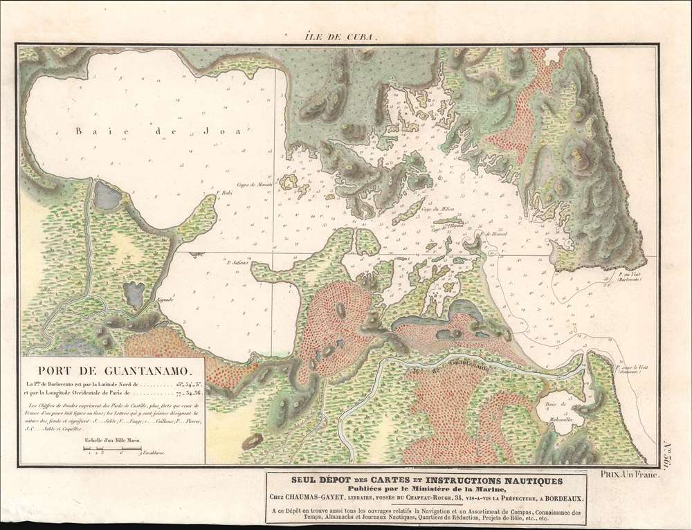
Île de Cuba. Port de Guantánamo.
$750.00
Acquire
- Digital Map Information
- Suitable for large format printing
- Full resolution TIFF file
- ICC color profile embedded
- Delivered instantly via download link
This is a c. 1830 French map of Guantánamo Bay, Cuba, published by the French Ministry of the Navy. Depth soundings are noted in Guantánamo Bay as well as in the nearly Guantánamo River, suggesting that the river was then navigable. Inland topography details the nearby landscape, but there is notably no trace of human habitation anywhere on the map. A pastedown at bottom center advertises Chez Chaumas-Gayet, a book, map, and chart seller in Bordeaux, France, active in the early to mid-19th century. (more details)
Anticipating the Allied invasion of Normandy.
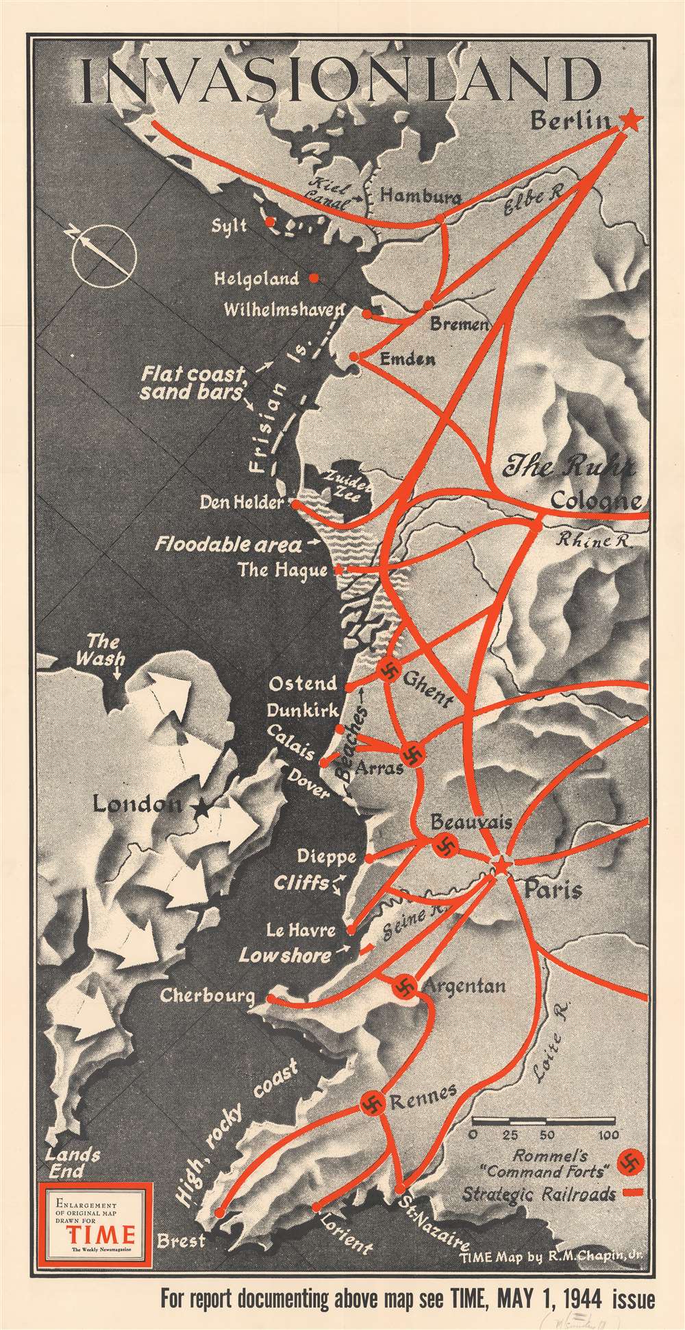
Invasionland.
$550.00
Acquire
- Digital Map Information
- Suitable for large format printing
- File Size: 68.61 MB
- File Type: ZIP / TIFF
- ICC color profile embedded
- Delivered instantly via download link
Perhaps the worst best-kept secret of World War II, by the spring of 1944 everyone was anticipating the Allied invasion of Northern Europe. This map, created by Robert M. Chapin, Jr., encapsulates that anticipation, speculating where American and British forces would land. Here, numerous locations along the coast are identified, including Calais (which was believed to be the most likely location for the invasion), Dunkirk (the site of the storied evacuation of British and French troops), Cherbourg, Brest, and even Wilhelmshaven, the German submarine base. The thick red lines indicate major railways, where it would be easiest for the Germans to quickly relocate forces in response to an invasion. The swastikas inscribed in red circles mark 'command forts' constructed by Rommel to help repel the expected invasion. (more details)
Lee's retreat from Richmond.
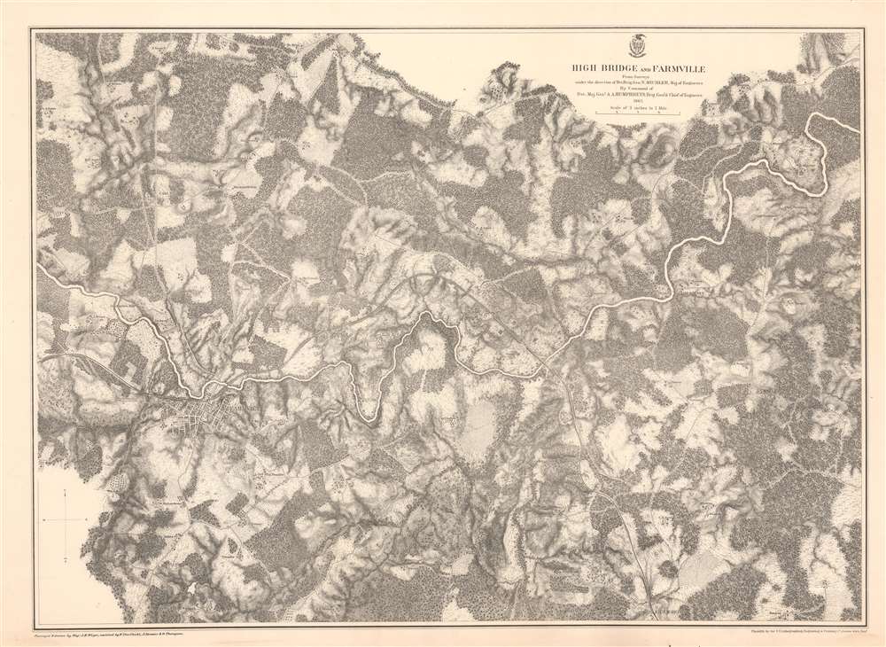
High Bridge and Farmville.
$375.00
Acquire
- Digital Map Information
- Suitable for large format printing
- File Size: 62.46 MB
- File Type: ZIP / TIFF
- ICC color profile embedded
- Delivered instantly via download link
This is an 1867 John Weyss and Nathaniel Michler map of the Battle of High Bridge, Virginia (1865) - a late American Civil War (1861- 1865) engagement of the Appomattox Campaign. The map depicts the region from the farmstead of A. Adams to the Parkinson homestead and from the home of H. Burt to Rice's Depot. Numerous other homesteads, farmsteads, churches, and mills are identified, along with Farmville and Jamestown on the Appomattox River, and Rice's Depot. The map highlights roads in the region, including the important Agola Road. (more details)
Soviet interest in the Philippines.
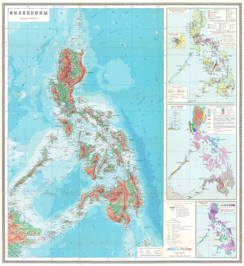
ФИЛИППИНЫ. / Philippines.
$850.00
Acquire
This is a 1973 Soviet Department of Geodesy and Cartography map of the Philippines. Depicting the entire archipelago and the surrounding ocean, terrain is illustrated with color-coding. Roads and railroads are illustrated and the purple lines demarcate provinces, each of which is numerically identified and corresponds with a table situated in the lower right corner next to the legend. (more details)
Wonderful early highway map of California.
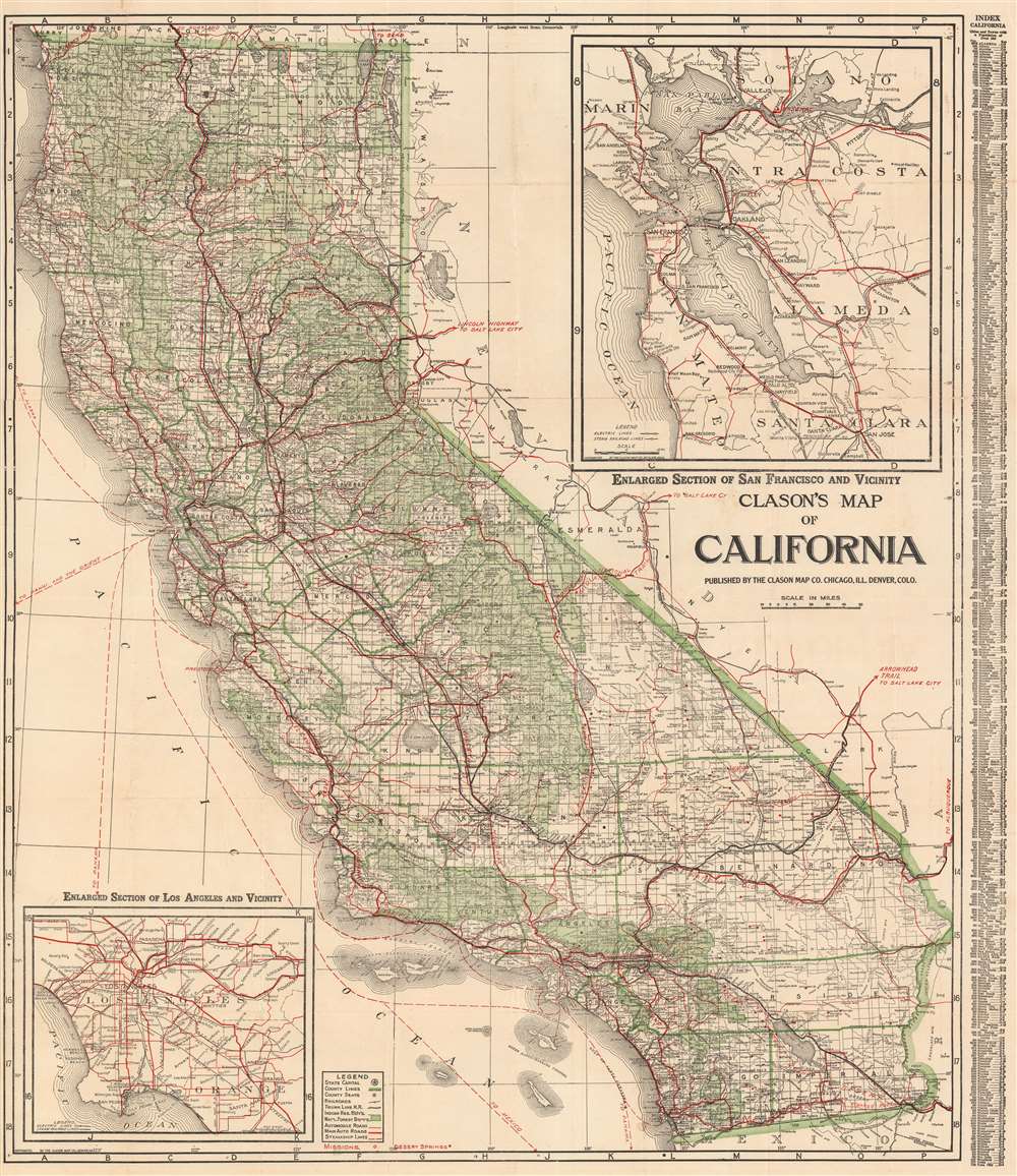
Clason's Map of California.
$350.00
Acquire
- Digital Map Information
- Suitable for large format printing
- File Size: 57.92 MB
- File Type: ZIP / TIFF
- ICC color profile embedded
- Delivered instantly via download link
This is a large and highly detailed c. 1920 Clason Map Company pocket format map of California. This map depicts the entire state of California with green highlighting to distinguish county borders and national forest lands. Inset submaps in the upper right and lower left quadrants focus on the San Francisco Bay area and the vicinity of Los Angeles, respectively. An index set along the map's left-hand border offers population statistics and a key to various cities throughout the state. (more details)
The infamous siege of Sebastapol.
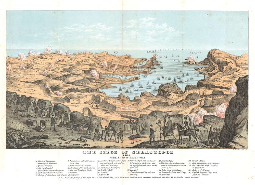
The Siege of Sebastopol. 1855.
$350.00
Acquire
- Digital Map Information
- Suitable for large format printing
- File Size: 12.01 MB
- File Type: ZIP / TIFF
- ICC color profile embedded
- Delivered instantly via download link
This is an 1855 Henry Bill view of the siege of Sevastopol (Sebastopol) during the Crimean War. Overlooking the city from the east. The defensive walls are apparent, along with the siege works constructed by French, British, Sardinian, and Ottoman armies (the Allies). Allied troops appear in the foreground lobbing artillery shells at the besieged Russians. The Russians, from the walls, return the fire. Russia's Black Sea Fleet engages the allied navies in the bay. Two wounded soldiers spill blood in the foreground. Thirty-four locations, including several forts, batteries, a signal station, a hospital, and magazine, are numerically identified and correspond with an index included below the view. (more details)
Portland and Kennebunkport.
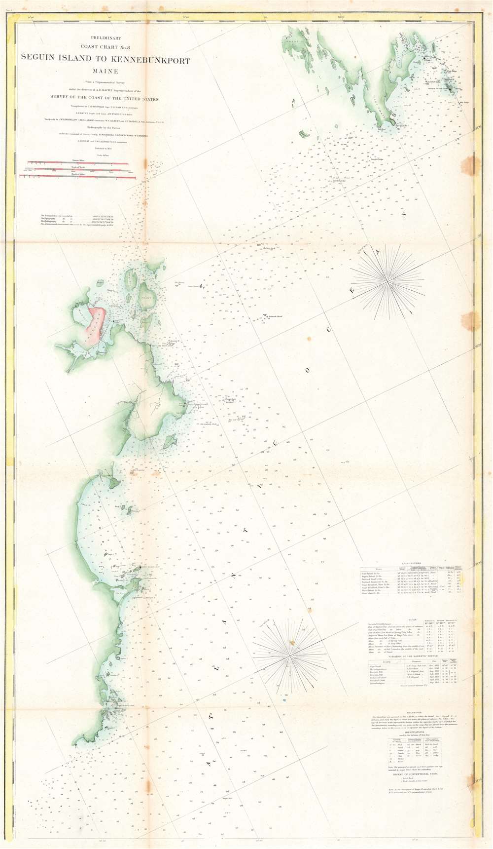
Preliminary Coast Chart No. 8 Seguin Island to Kennebunkport, Maine.
$100.00
Acquire
- Digital Map Information
- Suitable for large format printing
- File Size: 25.77 MB
- File Type: ZIP / TIFF
- ICC color profile embedded
- Delivered instantly via download link
This is an 1859 U.S. Coast Survey nautical chart or map of the southern coast of Maine. Depicting portions of coastal Maine from the mouth of the Kennebec River and Seguin Island to Goat Island and Kennebunkport (although Kennebunkport is unlabeled), innumerable depth soundings are recorded here in aid of navigation. Coastal islands abound and are nearly all identified, along with many lighthouses, such as the Goat Island Light, the Wood Island Light, the Cape Elizabeth Light, the Seguin Island Light, the Pond Island Light, and the Breakwater Light near Portland. Coves, points, and bays along the coastline are also identified. Tables detailing the region's lighthouses, tides, and magnetic variations are included along the right border, along with notes concerning the depth soundings and abbreviations employed on the map. (more details)
One of the most realistic Niagara Falls views of the 19th century.
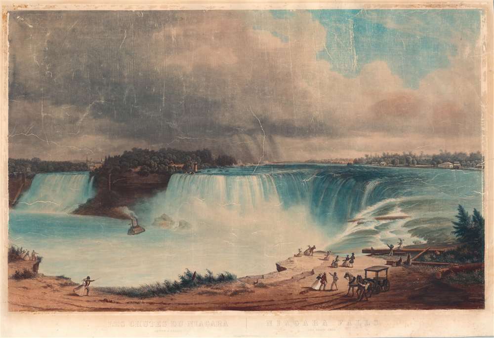
Les Chutes du Niagara. Fer a Cheval / Niagara Falls. The Horseshoe.
$2,000.00
Acquire
- Digital Map Information
- Suitable for large format printing
- Full resolution TIFF file
- ICC color profile embedded
- Delivered instantly via download link
A scarce 1852 hand colored aquatint view of Horeshoe Fall or Canadian Falls, part of Niagara Falls based upon a painting by Hippolyte Victor Valentin Sébron and engraved by Friedrich Salathé. This is considered among the most realistic mid-19th century views of Niagara Falls. Sébron visited the Niagara Falls in 1850, when the original paintings were completed. (more details)
One of the most realistic Niagara Falls views of the 19th century.
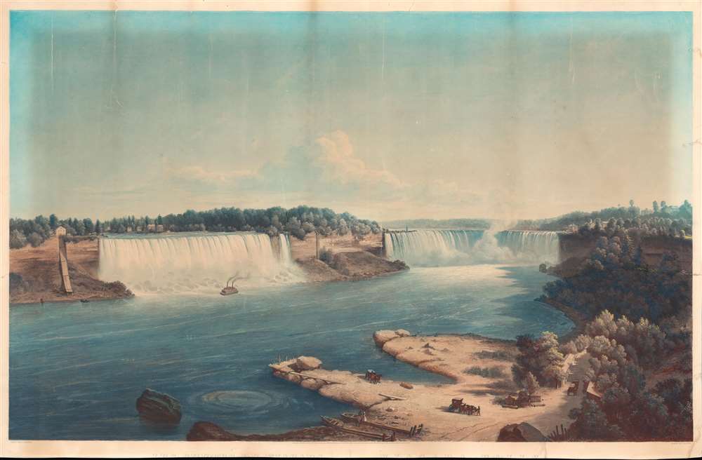
Les Chutes du Niagara, Vue Generale; Niagara Falls, General View.
$2,000.00
Acquire
- Digital Map Information
- Suitable for large format printing
- Full resolution TIFF file
- ICC color profile embedded
- Delivered instantly via download link
A scarce 1852 hand colored aquatint view of Niagara Falls based upon a painting by Hippolyte Victor Valentin Sébron and engraved by Friedrich Salathé. This view is considered among the most realistic mid-19th century illustrations of Niagara Falls. Sébron visited in 1850, when the original paintings were compleated. (more details)
Muller's important map postulating a large peninsula in the North Atlantic.
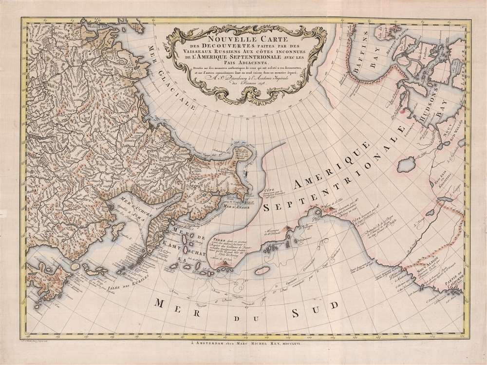
Nouvelle Carte des decouvertes Faites Par Des Vaisseaux Russiens Aux Côtes Inconnues de L'Amerique Septentrionale Avec Les Pais Adiacents.
$1,900.00
Acquire
- Digital Map Information
- Suitable for large format printing
- Full resolution TIFF file
- ICC color profile embedded
- Delivered instantly via download link
A beautiful example of Gerhard Friedrich Müller's important 1766 map of the Pacific Northwest, Alaska, the Bering Strait and Siberia, here in its rare Dutch second edition. Issued after the seminal explorations of Vitus Bering (1733 - 1743) on the Asia side of his namesake strait, but before the voyages of Captain James Cook similarly mapped the American side of the Bering Strait, this map is a smorgasbord of cartographic speculation – such as the exceptionally fine delineation of Friedrich Müller's Peninsula (Alaska / Aleutians). Centered on the Bering Strait, the map covers from Chinese Tartary to the Hudson Bay, and from the high Arctic, south as far as New Mexico, and Honshu (Japan). There is a striking contrast between the well explored Asiatic regions and the starkly bare and highly speculative mapping of America. (more details)
Spain and Portugal's railway networks in the mid-1950s.
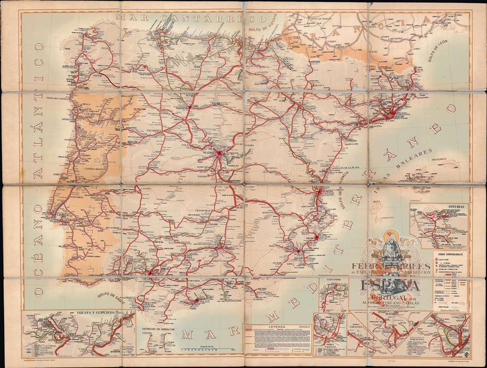
Mapa de los Ferrocarriles en Explotación Construcción y Proyecto en España y Portugal por Alfredo Forcano Catalán.
$950.00
Acquire
This is a striking 1956 Instituto Geográfico y Catastral map of Spain and Portugal and their national railroad networks. The Instituto Geográfico deftly employs color coding to differentiate between rail lines. The solid red lines, which dominate the map, illustrate the Spanish national railway network. Thin purple rail lines, which appear almost exclusively in the various insets situated around the border, are operated only by the Spanish government. Green and orange lines represent independent railroad companies. Importantly, wide gauge lines are illustrated by the wider lines, while the skinnier lines trace narrow gauge routes. Blank or white coding indicate railroads under construction. A key appears in the bottom right, with the leyendasignos conviencionales along the right border. (more details)
The military deportment of the United States at the outbreak of the Civil War.
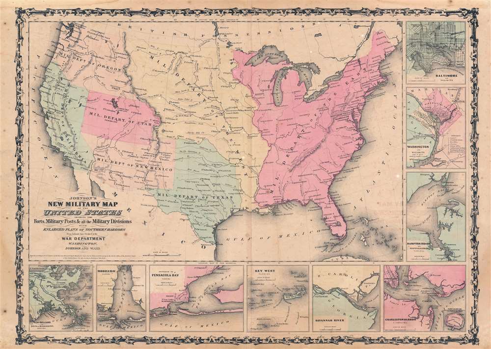
Johnson's New Military Map of the United States Showing the Forts, Military Posts, and all the Military Divisions with Enlarged Plans of Southern Harbors. From Authentic Data Obtained at the War Department.
$400.00
Acquire
- Digital Map Information
- Suitable for large format printing
- File Size: 25.26 MB
- File Type: ZIP / TIFF
- ICC color profile embedded
- Delivered instantly via download link
An exceptional example of A. J. Johnson's highly desirable 1862 Military Map of the United States. Created at the outbreak of the American Civil War, this map was issued by Johnson in order to capitalize on the general interest in the War. This is one the two significant variants. This variant, the earlier of the two, shows the U.S. Military Department as of 1861. It offers a wonderful insight into the political situation shortly following the outbreak of the American Civil War (1861 - 1865). (more details)
Traces German exploration in East Africa between 1838 and 1862.

Originalkarte von Nord-Abessinien und den Ländern am Mareb, Barka und Anseba. Tafel 3a. (Ausgabe mit Colorit Übersicht der Reiserouten.)
$350.00
Acquire
- Digital Map Information
- Suitable for large format printing
- File Size: 19.56 MB
- File Type: ZIP / TIFF
- ICC color profile embedded
- Delivered instantly via download link
This is an 1864 Augustus map of East Africa. Depicting the region from the Red Sea and Mitsiwa (Massua), Eritrea west to Sudan, the routes of nine explorers though this region are traced. Spanning nearly twenty years, from 1838 to 1862, hand color highlights each route in a different color, allowing for easy differentiation and identification. Two of Werner Munzinger's expeditions through the region are illustrated, making his exploits the most thoroughly cataloged here. (more details)
War in the Atlantic and Pacific.
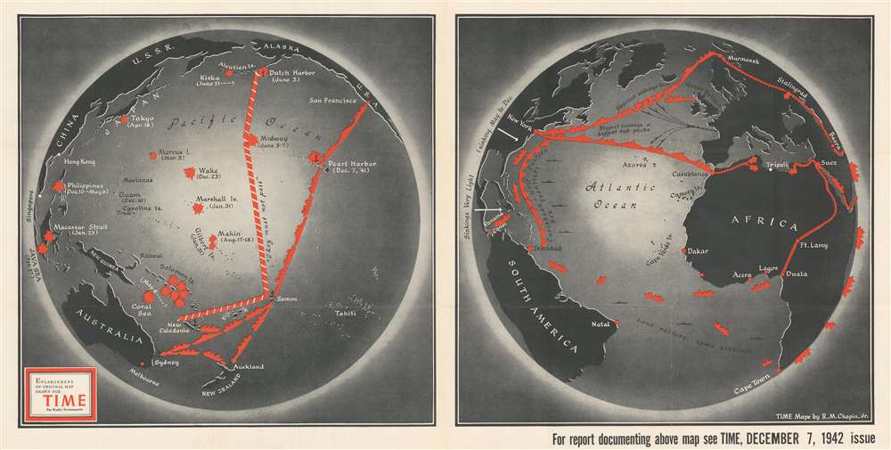
[In the Pacific. In the Atlantic.]
$400.00
Acquire
- Digital Map Information
- Suitable for large format printing
- File Size: 90.16 MB
- File Type: ZIP / TIFF
- ICC color profile embedded
- Delivered instantly via download link
This is a separately issued large-format 1942 Robert M. Chapin, Jr. map of the Pacific and Atlantic Oceans during World War II. Chapin presents the war situation in each of the world's major oceans from an American perspective for TIME Magazine's readers. Both maps emphasize wartime strategies, realities, and conditions specific to each ocean. (more details)
Landmark map of an Amazon tributary.
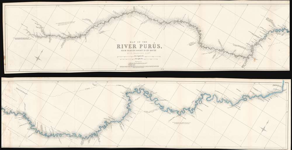
Map of the River Purûs, From Near its Source to its Mouth.
$300.00
Acquire
- Digital Map Information
- Suitable for large format printing
- File Size: 18.98 MB
- File Type: ZIP / TIFF
- ICC color profile embedded
- Delivered instantly via download link
This is landmark 1866 William Chandless map of the Purûs River in Brazil and Peri is he first accurate map of the river's 1,866-mile course. Chandless took measurements throughout his expedition, covering both the ascent and the descent of the river. He identifies tributaries, islands, and Indian villages, and includes a handful of comments concerning the river's depth and width. In the appendix to his article on the expedition, Chandless addresses the creation of the map:
This has been made from bearings and distances taken throughout the whole river, and from observations with sextant and artificial horizon (mercurial). Observations of latitude were taken at 79 points, and time observations for longitude by chronometer at about three-fourths of them. So far as was possible, time observations were repeated at the principal points on the down voyage, so as to be dependent on chronometer for a few days only.Even today the Purûs River basis is considered on of the most remote, biodiverse, and inaccessible parts of the Amazon Rainforest. In 2008, a previously unknown pre-Columbian civilization was discovered in the upper region of the river close to the Bolivian border. After much of the forest in the region was cleared for agricultural use, satellite pictures revealed the remains of large geometric earthworks. (more details)
Landmark exploration of a previously unmapped region of Africa.
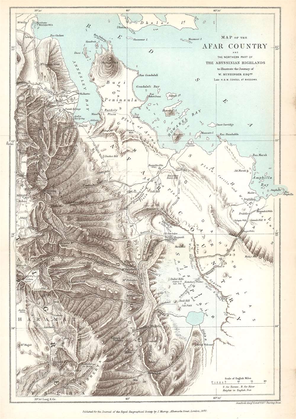
Map of the Afar Country and the Northern Part of the Abyssinian Highlands to illustrate the Journey of W. Munzinger Esqure. Late H.B.M. Consul at Massowa.
$200.00
Acquire
- Digital Map Information
- Suitable for large format printing
- File Size: 5.73 MB
- File Type: ZIP / TIFF
- ICC color profile embedded
- Delivered instantly via download link
This is an 1870 John Murray map of the Afar Country, comprising parts of modern-day Eritrea and Ethiopia. The map was created to accompany a The Journal of the Royal Geographical Society paper by Werner Munzinger. Dashed tracks follow Munzinger's groundbreaking exploration of the little known region. (more details)
Home of yellow wine (vin jaune) and comté cheese.
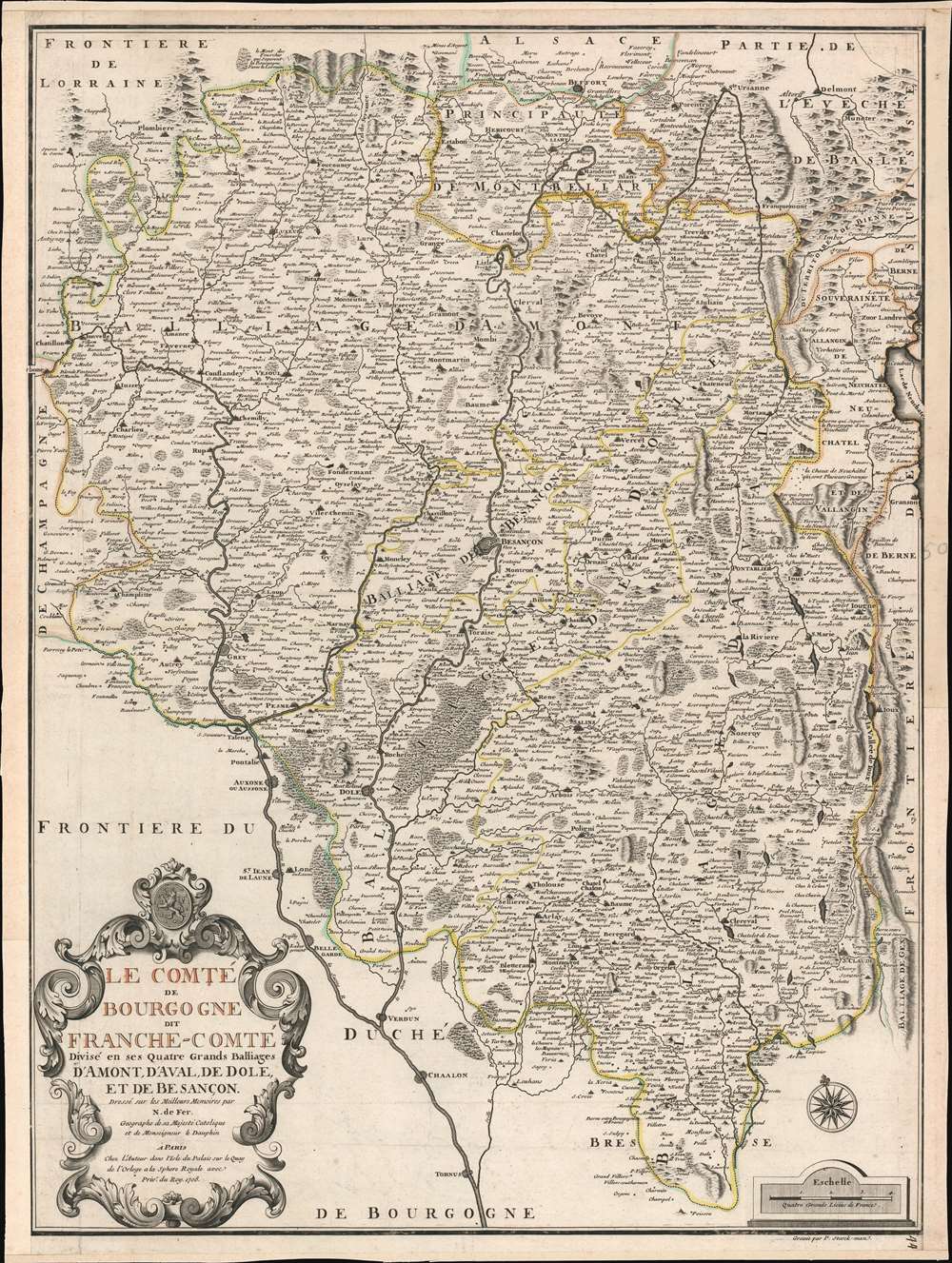
Le Comté de Bourgogne dit France-Comté Divisé en ses Quatres Grands Balliages d'Amont, d'Aval, de Dole, et de Besançon.
$500.00
Acquire
- Digital Map Information
- Suitable for large format printing
- Full resolution TIFF file
- ICC color profile embedded
- Delivered instantly via download link
This is a 1708 Nicholas de Fer map of Burgundy and Franche-Comté, France. Beautifully engraved, myriad cities, towns, and villages are labeled throughout the region, including Besançon, Dole, Vesoul, and Belfort. Mountains reference the region's incredible Jura Mountains and forests make clear the region's wooded nature. The Doubs, Saone, and Lougnon Rivers are illustrated and labeled as well. (more details)
One of the first scientific maps of northern Syria and southern Turkey.
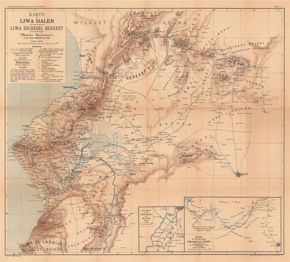
Karte des Liwa Haleb und eines Theiles des Liwa Dschebel Bereket nach den Reisewegen Martin Hartmann's in den Jahren 1882/1883 und 1884.
$450.00
Acquire
- Digital Map Information
- Suitable for large format printing
- File Size: 38.14 MB
- File Type: ZIP / TIFF
- ICC color profile embedded
- Delivered instantly via download link
This is an 1894 Hartmann map of the eastern part of the Vilayet of Aleppo (Haleb), former Ottoman Empire, which encompasses parts of modern-day Turkey and Syria. The map depicts from the southern extreme of the Vilayet of Adana south to Aleppo (now in Syria) and the border of the Vilayet of Beirut. Cities and towns are labeled throughout, including Iskenderun, Pajas, Aleppo (labeled here as Haleb), and Antakija. (As an aside, Iskenderun was known as Alexandretta from the Middle Ages until the Ottoman conquest of Syria and was made famous by Indiana Jones and the Last Crusade. Hartmann, in his article, refers to the city as Alexandrette.) Insets in the lower right corner focus on the city of Antakija and the route between Iskenderun and Aleppo, respectively. (more details)
A beautiful, original color example of this fine map of Eastern France's wine region.
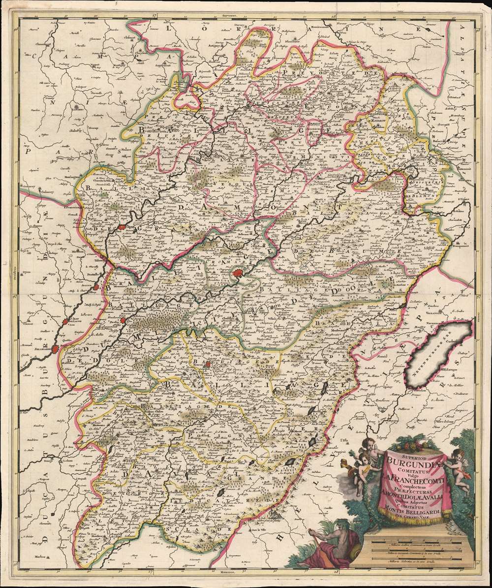
Superior Burgundiae comitatus; vulgo la Franche Comté complectens praefecturas Amontii, Dolae, Avalli quibus adjectus comitatus Montis Belligardi.
$350.00
Acquire
- Digital Map Information
- Suitable for large format printing
- Full resolution TIFF file
- ICC color profile embedded
- Delivered instantly via download link
This is a beautiful example of Gerard Valk's 1702 map of the upper Burgundy region of eastern France. The map is centered on the Saone and the Doubs river valleys, and on the city of Besançon. the region was the County of Burgundy until the region and the neighboring Duchy of Burgundy were abolished during the French Revolution. (more details)
An early effort to map the sea floor, focusing on the English Channel.
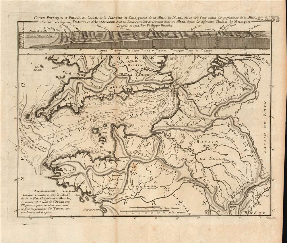
Carte physique et profil du canal de la Manche et d'une partie de la Mer du Nord...
$750.00
Acquire
- Digital Map Information
- Suitable for large format printing
- Full resolution TIFF file
- ICC color profile embedded
- Delivered instantly via download link
This is a beautiful, rare 1752 Philippe Buache map of the English Channel, showing the coast of France (from the mouth of the Loire to the Low Countries and the mouth of the Rhine) and the entire southern coast of England. The map includes depth soundings for the Channel, and is accompanied by a cross-section chart of the whole of the Channel comparing the 'supposed' depth of the Channel with its actual, measured depth. The map is notable for its early use of isobaths - lines showing depth contours of the ocean floor. Although not the first appearance of this technique (likely this was Luigi Ferdinando Marsigli's 1725 map of the Gulf of Lion), Buache's is among the first acquirable maps demonstrating the technique. (more details)