
Bien, Julius (sold)
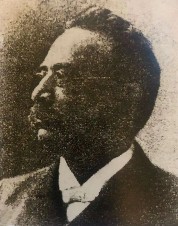
Julius (Julien) Bien (September 27, 1826 - December 21, 1909) was a German-Jewish lithographer and engraver based in New York City. Bien was born in Naumburg, Germany. He was educated at the Academy of Fine Arts, Cassell and at Städel's Institute, Frankfurt-am-Main. Following the suppression of the anti-autocratic German Revolutions of 1848, Bien, who participated in the pan-German movement, found himself out of favor in his home country and joined the mass German immigration to the United States. Bien can be found in New York as early as 1849. He established the New York Lithographing, Engraving & Printing Company in New York that focused on the emergent chromo-lithograph process - a method of printing color using lithographic plates. His work drew the attention of the U.S. Government Printing Office which contracted him to produce countless government maps and surveys, including the Pacific Railroad Surveys, the census, numerous coast surveys, and various maps relating to the American Civil War. Bien also issued several atlases both privately and in conjunction with a relation, Joseph Bien. At the height of his career Bien was elected president of the American Lithographers Association. After his death in 1909, Bien's firm was taken over by his son who promptly ran it into insolvency. The firm was sold to Sheldon Franklin, who, as part of the deal, retained the right to publish under the Julius Bien imprint. In addition to his work as a printer, Bien was active in the New York German Jewish community. He was director of the New York Hebrew Technical Institute, the New York Hebrew Orphan Asylum, and president of the B'nai B'rith Order.
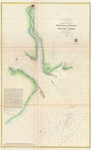
(E No. 5) Reconnaissance of Port Royal Entrance and Beaufort Harbor South Carolina.
sold
- Digital Map Information
- Suitable for large format printing
- File Size: 13.11 MB
- File Type: ZIP / TIFF
- ICC color profile embedded
- Delivered instantly via download link
An uncommon U.S. Coast Survey nautical chart or maritime map of the entrance to Port Royal and Beaufort Harbor, South Carolina. The map covers from the city of Beaufort, top center, along the Beaufort River, to the Broad River and eventually to the Atlantic. ... (more details)
The culmination of the U.S. Coast Survey's work around San Francisco.
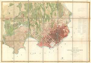
City of San Francisco and its Vicinity California.
sold
- Digital Map Information
- Suitable for large format printing
- File Size: 46.58 MB
- File Type: ZIP / TIFF
- ICC color profile embedded
- Delivered instantly via download link
A rare separate issue 1859 coastal chart and map of San Francisco, California by Augustus F. Rodgers of the U. S. Coast Survey. Oriented to the west, this map depicts the immediate city of San Francisco and surrounding areas as far as the Mission de Dolores and Rancho San Miguel. The chart was issued about ten years following the population explosion brought on by the 1849 California Gold Rush. It depicts the city extending only about eleven city blocks from the waterfront. Piers, wharfs, parks and roads as well as important individual buildings such as the City Hall, the Post Office, hospitals, and churches, are all labeled. Text recording data on public buildings, reservoirs, sailing notes, shoals, and tidal notations are included on the top left and lower right corners of the map. Depth soundings throughout. (more details)
The first map to detail Spanish-Mexican land grants in California.
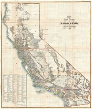
Map of Public Surveys in California and Nevada to accompany Report of Sureyor Genl. 1863.
sold
- Digital Map Information
- Suitable for large format printing
- File Size: 35.86 MB
- File Type: ZIP / TIFF
- ICC color profile embedded
- Delivered instantly via download link
An attractive and uncommon map of California and parts of Nevada issued by the Surveyor General in 1863. The map covers all of California as well as the western parts of Nevada near Lake Tahoe and Carson City. Remarkably, a list of 438 'Private Grants ... (more details)
A highly polished map' - Wheat
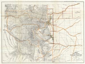
Map of Public Surveys in Colorado Territory to accompany a report of the Surveyor Gen.
sold
- Digital Map Information
- Suitable for large format printing
- File Size: 11.7 MB
- File Type: ZIP / TIFF
- ICC color profile embedded
- Delivered instantly via download link
This is a beautiful 1863 public survey map of Colorado Territory. It covers the region from the Escalante Mountains to Julesburg and includes survey work, with the progress of the land survey noted via a series of blocks representing the survey grid. ... (more details)
The first map to show Kansas and Nebraska in full, including western parts.
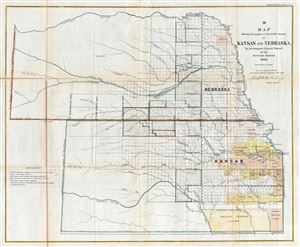
Map Showing the progress of the Public Surveys in Kansas and Nebraska.
sold
- Digital Map Information
- Suitable for large format printing
- File Size: 17.9 MB
- File Type: ZIP / TIFF
- ICC color profile embedded
- Delivered instantly via download link
This is an impressive example of the 1863 public survey map of Kansas and Nebraska by Mark W. Delahay, Surveyor General of Kansas and Nebraska. It covers the region from the Missouri Rivers to the western boundary of Nebraska and from the Neobrarah ... (more details)
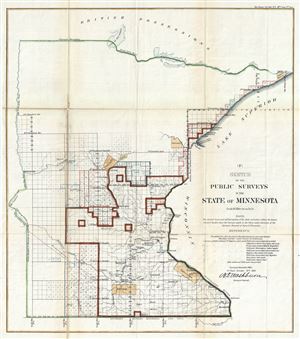
(F) Sketch of the Public Surveys in the State of Minnesota.
sold
- Digital Map Information
- Suitable for large format printing
- File Size: 10.16 MB
- File Type: ZIP / TIFF
- ICC color profile embedded
- Delivered instantly via download link
An attractive 1863 example of the 1863 public survey map of Minnesota by W. D. Washburn, Surveyor General. It covers the state of Minnesota from Brownsville to Rainy Lake. The state of the Land Survey, confined to the southern portions of the ... (more details)
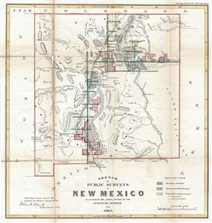
Sketch of Public Surveys in New Mexico to Accompany the Annual Report of the Surveyor General for 1863.
sold
- Digital Map Information
- Suitable for large format printing
- File Size: 8.28 MB
- File Type: ZIP / TIFF
- ICC color profile embedded
- Delivered instantly via download link
This is a beautiful 1863 public survey map of New Mexico. Centered on the Rio Grande, it covers the region entire state of New Mexico from Emory's Spring, north as far as Raton Mountains and from Washington Pass to the state boundary of Texas. ... (more details)
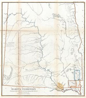
Dakota Territory Showing progress of U.S. Land Survey during 1861, 62 and 63.
sold
- Digital Map Information
- Suitable for large format printing
- File Size: 20.35 MB
- File Type: ZIP / TIFF
- ICC color profile embedded
- Delivered instantly via download link
This is a fine 1863 public survey map of North Dakota and South Dakota (Dakota Territory). It covers the states of North Dakota and South Dakota before they were admitted to the Union. The map was prepared to illustrate the progress of the ... (more details)
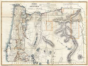
A Diagram of Public Surveys in Oregon.
sold
- Digital Map Information
- Suitable for large format printing
- File Size: 16.79 MB
- File Type: ZIP / TIFF
- ICC color profile embedded
- Delivered instantly via download link
This is a fine 1863 public survey map of Oregon. It covers the region from the Pacific Ocean to Boise and from the Columbia River to the California state boundary. The map was prepared to illustrate the progress of the land survey work in ... (more details)
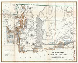
Map of Public Surveys Washington Territory to accompany Report of Surv: Genl: 1863.
sold
- Digital Map Information
- Suitable for large format printing
- File Size: 9.83 MB
- File Type: ZIP / TIFF
- ICC color profile embedded
- Delivered instantly via download link
This is an attractive example of the 1863 public survey map of part of the Washington Territory prepared by Anson G. Henry, Surveyor General of Washington Territory. It covers the region from the Pacific Ocean to Idaho. It includes ... (more details)
The best Civil War era map of Atlanta, Georgia.
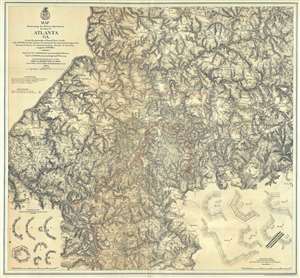
Map Illustrating the Military Operations in Front of Atlanta, Ga. From the Passage of Peach Tree Creek, July 19th 1864, to the Commencement of the Movement upon the Enemy's Lines of Communication, South of Atlanta, August 26th 1864 .
sold
- Digital Map Information
- Suitable for large format printing
- File Size: 43.56 MB
- File Type: ZIP / TIFF
- ICC color profile embedded
- Delivered instantly via download link
This is a rare separate-issue 1874 map of Atlanta, Georgia, and the area roughly five miles around. The large format map was issued by the War Department in 1874, but depicts Atlanta from surviving war records as it appeared shortly ... (more details)
Scarce, Superbly Detailed Map of the Northwestern Territories and States: First Detailed Map Naming the Wyoming Terrirory
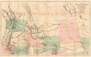
General Map of the North Pacific States and Territories Belonging to the United States and of British Columbia, Extending from Lake Superior to the Pacific Ocean and Between Latitude 39 degrees and 53 degrees North. Exhibiting Mail Routes, Gold Mines, and Including the Most Recent Surveys of the Topographical Bureau. Prepared by Captain John Mullan. ... Drawn by Edward Freyhold, T.E. Lithographed by J. Bien, 24 Vesey, St. N.Y.
sold
- Digital Map Information
- Suitable for large format printing
- File Size: 44.63 MB
- File Type: ZIP / TIFF
- ICC color profile embedded
- Delivered instantly via download link
This the 1865 Mullan - Freyhold map of the American Northwest. It shows the territories of Washington, Idaho, Montana, Wyoming, Dakota and Nebraska, and the State of Oregon in completion, and portions of California, Minnesota, Iowa, Kansas, Colorado, Utah and Nevada. The lithographed map - with hand wash color to distinguish the territories from one another - is beautifully executed and detailed. Carl Wheat esteemed this 'very fine' map so well that he chose it for the frontispiece of the fifth volume of Mapping the Transmississippi West. In discussing Freyhold, in particular, Wheat rhapsodizes:
Edwin (sic) Freyhold, who seems to have been responsible for the actual drawing of the topography, was an unrivaled expert in this type of work. His penned originals are almost unbelievably delicate, and must be examined with a powerful magnifying glass to be appreciated.Indeed, the map's details are superbly drafted and lithographed, with clear, legible typography and beautifully hachured mountains. The map, and the guide accompanying it, was intended to aid and encourage hopeful emigrants to the new territories of the northwest, particularly prospectors. The map relies heavily on data arising from Mullan's tenure as superintendent of construction for the northern military wagon road running from Walla Walla to Fort Benton on the upper Milk River, and indeed Wheat specifically praises the detail of its trails: Mullan's road is shown in its several variants, including Mullan' proposed (and rejected) route to Walla-Walla via Fort Laramie. Another route following the Yellowstone River west and crossing the mountains via Beaver Head Valley is indicated to the south of the Mullan road. Well-established U.S. Mail routes are shown in the southern part of the map. (more details)
Unusual fisheye view of New York with early Baseball imagery in the Elysian Fields.
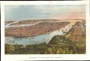
Panorama of New York and Vicinity.
sold
- Digital Map Information
- Suitable for large format printing
- File Size: 74.95 MB
- File Type: ZIP / TIFF
- ICC color profile embedded
- Delivered instantly via download link
A rich and striking large-format 1866 John Bachmann panoramic three-color chromolithograph view of New York City as seen from a point high over the Elysian Fields (baseball) of Hoboken. The view is expansive and utilizes an unusual fish-eye perspective. It looks on Manhattan from the west, with the area of focus roughly corresponding to 32nd Street. Coverage extends north to Central Park, south to Sandy Hook, and east to include parts of Brooklyn and Queens. Manhattan's major parks are recognizable, including Madison Square, Gramercy, Washington Square, City Hall, and the still under construction Central Park. Vast swathes of lotted but undeveloped land are evident along Park Avenue north of Bryant Park. Along the Hudson, there are also a number of large gentlemanly estates - survivors of a bygone era that would soon disappear entirely. The Hudson River is busy with an assortment of sail and steamships. On the right side of the map, Hoboken and beyond, Jersey City, are evident. In the foreground there is a prominent display of the Elysian Fields, where two different baseball games are in progress. (more details)
One of the most important assets to the Union Army.
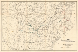
Map of United States Military Rail Roads, Showing the Rail Roads operated during the War from 1862-1866 as Military Lines, Under the Direction of Bvt. Brig. Gen. D.C. McCallum Director and General Manager.
sold
- Digital Map Information
- Suitable for large format printing
- File Size: 37.33 MB
- File Type: ZIP / TIFF
- ICC color profile embedded
- Delivered instantly via download link
This is an 1866 Julius Bien map of Union Army military railroads during the American Civil War (1861 - 1865). The map illustrates both the eastern and western theaters of war, highlighting railroads operated by the Union Army. Railroads proved critically important to both sides during the war, and many major battles were fought at railroad junctions or along rail lines. (more details)
Early view of Denver Colorado by Alfred Edward Mathews.
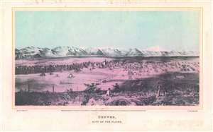
Denver, City of the Plains.
sold
- Digital Map Information
- Suitable for large format printing
- File Size: 14.28 MB
- File Type: ZIP / TIFF
- ICC color profile embedded
- Delivered instantly via download link
This is an important Alfred Edward Mathews 1866 bird's-eye view of Denver, Colorado. The view includes the then separate towns of Auraria and Denver as seen from a hill about one mile east of the South Platte River looking west towards modern-day downtown. Although the South Platte itself is not obvious, we can recognize it from the narrow band of development on both sides of the river. The tall building at center is probably the Methodist Church constructed in 1864 at 14th Street and Lawrence. A road extends from the foreground into the center of the city and is consistent with modern day 15th or 16th Street. Shooting an arrow along this road into the background leads, some 60 miles distant, directly to Longs Peak. Pikes Peak may be on the far left, but we are not 100% confident in our identification. The bluff in the foreground from which the view was drawn, is most likely somewhere in the vicinity of the modern-day capital. (more details)
First edition! First map of Florida printed in Florida.
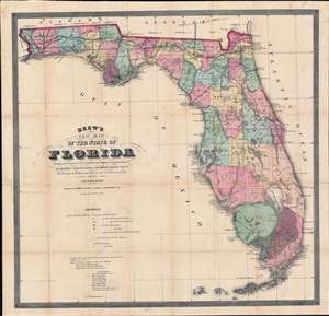
Drew's New Map of the State of Florida Showing the Progress of the U.S. Surveys, the Completed and Projected Railroads, the Different Railroad Stations and Growing Railroad Towns, the New Towns on the Rivers and Interior, and the New Counties up to the Year 1867.
sold
- Digital Map Information
- Suitable for large format printing
- File Size: 38.92 MB
- File Type: ZIP / TIFF
- ICC color profile embedded
- Delivered instantly via download link
The holy grail of 19th century Florida cartography, this is the exceedingly rare 1867 first edition of Columbus Drew's large-scale pocket map of Florida. Printed in Jacksonville, Drew's is the first map of Florida actually printed in Florida. Moreover, this is the first large format map of Florida published after the American Civil War (1861 - 1865) and captures the state at the beginning of Reconstruction (1865 - 1877). (more details)
Early Land Office map showing important gold and silver deposits.
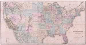
Map of the United States and Territories, Showing the extend of Public Surveys and other details.
sold
- Digital Map Information
- Suitable for large format printing
- Full resolution TIFF file
- ICC color profile embedded
- Delivered instantly via download link
This is an extremely interesting 1867 U.S. Land Office map of United States. It covers the entire country on a rectangular projection, illustrating the extant of the land surveys as it worked its way westward. This map notes the ... (more details)
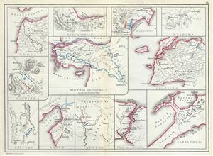
Troja. Thermopylae. Marathon. Plataea. Mantinea. Leuctra. Route of Xenophon and the Ten Thousand Greeks. Granicus. Issus. Arbela. Thracian Bosporus. Alexandria.
sold
- Digital Map Information
- Suitable for large format printing
- File Size: 3.64 MB
- File Type: ZIP / TIFF
- ICC color profile embedded
- Delivered instantly via download link
This is a fascinating 1867 map by William Hughes featuring topographical maps of ancient cities and battle sites. The map essentially contains twelve maps on a single sheet, each focusing on a different city or town, where ... (more details)
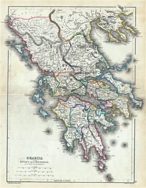
Graecia including Epirus and Thessalia with part of Macedonia.
sold
- Digital Map Information
- Suitable for large format printing
- File Size: 4.51 MB
- File Type: ZIP / TIFF
- ICC color profile embedded
- Delivered instantly via download link
This is a fine 1867 map of ancient Greece by William Hughes. The map focuses on Greece in antiquity, covering from Cythera to Thessaloniea in Macedonia. Ancient Epirus and Thessalia are also included. The map notes ... (more details)
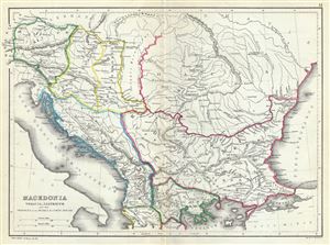
Macedonia Thracia, Illyricum and the Provinces on the Middle and Lower Danube.
sold
- Digital Map Information
- Suitable for large format printing
- File Size: 3.85 MB
- File Type: ZIP / TIFF
- ICC color profile embedded
- Delivered instantly via download link
This is an attractive 1867 map of Macedonia and the Balkans in antiquity by William Hughes. The map depicts Macedonia, Thrace, Illyricum and the provinces on the middle and lower Danube, covering parts of modern day ... (more details)
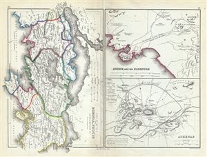
Part of Attica with Boeotia, Phocis Locris, Megaris etc.
sold
- Digital Map Information
- Suitable for large format printing
- File Size: 3.99 MB
- File Type: ZIP / TIFF
- ICC color profile embedded
- Delivered instantly via download link
This is a fascinating 1867 map of Athens along with parts of Attica, including Boeotia and Phocis in ancient Greece, by William Hughes. Essentially three maps on a single sheet, the first map covers Attica in ... (more details)
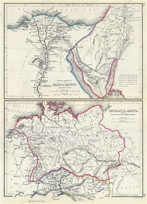
Arabia Petraea and Part of Egypt including the Delta. Germania Magna with the Provinces on the Upper Danube.
sold
- Digital Map Information
- Suitable for large format printing
- File Size: 3.63 MB
- File Type: ZIP / TIFF
- ICC color profile embedded
- Delivered instantly via download link
This is an unusual 1867 map by William Hughes featuring Egypt and Germany in antiquity. Essentially two maps on a single sheet, the top map focuses on Egypt, including the Sinai Peninsula. This map, centered ... (more details)
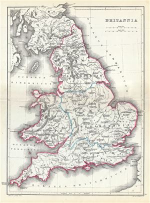
Britannia.
sold
- Digital Map Information
- Suitable for large format printing
- File Size: 3.86 MB
- File Type: ZIP / TIFF
- ICC color profile embedded
- Delivered instantly via download link
This is a scarce 1867 map of England by William Hughes. The map depicts England under Roman rule and covers all of England (Province of Britannia) as well as parts of Scotland. It features contemporary and ... (more details)
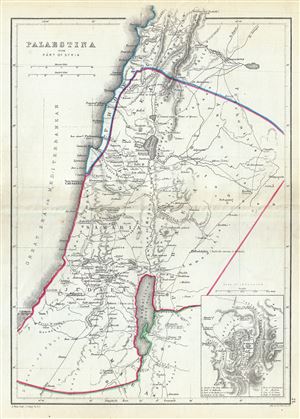
Palaestina with Part of Syria.
sold
- Digital Map Information
- Suitable for large format printing
- File Size: 3.57 MB
- File Type: ZIP / TIFF
- ICC color profile embedded
- Delivered instantly via download link
A scarce 1867 William Hughes Map of Palestine, Israel or the Holy Land in antiquity. Centered on the Jordan River, the map covers the regions between modern day Israel and Lebanon along with parts of Jordan ... (more details)
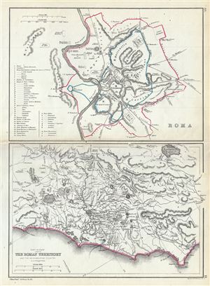
Roma. Part of Italy showing the Roman Territory and the neighbouring country.
sold
- Digital Map Information
- Suitable for large format printing
- File Size: 3.58 MB
- File Type: ZIP / TIFF
- ICC color profile embedded
- Delivered instantly via download link
This is a beautiful 1867 map by William Hughes depicting Rome and the Roman territory in Italy during ancient Roman times. Essentially two maps on a single sheet, the map on top depicts Rome during ancient ... (more details)
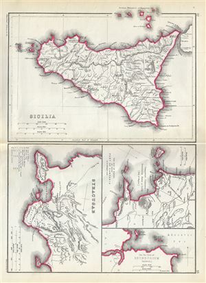
Sicilia. Syracusae. The Bay of Naples and adjacent Part of Campania. The Two Ports of Brundusium (Brindisi).
sold
- Digital Map Information
- Suitable for large format printing
- File Size: 3.68 MB
- File Type: ZIP / TIFF
- ICC color profile embedded
- Delivered instantly via download link
This is a beautiful 1867 map by William Hughes depicting Sicily, Syracuse and important ports in Italy during the Roman period. Essentially four maps on the single sheet, the largest map of Sicily depicts ... (more details)
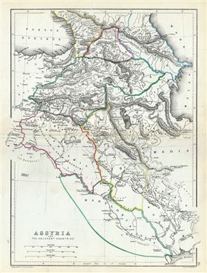
Assyria and the Adjacent Countries.
sold
- Digital Map Information
- Suitable for large format printing
- File Size: 3.85 MB
- File Type: ZIP / TIFF
- ICC color profile embedded
- Delivered instantly via download link
An uncommon 1867 map of ancient Assyria and its neighboring countries by William Hughes. The map focuses on the lands between the Black Sea and the Caspian, commonly known as the Caucuses. It covers the ... (more details)
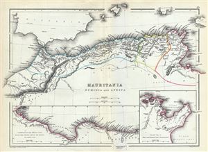
Mauritania Numidia and Africa.
sold
- Digital Map Information
- Suitable for large format printing
- File Size: 3.72 MB
- File Type: ZIP / TIFF
- ICC color profile embedded
- Delivered instantly via download link
This is a beautiful 1867 map of the Barbary Coast or northern Africa in antiquity by William Hughes. The map depicts the ancient empires of Mauritania, Carthage and Numidia or what is today the Barbary ... (more details)
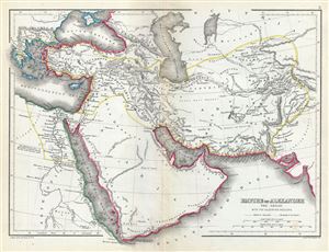
Empire of Alexander the Great with the adjoining regions.
sold
- Digital Map Information
- Suitable for large format printing
- File Size: 3.89 MB
- File Type: ZIP / TIFF
- ICC color profile embedded
- Delivered instantly via download link
This is a fine 1867 map of the Empire of Alexander the Great by William Hughes. The map depicts Alexander's conquests at their fullest extent covering from Alexander's homeland in Macedonia eastwards ... (more details)
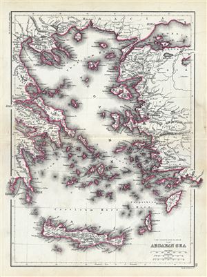
The Coasts and Islands of the Aegean Sea.
sold
- Digital Map Information
- Suitable for large format printing
- File Size: 4.6 MB
- File Type: ZIP / TIFF
- ICC color profile embedded
- Delivered instantly via download link
This is an unusual 1867 map of the islands of the Aegean Sea and the Greek Archipelago, by William Hughes. The map covers the Greek Isles from Thrace south as far as Crete and from the Gulf of ... (more details)
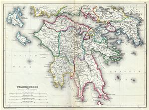
Peloponnesus with Attica and Part of Boeotia.
sold
- Digital Map Information
- Suitable for large format printing
- File Size: 4.41 MB
- File Type: ZIP / TIFF
- ICC color profile embedded
- Delivered instantly via download link
This is a scarce 1867 map of southern Greece during ancient times by William Hughes. The map covers the entire Peloponnese Peninsula including ancient Attica and parts of ancient Boeotia. The ... (more details)
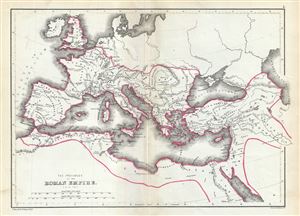
The Provinces of the Roman Empire (A.D. 119).
sold
- Digital Map Information
- Suitable for large format printing
- File Size: 3.5 MB
- File Type: ZIP / TIFF
- ICC color profile embedded
- Delivered instantly via download link
This is a beautiful 1867 map of the Roman Empire by William Hughes. The map shows the extent of the Roman Empire in AD 119, covering most of Europe, the Middle East, Asia Minor and parts of ... (more details)
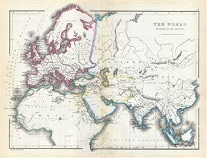
The World as known to the Ancients.
sold
- Digital Map Information
- Suitable for large format printing
- File Size: 3.79 MB
- File Type: ZIP / TIFF
- ICC color profile embedded
- Delivered instantly via download link
This is an interesting 1867 map of the ancient World by William Hughes. The map covers Europe, Asia and Africa during the time of the Ancient Roman Empire. It depicts the world of ... (more details)
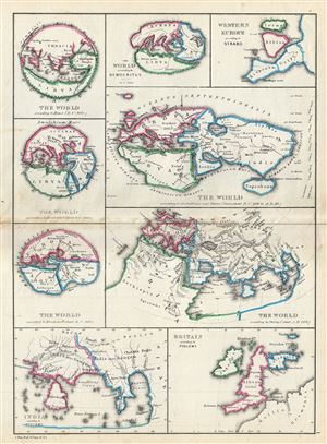
The World According to Homer (B.C. 900). The World According to Hecataeus (about B.C. 500). The World According to Herodotus (about B.C. 440). The World According to Democritus about B.C. 300. The World According to Eratosthenes and Strabo (from about B.C. 200 to A. D. 20). Western Europe According to Strabo. The World According to Ptolemy (about A.D. 160). India According to Ptolemy. Great Britain According to Ptolemy.
sold
- Digital Map Information
- Suitable for large format printing
- File Size: 3.55 MB
- File Type: ZIP / TIFF
- ICC color profile embedded
- Delivered instantly via download link
A fascinating 1867 map by William Hughes featuring the world according to ancient Greek astronomers, poets, historians and geographers. This map includes nine maps on a single ... (more details)
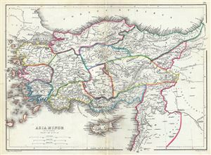
Asia Minor and the Northern Part of Syria.
sold
- Digital Map Information
- Suitable for large format printing
- File Size: 3.97 MB
- File Type: ZIP / TIFF
- ICC color profile embedded
- Delivered instantly via download link
This is a beautiful 1867 map of Turkey or Asia Minor in antiquity by William Hughes. It covers from the Aegean Sea to Mesopotamia and from the Black Sea (Pontus Euxinus) to ... (more details)
Part of General Grant's Overland Campaign, the Battle of Totopotomoy Creek immediately preceeded the Battle of Cold Harbor.
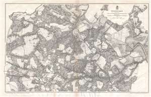
Totopotomoy.
sold
- Digital Map Information
- Suitable for large format printing
- File Size: 27.36 MB
- File Type: ZIP / TIFF
- ICC color profile embedded
- Delivered instantly via download link
This is an 1867 John Weyss and Nathaniel Michler map of the battlefield of Totopotomoy Creek, Virginia. The map depicts the region from the Virginia Central Railroad and Atlee's Station to Mechanicsville and from the Pamunkey River to Washington Academy. Numerous homesteads, farmsteads, churches, and mills are identified, along with Hanover Town, Hawe's Store, and Atlee's Station, which are prominently labeled. Numerous roads traverse the region and the Virginia Central Railroad cuts through the map along the left border. The Pamunkey River snakes its way through the region in the upper left corner. Confederate lines and entrenchments are illustrated in red, while Union troops are noted in blue. (more details)
The first published map of the area around Appomattox Court House - where the U.S. Civil War ended.
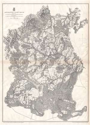
Appomattox Court House.
sold
- Digital Map Information
- Suitable for large format printing
- File Size: 21.1 MB
- File Type: ZIP / TIFF
- ICC color profile embedded
- Delivered instantly via download link
This is an 1867 John Weyss and Nathaniel Michler map of Appomattox Court House, Virginia, where the American Civil War came to a close. The map depicts the region from Appomattox Station on the South Side Railroad to the Jenkins homestead and from the homestead of L. Marshall to Evergreen Station. Beautifully engraved, the area surrounding Appomattox Court House is illustrated in detail, with numerous homesteads noted throughout. Roads traverse the area, along with the South Side Railroad, and rivers and streams are noted. Forests and hills are also included. Troop locations and movements, however, are not depicted. (more details)
Siege of Petersburg including the Battle of Five Forks, forcing the retreat of the Army of Northern Virginia.
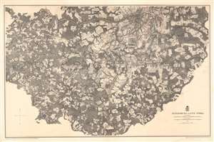
Petersburg and Five Forks.
sold
- Digital Map Information
- Suitable for large format printing
- File Size: 64.72 MB
- File Type: ZIP / TIFF
- ICC color profile embedded
- Delivered instantly via download link
This is an 1867 John Weyss and Nathaniel Michler map of Petersburg and Five Forks, Virginia illustrating the Siege of Petersburg during the American Civil War (1862 - 1865). The map depicts the region from Five Forks to Prince George Court House and from the river road north of the Appomattox River to Malone's Bridge on Rowanty Creek. (more details)
Depicts in detail the battlefield of the Battle of Antietam - the bloodiest day in U.S. history.
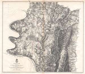
Antietam.
sold
- Digital Map Information
- Suitable for large format printing
- File Size: 19.2 MB
- File Type: ZIP / TIFF
- ICC color profile embedded
- Delivered instantly via download link
This is an 1867 John Weyss and Nathaniel Michler map of the battlefield of Antietam in Maryland. The map depicts the region from the Potomac River to Rohrersville and from Bakersville to just south of the Antietam Iron Works situated at the confluence of Antietam Creek and the Potomac River. (more details)
A detailed map of Harper's Ferry, a key strategic locations during the American Civil War.
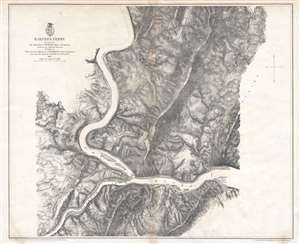
Harper's Ferry.
sold
- Digital Map Information
- Suitable for large format printing
- File Size: 21.51 MB
- File Type: ZIP / TIFF
- ICC color profile embedded
- Delivered instantly via download link
This is an 1867 John Weyss and Nathaniel Michler map of the vicinity of Harper's Ferry, West Virginia. The map depicts the region from just west of the tollgate on the Charlestown Pike to the South Mountains and from the Mullendar farm to Waldro's School House. Harper's Ferry, located at the confluence of the Shenandoah River and the Potomac River, is situated to the left of center. Numerous farmsteads are illustrated and labeled throughout the region, along with mills, schoolhouses, and the town of Bolivar. (more details)
The last major battle fought between the Confederate Army of Northern Virginia and the Union Army of the Potomac.
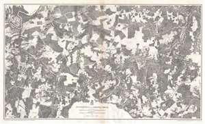
Jetersville and Sailors Creek.
sold
- Digital Map Information
- Suitable for large format printing
- File Size: 31.39 MB
- File Type: ZIP / TIFF
- ICC color profile embedded
- Delivered instantly via download link
This is an 1867 John Weyss and Nathaniel Michler map of the battlefield of Sailor's Creek, Virginia. The map depicts the region from Morton's Ford on the Appomattox River to Flat Creek and from Captain Miller's homestead to the Harper farmstead. Highly detailed, numerous homesteads, mills, farms, and churches are noted throughout, along with the communities of Jetersville and Dentonsville. The Appomattox River traverses the upper left corner, while the Richmond and Danville Railroad cuts through the bottom right corner. The Richmond and Danville is the railroad used by Confederate President Jefferson Davis and his cabinet when they evacuated Richmond on April 2, 1865. (more details)
The battle where Confederate General 'Stonewall' Jackson was killed by friendly fire.
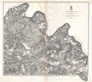
Chancellorville.
sold
- Digital Map Information
- Suitable for large format printing
- File Size: 20.33 MB
- File Type: ZIP / TIFF
- ICC color profile embedded
- Delivered instantly via download link
This is a rare 1867 John Weyss and Nathaniel Michler map of the battlefield of Chancellorsville in Spotsylvania County, Virginia. The map depicts the region from James Taylor's homestead on the Orange Turnpike to the Rappahannock River and from Foster's Ford on the Rapidan River to an unfinished railroad that runs roughly parallel to the Orange Turnpike and Haxel Run. Fortifications are illustrated throughout, although they remain unlabeled, so the viewer is unable to know whether the fortifications are Confederate or Union lines without some prior knowledge. These lines are, most likely, Union Major General Joseph Hooker's defensive lines. Apart from the lack of military notations, the map presents a highly detailed depiction of the region, including numerous homesteads that are identified by the owner's last name, forests, fields, streams, and rivers. The Orange Turnpike nearly divides the region in two, while an unfinished railroad line traverses the map near the bottom border. Chancellorsville itself is situated along the Orange Turnpike in the bottom left quadrant. (more details)
Remembered as one of the most lopsided battles of the war, Union forces suffered over three times the number of casualties as the Confederates during the Battle of Fredericksburg.
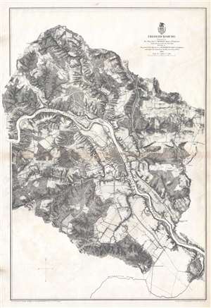
Fredericksburg.
sold
- Digital Map Information
- Suitable for large format printing
- File Size: 21.97 MB
- File Type: ZIP / TIFF
- ICC color profile embedded
- Delivered instantly via download link
This is an 1867 John Weyss and Nathaniel Michler map of the battlefield of Fredericksburg, Virginia. The map depicts the region from the Banks farmstead to the Fitzhugh farmstead and from the Jewett farmstead to the Massaponax River. Highly detailed, numerous homesteads, mills, farms, and churches are noted in the vicinity of the town of Fredericksburg. Fredericksburg itself is situated along the Rappahannock River and the town's street grid is illustrated. The Richmond, Fredericksburg, and Potomac Railroad traverses the map from north to south and crosses the Rappahannock at Fredericksburg. A canal to the northwest of Fredericksburg allows for an easier transit of the section of the Rappahannock around Beck's Island. The Old Richmond Stage Road, Orange Court House Turnpike, and Telegraph Road are illustrated as well. Although the actions of the battle are not explicitly traced, Confederate positions are illustrated in red, while a handful of Union forces are noted in blue. (more details)
One of the most lopsided battles of the Civil War.
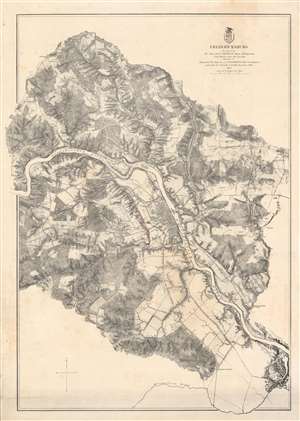
Fredericksburg.
sold
- Digital Map Information
- Suitable for large format printing
- File Size: 59.15 MB
- File Type: ZIP / TIFF
- ICC color profile embedded
- Delivered instantly via download link
This is an 1867 John Weyss and Nathaniel Michler map of the battlefield of Fredericksburg, Virginia. The map depicts the region from the Banks farmstead to the Fitzhugh farmstead and from the Jewett farmstead to the Massaponax River. Highly detailed, numerous homesteads, mills, farms, and churches are noted in the vicinity. Fredericksburg itself is situated along the Rappahannock River and the town's street grid is apparent. The Richmond, Fredericksburg, and Potomac Railroad traverses the map from north to south and crosses the Rappahannock at Fredericksburg. A canal to the northwest of Fredericksburg allows for an easier transit of the Rappahannock around Beck's Island. The Old Richmond Stage Road, Orange Court House Turnpike, and Telegraph Road are illustrated as well. Although the battle is not explicitly traced, Confederate positions are illustrated in red, while a handful of Union forces are noted in blue. (more details)
A battle during Lee's retreat from Richmond concerning two key bridges across the Appomattox River.
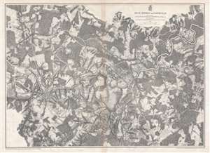
High Bridge and Farmville.
sold
- Digital Map Information
- Suitable for large format printing
- File Size: 28.36 MB
- File Type: ZIP / TIFF
- ICC color profile embedded
- Delivered instantly via download link
This is an 1867 John Weyss and Nathaniel Michler map of the battlefield of High Bridge, Virginia. The map depicts the region from the farmstead of A. Adams to the Parkinson homestead and from the home of H. Burt to Rice's Depot. Numerous homesteads, farmsteads, churches, and mills are identified, along with Farmville and Jamestown (both of which are situated along the Appomattox River), and Rice's Depot. Numerous roads, including the Agola Road, traverse the region and the South Side Railroad crosses most of the map from Rice's Depot near the bottom border to Farmville and then continues on to the left. (more details)
The second major engagement of General Grant's 1864 Overland Campaign.
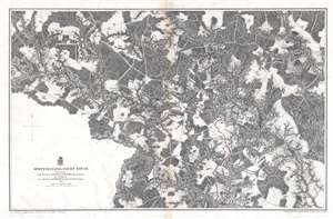
Spottsylvania Court House.
sold
- Digital Map Information
- Suitable for large format printing
- File Size: 24.75 MB
- File Type: ZIP / TIFF
- ICC color profile embedded
- Delivered instantly via download link
This is an 1867 John Weyss and Nathaniel Michler map of the battlefield of Spotsylvania Court House in Virginia, the second battle in General Ulysses S. Grant's 1864 Overland Campaign in Virginia. The map depicts the region from Shady Grove Church to the Abbot homestead and from Piney Branch Church to the Crutchfield farm. (more details)
A major Union campaign led by General Benjamin Butler undertaken (at the same time as Grant's Overland Campaign) that ended in stalemate.
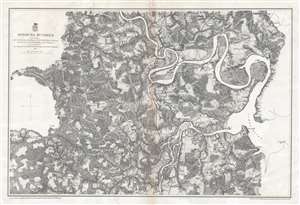
Bermuda Hundred.
sold
- Digital Map Information
- Suitable for large format printing
- File Size: 23.62 MB
- File Type: ZIP / TIFF
- ICC color profile embedded
- Delivered instantly via download link
This is an 1867 John Weyss and Nathaniel Michler map of the Bermuda Hundred Campaign during the American Civil War. The map depicts the region from the Dunnson farm to the Jordan's Point Lighthouse on the James River and from Chaffin's Bluff and Drury's (Drewry's) Bluff to the J. Mason farm. (more details)
A detailed look at the Siege of Petersburg including the Battle of Five Forks, a key victory in forcing the surrender of the Army of Northern Virginia by Robert E. Lee.
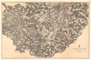
Petersburg and Five Forks.
sold
- Digital Map Information
- Suitable for large format printing
- File Size: 75.14 MB
- File Type: ZIP / TIFF
- ICC color profile embedded
- Delivered instantly via download link
This is an 1867 John Weyss and Nathaniel Michler map of Petersburg and Five Forks, Virginia illustrating the Siege of Petersburg during the American Civil War (1862 - 1865). The map depicts the region from Five Forks to Prince George Court House and from the river road north of the Appomattox River to Malone's Bridge on Rowanty Creek. (more details)
Illustrates in detail Richmond, the capital of the Confederacy, and its environs, along with Confederate and Union fortifications.
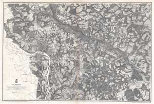
Richmond.
sold
- Digital Map Information
- Suitable for large format printing
- File Size: 27.02 MB
- File Type: ZIP / TIFF
- ICC color profile embedded
- Delivered instantly via download link
This is an 1867 John Weyss and Nathaniel Michler map of Richmond, Virginia, the Capital of the Confederacy, and its environs. The map depicts the region from the Western Plank Road to Hopewell Church and from Yellow Tavern to Willis Methodist Church. Highly detailed, both Confederate and Union fortifications are illustrated, with Confederate lines colored red and Union lines colored blue. The street grid of Richmond and Manchester are illustrated, and farms, mills, churches, and other landmarks are identified throughout. Several railroads, including the Richmond and Fredericksburg, the Richmond and Petersburg, and the Virginia Central are illustrated and labeled, as are the Mechanicsville Turnpike, the Williamsburg Turnpike, and the Brook Turnpike. Cold Harbor, Virginia, the site of the Battle of Cold Harbor, is located only ten miles northeast of Richmond, situating it, and the battle lines, in the upper right quadrant. (more details)
A detailed look at the Siege of Petersburg including the Battle of Five Forks, a key victory in forcing the surrender of the Army of Northern Virginia by Robert E. Lee.
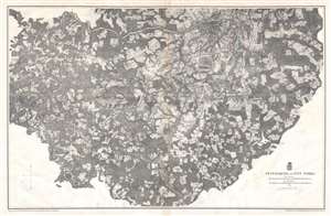
Petersburg and Five Forks.
sold
- Digital Map Information
- Suitable for large format printing
- File Size: 29.42 MB
- File Type: ZIP / TIFF
- ICC color profile embedded
- Delivered instantly via download link
This is an 1867 John Weyss and Nathaniel Michler map of Petersburg and Five Forks, Virginia. The map depicts the region from Five Forks to Prince George Court House and from the river road north of the Appomattox River to Malone's Bridge on Rowanty Creek. (more details)