
NEW ACQUISITIONS
The Swedish Empire, Crumbling.
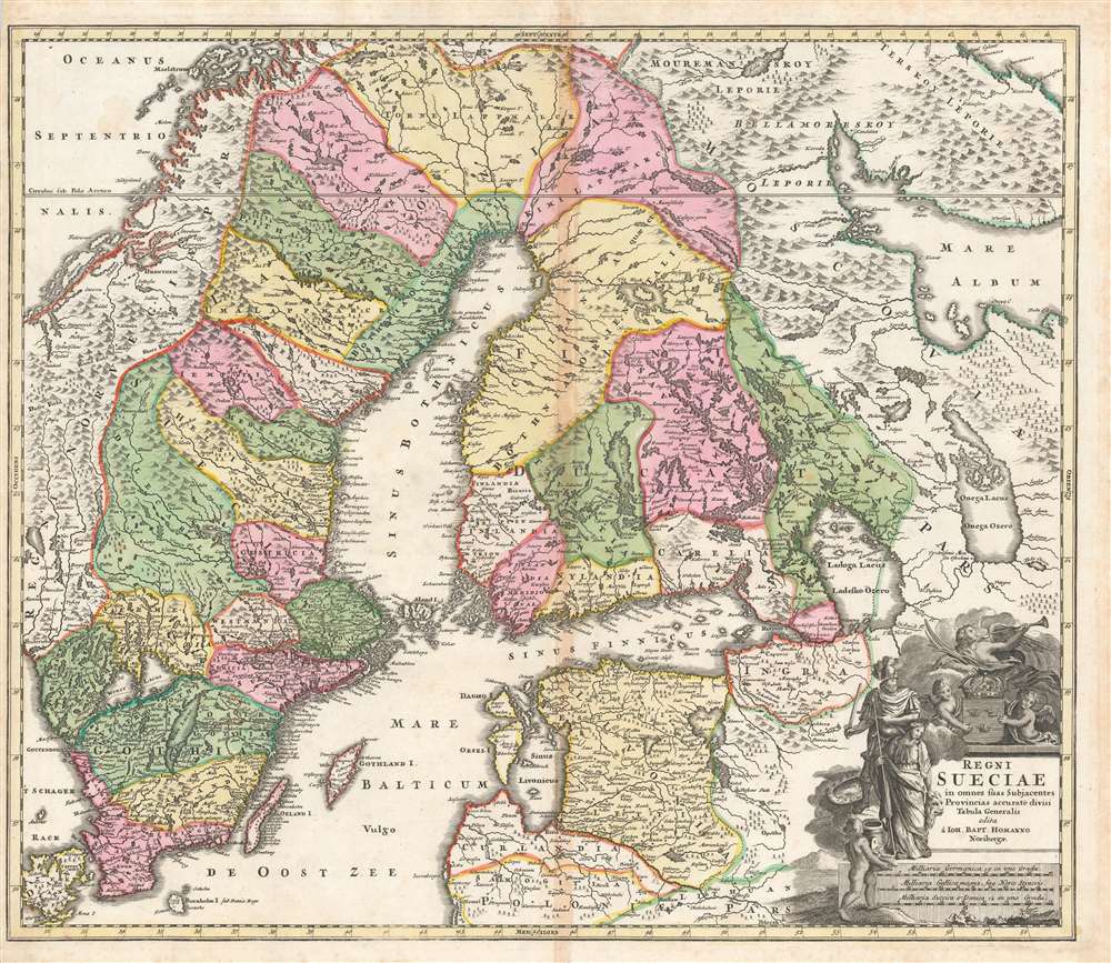
Regni Sueciae in omnes suas Subjacentes Provincias accurate divisi Tabula Generalis edita à Ioh. Bapt. Homanno Noribergae.
$600.00
Acquire
- Digital Map Information
- Suitable for large format printing
- DPI: 600
- File Size: 70.24 MB
- File Type: ZIP / TIFF
- ICC color profile embedded
- Delivered instantly via download link
This is a richly colored example of Johan Baptist Homann's c. 1716 map of the Kingdom of Sweden, which brought what was the dominant mapping of Sweden and its neighbors up-to-date with the events of the Great Northern War. Homann started - almost certainly - with Frederic de Wit's 1680 Regni Sueciae but added detail and place names that did not exist prior to the 1700–1721 Great Northern War between Sweden and Russia, and particularly before the 1703 capture of the island of Kotlin by Russia from Sweden, the 1703 Russian capture of Nyenskans, and the foundation of the city of St. Petersburg. The city of Oresca, also known as Oreshek, was captured by Russia in 1702 and renamed Schlüsselburg by Peter the Great during his administrative reforms. Here it retained its earlier name. (more details)
Richly-Engraved Guinea Coast.
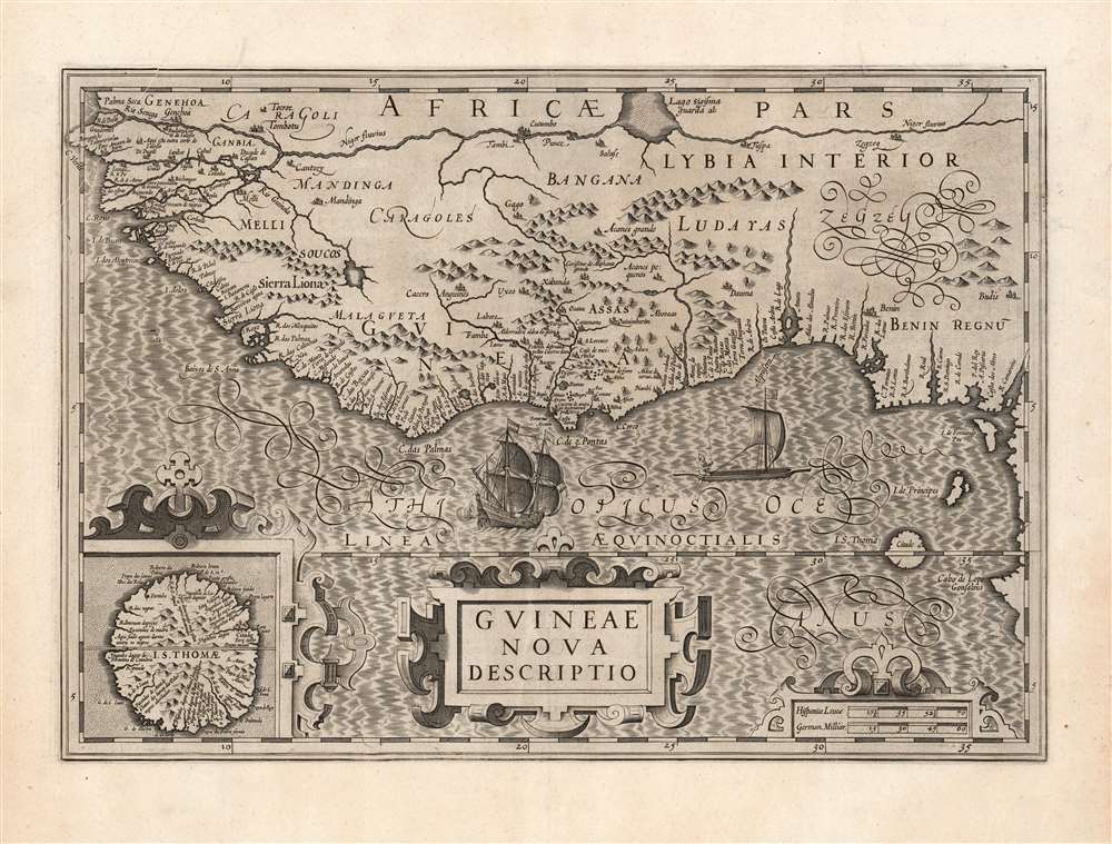
Guineae Nova Descriptio.
$550.00
Acquire
- Digital Map Information
- Suitable for large format printing
- DPI: 600
- File Size: 69.97 MB
- File Type: ZIP / TIFF
- ICC color profile embedded
- Delivered instantly via download link
This is Jodocus Hondius' 1606 map of the Guinea coast of Africa, stretching from the mouth of the Senegal River to Cape Lopez, from modern Senegal to Benin. It shows this coast at a time when its trade was largely controlled by the Portuguese, with whom the Dutch were at war; this map thus presented to a Dutch audience what would have been considered a rich prize to be taken. (more details)
Remarkable Cormorant Fishing tradition.
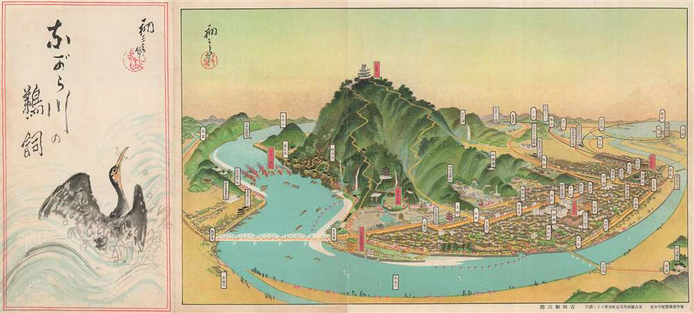
ながら川の鵜飼 / [Cormorant Fishing on the Nagara River].
$400.00
Acquire
- Digital Map Information
- Suitable for large format printing
- Full resolution TIFF file
- ICC color profile embedded
- Delivered instantly via download link
This is a charming c. 1925 bird's eye view of Gifu (岐阜) by Yoshida Hatsusaburo, a leading producer of views from this era. The view focuses on the famous practice of cormorant fishing in Gifu, a traditional means of gathering food that by this time had already transitioned to being primarily a tourist attraction. (more details)
The 1964-65 World's Fair!
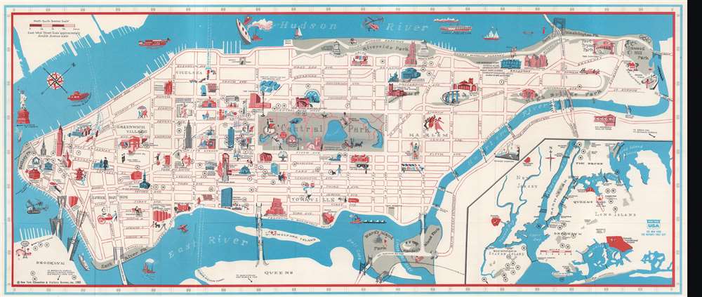
New York Guide Touristique et Carte.
$225.00
Acquire
This is a 1965 New York Convention and Visitors Bureau pictorial map of Manhattan, New York City, issued for the 1964 - 1965 World's Fair. Pictorial icons mark landmarks from the Battery to Inwood Hill Park, including the Empire State Building, the American Museum of Natural History, Lincoln Center, and the United Nations. The Museum of Modern Art, the Guggenheim, and the Metropolitan Museum of Art appear alongside Columbia University, Hunter College, the New School, and New York. One of the lions in front of the New York Public Library overlooks Fifth Avenue. An inset in the lower right provides a regional context and highlights the World's Fair grounds, LaGuardia, Newark, and J.F.K. airports. (more details)
Scarce of San Francisco's Golden Gate Park including the Avenue and Buena Vista Park.

Map showing the Golden Gate Park The Avenue and Buena Vista Park.
$1,000.00
Acquire
- Digital Map Information
- Suitable for large format printing
- File Size: 20.12 MB
- File Type: ZIP / TIFF
- ICC color profile embedded
- Delivered instantly via download link
A rare sprawling map of San Francisco's Golden Gate Park issued in 1903. The map Golden Gate Park in full as well as The Avenue, today called 'The Panhandle' and nearby Buena Vista Park. San Franciscans began to recognize the need for a public recreation area to rival New York City's Central Park in the late 1860s. However, plans for Golden Gate Park did not get underway until the early 1870s. This is the earliest map we are aware of to illustrate the full park. (more details)
Pan American's worldwide network at the airline's peak.
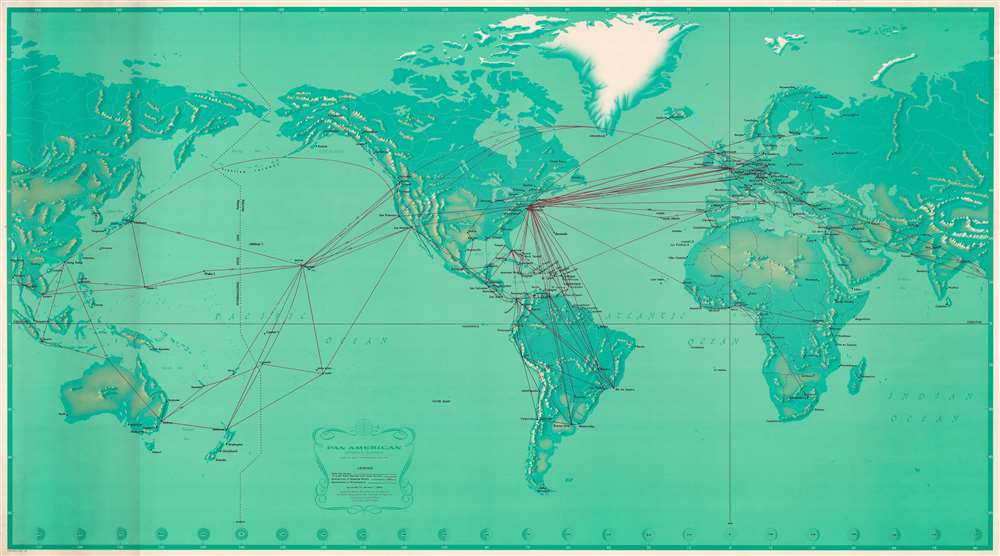
Pan American Airways System. World's Most Experienced Airline.
$975.00
Acquire
Published at the height of Pan American's success, this is a 1968 Pan American Airways (Pan Am) route map of the world. At the time, Pan American operated flights to eighty-six countries on six continents. Red lines highlight Pan American's routes across the globe, with numbers providing each route's distance in miles and kilometers. Pan Am's impressive network connected its hub at John F. Kennedy Airport in New York City with the rest of the world. The airline serviced islands throughout the Caribbean, South America, western and central Europe, the Middle East and East Asia, and several Pacific islands. (more details)
Proof state of the first Israeli map of Jaffa.
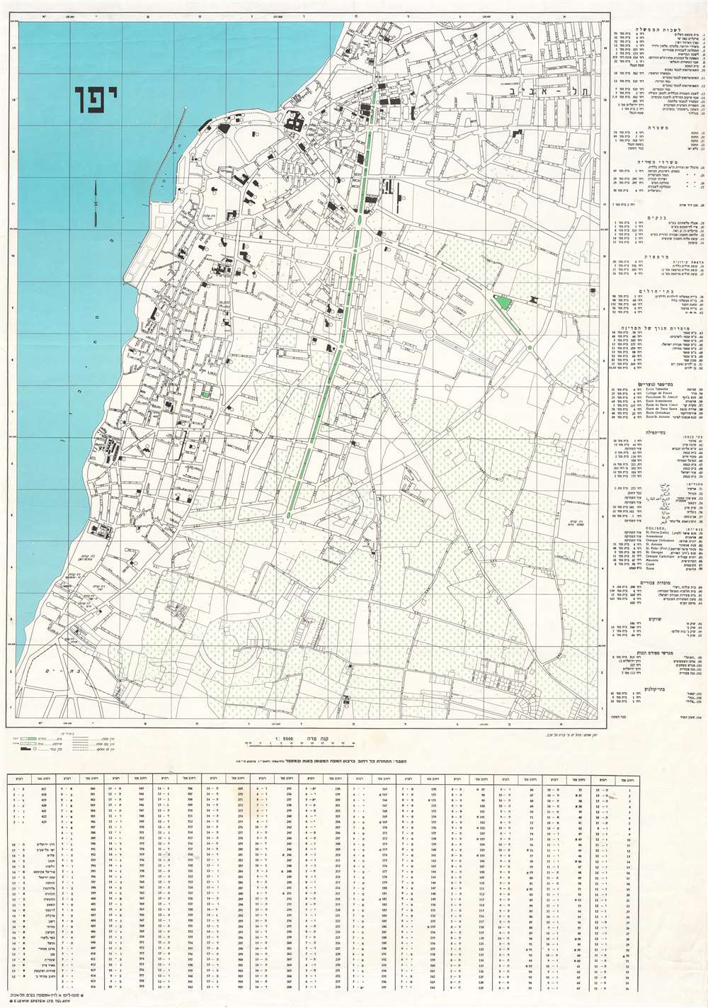
.יפו
$950.00
Acquire
- Digital Map Information
- Suitable for large format printing
- File Size: 106.33 MB
- File Type: ZIP / TIFF
- ICC color profile embedded
- Delivered instantly via download link
A true rarity, this is a c. 1949 E. Lewin Epstein city map of Yafo / Jaffa, Israel. Here in a proof state, this is likely the first published Israeli map of Jaffa. Individual buildings are illustrated and streets are labeled throughout. An index, situated along the right side, lists 106 locations throughout the city. (more details)
Updated version of the best map of the Gilded Age Adirondacks.
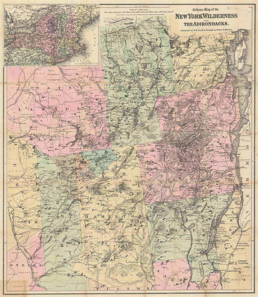
Colton's Map of the New York Wilderness and the Adirondacks.
$950.00
Acquire
- Digital Map Information
- Suitable for large format printing
- File Size: 149.4 MB
- File Type: ZIP / TIFF
- ICC color profile embedded
- Delivered instantly via download link
This is Colton's 1894 updated edition of William Watson Ely's map of New York's Adirondack Mountains. Coverage extends from Saint Lawrence, Franklin, and Clinton counties in the north, to parts of Oneida and Saratoga counties in the south. An inset map in the upper left marks the location of the Adirondacks in relation to the rest of New York State, and New England as a whole. Colton's updates to Ely's map were supplied at least in part by Edwin R. Wallace, who included the map in his Descriptive Guide to the Adirondacks, which from its first printings in the 1875 would be the essential guidebook for travelers in the wilderness of northern New York. The present example contains further updates to 1894, some quite specific to the famous Adirondack Great Camps. (more details)
The Danube below Vienna.
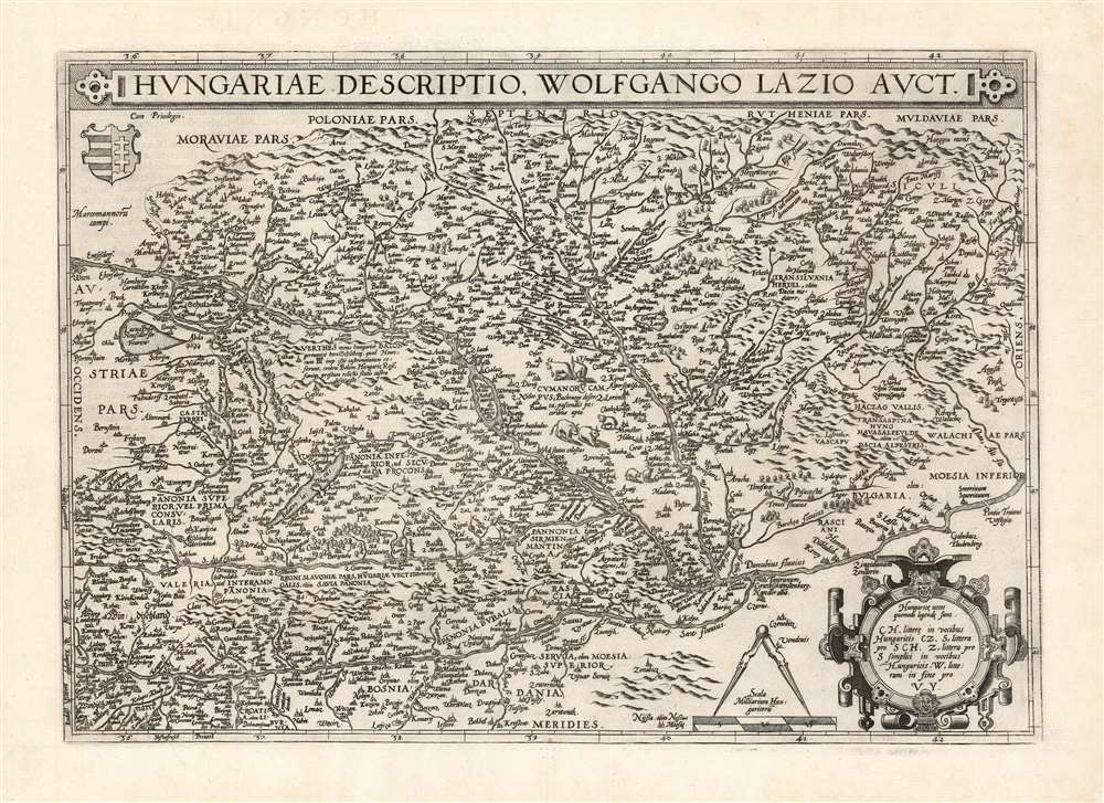
Hungariae Descriptio Wolfgango Lazio Auct.
$750.00
Acquire
- Digital Map Information
- Suitable for large format printing
- DPI: 600
- File Size: 62.82 MB
- File Type: ZIP / TIFF
- ICC color profile embedded
- Delivered instantly via download link
This is Abraham Ortelius' 1570 map of Hungary, the first acquirable, accurate map of that region, and the first atlas map of Hungary. The map includes parts of Austria, Slovakia and Romania, with parts of Croatia, Bosnia and Serbia in the south. The heart of the map is the River Danube, reaching from Vienna in the west to the Romanian river Olt (here in the German Alt and the Latin Aluta) Buda and Pest are shown. Belgrade appears at the confluence of the Sau and the Danube, with the antiquated German appellation Griechschweissenburg. (more details)
The Roaring Twenties in Philadelphia.
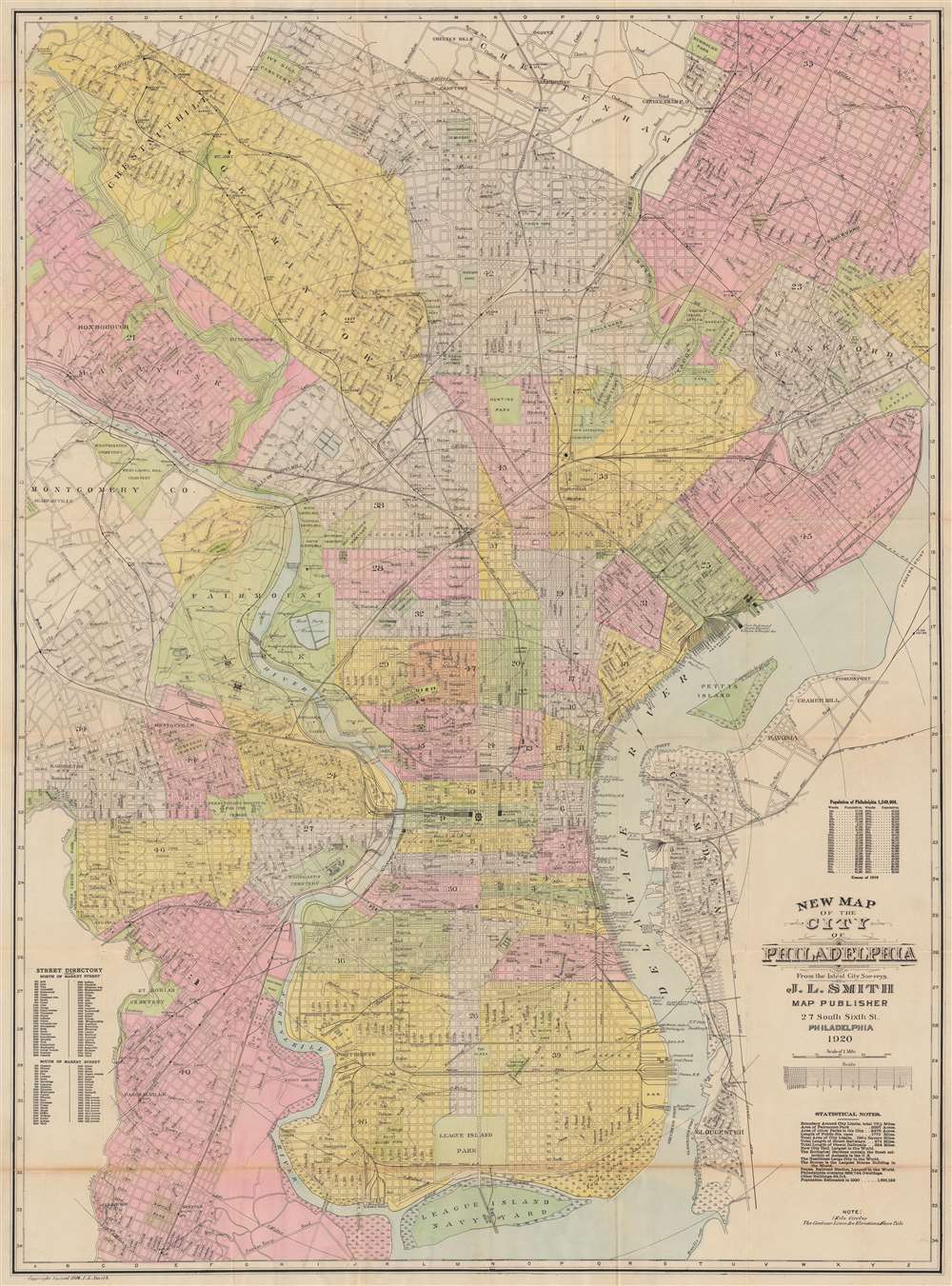
New Map of the City of Philadelphia.
$600.00
Acquire
- Digital Map Information
- Suitable for large format printing
- Full resolution TIFF file
- ICC color profile embedded
- Delivered instantly via download link
This is a 1920 John L. Smith city plan or map of Philadelphia, Pennsylvania, presents a snapshot of the city at the beginning of the 'Roaring Twenties'. Coverage extends from Cheltenham south to League Island Navy Yard and from Haddington east to the U.S. Arsenal on the banks of the Delaware River. Parks, cemeteries, college campuses, the zoological garden, and other open spaces break up Philadelphia's street grid. Streets, identified throughout, appear along with the railroad network, including the Baltimore and Ohio Railroad, and the Pennsylvania Railroad. Wharves along the Delaware River are labeled by owner, including ferries, cargo companies, and railroads. (more details)
Massachusetts' railroad network.
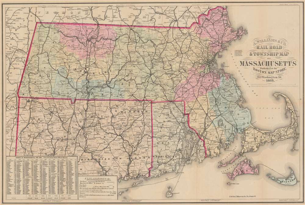
Railroad and Township Map of Massachusetts.
$275.00
Acquire
- Digital Map Information
- Suitable for large format printing
- Full resolution TIFF file
- ICC color profile embedded
- Delivered instantly via download link
This is an 1882 A. Williams and Company railroad map of Massachusetts, Connecticut, and Rhode Island. Bold black lines detail the railroad network. Distances between stops are noted, providing detail on travel distances. Among the illustrated railroads are the Boston and Providence Railroad, the New York and New England Railroad, and the Vermont and Massachusetts Railroad. (more details)
Pictorial map of Oahu.
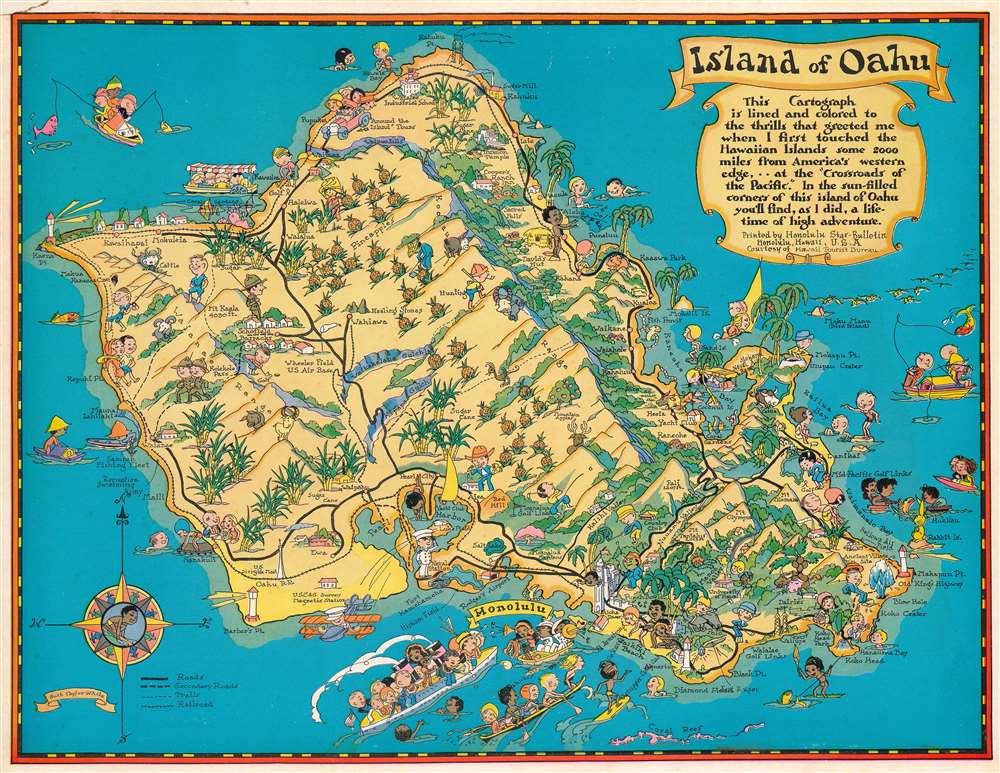
Island of Oahu.
$220.00
Acquire
- Digital Map Information
- Suitable for large format printing
- File Size: 54.06 MB
- File Type: ZIP / TIFF
- ICC color profile embedded
- Delivered instantly via download link
This is a 1931 Ruth Taylor White pictorial map of Oahu, Hawaii, commissioned by the Hawaii Tourist Bureau. Oahu appears as a tropical paradise were travelers arriving by ocean liner are greeted with leis, before moving on to the beaches and interior. Pineapples dot the center of the island and sugar cane is planted near the coasts. Mountain peaks, gulches, and valleys are labeled. Schofield Barracks and the Pearl Harbor naval base are noted. (more details)
Travel 'Mid-America's Diagonal Boulevard'!
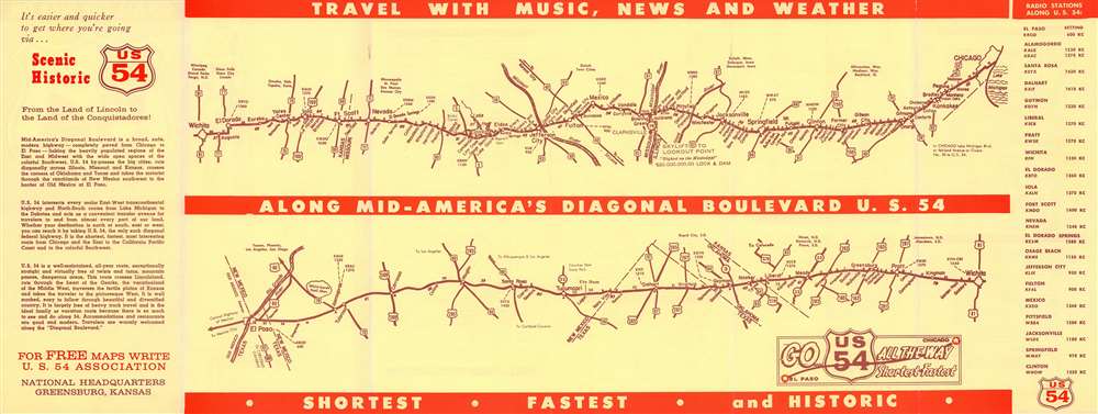
Go All the Way on U.S. 54.
$175.00
Acquire
- Digital Map Information
- Suitable for large format printing
- Full resolution TIFF file
- ICC color profile embedded
- Delivered instantly via download link
Highlighting 'Mid-America's Diagonal Boulevard', this is a c. 1950 U.S. 54 Association strip map of U.S. Highway 54. Connecting Chicago with El Paso and Juarez, Mexico, the map identifies cities and towns all along the highway. A few sites are marked along the highway as well, such as Ute Dam in New Mexico and Lake of the Ozarks in Missouri. Radio stations are identified along the highway as well, providing news and entertainment. Connecting highways branch off from U.S. 54, allowing for some additional context. An 'index' of cities and towns along the highway in order from Chicago to El Paso occupies the verso. (more details)
Wonderment with the world.
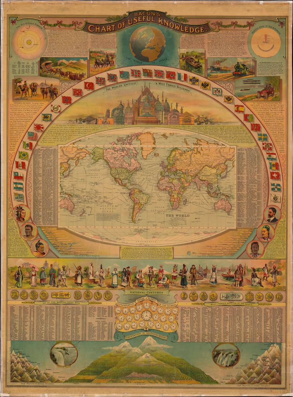
Bacon's Chart of Useful Knowledge.
$6,000.00
Acquire
- Digital Map Information
- Suitable for large format printing
- Full resolution TIFF file
- ICC color profile embedded
- Delivered instantly via download link
This is George W. Bacon's striking wall-map style compendium of all 'useful knowledge' - a densely informative chromolithographic masterpiece. Bacon's map/chart emerges out of the great age of data collection - a period following the Age of Discovery in which improved transportation and intellectual optimism encouraged a furious effort to catalog, 'collect', and contextualize the natural world. The present map synthesizes these efforts into a single dense infographic aimed at both the next generation of explorer/scientists and the armchair adventurer. Herein, information is effectively summarized and categorized, embracing an impressive range of subjects: astronomy, geography, transportation, ethnology, geology, anthropology, and more. (more details)
Between Paraguay and Argentina.
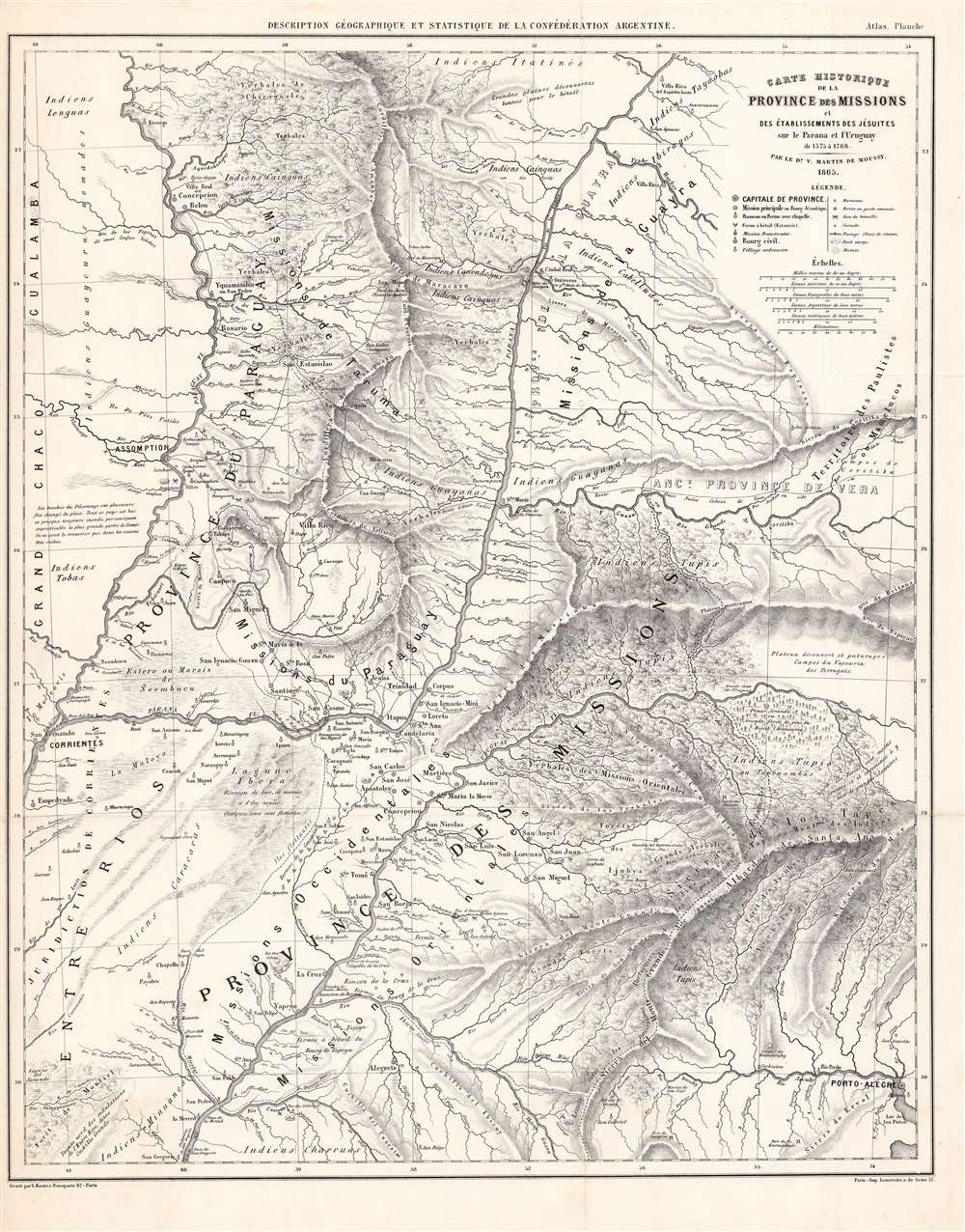
Carte Historique de la Province des Missions et Établissements des Jésuites sur le Parana et l'Uruguay de 1575 a 1766.
$1,200.00
Acquire
- Digital Map Information
- Suitable for large format printing
- File Size: 62.69 MB
- File Type: ZIP / TIFF
- ICC color profile embedded
- Delivered instantly via download link
This is an 1865-dated (1873) map of Paraguay and the neighboring Missions Province, an often-contested land between that country, Uruguay, and the Argentine Confederation. It was the work of French émigré physician and surveyor Martin de Moussy (Victor) who explored the region on behalf of the Argentine Confederation. It is a superbly detailed work, marking current settlements and former Jesuit ones, Indigenous regions, and the locations of battles fought in the 1851-52 Platine War, during which Martin had served in the Argentine National Guard. (more details)
Pioneering Effort in Oceanic geography.
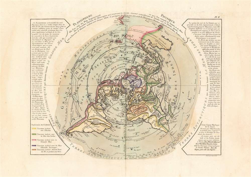
Planisphere Physique.
$1,200.00
Acquire
- Digital Map Information
- Suitable for large format printing
- DPI: 600
- File Size: 53.17 MB
- File Type: ZIP / TIFF
- ICC color profile embedded
- Delivered instantly via download link
A fascinating and beautiful c. 1781 Philippe Buache map of the world, presented on an unusual north polar projection. This is the first work to attempt to map the ocean floor - a revolutionary work connecting undersea with surface geography. Although Buache's submarine geography was speculative at best, the work is a landmark achievement in its attempt to illustrate and scientifically assess the unknowable oceanic depths. (more details)
c. 1874 manuscript map of Shanghai.
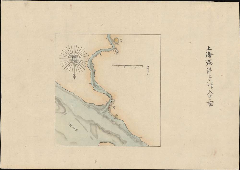
The Port of Shanghai. / 上海港洋子江入口圖
$750.00
Acquire
- Digital Map Information
- Suitable for large format printing
- File Size: 5.92 MB
- File Type: ZIP / TIFF
- ICC color profile embedded
- Delivered instantly via download link
A most unusual manuscript map of Shanghai dating to roughly 1874. Oriented to the south, the map follows the course of the Huangpu River from its confluence with the Yangtze River and the Baoshan Waterway. Although unattributed, the map is most likely the work of Sudo Katsuzō (湏藤 / 湏藤勝三), a Japanese diplomat and cartographer who served on a mission to Taiwan and China following the Mudan Incident of 1871. The goal of the mission was to negotiate reparations with the Qing for fifty-four cannibalized Ryūkyūan sailors. (more details)
One of the first scientific surveys of eastern Tibet.
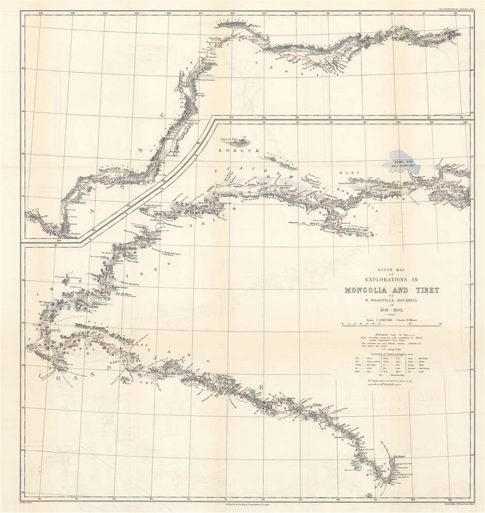
Route Map of Explorations in Mongolia and Tibet by W. Woodville Rockhill in 1891 - 1892.
$650.00
Acquire
- Digital Map Information
- Suitable for large format printing
- File Size: 21.36 MB
- File Type: ZIP / TIFF
- ICC color profile embedded
- Delivered instantly via download link
This is an important 1894 William Woodville Rockhill 'Great Game' map of western China, eastern Tibet, and part of Mongolia. The map depicts from Zhangjiakou, China to Xikangbatang, China and follows Rockhill's route in his attempt to reach Lhasa, Tibet. (more details)
Dominant 16th century model for the mapping of Austria.
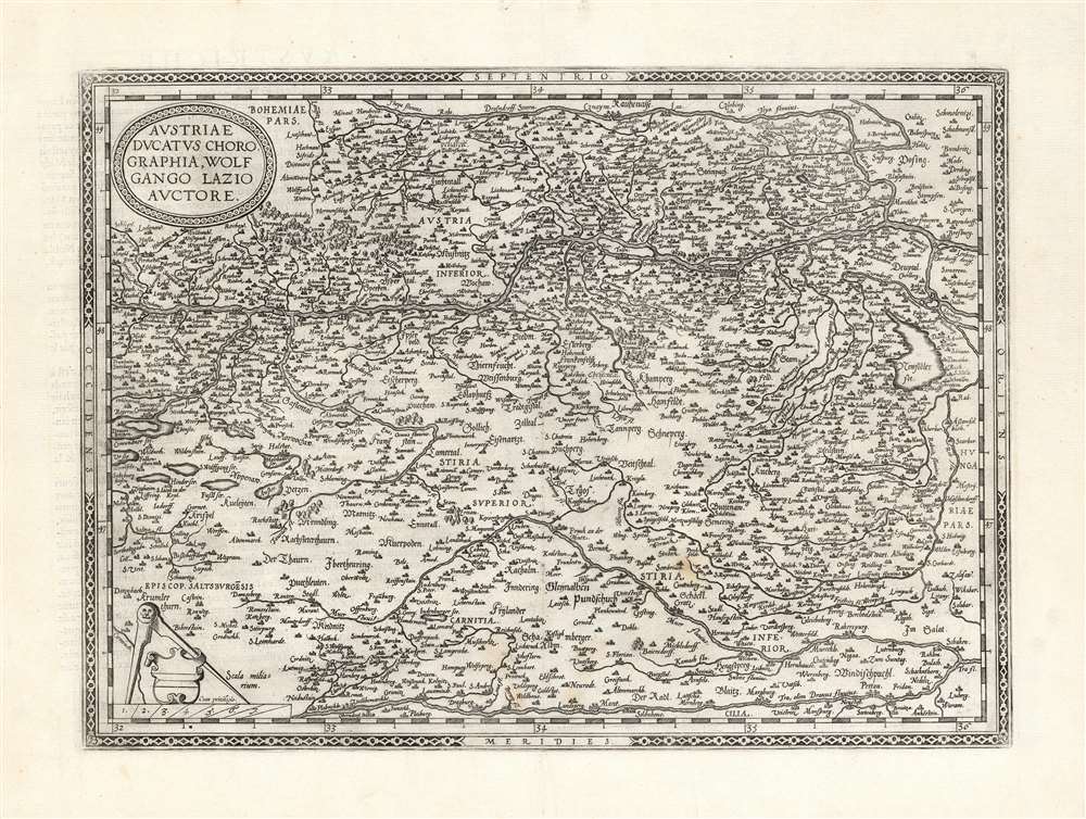
Austriae Ducatus Chorographia, Wolfgango Lazio Auctore.
$650.00
Acquire
- Digital Map Information
- Suitable for large format printing
- DPI: 600
- File Size: 57.8 MB
- File Type: ZIP / TIFF
- ICC color profile embedded
- Delivered instantly via download link
This is Abraham Ortelius' 1570 map of Austria. It depicts the lands lying between the Thaya River in the north and the Drava in the south. Between the two flows the Danube, from Waldkirchen am Wesen in the west to Bratislava in the east (here styled Bresburg). Vienna, of course, is prominently noted. (more details)
A gorgeous map of a decidedly unpleasant place.
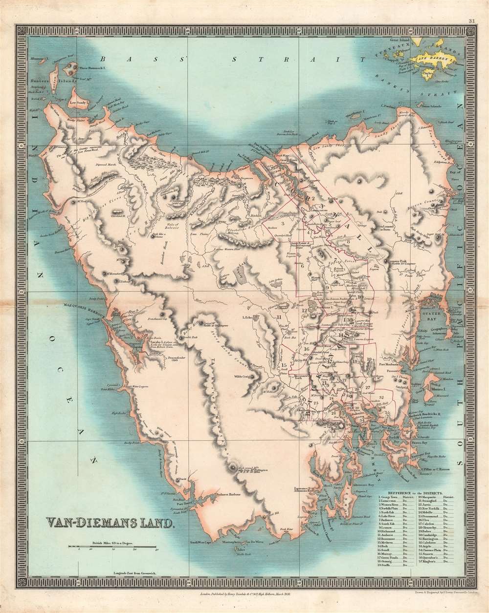
Van-Diemans Land.
$550.00
Acquire
- Digital Map Information
- Suitable for large format printing
- DPI: 600
- File Size: 40.59 MB
- File Type: ZIP / TIFF
- ICC color profile embedded
- Delivered instantly via download link
This is a brilliantly colored 1831 Henry Teesdale / John Dower map of Van Diemen's Land (Tasmania) published in their A New General Atlas of the World. It depicts the territory at a time when it primarily served as a British penal colony, gaining it a notorious reputation as an inhospitable and undesirable place. (more details)