This copy is copyright protected.
Copyright © 2024 Geographicus Rare Antique Maps
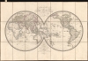
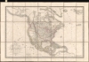
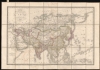
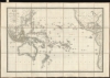
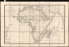
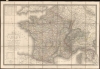
1827 Brue Dissected Atlas of the World
Atlas-brue-1827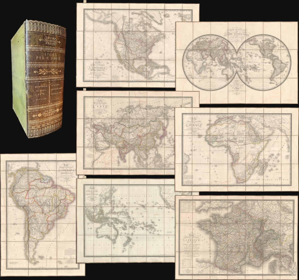
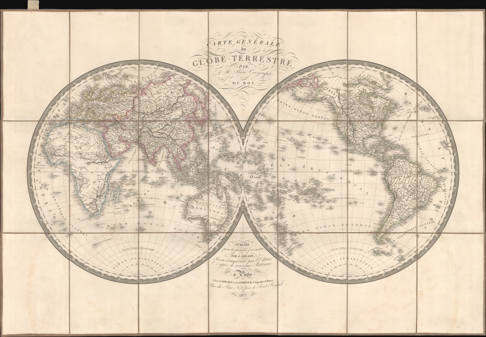
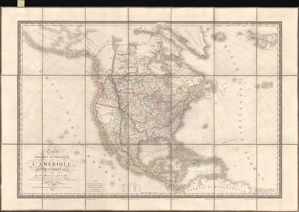
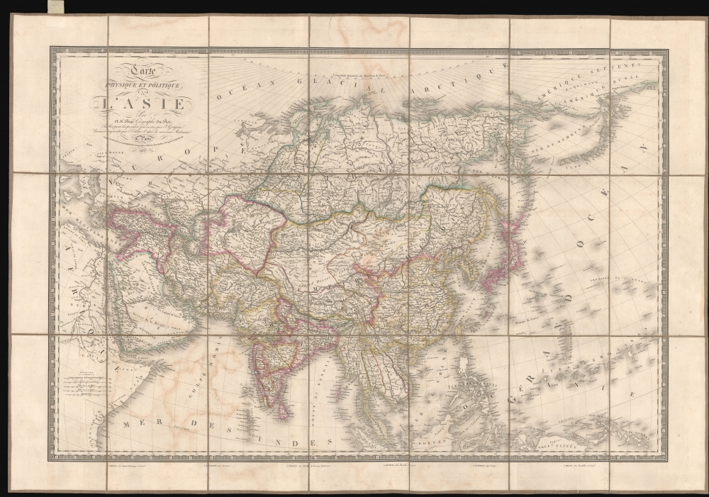
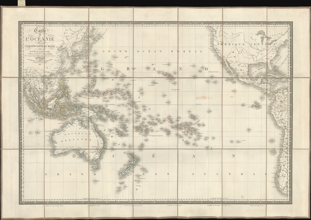
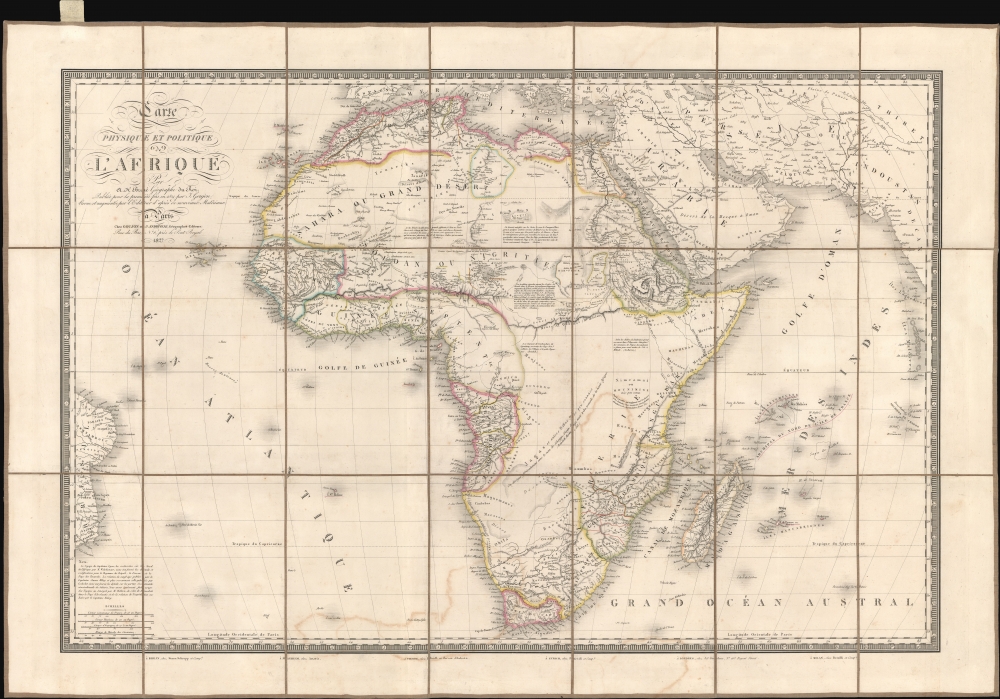
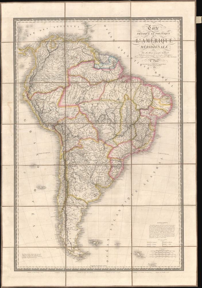
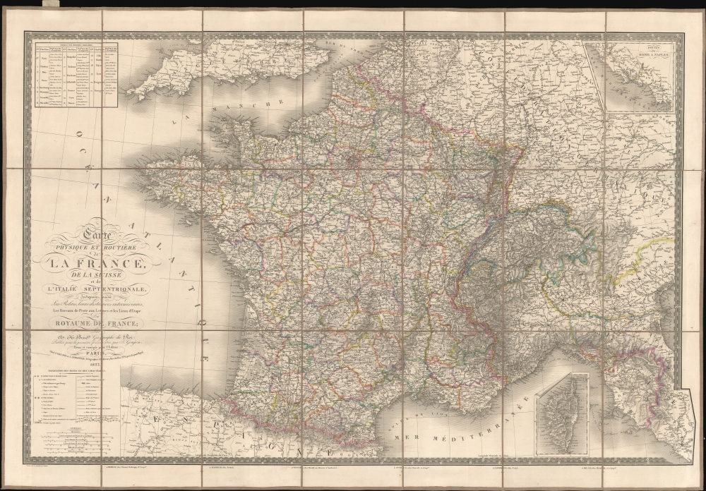
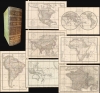


Adrien-Hubert Brué (1786 – July 16, 1832) was a French cartographer active in the late 18th and early 19th centuries. Brué served on various ships from age 12. At 14 he was commissioned to the crew of the Naturalist, one of the two ships in Baudin Expedition (1800 – 1804) to the South Pacific. Later in life, Brué turned to cartography where his work was known for remarkable clarity and accuracy. Brué eventually acquired the prestigious office of Geographe du Roi and often signed his maps as such. In this position Brué contributed to thousands of maps and numerous atlases. Like most cartographers, many of his maps were published posthumously. His widow published several maps in 1834, before selling out to Brué's erstwhile partner, Charles Picquet's son and heir, Pierre-Jacques Picquet. Brue's maps were still being updated and republished decades after his death. More by this mapmaker...
Eugène Andriveau-Goujon (1832 - 1897) was a map publisher and cartographer active in 19th century Paris. The firm was created in 1825 when Eugène Andriveau married the daughter of map publisher Jean Goujon - thus creating Andriveau-Goujon. Maps by Andriveau-Goujon are often confusing to identify as they can be alternately singed J. Goujon, J. Andriveau, J. Andriveau-Goujon, E. Andriveau-Goujon, or simply Andriveau-Goujon. This refers to the multiple generations of the Andriveau-Goujon dynasty and the tendency to republish older material without updating the imprint. The earliest maps to have the Andriveau-Goujon imprint were released by Jean Andriveau-Goujon. He passed the business to his son Gilbert-Gabriel Andriveau-Goujon, who in 1858 passed to his son, Eugène Andriveau-Goujon, under whose management the firm was most prolific. Andriveau-Goujon published numerous fine pocket maps and atlases throughout the 19th century and often worked with other prominent French cartographers of the time such as Brue and Levasseur. The firm's stock was acquired by M. Barrère in 1892. Learn More...
Jean Goujon (fl. c. 1785 - 1825) was a French publisher and mapseller based in Paris. Goujon's work begins appearing shortly before the French Revolution (1789 - 1799) and continues well into the Napoleonic Era (1799 - 1815). He was based out of no. 6, Rue du Bac, Paris. In 1825, Goujon's daughter married Eugène Andriveau. Andriveau soon took over Goujon's shop and took the name, Andriveau-Goujon. The family dynasty that followed became the most prominent geographic publishers in France in the 19th century. Learn More...
Copyright © 2024 Geographicus Rare Antique Maps | Geographicus Rare Antique Maps
This copy is copyright protected.
Copyright © 2024 Geographicus Rare Antique Maps